Trail Overview
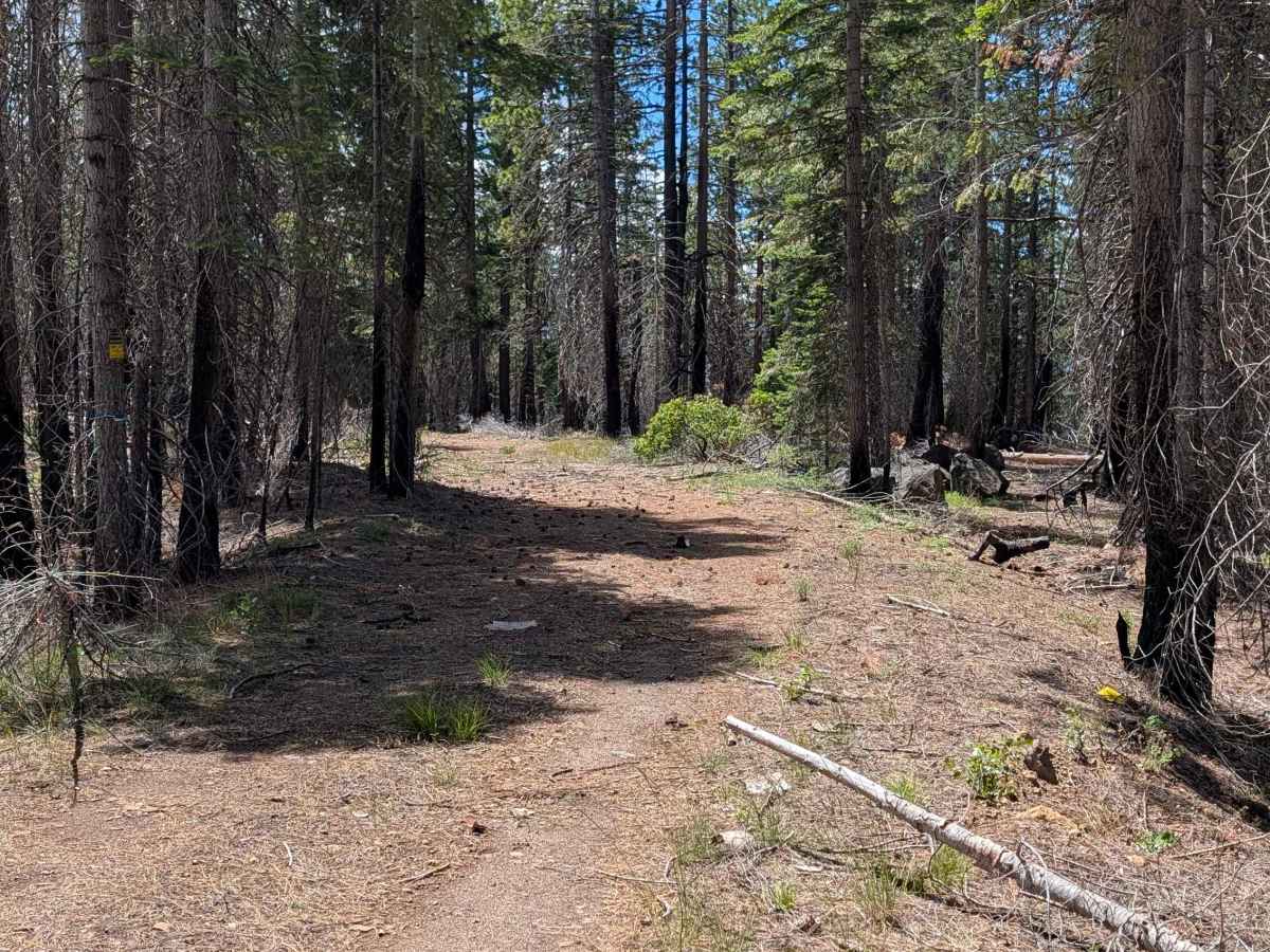
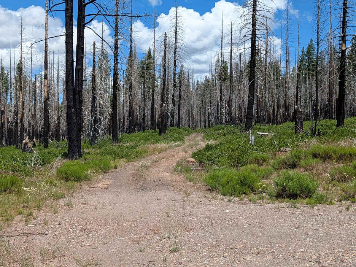
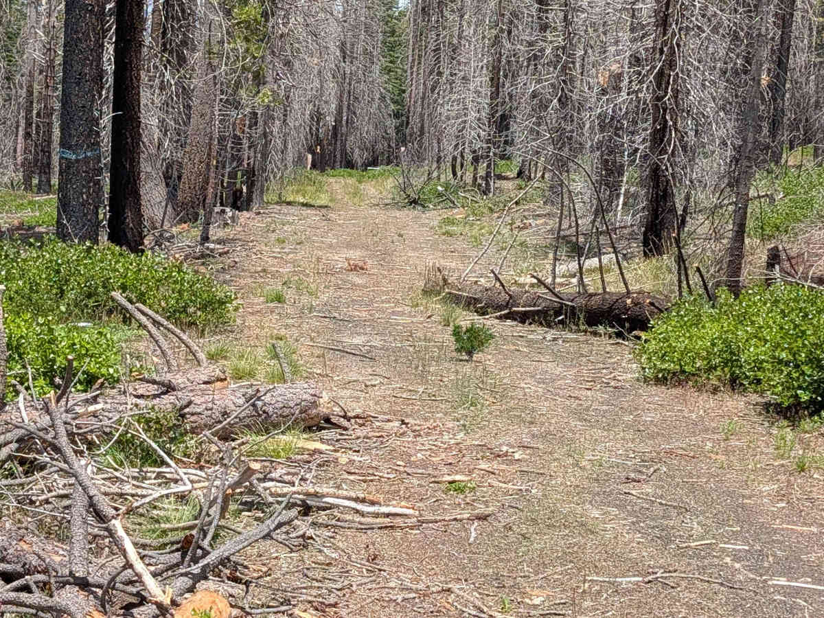
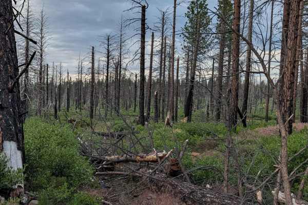
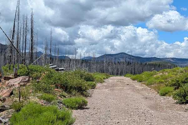
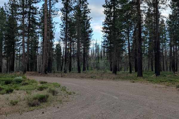
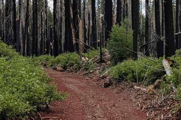
This 6.5-mile out-and-back trail begins and ends at the Pumice Mountain West (FS 43N15) junction. It traverses a stark, post-fire landscape within the Klamath National Forest, deeply impacted by the 2021 Antelope Forest Fire. The terrain is defined by its recovery stage; vegetation is currently sparse, consisting primarily of scattered grasses and the occasional bush, which leaves the landscape feeling vast and exposed. While the trail has seen some maintenance, it serves as a raw reminder of the fire’s intensity, with many cleared, downed trees lining the route as evidence of ongoing recovery efforts.
Difficulty
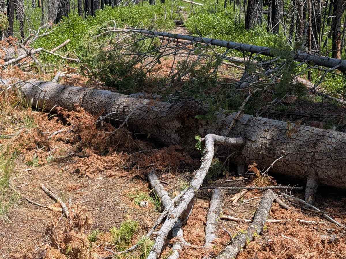
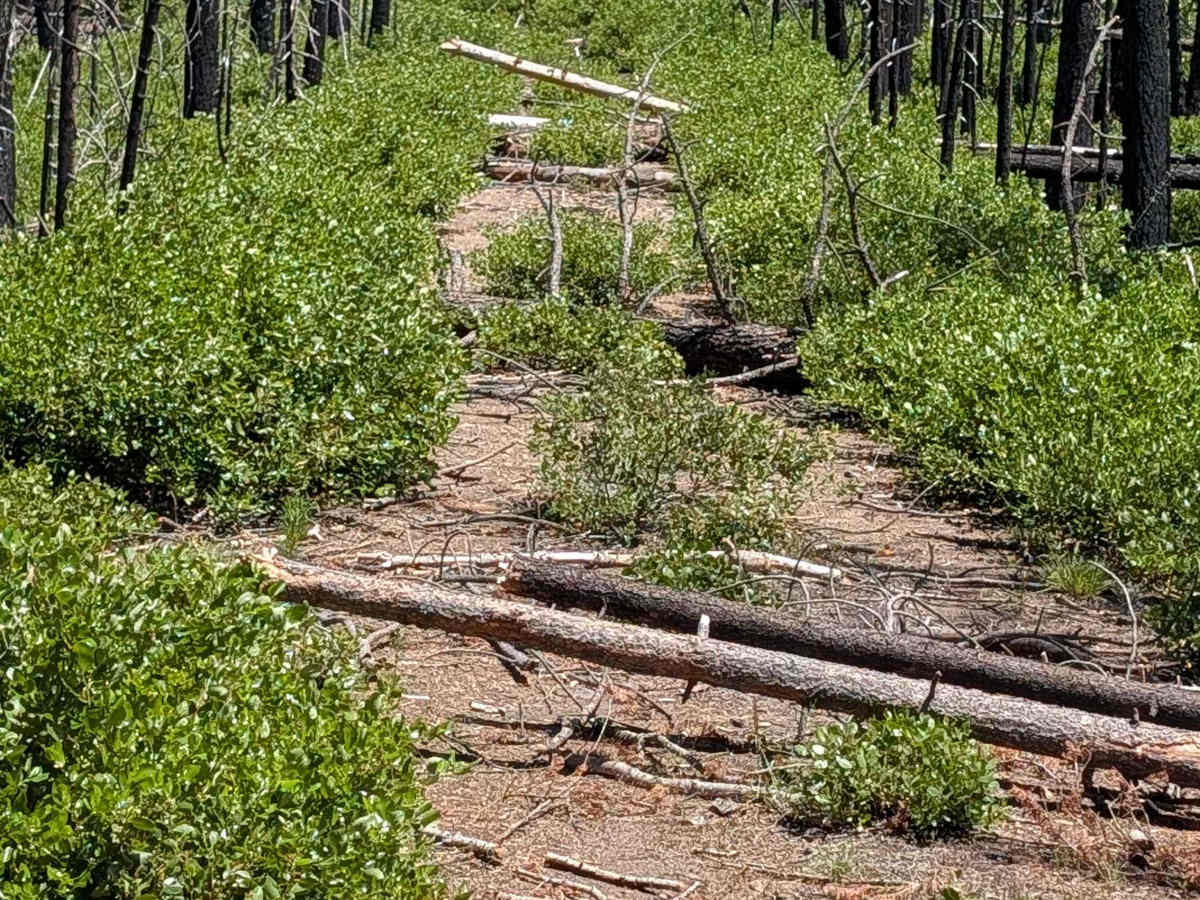
Carrying a rating of 2, the trail consists primarily of hard-packed dirt. While not technically challenging in terms of rock or steep grades, it is very narrow, making maneuvering difficult. You will encounter many instances where trees have been cut and pushed aside, which can create pinch points. The most critical difficulty is the terminus: the trail ends abruptly due to a dense thicket of overgrown manzanita bushes and a large accumulation of downed timber. There is very little room to turn around at the end of the trail. If you are traveling with a group or in a longer vehicle, exercise extreme caution and consider scouting the final stretch on foot before committing to the end of the track.

 Offroad