
Dirt Bike Trails
Near Cedarville, California
Explore All Dirt Bike Trails Near Cedarville, California
Dirt Bike Trails Near Cedarville, California
Discover the best dirt bike trails near you. Browse trail maps, check difficulty ratings, and find your next adventure — whether you're looking for a quick ride or an all-day expedition.
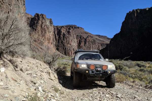
High Rock Canyon
High Rock Canyon is a rugged, two-track trail following the canyon floor and crossing High Rock Creek multiple times. It is accessed from the east via NV-8 at NV-34. This trail connects on its eastern end with Soldier's Meadow, where there is camping and hot/cold springs. From Soldier's Meadow, you ...
Learn more about High Rock Canyon

Warner Mountains
This area is part of Modoc National Forest. There are several obsidian collection areas that require a permit that can be obtained at the Alturas Forest Service building. Once you get into the range, the obsidian is everywhere, so beware of flat tires. The area is known for its pink and rainbow obsi...
Learn more about Warner Mountains
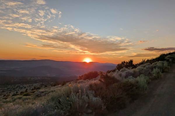
Mount Lively South Fork Mountain Road
This trail begins just off Highway 395 south of the village of Likely, starting on BLM land before transitioning in and out of Modoc National Forest. The first stretch is a recently graded dirt road with scattered loose and embedded rocks, surrounded by sagebrush and stands of pine. After about thre...
Learn more about Mount Lively South Fork Mountain Road
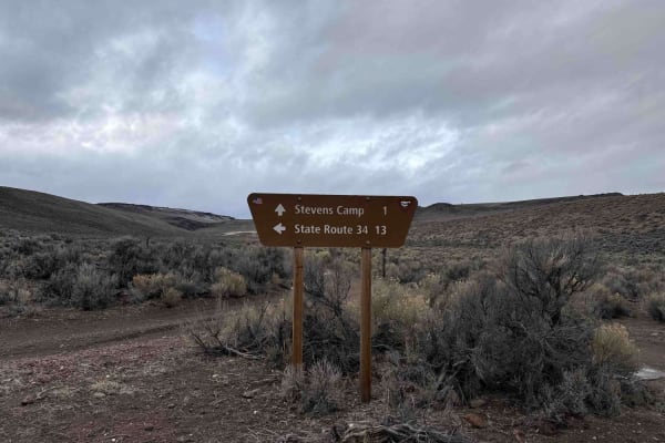
Stevens's Camp Back Door
This trail provides a back way to or from the top of High Rock Canyon trail/Stevens Camp out to County Road 34. There are a couple of large washes you cross and it is a bit rocky but other than that if the trail is dry it is pretty mellow. It is a very remote location as the BLM signs say you are on...
Learn more about Stevens's Camp Back Door
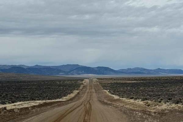
County Road 34
If you want to experience the Nevada backcountry at its finest, County Road 34 (CR 34) north of Gerlach is an excellent choice. This easy dirt road winds through rolling hills and wide-open stretches of the high Nevada desert, offering expansive views and a true sense of solitude. The drive is gener...
Learn more about County Road 34
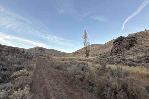
Miner's Draw Cabin - FS 6175, 6145, 6105
Forest Service Road 6175 offers a fun, easygoing route from Plush, Oregon, to the Sunstone Collection Area, making it a great option for anyone looking to explore Oregon’s high desert without tackling technical terrain. The road surface is generally well-graded gravel with stretches of compact dirt ...
Learn more about Miner's Draw Cabin - FS 6175, 6145, 6105
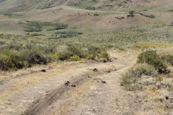
Barnhardy Rd
Barnhardy Road is usually open August thru December. The road runs between Hot Springs Campground and Guano Campground. It is mostly a nice two-track, but there are some rutted and rocky sections. You will also encounter several water crossings that are usually shallow, except after rainfall. Expect...
Learn more about Barnhardy Rd
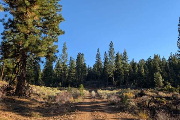
FS 33N53
This short, rocky road branches off the 45, climbs into the mountains, briefly levels out, and descends into a beautiful, green, forested area. The route is rocky throughout, like many roads in this part of the forest, so take care with tire placement, especially around sharper rocks. The route has ...
Learn more about FS 33N53
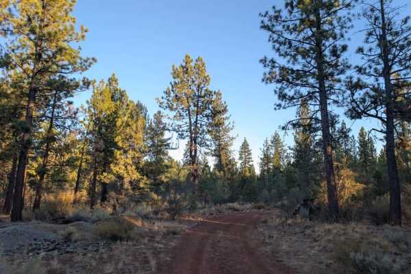
FS 33N68Y
This maintained trail starts off the main road with a narrow entrance that might make you think it's only suitable for ATVs and Side-by-Sides, but it's actually a good route for capable vehicles. The road climbs into the mountains and is generally in good condition, with a few rocky sections that ar...
Learn more about FS 33N68Y
Skyline Drive Trail
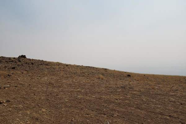
Skyline Drive Trail is a scenic, moderately challenging overland route designed for high-clearance four-wheel-drive vehicles seeking sweeping views across Oregon's remote Hart Mountain National Antelope Refuge. This approximately eight-mile unmaintained trail climbs from Lookout Point at 6,184 feet ...
Learn more about Skyline Drive Trail
FS 33N50
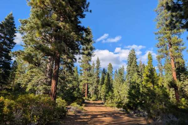
This short trail climbs into the mountain along a dusty red surface made up of silty sand and rocks. As the road rounds a corner, it appears to continue, but a large fallen tree completely blocks the route, and no established path goes around or through it. The trail ends here, so do not try to push...
Learn more about FS 33N50
FS 33N60
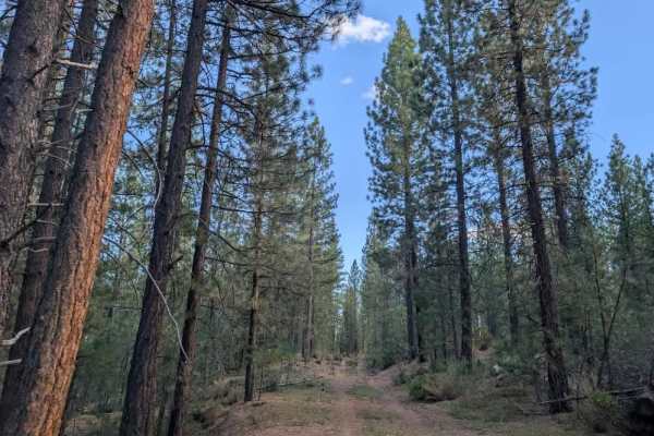
This narrow, single-lane trail winds through a beautiful forest with varied terrain along the way. Some sections have a soft pine-needle covering that makes for a smoother ride, while others narrow into rocky corridors surrounded by fallen trees and encroaching branches. Rocks are scattered across t...
Learn more about FS 33N60
A1
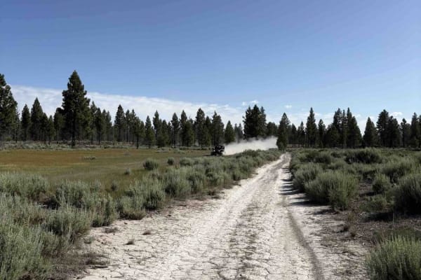
This is how you will get from Spaulding Tract out to county road A1, also known as Eagle Lake Road. The route is dusty and a bit rocky, but not hard. Trees will be down across the trail at random locations. This is not the only way to get out to Eagle Lake Road, but one of the best ways to get out t...
Learn more about A1
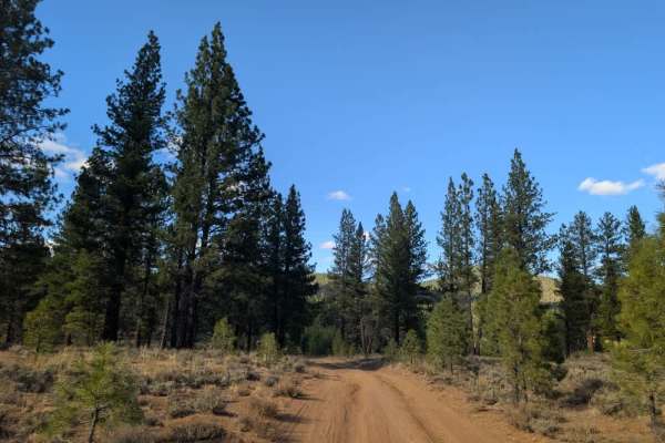
FS 33N06
This short but enjoyable trail winds through the forest along a brown, sandy road, with plenty of flat areas along the way that are suitable for dispersed camping. The route is generally easy to drive in dry conditions, although some sections have been washed out by rain, leaving uneven areas to nav...
Learn more about FS 33N06
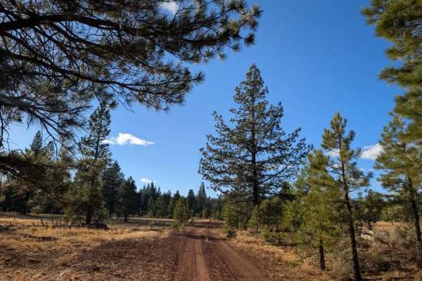
FS 33N62
This dusty red gravel road appears to be a main connector between several trails in the area. It is generally easy to follow, but the surface is exceptionally corrugated, so expect a rough, bumpy ride for much of the route. Take your time and adjust your speed to stay comfortable on the uneven surfa...
Learn more about FS 33N62
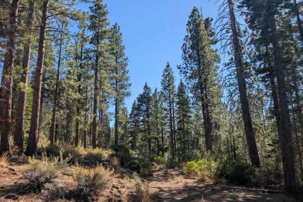
FS 33N94B
This easy, well-maintained trail winds through a greener section of forest than much of the surrounding area, making it a pleasant route to explore. The road is generally straightforward to navigate, with tall underbrush along some sections being the main obstacle. Toward the end, you’ll reach a tim...
Learn more about FS 33N94B
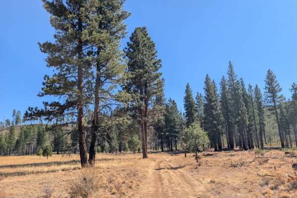
FS 32N67Y
This trail starts pleasantly, winding through the area before passing two campgrounds. The first is relatively straightforward, while the second has a large, open area with plenty of sun and a substantial fire ring. Beyond the second campground, the road gets much dustier and rougher underfoot, with...
Learn more about FS 32N67Y
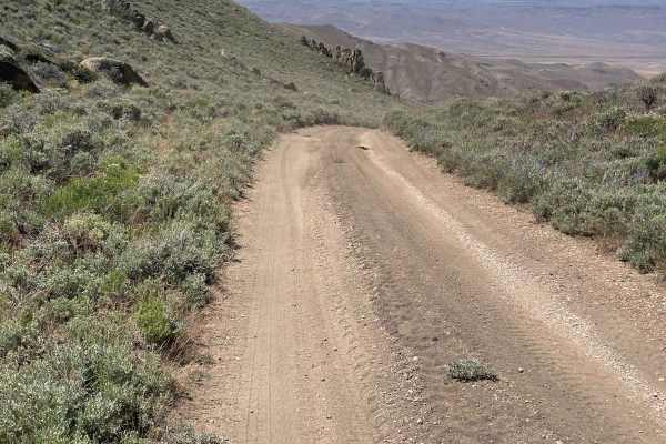
Knott Creek Reservoir North Access
The starting point is right near Gridley Lake and you will head east up the trail toward the mountains. There is mining activity in the area, so Knott Creek Road will have a bit of heavy truck traffic to at least be aware of. This trail will start off pretty mild, but there are a few areas to watch ...
Learn more about Knott Creek Reservoir North Access
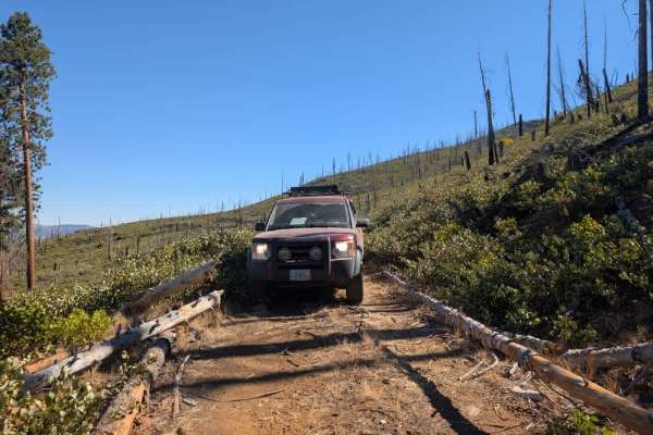
FS 32N05Y
This user-maintained loop starts relatively easy but becomes progressively rockier and more challenging as it climbs into the mountains. The road narrows along the way, with brush encroaching on both sides, so expect pinstriping. Low range may be necessary on some of the steeper or rockier sections,...
Learn more about FS 32N05Y
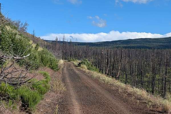
FS 44N23
This route serves as a significant transit line through the Modoc National Forest, traversing an area heavily impacted by the 2021 Antelope Forest Fire. While the fire's legacy is still clearly visible in the many standing dead trees throughout the landscape, the forest is beginning to recover with ...
Learn more about FS 44N23
ATV trails near Cedarville, California
Explore ATV-friendly trails near you. These trails are accessible for vehicles up to 50 inches wide, perfect for ATVs and smaller off-road machines.
High Rock Canyon
High Rock Canyon is a rugged, two-track trail following the canyon floor and crossing High Rock Creek multiple times. It is accessed from the east via NV-8 at NV-34. This trail connects on its eastern end with Soldier's Meadow, where there is camping and hot/cold springs. From Soldier's Meadow, you ...
Learn more about High Rock Canyon
Warner Mountains
This area is part of Modoc National Forest. There are several obsidian collection areas that require a permit that can be obtained at the Alturas Forest Service building. Once you get into the range, the obsidian is everywhere, so beware of flat tires. The area is known for its pink and rainbow obsi...
Learn more about Warner Mountains
Mount Lively South Fork Mountain Road
This trail begins just off Highway 395 south of the village of Likely, starting on BLM land before transitioning in and out of Modoc National Forest. The first stretch is a recently graded dirt road with scattered loose and embedded rocks, surrounded by sagebrush and stands of pine. After about thre...
Learn more about Mount Lively South Fork Mountain Road
Stevens's Camp Back Door
This trail provides a back way to or from the top of High Rock Canyon trail/Stevens Camp out to County Road 34. There are a couple of large washes you cross and it is a bit rocky but other than that if the trail is dry it is pretty mellow. It is a very remote location as the BLM signs say you are on...
Learn more about Stevens's Camp Back Door
UTV/side-by-side trails near Cedarville, California
Find UTV and side-by-side trails near you. These trails accommodate vehicles up to 60 inches wide, ideal for UTVs, side-by-sides, and wider off-road rigs.
High Rock Canyon
High Rock Canyon is a rugged, two-track trail following the canyon floor and crossing High Rock Creek multiple times. It is accessed from the east via NV-8 at NV-34. This trail connects on its eastern end with Soldier's Meadow, where there is camping and hot/cold springs. From Soldier's Meadow, you ...
Learn more about High Rock Canyon
Warner Mountains
This area is part of Modoc National Forest. There are several obsidian collection areas that require a permit that can be obtained at the Alturas Forest Service building. Once you get into the range, the obsidian is everywhere, so beware of flat tires. The area is known for its pink and rainbow obsi...
Learn more about Warner Mountains
Mount Lively South Fork Mountain Road
This trail begins just off Highway 395 south of the village of Likely, starting on BLM land before transitioning in and out of Modoc National Forest. The first stretch is a recently graded dirt road with scattered loose and embedded rocks, surrounded by sagebrush and stands of pine. After about thre...
Learn more about Mount Lively South Fork Mountain Road
Stevens's Camp Back Door
This trail provides a back way to or from the top of High Rock Canyon trail/Stevens Camp out to County Road 34. There are a couple of large washes you cross and it is a bit rocky but other than that if the trail is dry it is pretty mellow. It is a very remote location as the BLM signs say you are on...
Learn more about Stevens's Camp Back Door
The onX Offroad Difference
onX Offroad combines trail photos, descriptions, difficulty ratings, width restrictions, seasonality, and more in a user-friendly interface. Available on all devices, with offline access and full compatibility with CarPlay and Android Auto. Discover what you're missing today!
Open Trail Map