FS 33N68Y

Total Miles1
Technical Rating
1Easy
Best TimeSpring, Summer, Fall
Trail TypeFull-Width Road
Accessible By
Open Trail Map

Trail Overview

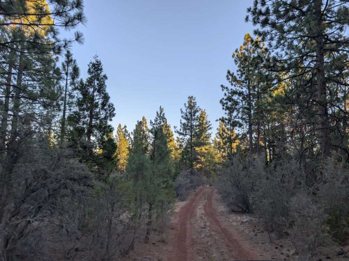
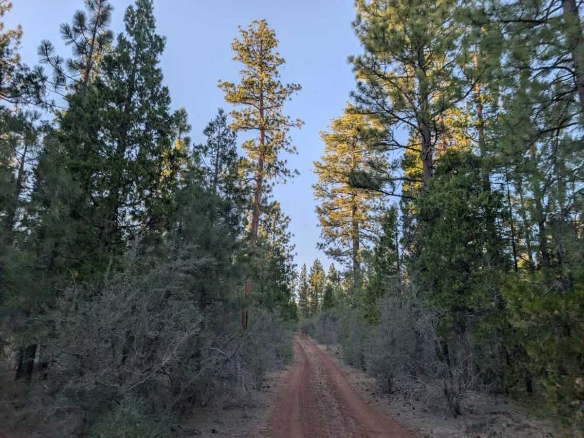
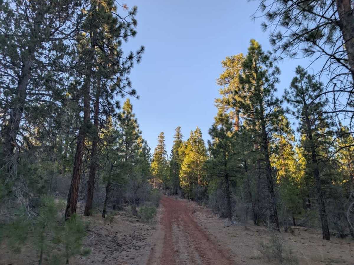
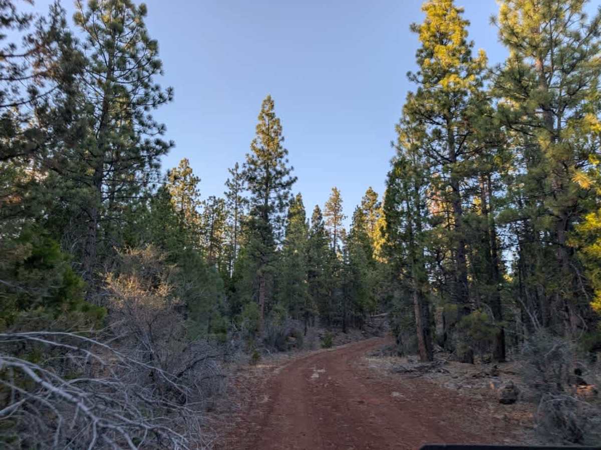
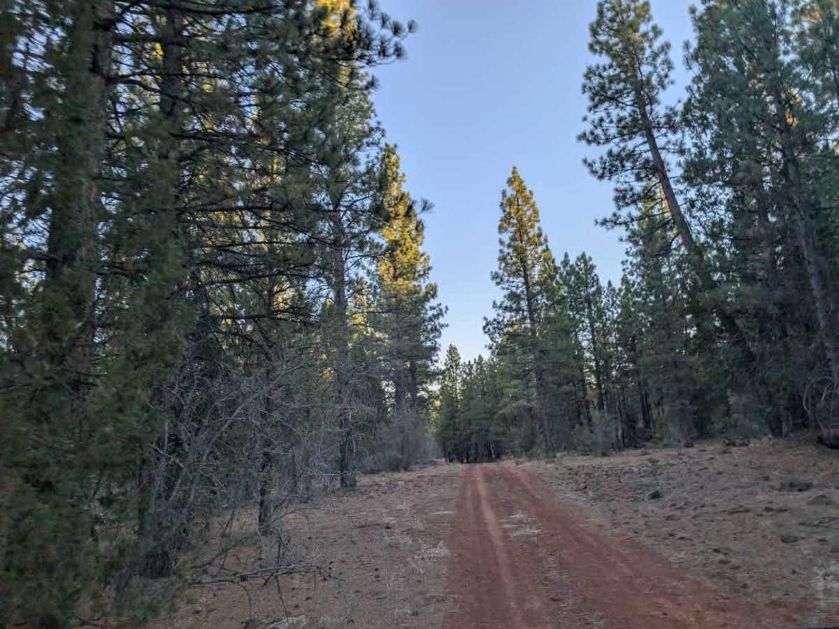
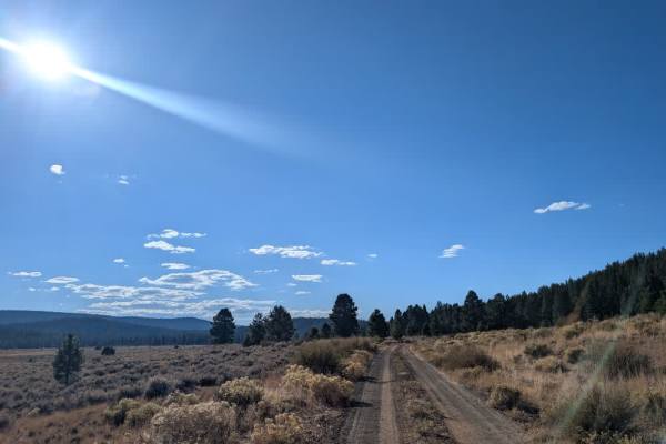
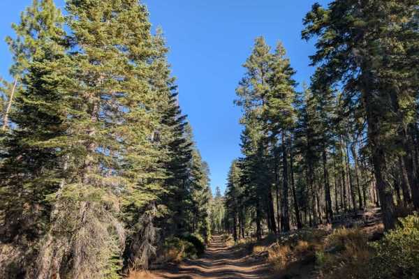
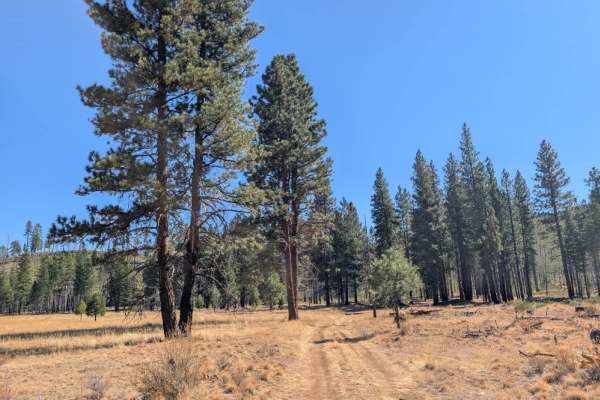
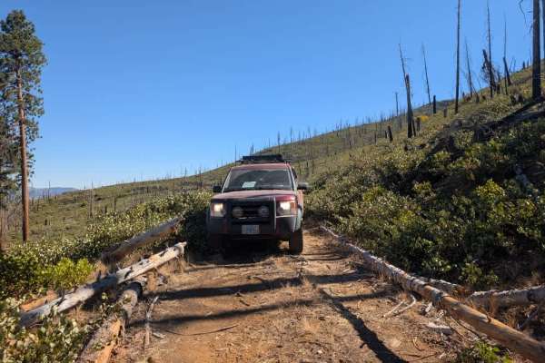
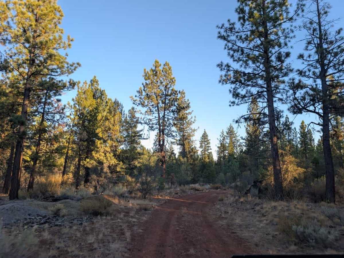
This maintained trail starts off the main road with a narrow entrance that might make you think it's only suitable for ATVs and Side-by-Sides, but it's actually a good route for capable vehicles. The road climbs into the mountains and is generally in good condition, with a few rocky sections that are much more manageable than those found on many of the surrounding trails. The route continues farther up, although the terrain begins to change beyond the more popular section, where many drivers choose to turn around. Taller and wider vehicles may experience some pinstriping from the surrounding vegetation. Along the way, you'll find a lovely dispersed campsite tucked into the forest, with a fire ring and plenty of room for several vehicles. Another red volcanic gravel road branches off nearby and leads to a second large campsite, although this route doesn't appear on the map. ATVs, UTVs, Side-by-Sides, and Dirt Bikes must always have a valid California ATV Operating Permit sticker.

Photos of FS 33N68Y

Difficulty

The trail is manageable overall, although taller and wider vehicles may encounter tight clearance from vegetation.

Technical Rating

1

FS 33N68Y Trail can be accessed by the following ride types:

  • Single Track
  • 50 Inch
  • 60 Inch
  • High Clearance
  • Full Width

FS 33N68Y Map

The onX Offroad Difference

onX Offroad combines trail photos, descriptions, difficulty ratings, width restrictions, seasonality, and more in a user-friendly interface. Available on all devices, with offline access and full compatibility with CarPlay and Android Auto. Discover what you're missing today!

Open Trail Map