Trail Overview
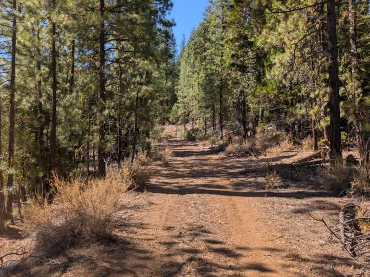
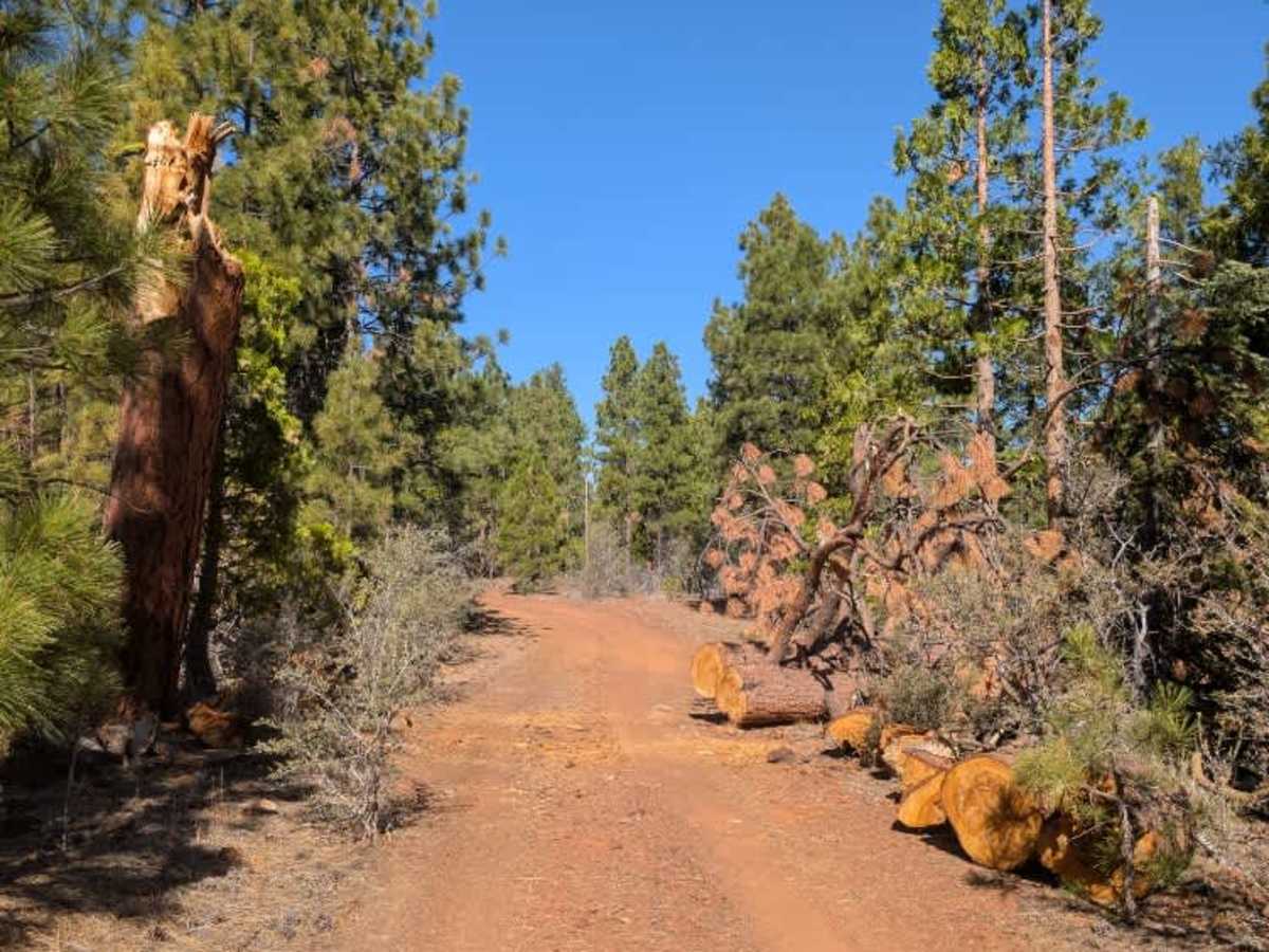
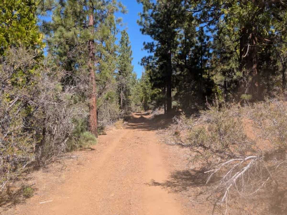
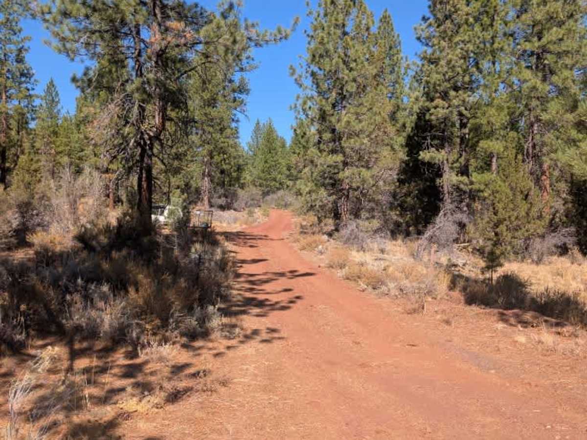
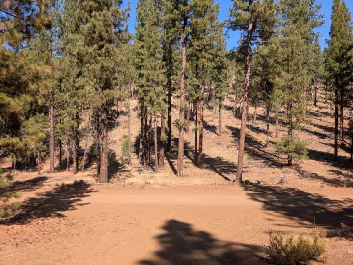
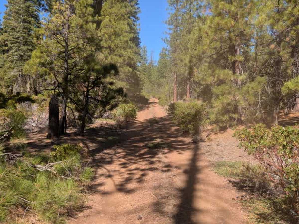
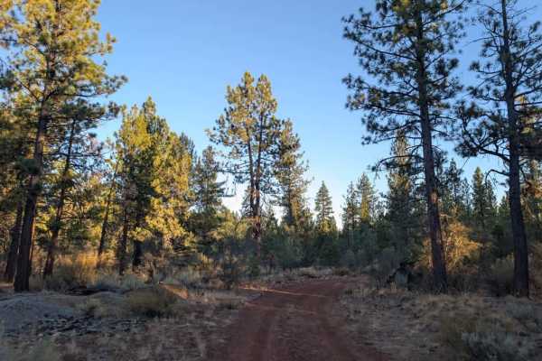
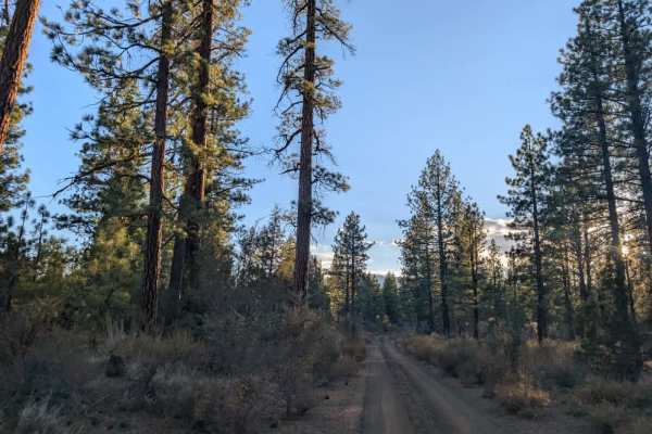
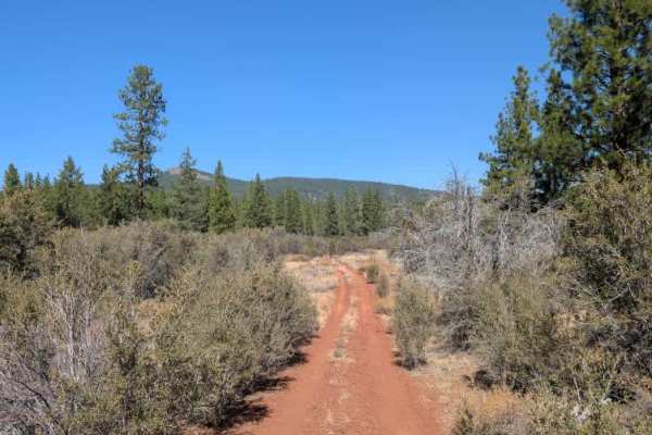
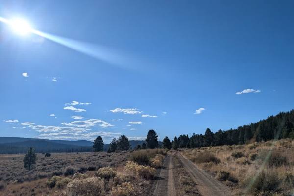
This main arterial trail connects several routes in the area, running from a paved road at the bottom to the unpaved Champs Flat (45) at the top. The terrain has a dry, almost desert-like feel in places, though scattered pine trees remain throughout the surrounding national forest. The road shows noticeable wear, with rocky sections and loose stones that can be hard to spot in shaded areas or on inclines. The route also has a few sharp corners and awkward intersections where it seems less frequently traveled, so pay attention as you go. Near the southern end, just off the paved road, a larger open area could be used for parking or dispersed camping. ATVs, UTVs, Side-by-Sides, and Dirt Bikes must always have a valid California ATV Operating Permit sticker.
Difficulty
Rocky sections, loose stones, and sharp corners require careful driving, especially on inclines and in shaded areas.