Trail Overview
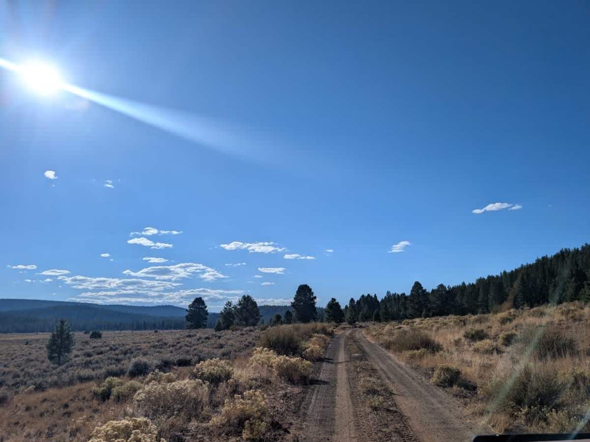
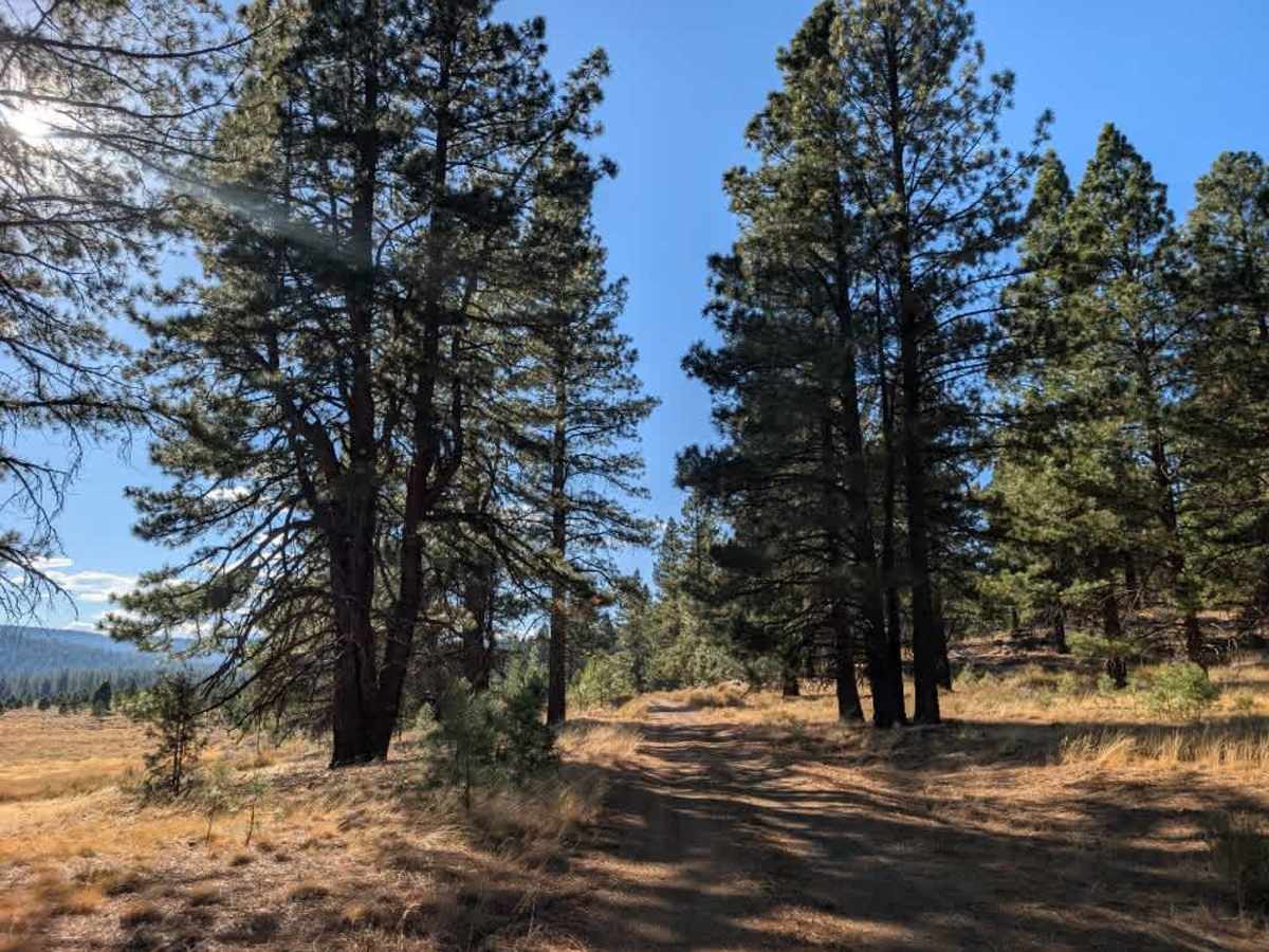
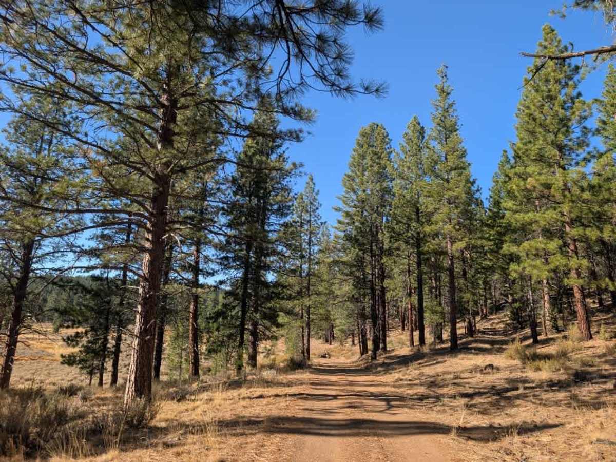
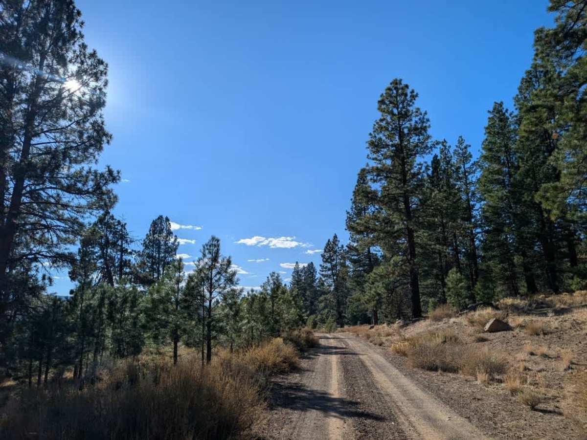
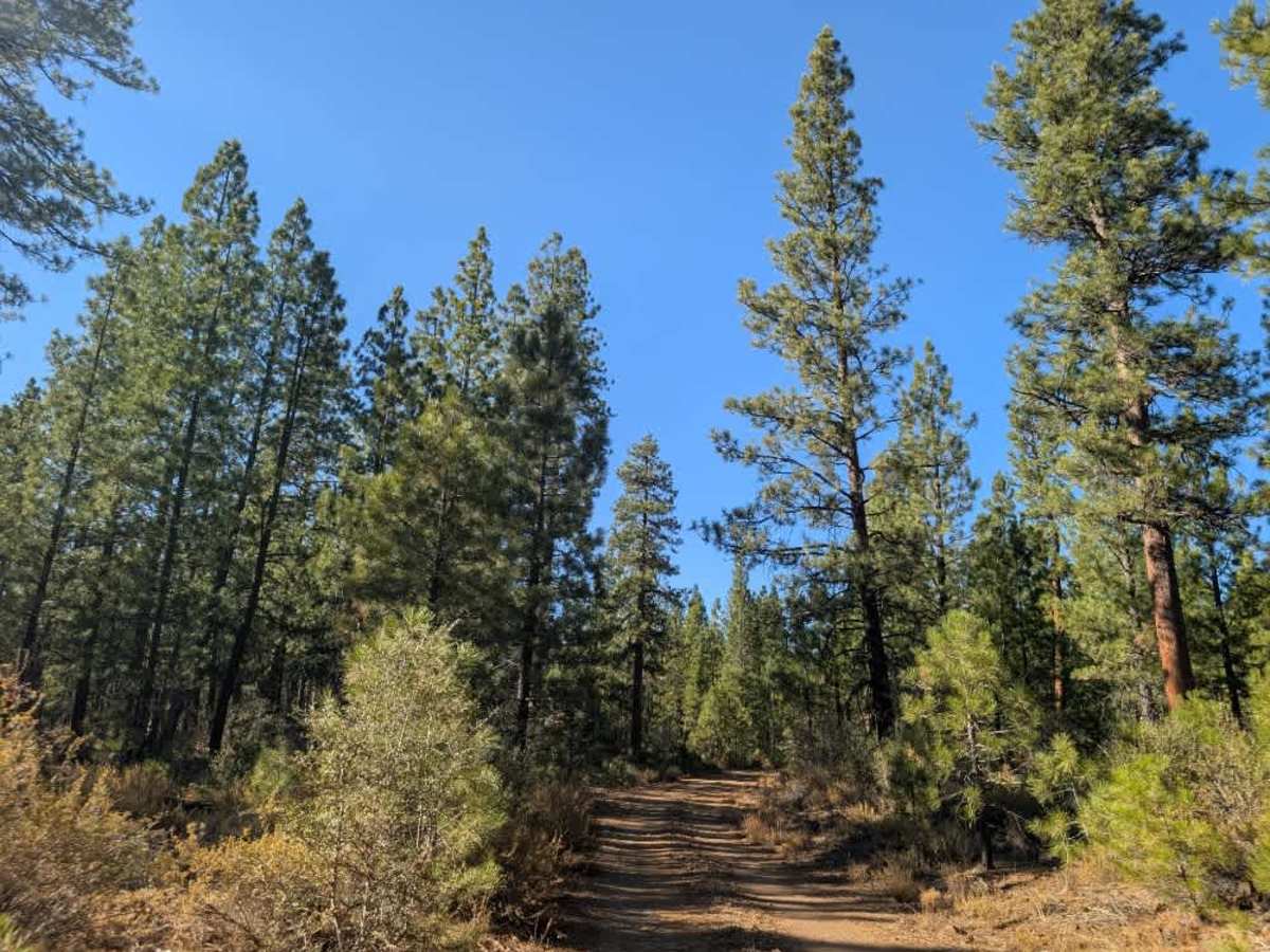
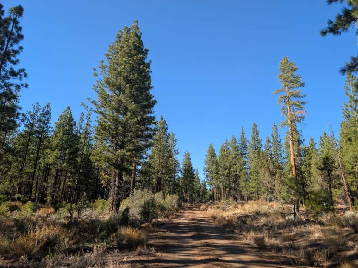
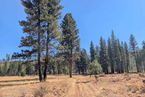
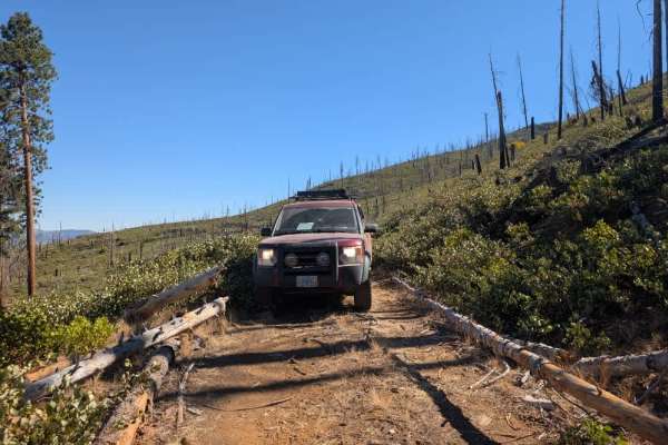
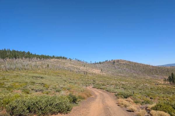
This well-maintained trail winds through a beautiful valley, offering gorgeous views of the surrounding landscape and a dry lake area as you travel alongside FS 33N94. The route also heads toward Cave Mountain, a popular peak in the area. Although the road is generally accessible to passenger cars, conditions can change considerably, particularly during the rainy season. Heavy rain can cause significant damage, as thick mud and sandy soil become clay-like and create deep ruts across the road. The trail also becomes progressively rougher toward the end, with numerous rocks, including some hidden beneath the surface. Take your time through these sections and watch carefully for loose or sharp stones. This trail is accessible only to Highway Legal Vehicles, so please do not take any other kind of vehicle on this road. ATVs, UTVs, Side-by-Sides, and Dirt Bikes must always have a valid California ATV Operating Permit sticker.
Difficulty
While the route is manageable in suitable conditions, wet weather can make the damaged sections much more challenging, so use extra caution after rainfall.