Trail Overview
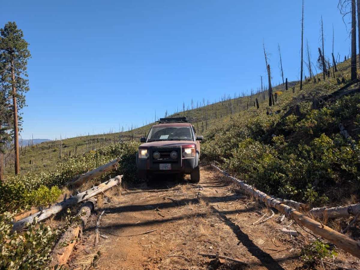
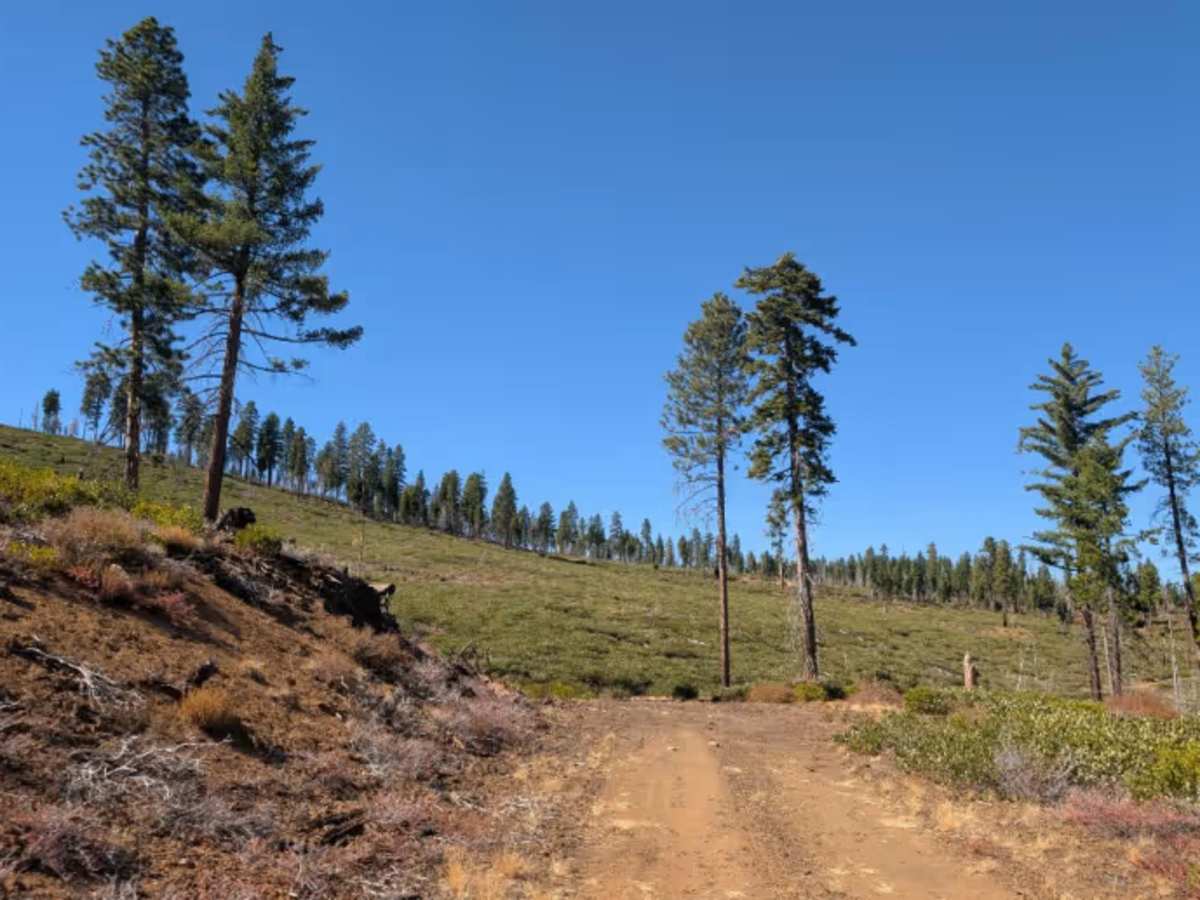
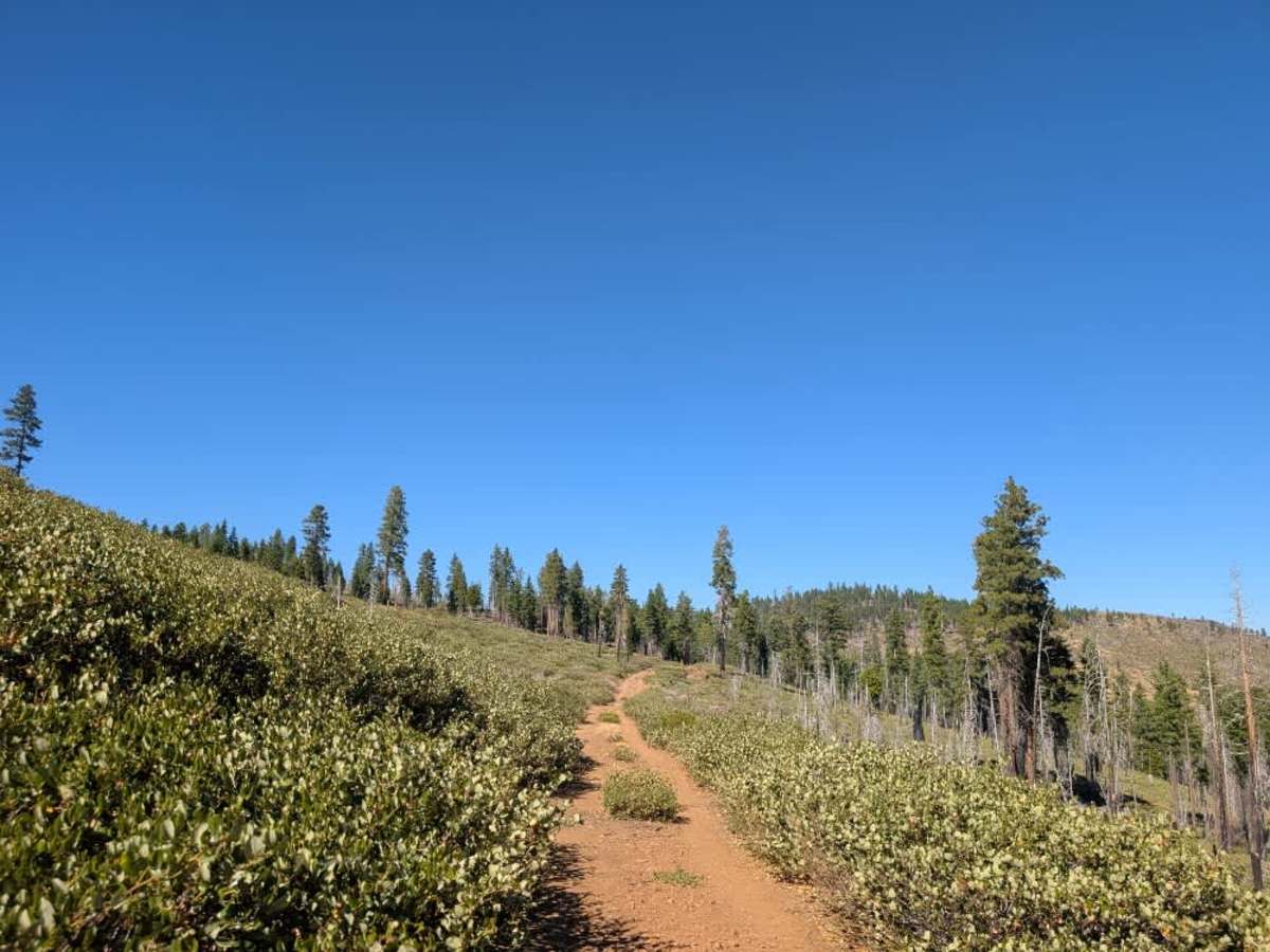
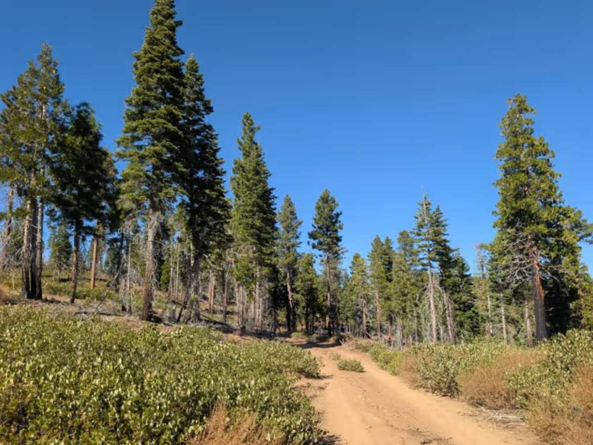
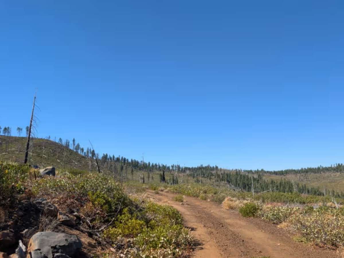
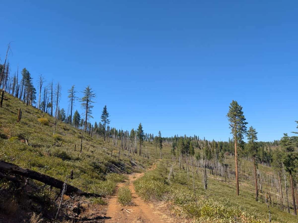
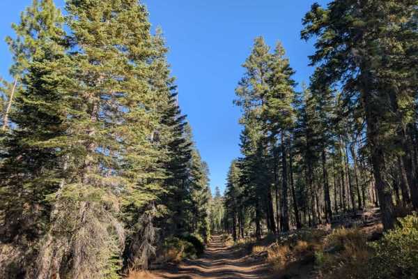
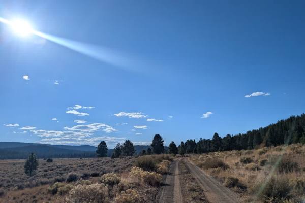
This user-maintained loop starts relatively easy but becomes progressively rockier and more challenging as it climbs into the mountains. The road narrows along the way, with brush encroaching on both sides, so expect pinstriping. Low range may be necessary on some of the steeper or rockier sections, and this route is best suited to high-clearance 4x4 vehicles, ATVs, and Side-by-Sides rather than sedans or ordinary passenger vehicles. As the trail winds around a bend, it tightens further, with numerous fallen trees cut back just enough to allow smaller vehicles through. Watch carefully for large trunks and sharp broken logs protruding into the driving path, as these can pose a serious hazard, particularly for ATVs and Side-by-Sides. Along the way, you’ll find beautiful mountain views and a potential dispersed camping area, making this a worthwhile option if you’re looking for a challenging little drive with a peaceful place to camp and enjoy the surroundings. ATVs, UTVs, Side-by-Sides, and Dirt Bikes must always have a valid California ATV Operating Permit sticker.