FS 33N38 North

Total Miles2.8
Technical Rating
1Easy
Best TimeSpring, Summer, Fall
Trail TypeFull-Width Road
Accessible By
Open Trail Map

Trail Overview

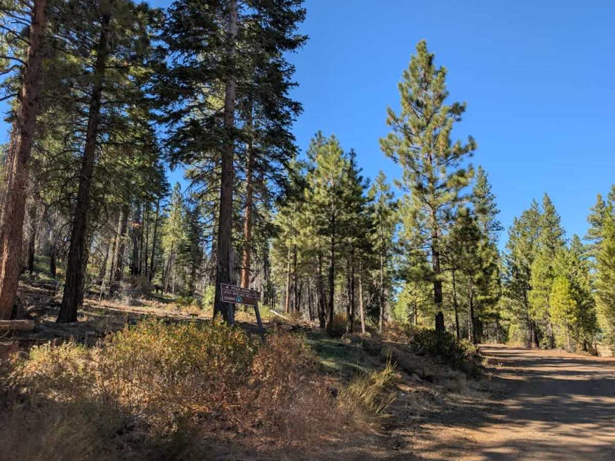
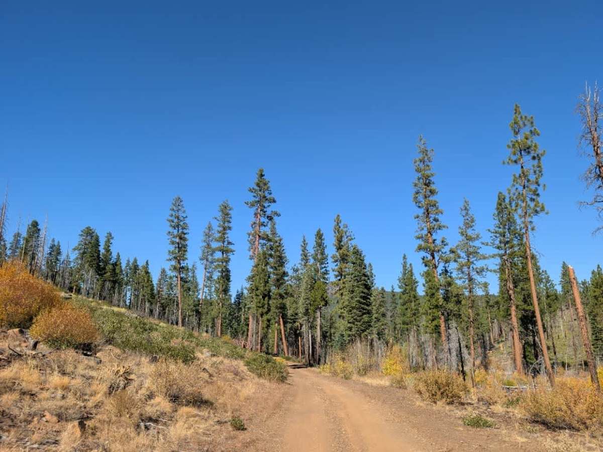
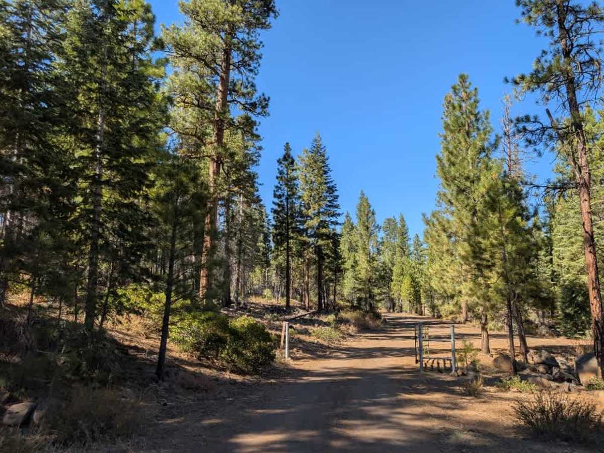
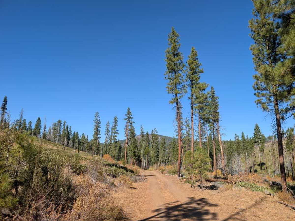
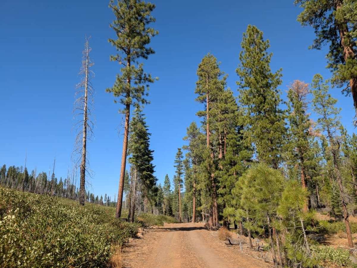
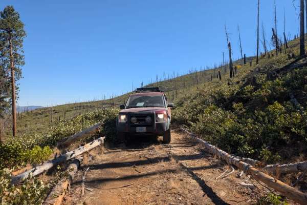
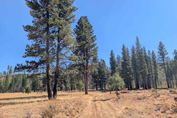
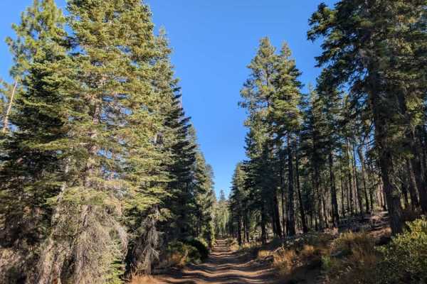
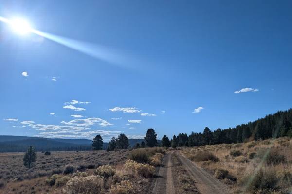
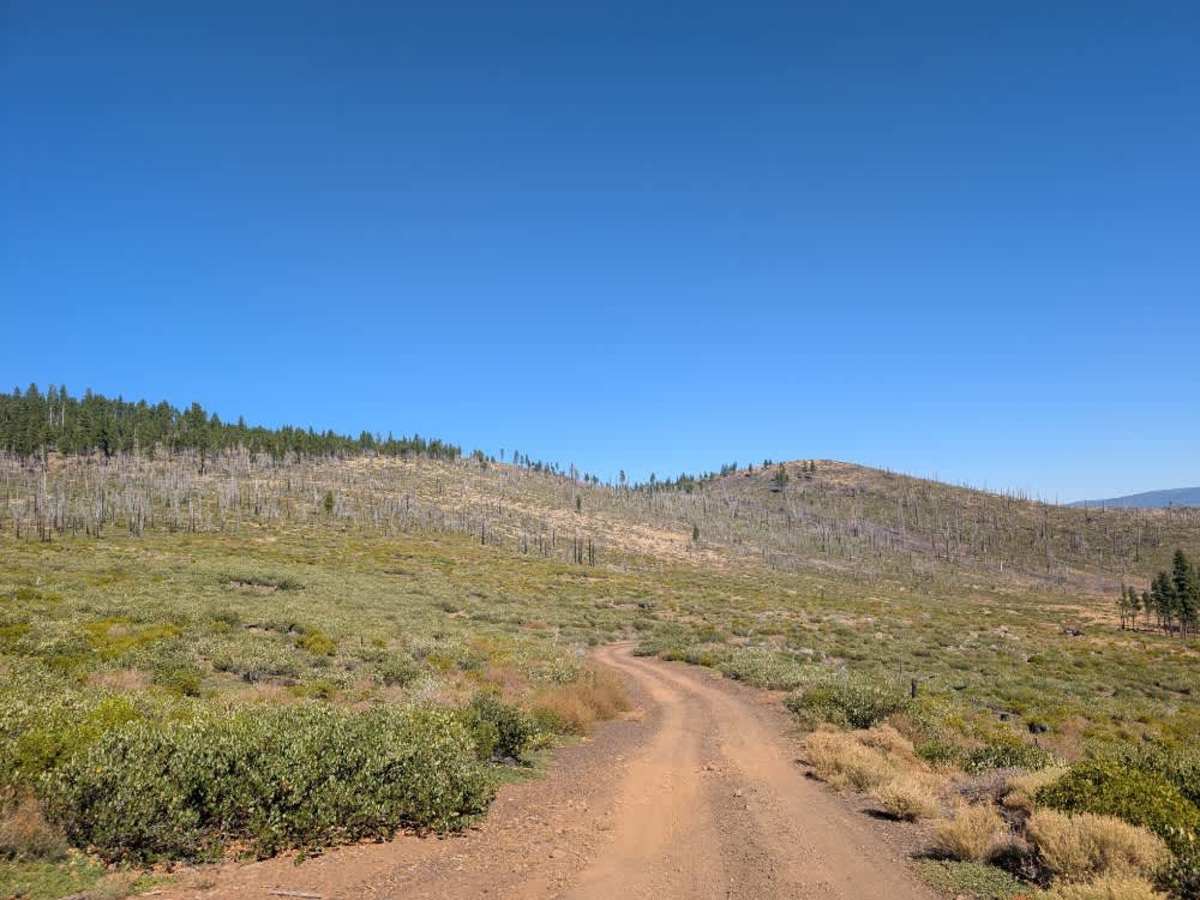
This northern section is a generally well-maintained, dusty road with a sandy surface and plenty of volcanic rock. In a few areas, water has washed away parts of the road, but overall conditions are good, and the route is relatively straightforward. Expect occasional rocky patches, although nothing particularly concerning for a suitably equipped vehicle. The trail is enjoyable to drive, with a couple of spur routes branching off along the way. Near the northern entrance, Prison Spring offers dispersed camping just a short distance from the trail start. Farther along, the route ends at another dispersed campsite with a staging area nearby. This marks an important change in conditions: beyond the campsite, the continuation becomes extremely rocky and narrow, requiring high clearance, substantial suspension travel, and low-range four-wheel drive. That rougher section suits ATVs and Side-by-Sides better than most conventional vehicles. ATVs, UTVs, Side-by-Sides, and Dirt Bikes must always have a valid California ATV Operating Permit sticker.

Photos of FS 33N38 North

Difficulty

The maintained road is easy to navigate, although conditions become much rougher beyond the final campsite.

Technical Rating

1

FS 33N38 North Trail can be accessed by the following ride types:

  • Single Track
  • 50 Inch
  • 60 Inch
  • High Clearance
  • Full Width

FS 33N38 North Map

The onX Offroad Difference

onX Offroad combines trail photos, descriptions, difficulty ratings, width restrictions, seasonality, and more in a user-friendly interface. Available on all devices, with offline access and full compatibility with CarPlay and Android Auto. Discover what you're missing today!

Open Trail Map