FS 33N21C

Total Miles2.2
Technical Rating
2Easy
Best TimeSpring, Fall, Summer
Trail TypeFull-Width Road
Accessible By
Open Trail Map

Trail Overview

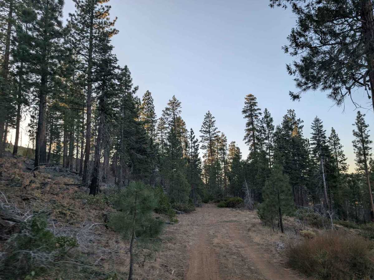
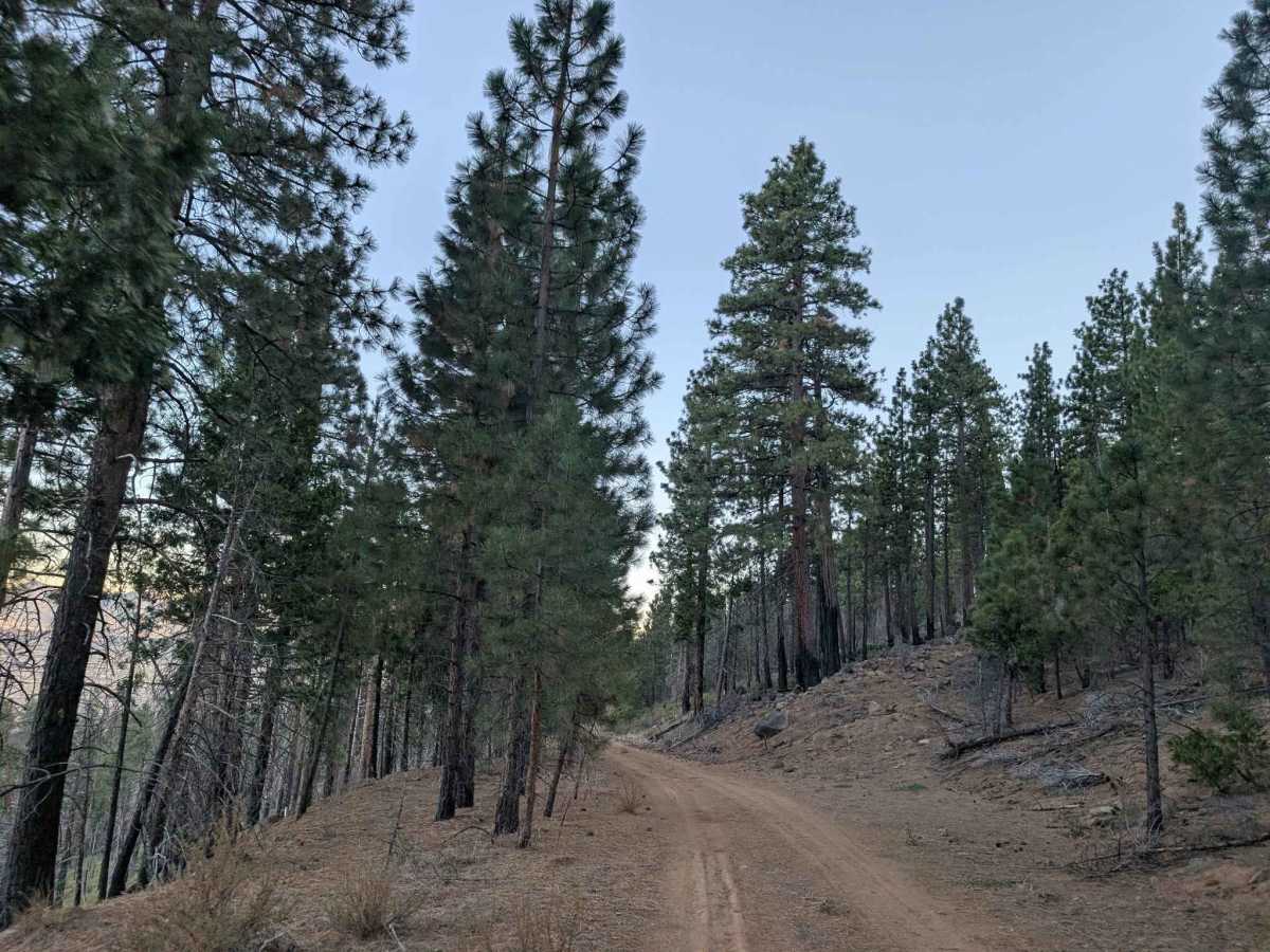
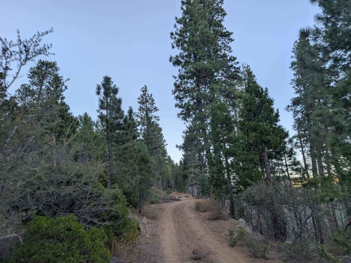
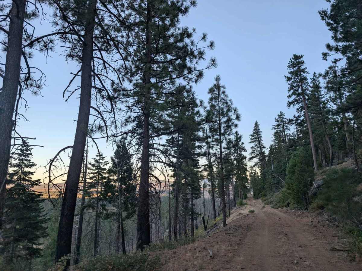
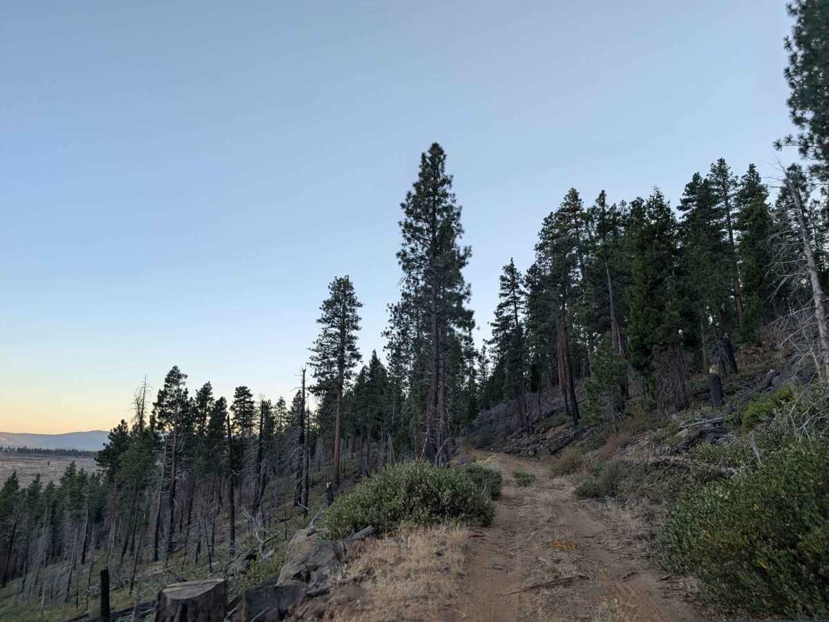
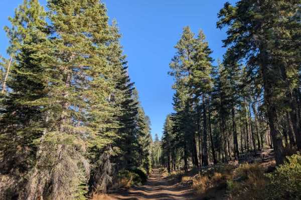
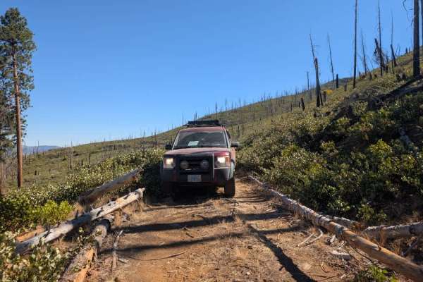
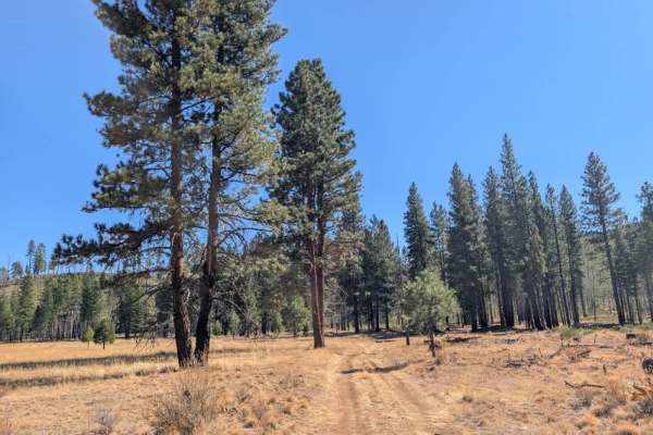
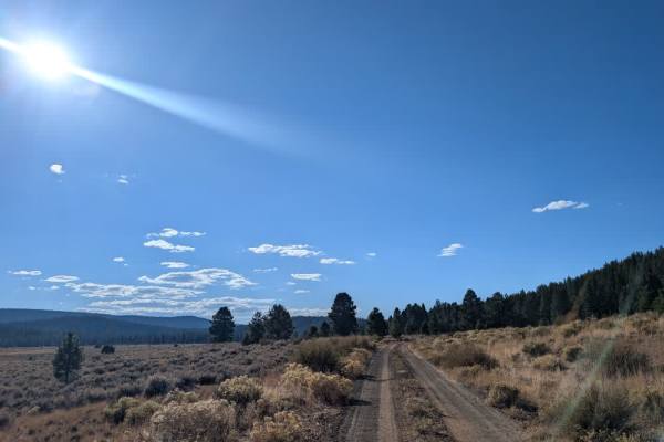
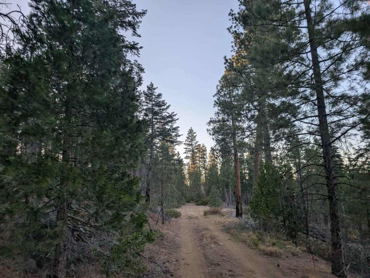
This rocky trail climbs into the mountains, then levels out onto a plateau and follows the mountain ridge. The road is exceptionally dusty and has plenty of rocks scattered across the surface, so take care with tire placement and avoid driving too quickly, as the sharper rocks could damage your tires. The route is generally well maintained, with fallen trees and other debris cleared where possible, although some obstacles remain. Along the mountainside, you’ll encounter areas of thick silt that can affect traction, as well as a few drop-offs, so drive carefully. Several pull-offs along the way let other traffic pass. The views make this route well worth exploring, with beautiful mountain scenery, Eagle Lake, and the surrounding volcanic lava field visible from different points along the ridge. ATVs, UTVs, Side-by-Sides, and Dirt Bikes must always have a valid California ATV Operating Permit sticker.

Photos of FS 33N21C

Difficulty

The rocky, dusty surface requires careful driving, with thick silt and occasional drop-offs along the ridge.

Technical Rating

2

FS 33N21C Trail can be accessed by the following ride types:

  • Single Track
  • 50 Inch
  • 60 Inch
  • High Clearance
  • Full Width

FS 33N21C Map

The onX Offroad Difference

onX Offroad combines trail photos, descriptions, difficulty ratings, width restrictions, seasonality, and more in a user-friendly interface. Available on all devices, with offline access and full compatibility with CarPlay and Android Auto. Discover what you're missing today!

Open Trail Map