Trail Overview
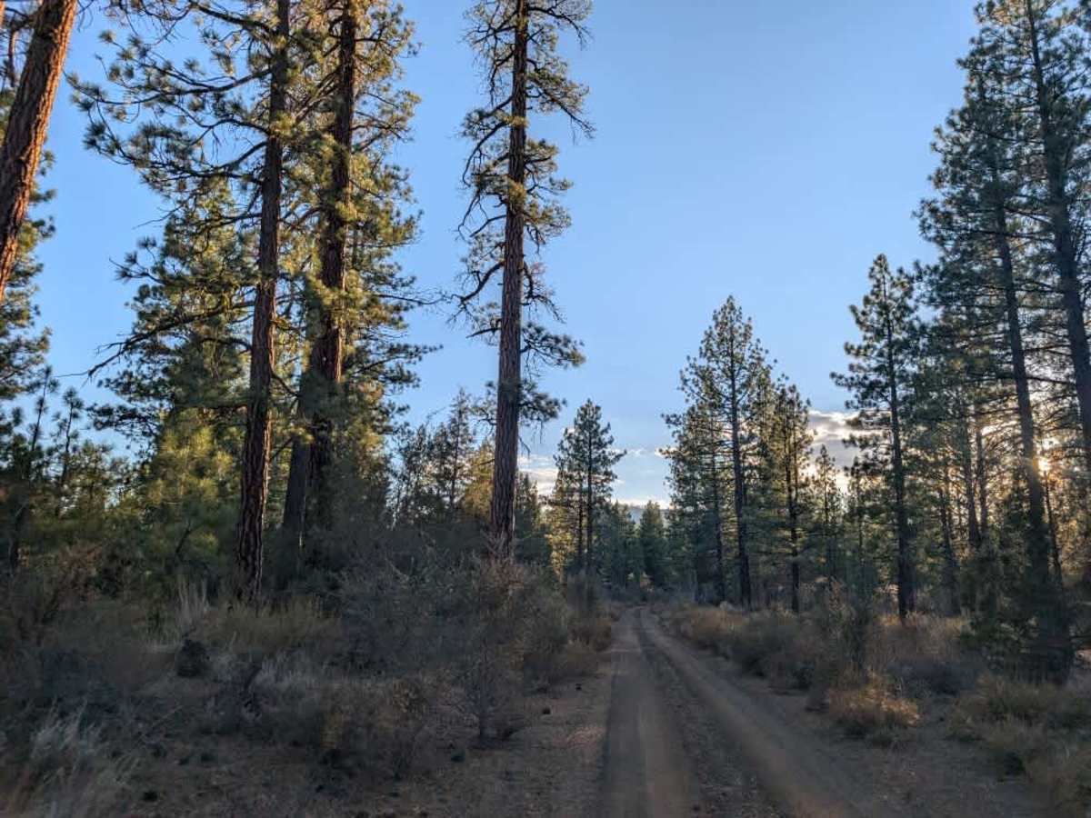
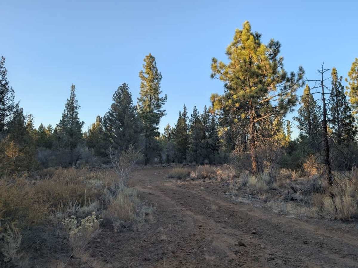
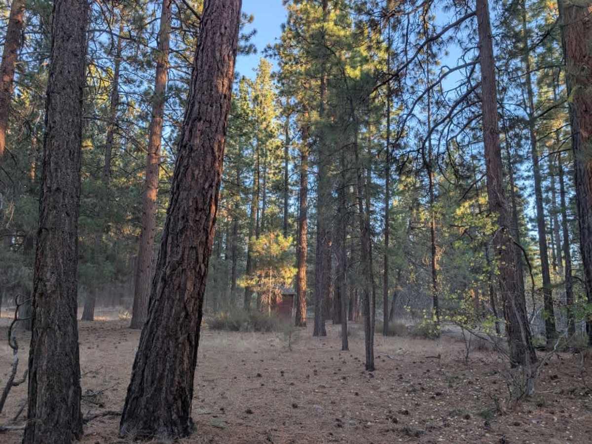
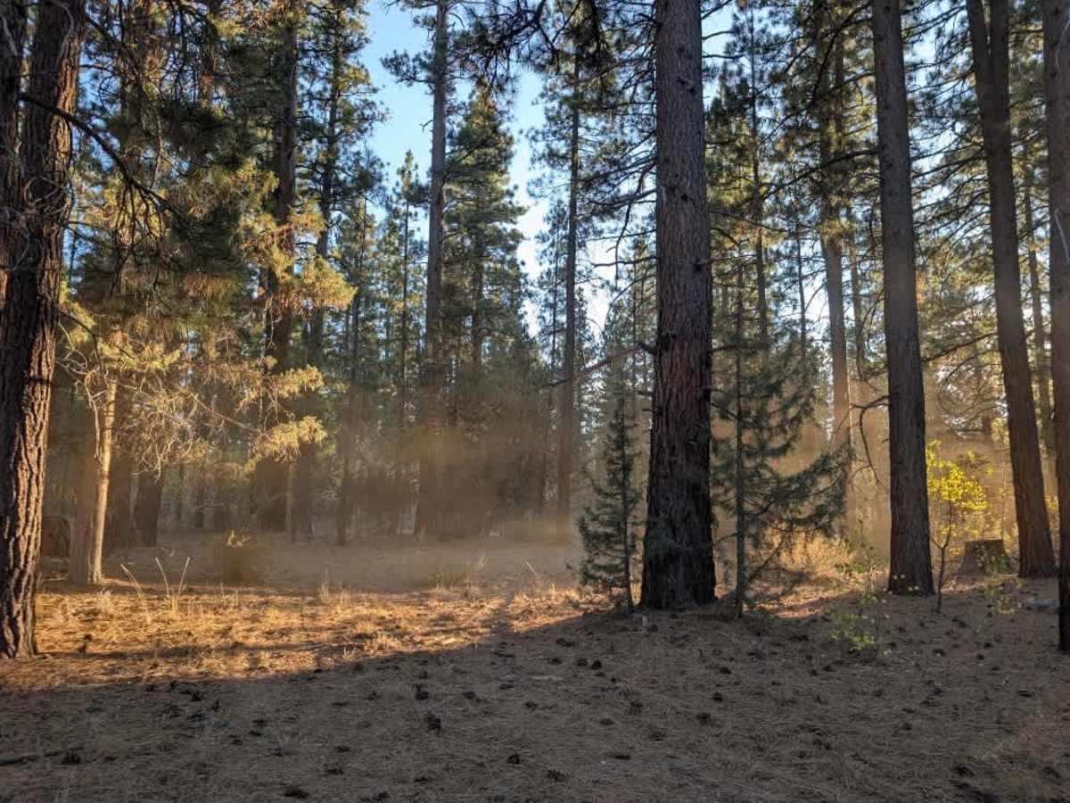
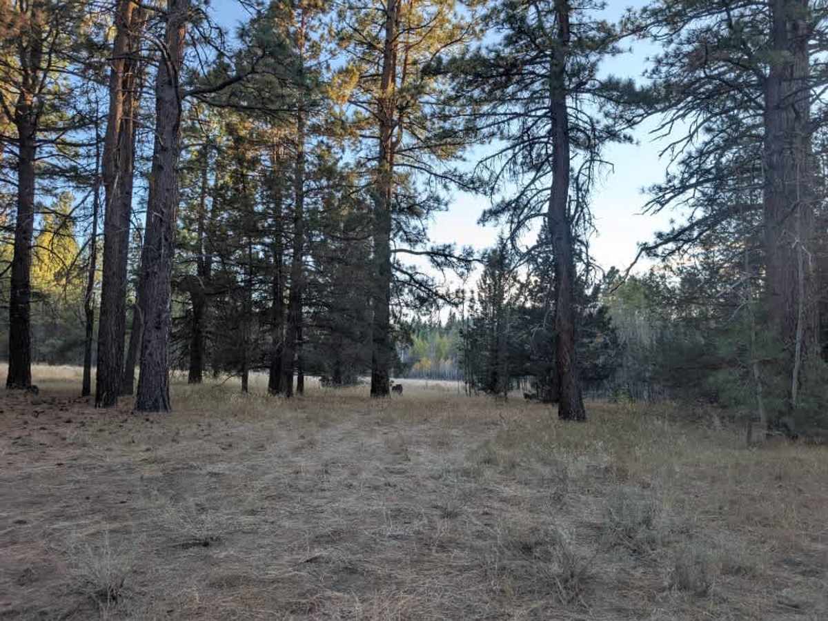
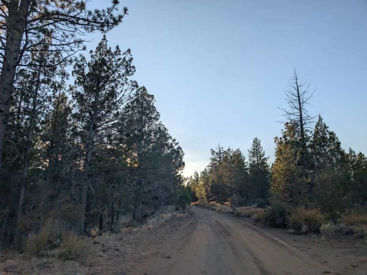
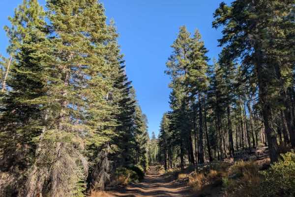
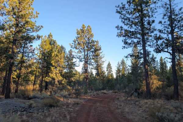
This short, popular trail has several branches, so pay attention to your route as you explore. This leads down to the creek, which was dry at the time of visiting. The road is mostly dusty, with rocky sections mixed with softer, fine-grained surfaces. There are around five potential dispersed camping spots along the route, offering plenty of options to stop and enjoy the forest; an outhouse is also located along the trail. The route eventually ends at a large embankment leading down toward the creek, where it appears people have driven down toward the creek bed. Take care around this area, as the drop-off can be steep. A separate trail branches off to the right and climbs up the mountain, but this is a different route. This trail is restricted to highway-legal vehicles only. Please do not take non-highway-legal vehicles on this road. ATVs, UTVs, Side-by-Sides, and Dirt Bikes must always have a valid California ATV Operating Permit sticker.