FS 33N94B

Total Miles1.1
Technical Rating
1Easy
Best TimeSpring, Summer, Fall
Trail TypeFull-Width Road
Accessible By
Open Trail Map

Trail Overview

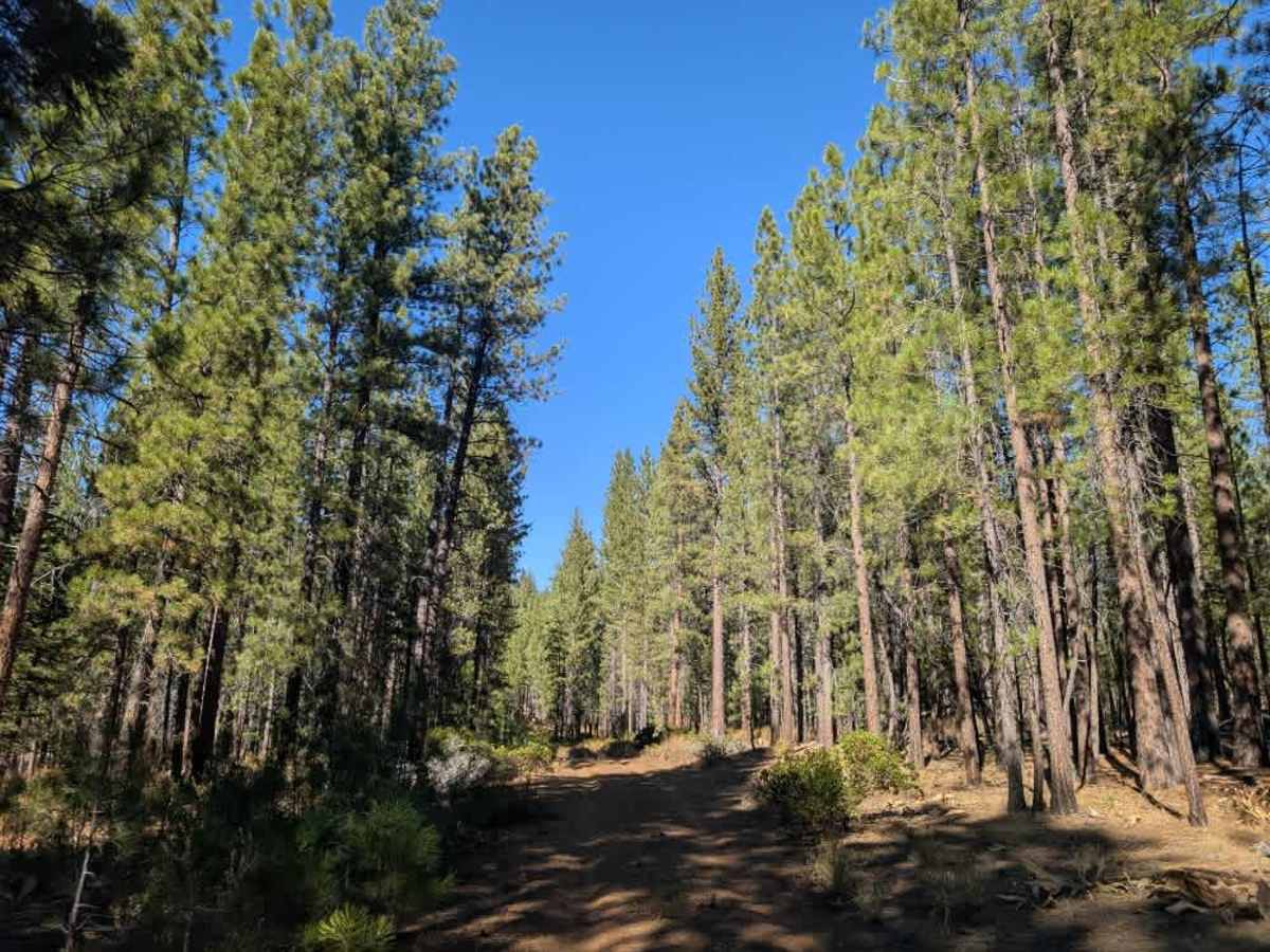
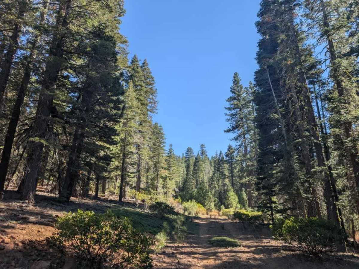
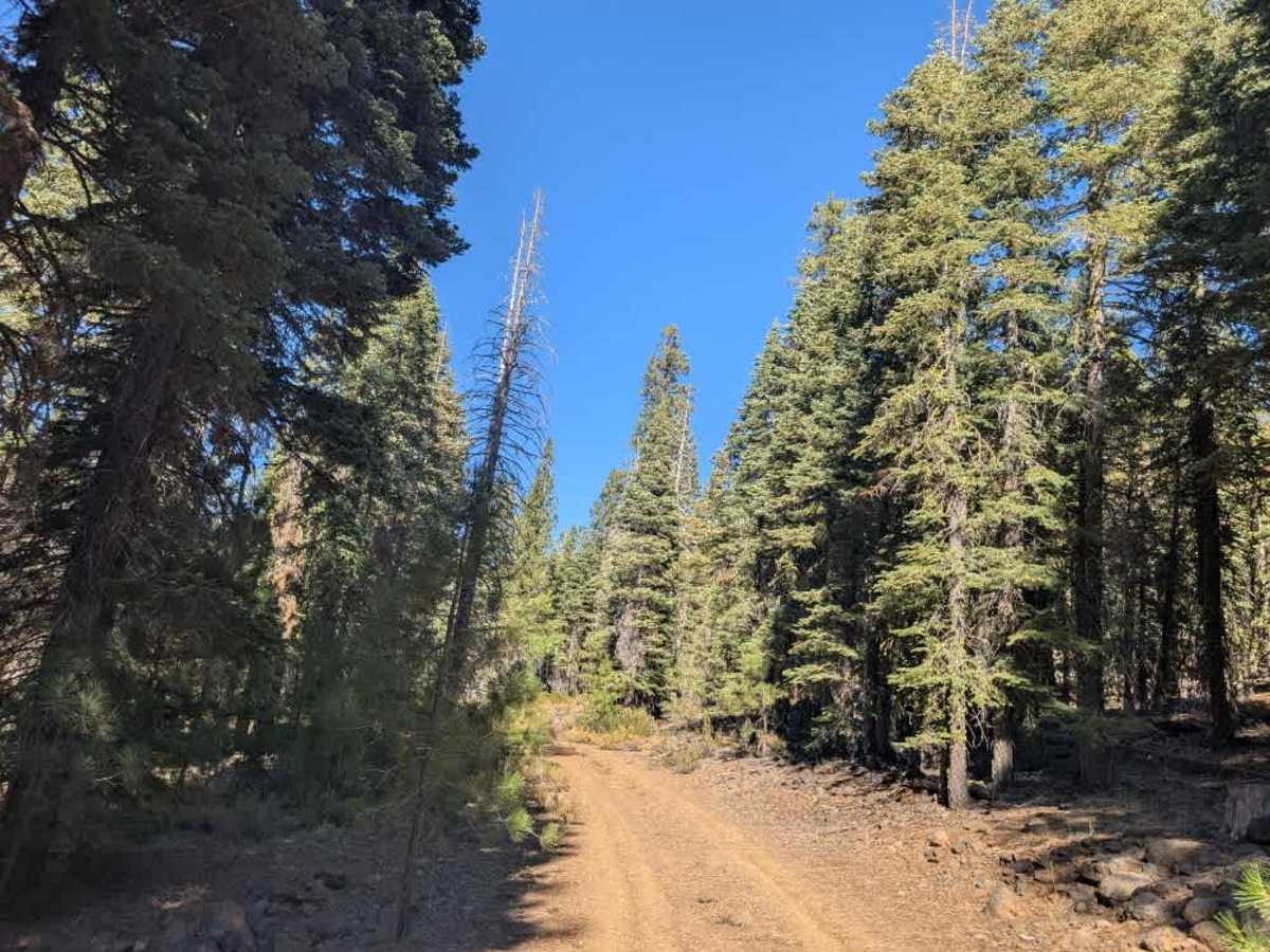
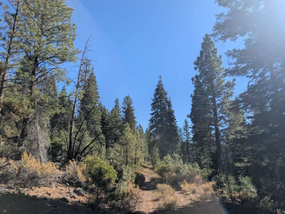
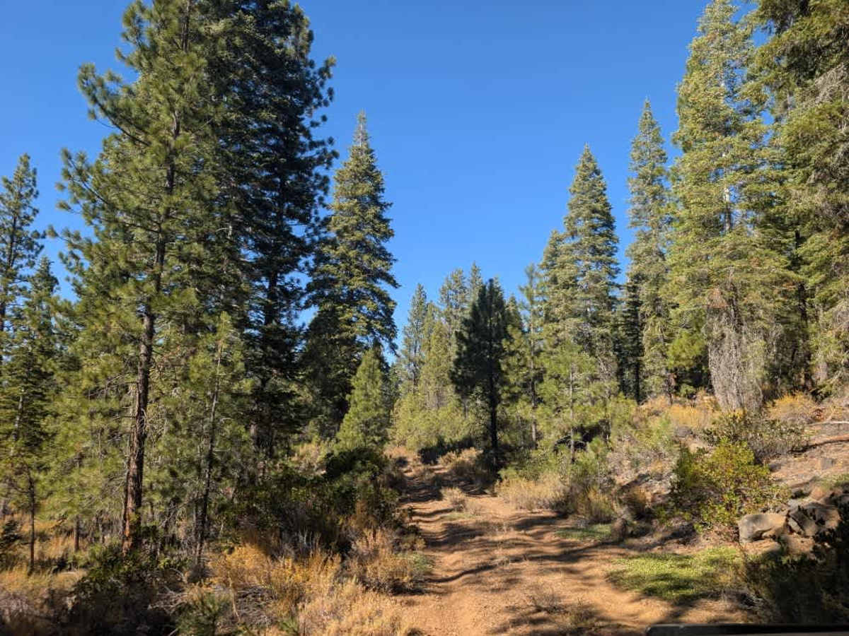
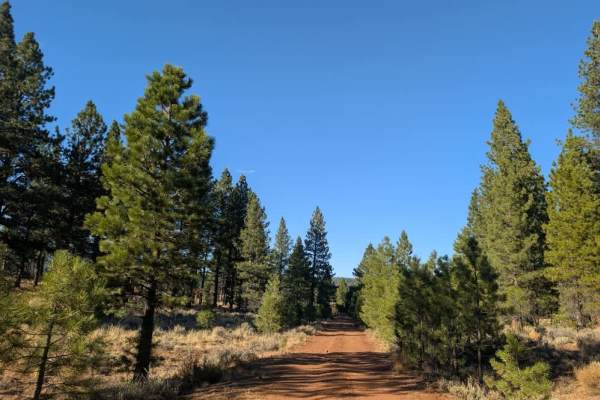
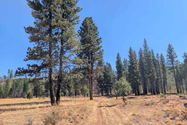
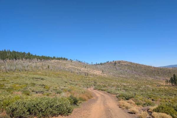
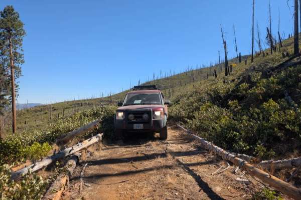
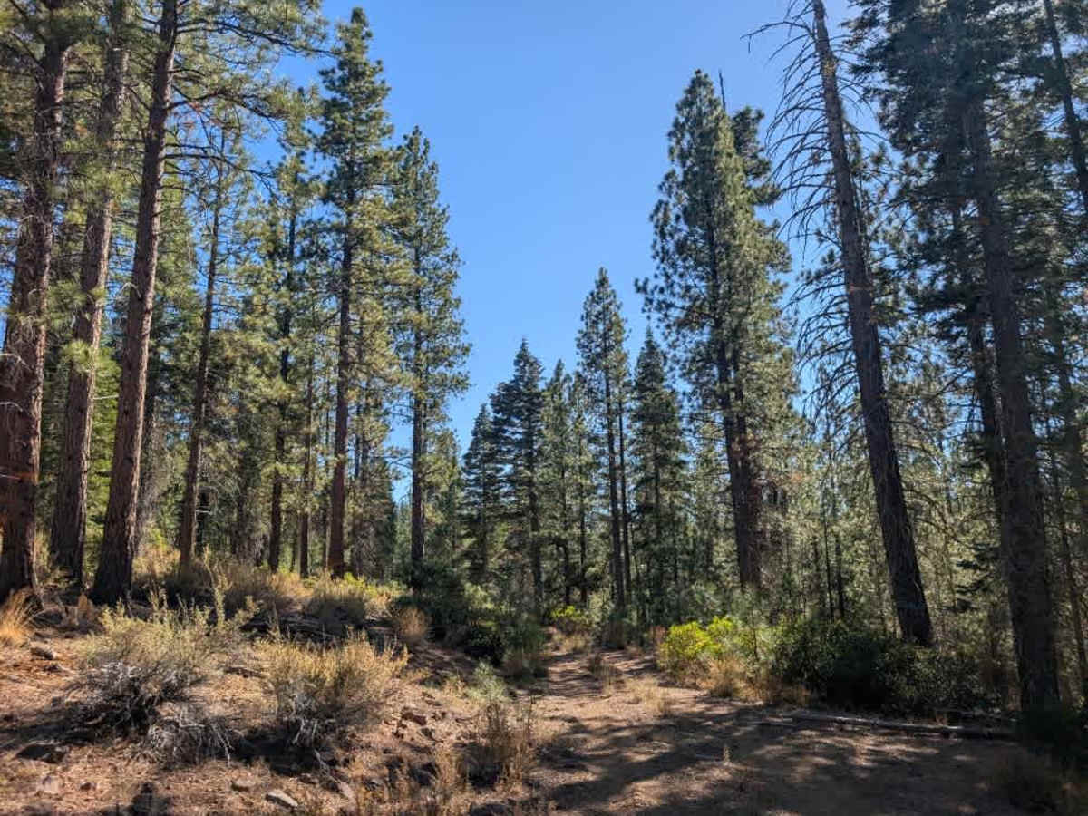
This easy, well-maintained trail winds through a greener section of forest than much of the surrounding area, making it a pleasant route to explore. The road is generally straightforward to navigate, with tall underbrush along some sections being the main obstacle. Toward the end, you’ll reach a timber sale area where logging may be taking place, so stay alert for work vehicles and follow any posted restrictions; firewood cutting is not permitted there. A gate near the end may be open or closed; it was open at the time of travel. There is also a large circular clearing near the gate that could potentially serve as a turnaround or dispersed camping area. In wet conditions, the red clay and dusty surface can become slippery. Tires may naturally follow established ruts, so drive cautiously and expect reduced traction, especially during the rainy season. Access to this trail is seasonal, allowed only from April 1 through December 25. ATVs, UTVs, Side-by-Sides, and Dirt Bikes must always have a valid California ATV Operating Permit sticker.

Photos of FS 33N94B

Difficulty

The trail is easy to navigate, with tall vegetation and occasional slippery patches being the main concerns.

Technical Rating

1

FS 33N94B Trail can be accessed by the following ride types:

  • Single Track
  • 50 Inch
  • 60 Inch
  • High Clearance
  • Full Width

FS 33N94B Map

The onX Offroad Difference

onX Offroad combines trail photos, descriptions, difficulty ratings, width restrictions, seasonality, and more in a user-friendly interface. Available on all devices, with offline access and full compatibility with CarPlay and Android Auto. Discover what you're missing today!

Open Trail Map