Pine Creek - FS 33N07

Total Miles6.9
Technical Rating
2Easy
Best TimeSpring, Summer, Fall
Trail TypeFull-Width Road
Accessible By
Open Trail Map

Trail Overview

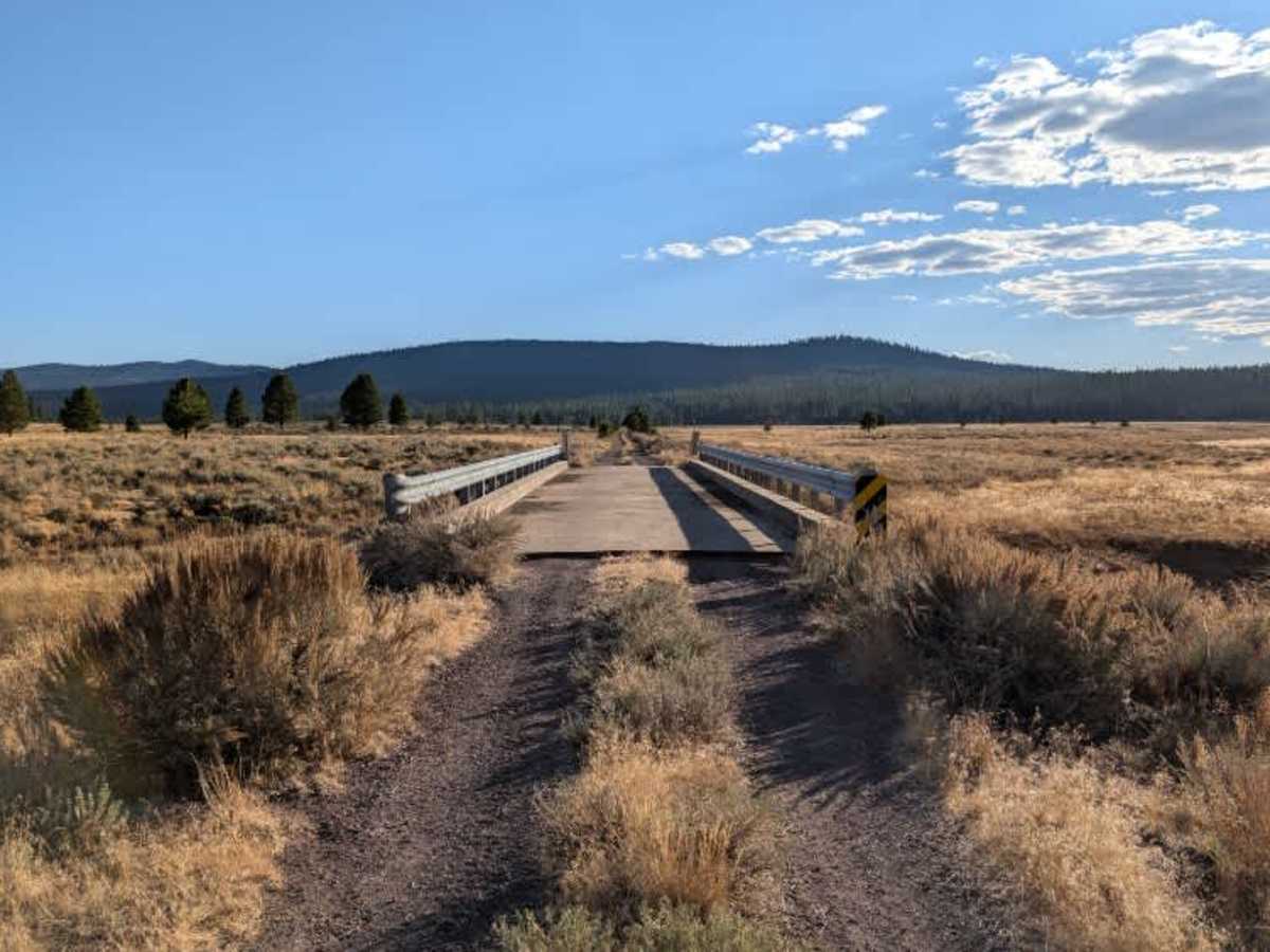
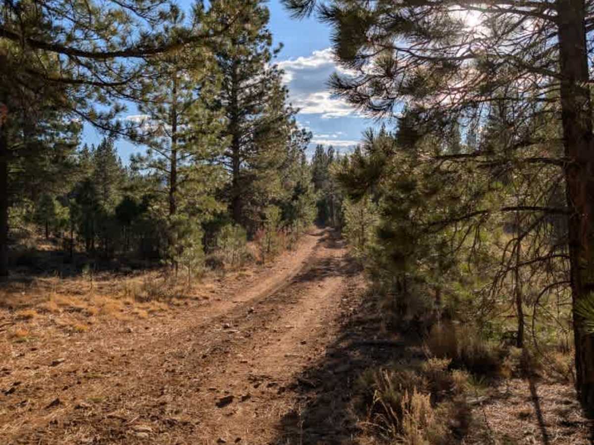
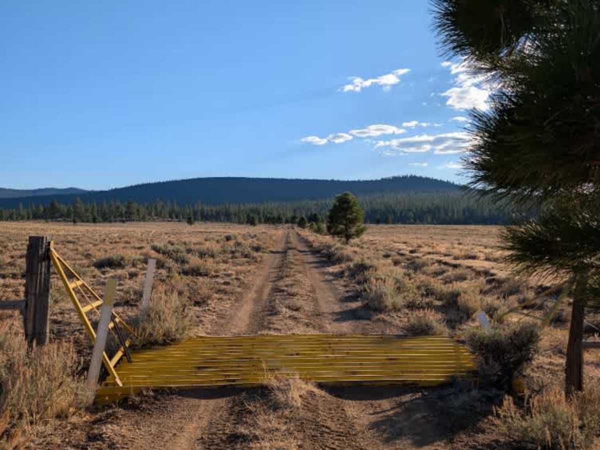
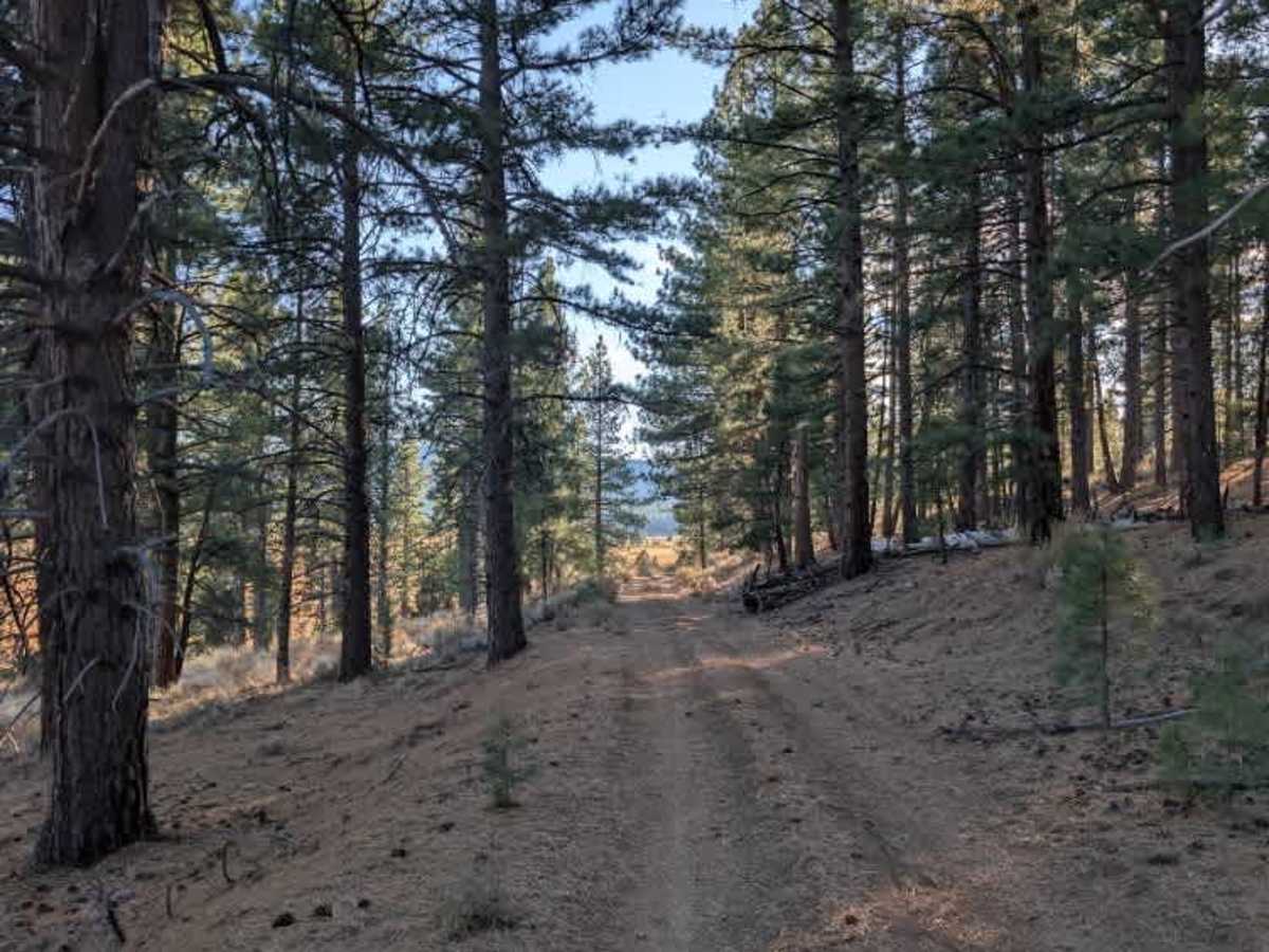
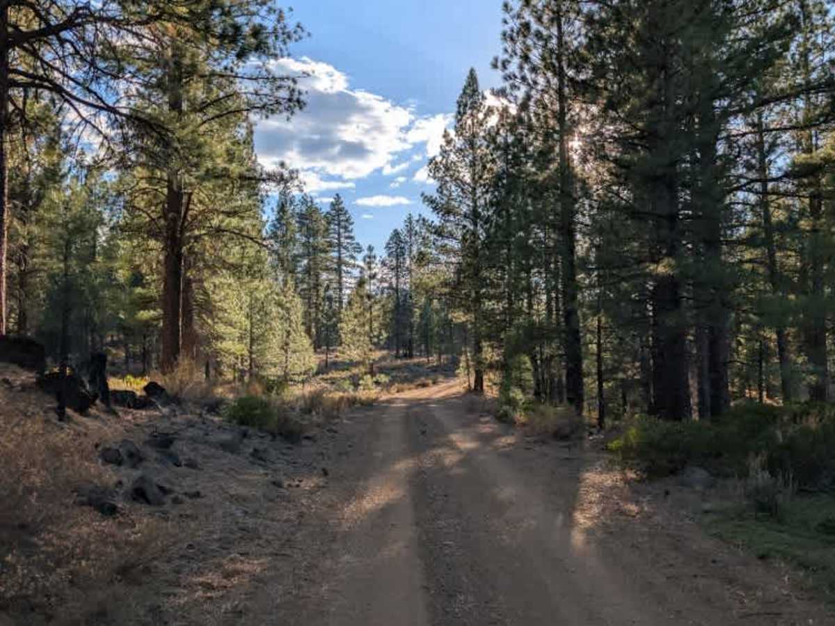
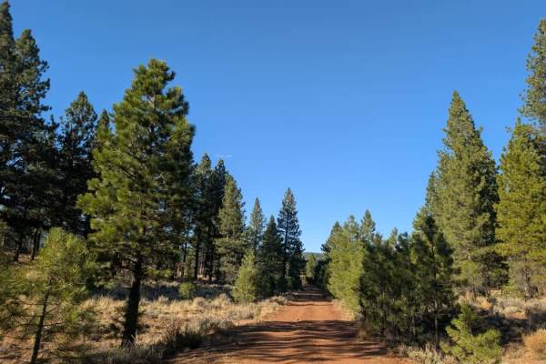
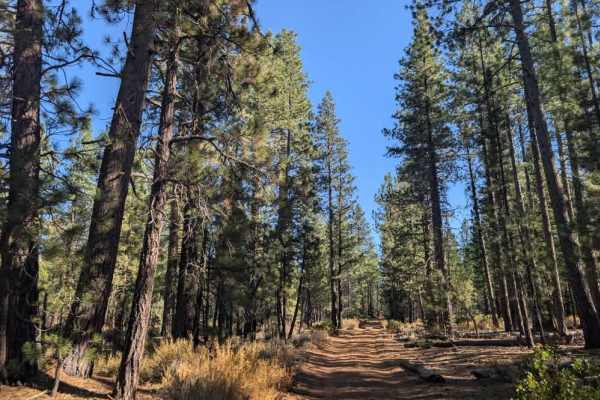
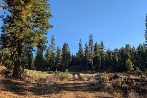
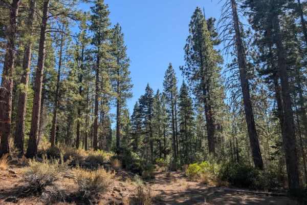
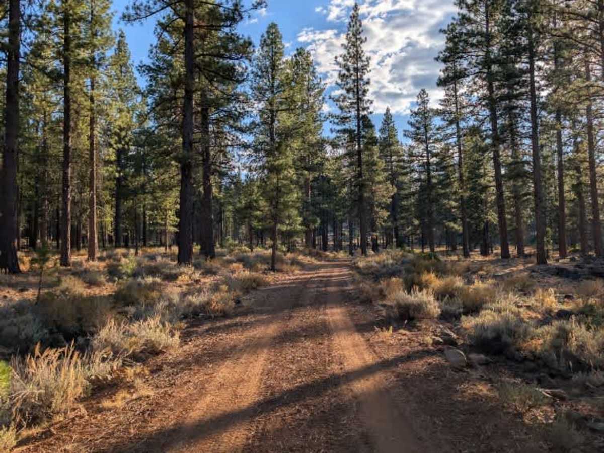
This trail provides a useful connection between the surrounding routes and Highway 45. Approaching from the south, the route begins with a rougher stretch of narrow road covered in loose rocks, so take your time through the tighter sections. The trail then emerges from the forest and crosses a bridge where erosion has washed away some of the dirt, leaving a pronounced lip at the entrance. Beyond the bridge, the route opens into a field with several cattle guards that also have sharp edges due to the surrounding soil washing away. There are minor ruts and other uneven patches along the way, so keep an eye on the road surface as you travel. ATVs, UTVs, Side-by-Sides, and Dirt Bikes must always have a valid California ATV Operating Permit sticker.

Photos of Pine Creek - FS 33N07

Difficulty

The narrow, rocky approach and uneven ground around the bridge require careful driving, especially over the eroded entrance and cattle guards.

Technical Rating

2

Pine Creek - FS 33N07 Trail can be accessed by the following ride types:

  • Single Track
  • 50 Inch
  • 60 Inch
  • High Clearance
  • Full Width

Pine Creek - FS 33N07 Map

The onX Offroad Difference

onX Offroad combines trail photos, descriptions, difficulty ratings, width restrictions, seasonality, and more in a user-friendly interface. Available on all devices, with offline access and full compatibility with CarPlay and Android Auto. Discover what you're missing today!

Open Trail Map