FS 33N53

Total Miles1.9
Technical Rating
1Easy
Best TimeSpring, Summer, Fall
Trail TypeFull-Width Road
Accessible By
Open Trail Map

Trail Overview

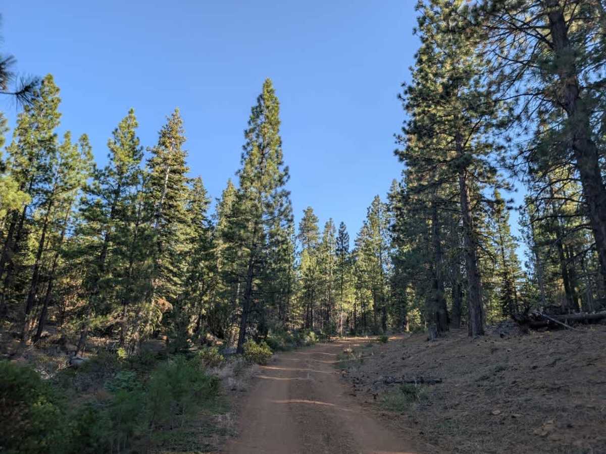
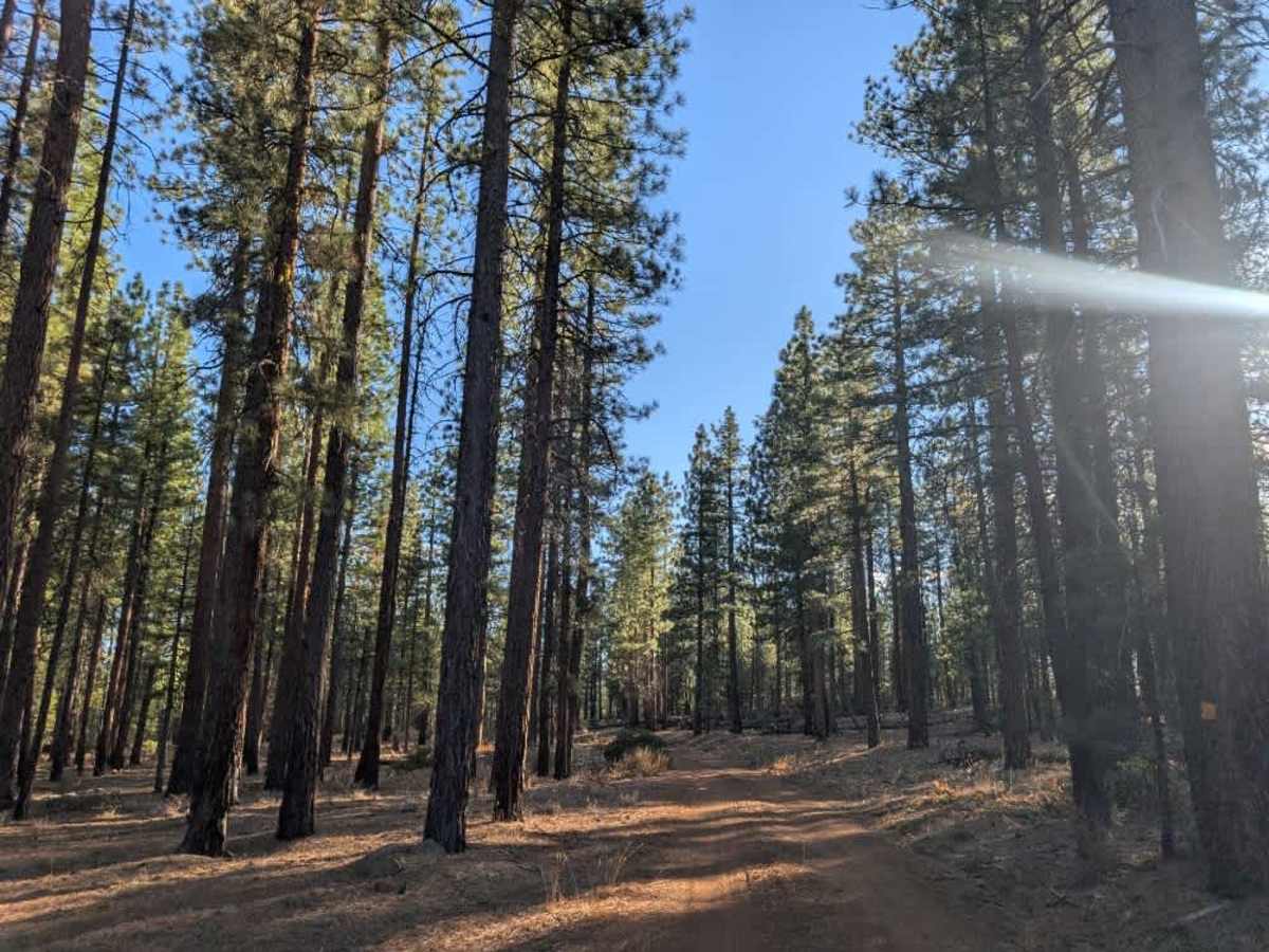
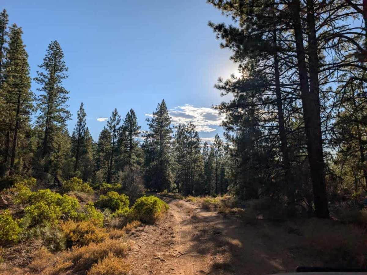
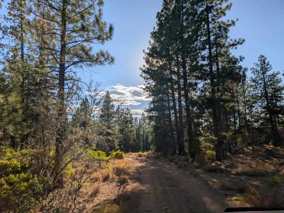
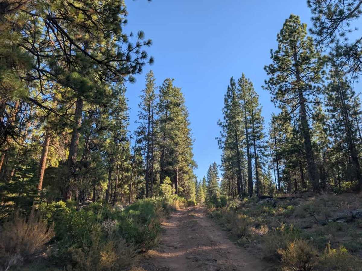
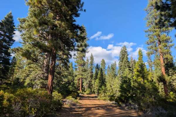
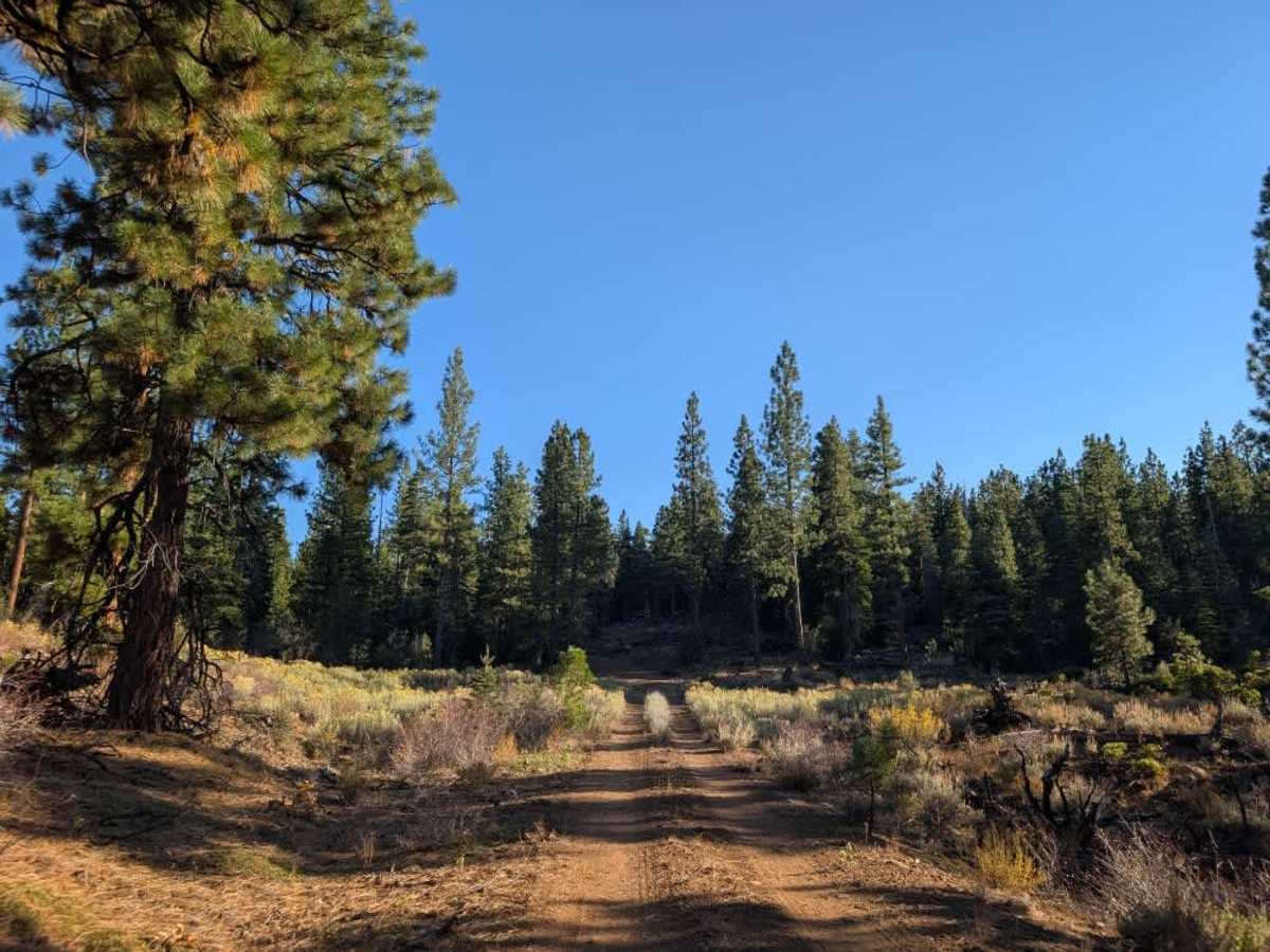
This short, rocky road branches off the 45, climbs into the mountains, briefly levels out, and descends into a beautiful, green, forested area. The route is rocky throughout, like many roads in this part of the forest, so take care with tire placement, especially around sharper rocks. The route has a few twists and turns, but nothing particularly difficult beyond the consistently rough surface. The trail eventually drops down to FS 33N93, providing a shortcut from the 45. If you’d prefer a smoother, more comfortable ride, take FS 33N53 from the 45. However, if you’re looking for something a little more adventurous, this route offers a fun alternative with lovely forest surroundings. ATVs, UTVs, Side-by-Sides, and Dirt Bikes must always have a valid California ATV Operating Permit sticker.

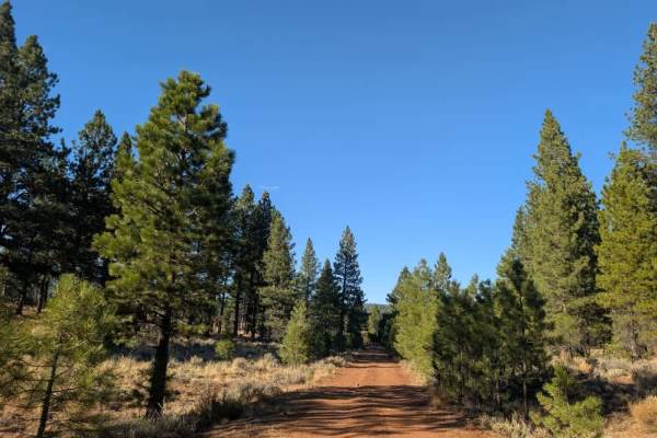
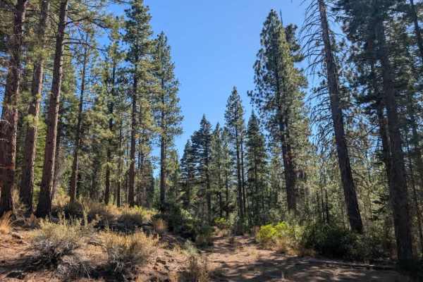
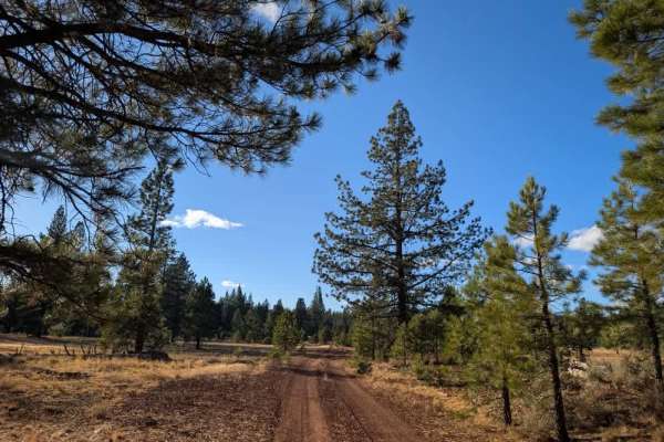
Photos of FS 33N53

Difficulty

The route is generally manageable, although the consistently rough surface makes for a slower drive.

Technical Rating

1

FS 33N53 Trail can be accessed by the following ride types:

  • Single Track
  • 50 Inch
  • 60 Inch
  • High Clearance
  • Full Width

FS 33N53 Map

The onX Offroad Difference

onX Offroad combines trail photos, descriptions, difficulty ratings, width restrictions, seasonality, and more in a user-friendly interface. Available on all devices, with offline access and full compatibility with CarPlay and Android Auto. Discover what you're missing today!

Open Trail Map