Trail Overview
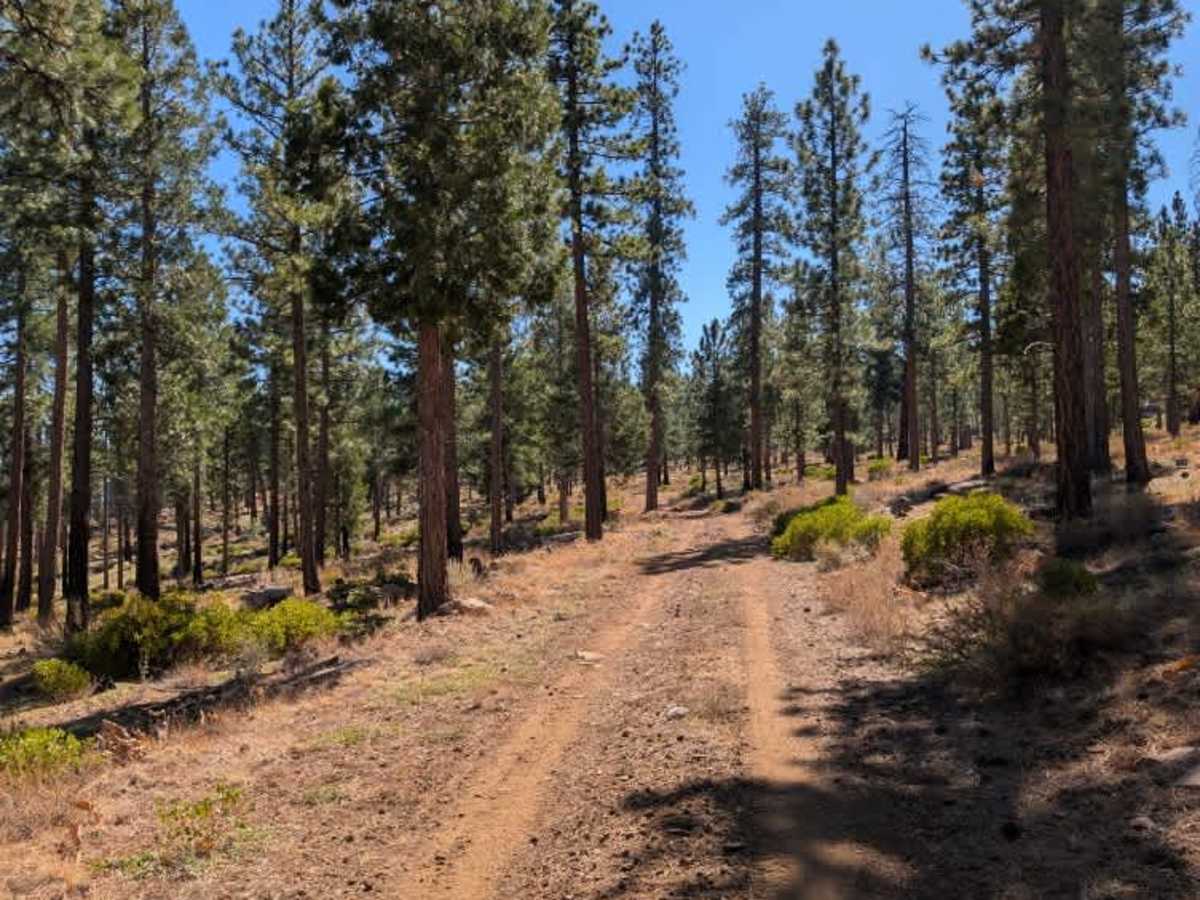
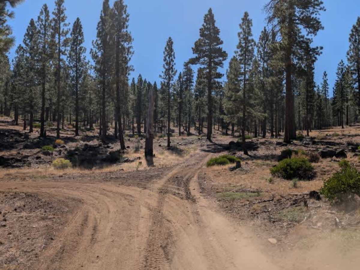
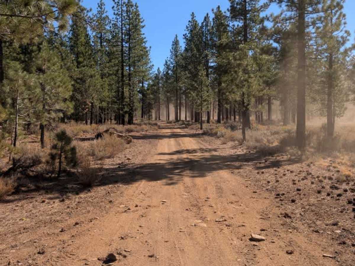
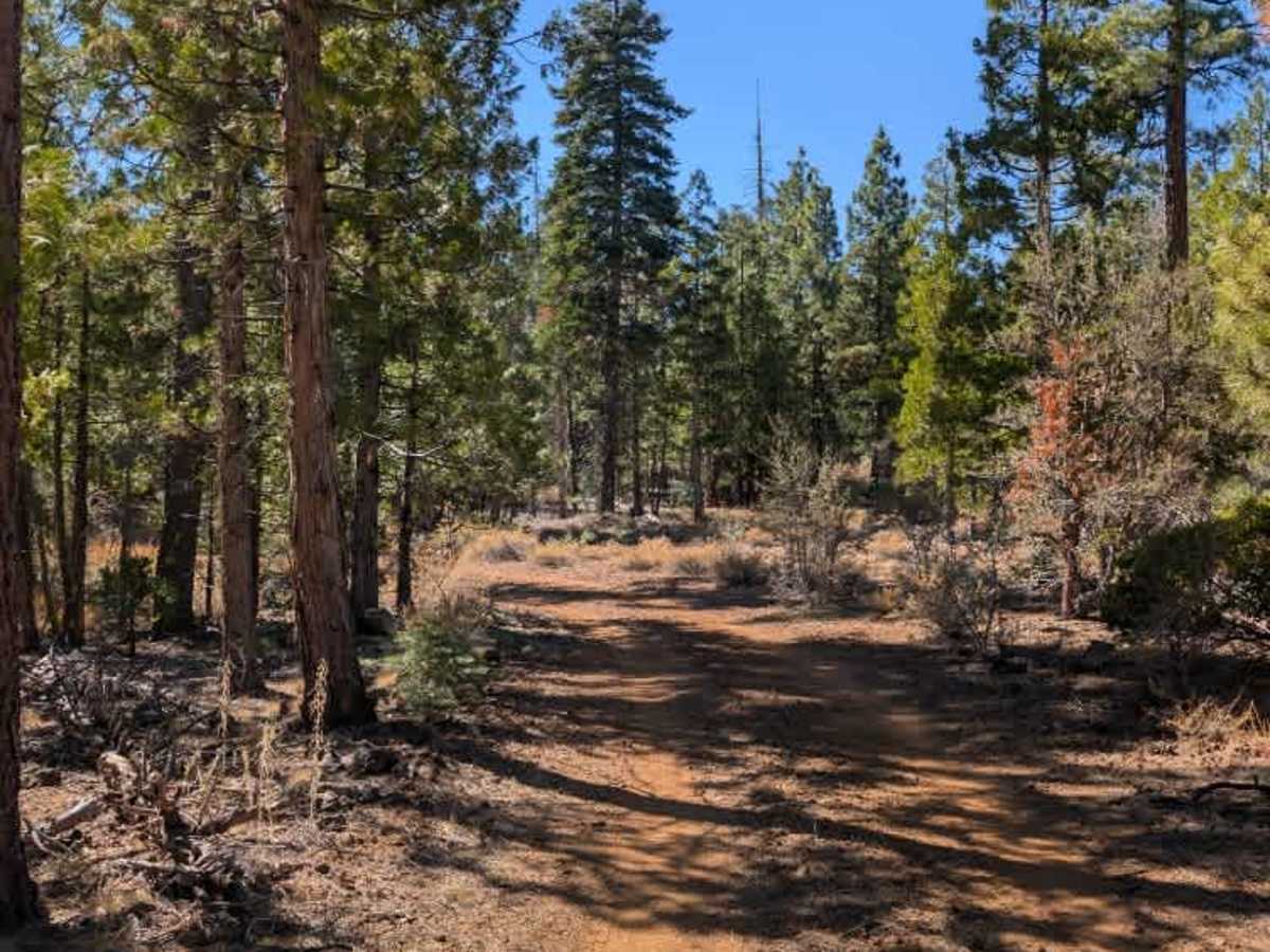
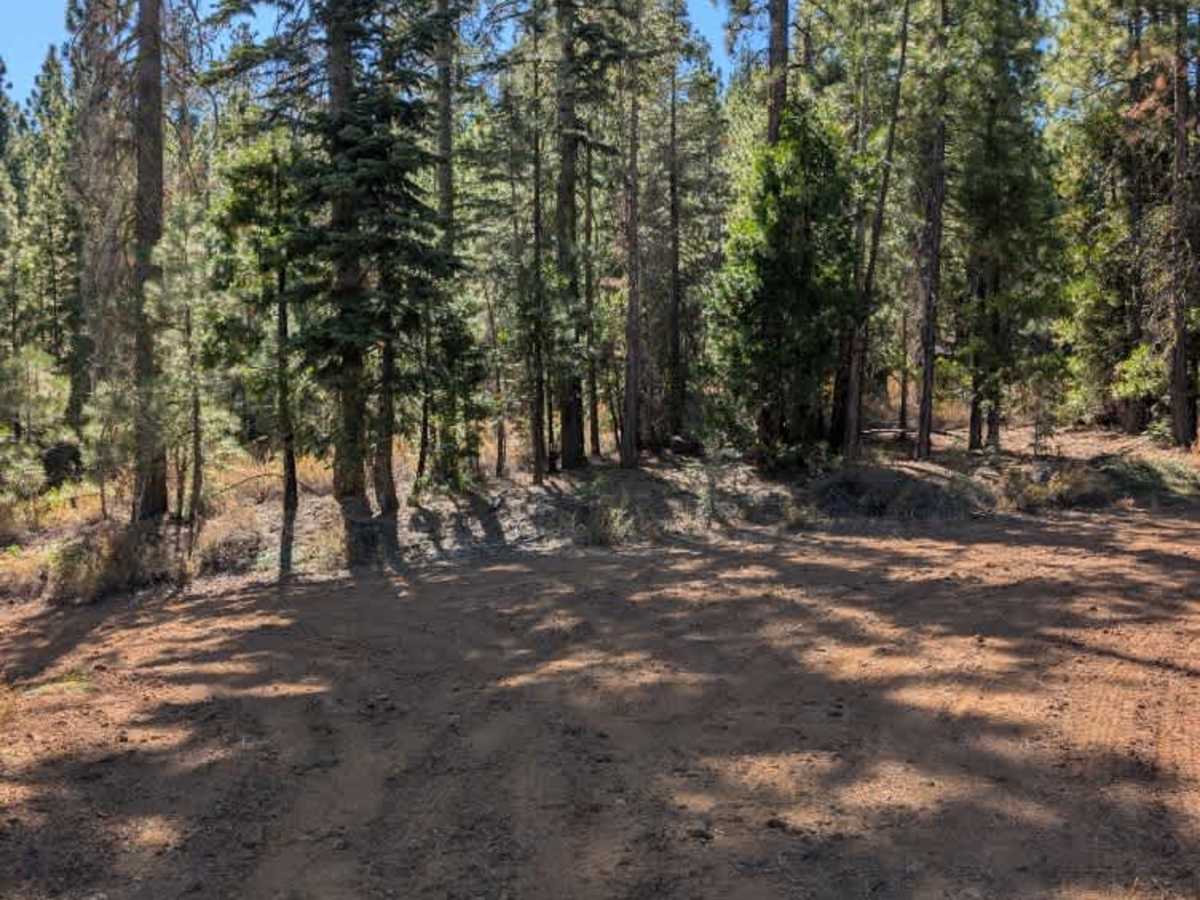
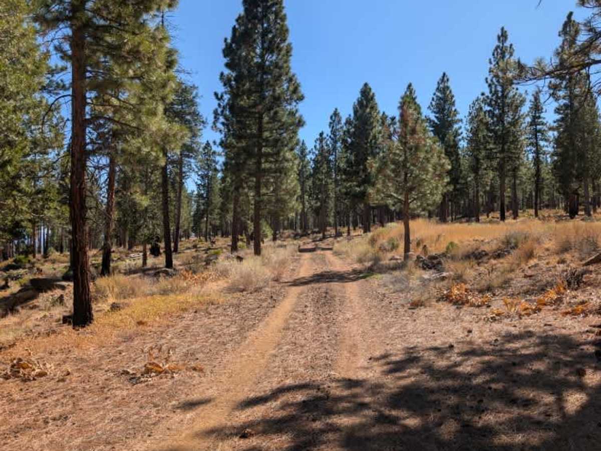
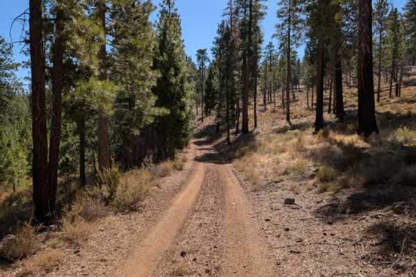
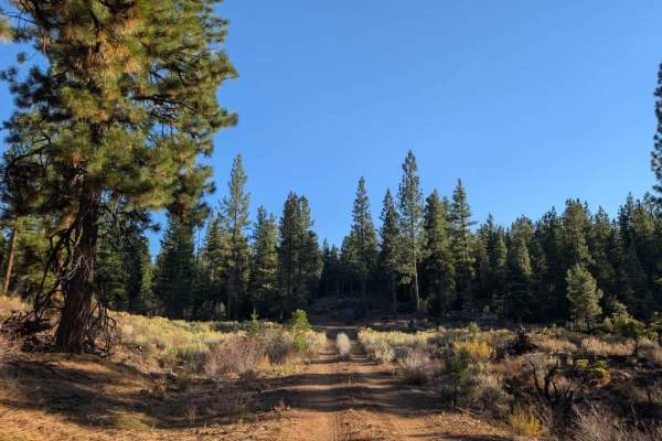
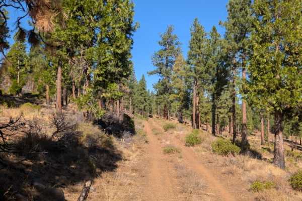
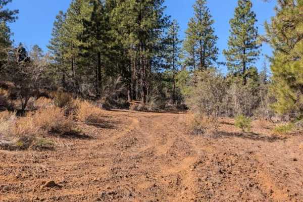
This trail connects Highway 45 to Cave Mountain (FS 33N39). The path is somewhat narrow in a few sections, but overall, it is wide enough for most vehicles to pass through comfortably. Loose rocks are scattered along the route, so a 4x4 is recommended, though not strictly necessary. The trail has no significant ruts, steep drop-offs, or major obstacles, so it’s generally straightforward to navigate. One thing to keep in mind is the amount of dust kicked up while driving, particularly in dry conditions. If traveling in a group, leave plenty of space between vehicles to maintain visibility, and be careful when stopping along the route, as lingering dust can be a lot to handle. Otherwise, this is a relatively manageable connection between the two roads. ATVs, UTVs, Side-by-Sides, and Dirt Bikes must always have a valid California ATV Operating Permit sticker.
Difficulty
The trail is generally easy to navigate, with scattered rocks, narrow sections, and reduced visibility from dust.