FS 33N60

Total Miles1.3
Technical Rating
1Easy
Best TimeSummer, Fall, Spring
Trail TypeFull-Width Road
Accessible By
Open Trail Map

Trail Overview

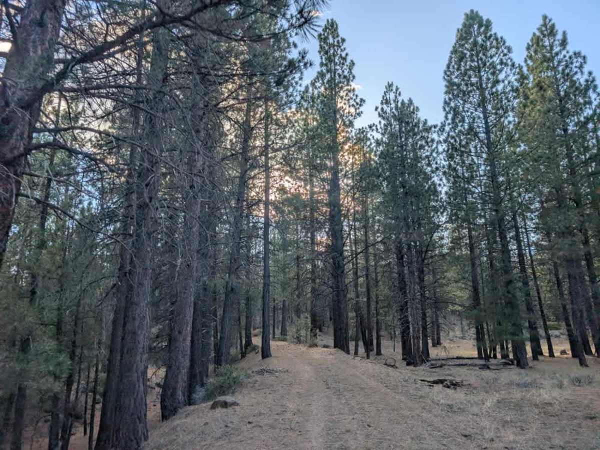
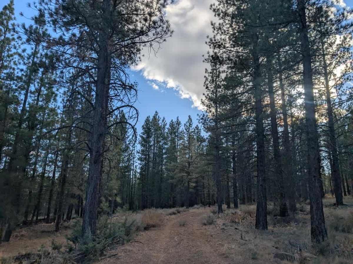
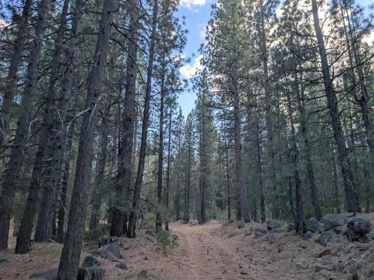
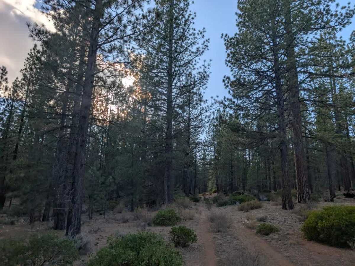
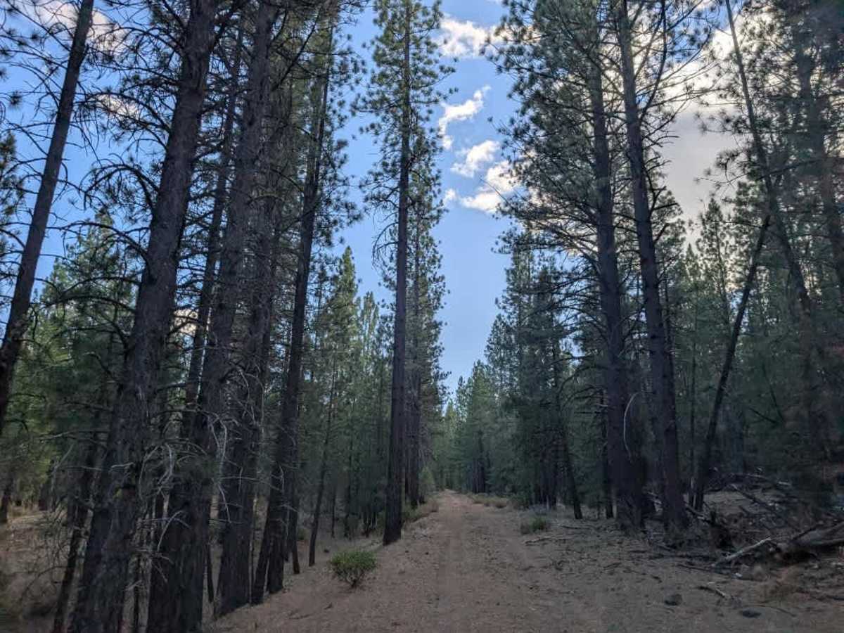
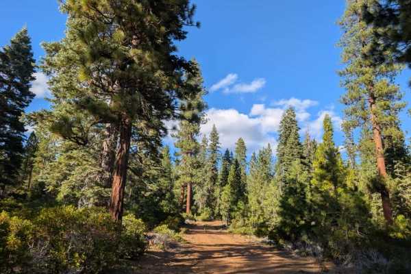
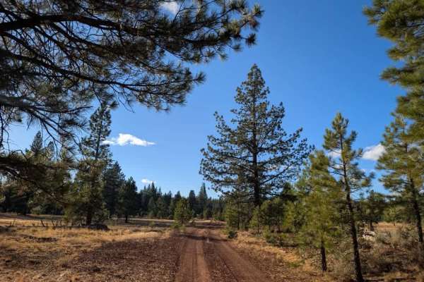
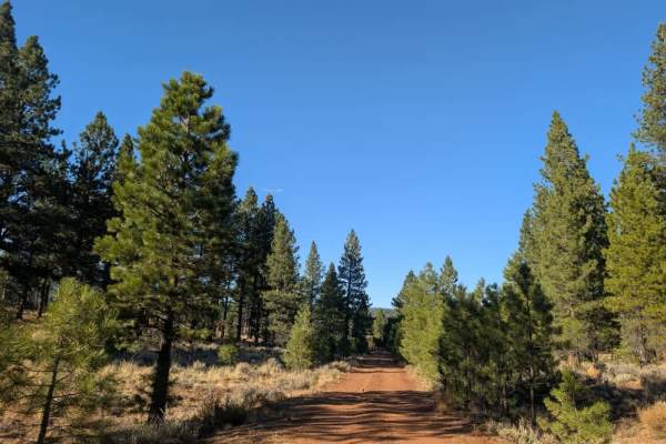
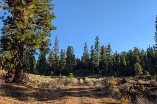
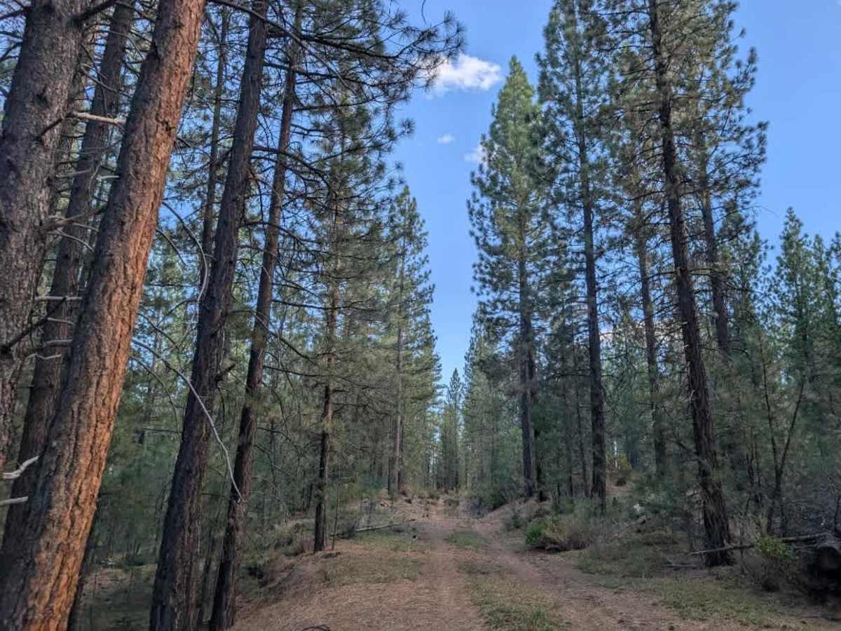
This narrow, single-lane trail winds through a beautiful forest with varied terrain along the way. Some sections have a soft pine-needle covering that makes for a smoother ride, while others narrow into rocky corridors surrounded by fallen trees and encroaching branches. Rocks are scattered across the route, and in some places you may need to move smaller rocks or carefully navigate around them. There are also sections where collapsed irrigation piping has left ditches in the road, so watch your line and take care over uneven ground. A ribbon marks an area where you need extra caution, so slow down as you approach it. At the beginning of the trail, near the intersection, a large area is suitable for dispersed camping. ATVs, UTVs, Side-by-Sides, and Dirt Bikes must always have a valid California ATV Operating Permit sticker.

Photos of FS 33N60

Difficulty

The narrow trail has uneven terrain, scattered rocks, fallen trees, and ditches that require careful navigation.

Technical Rating

1

FS 33N60 Trail can be accessed by the following ride types:

  • Single Track
  • 50 Inch
  • 60 Inch
  • High Clearance
  • Full Width

FS 33N60 Map

The onX Offroad Difference

onX Offroad combines trail photos, descriptions, difficulty ratings, width restrictions, seasonality, and more in a user-friendly interface. Available on all devices, with offline access and full compatibility with CarPlay and Android Auto. Discover what you're missing today!

Open Trail Map