FS 33N50

Total Miles0.7
Technical Rating
1Easy
Best TimeSpring, Fall, Summer
Trail TypeFull-Width Road
Accessible By
Open Trail Map

Trail Overview

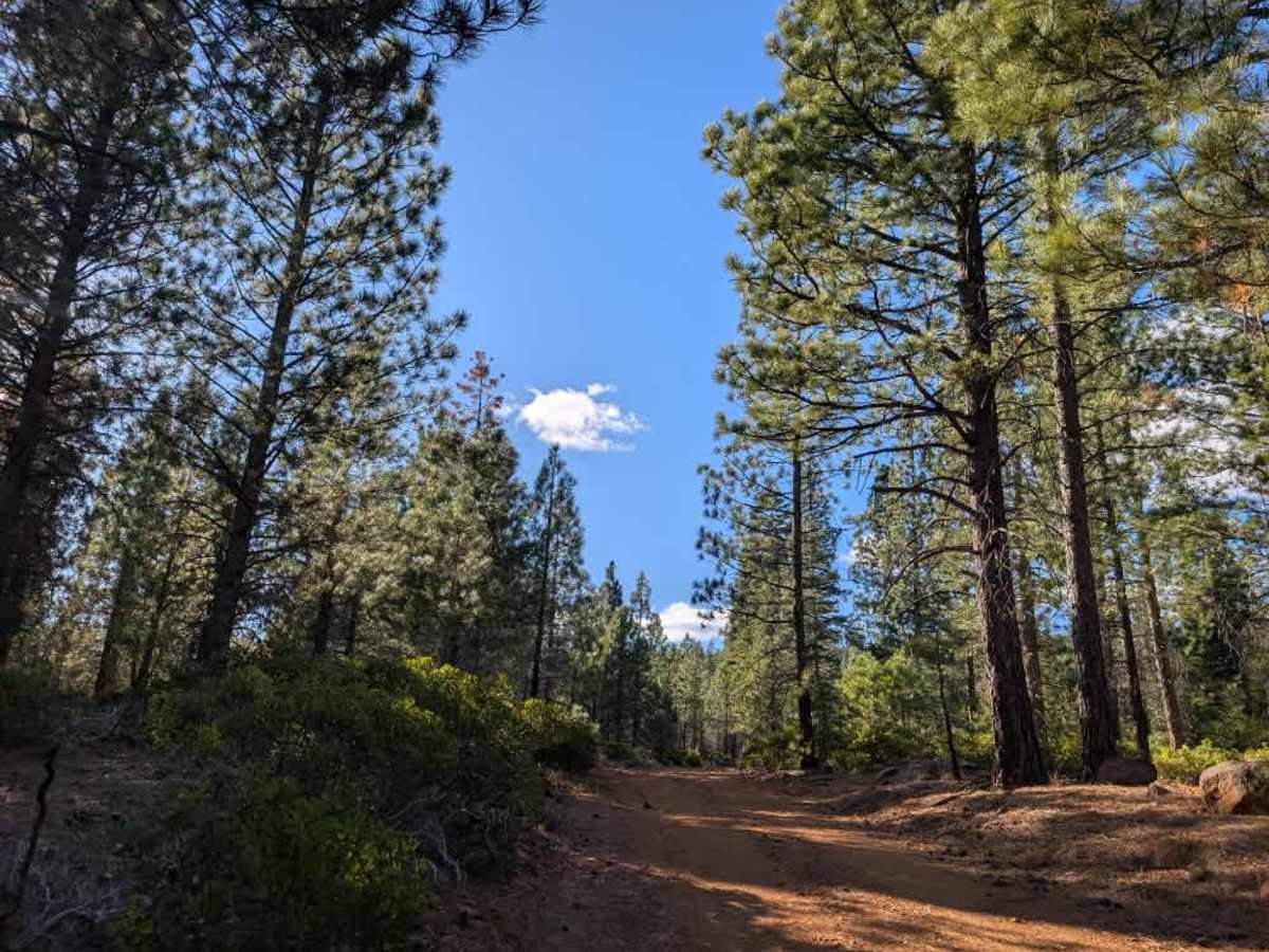
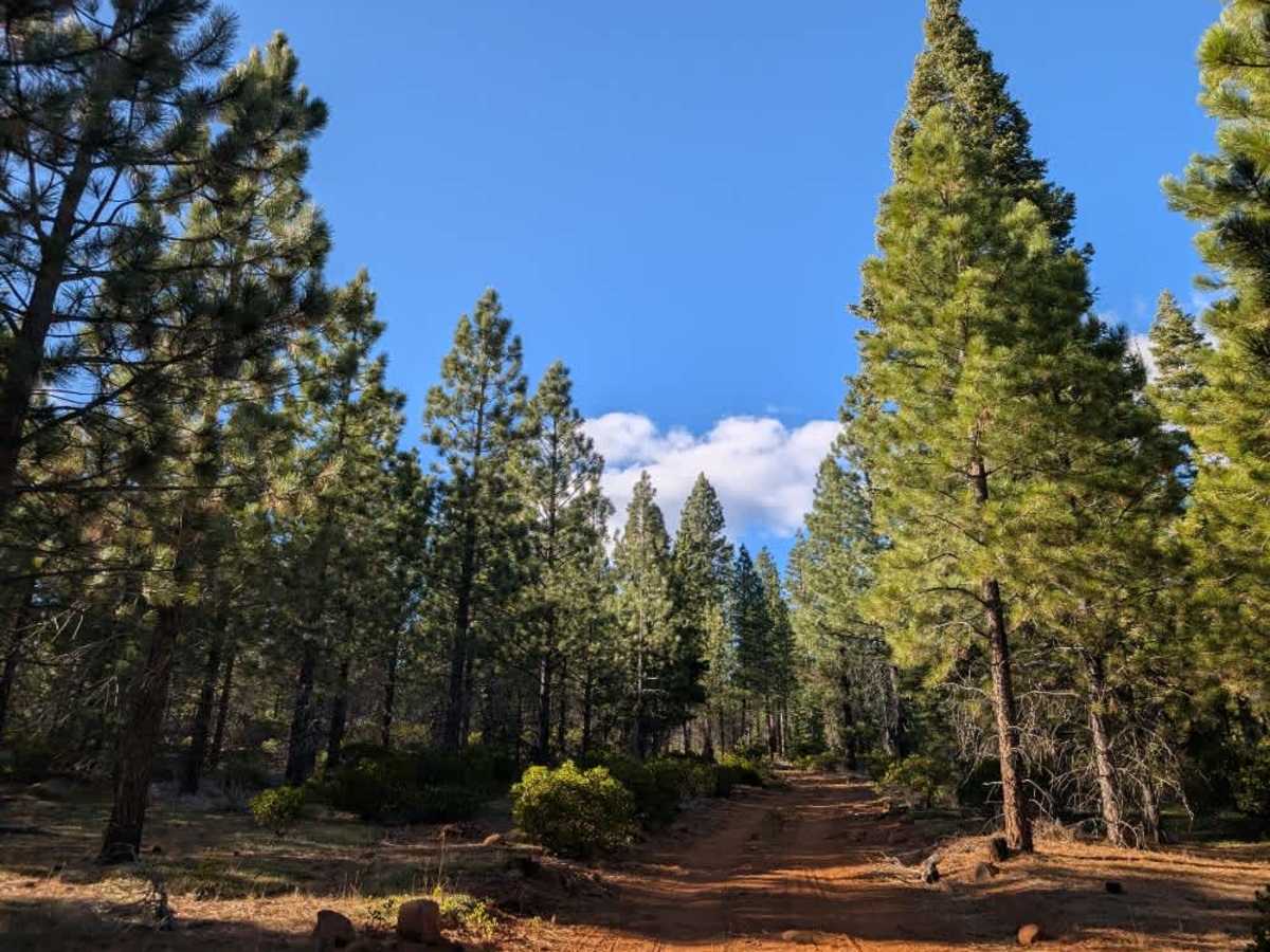
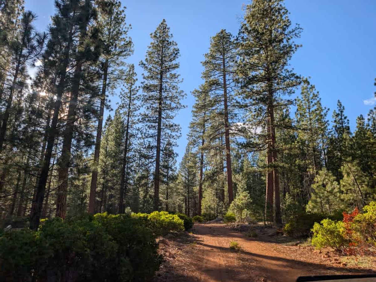
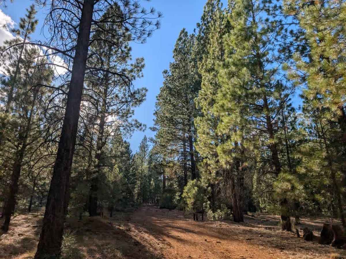
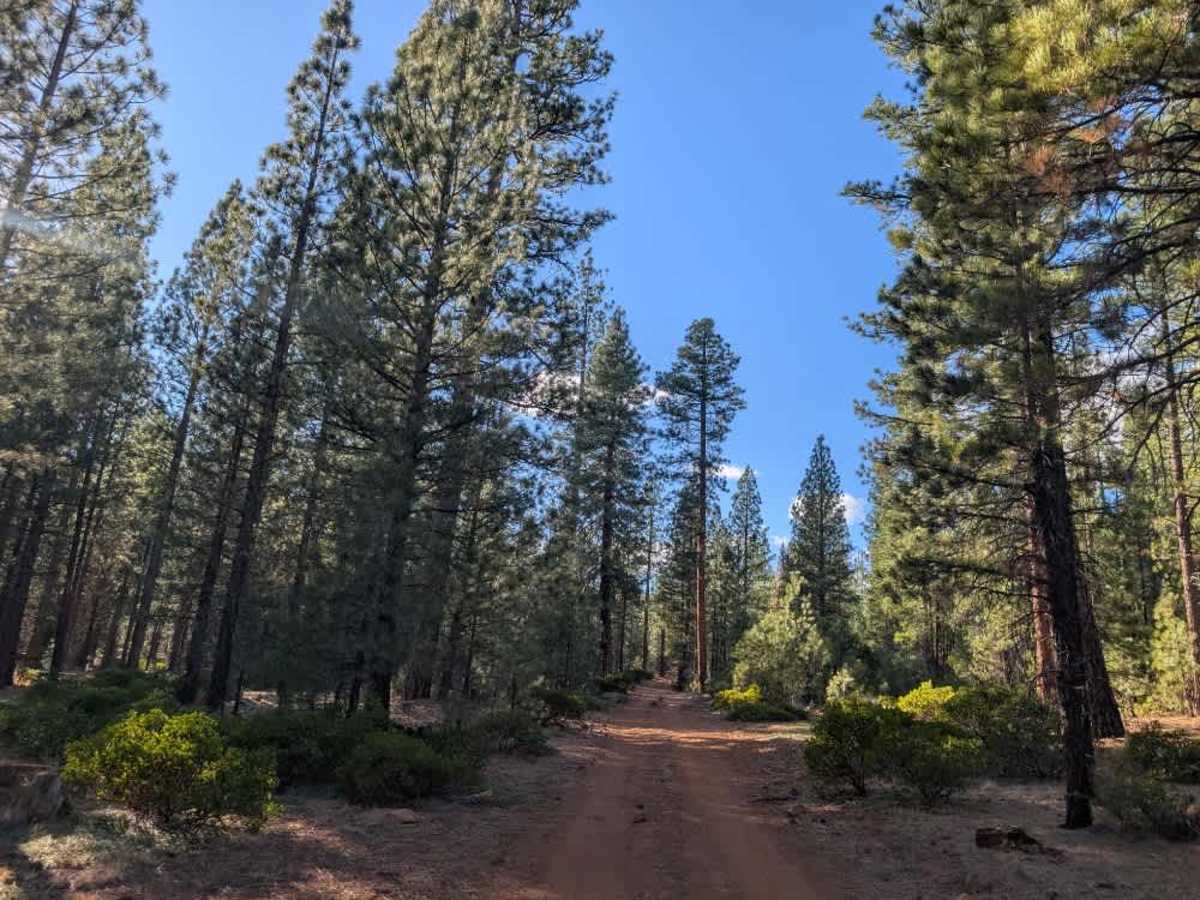
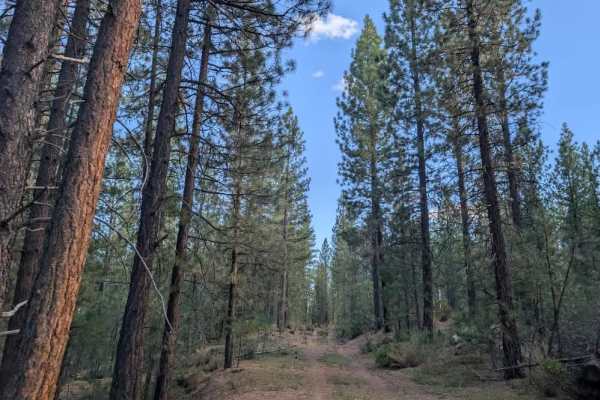
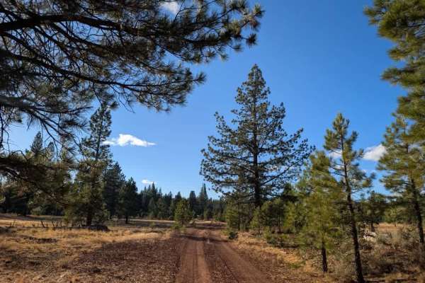
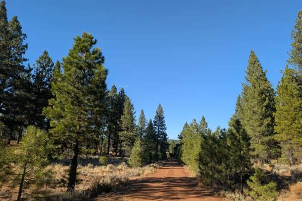
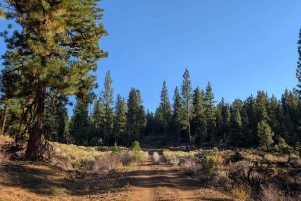
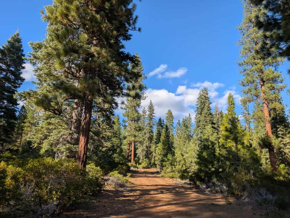
This short trail climbs into the mountain along a dusty red surface made up of silty sand and rocks. As the road rounds a corner, it appears to continue, but a large fallen tree completely blocks the route, and no established path goes around or through it. The trail ends here, so do not try to push through the vegetation or navigate around the tree. However, another route branches left and climbs farther up the mountainside, connecting to the surrounding trail network and offering a useful shortcut to other routes. ATVs, UTVs, Side-by-Sides, and Dirt Bikes must always have a valid California ATV Operating Permit sticker.

Photos of FS 33N50

Difficulty

The dusty, rocky road is generally manageable, but the fallen tree prevents further travel.

Technical Rating

1

FS 33N50 Trail can be accessed by the following ride types:

  • Single Track
  • 50 Inch
  • 60 Inch
  • High Clearance
  • Full Width

FS 33N50 Map

The onX Offroad Difference

onX Offroad combines trail photos, descriptions, difficulty ratings, width restrictions, seasonality, and more in a user-friendly interface. Available on all devices, with offline access and full compatibility with CarPlay and Android Auto. Discover what you're missing today!

Open Trail Map