Trail Overview
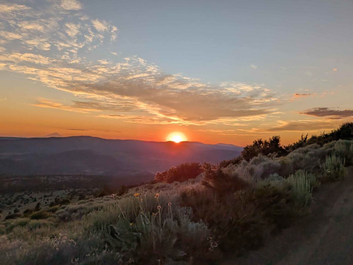
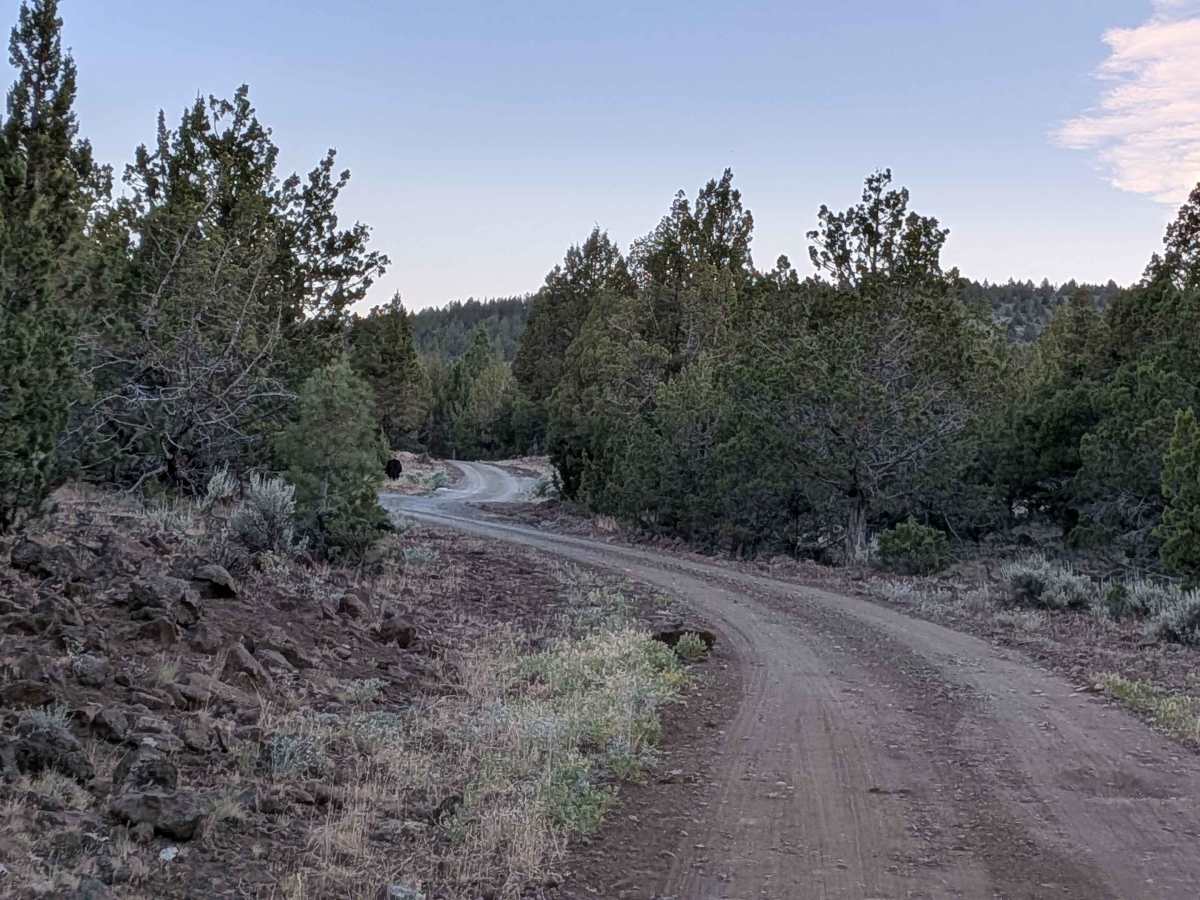
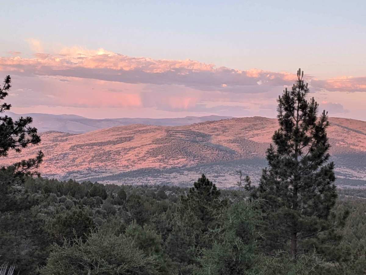
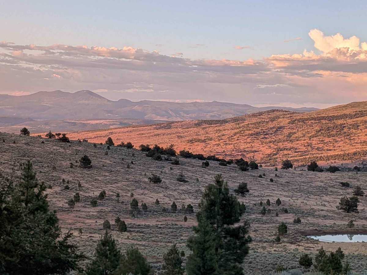
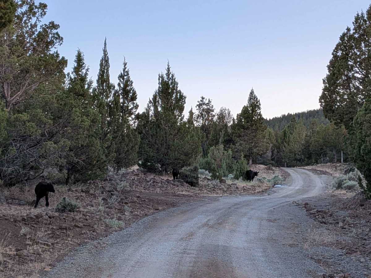
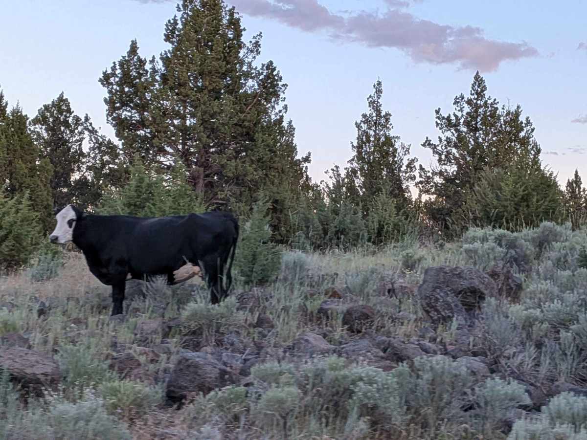
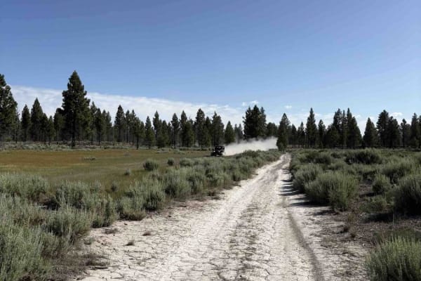
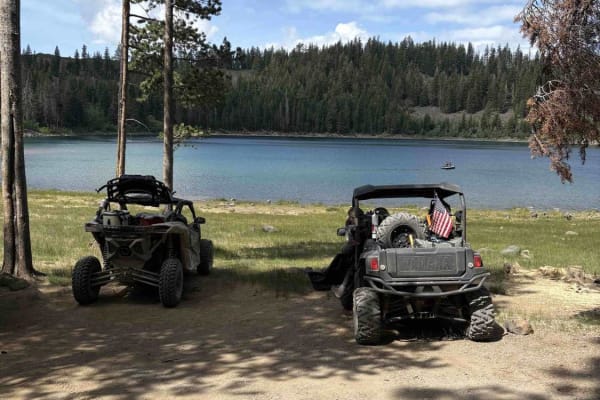
This trail begins just off Highway 395 south of the village of Likely, starting on BLM land before transitioning in and out of Modoc National Forest. The first stretch is a recently graded dirt road with scattered loose and embedded rocks, surrounded by sagebrush and stands of pine. After about three and a half miles, the road begins to narrow, but the scenery opens up with spectacular views as the route climbs steadily. The trail ultimately tops out at the summit of Likely Mountain at 7,375 feet, offering 360-degree vistas across the forest and surrounding high desert.
Difficulty
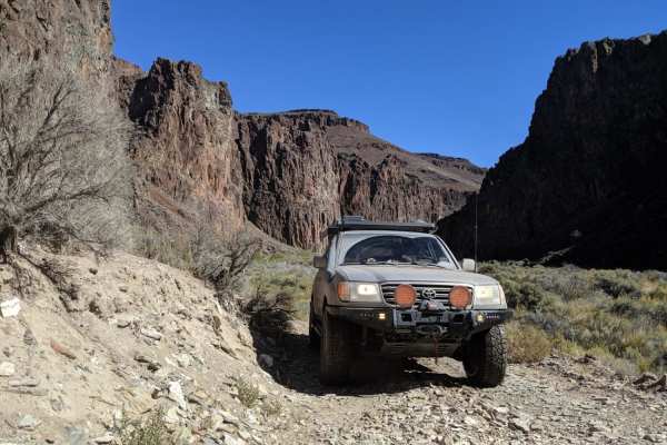
This trail is suitable for high-clearance vehicles, and 4x4 is recommended for peace of mind. Drivers can expect uneven surfaces, small rock patches, potholes, and narrow sections, but nothing highly technical. The steady climb to the summit makes it more challenging than a basic dirt road, but still accessible to most drivers with off-road experience.
History
Mount Likely, California, is a town in Modoc County, located near the South Fork of the Pit River. It was originally called South Fork, but the name was changed to Likely, likely in reference to the town's location near the river. The town itself was established during the California Gold Rush era.