Trail Overview
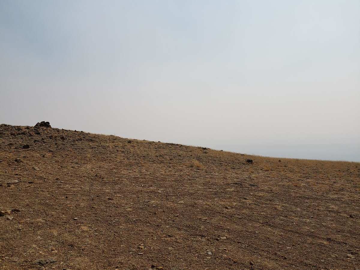
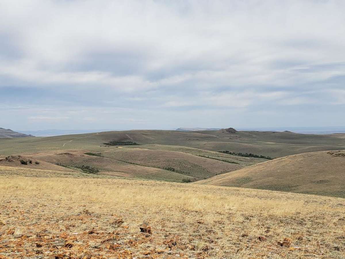
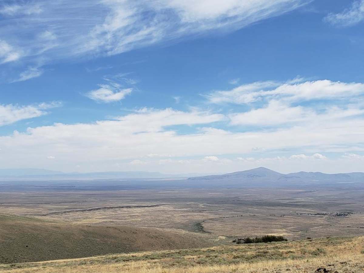
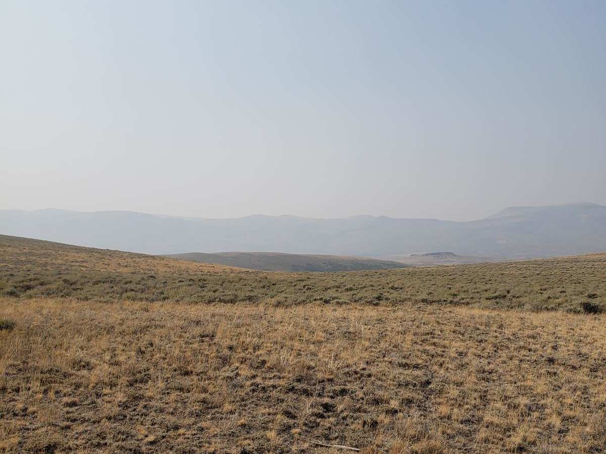
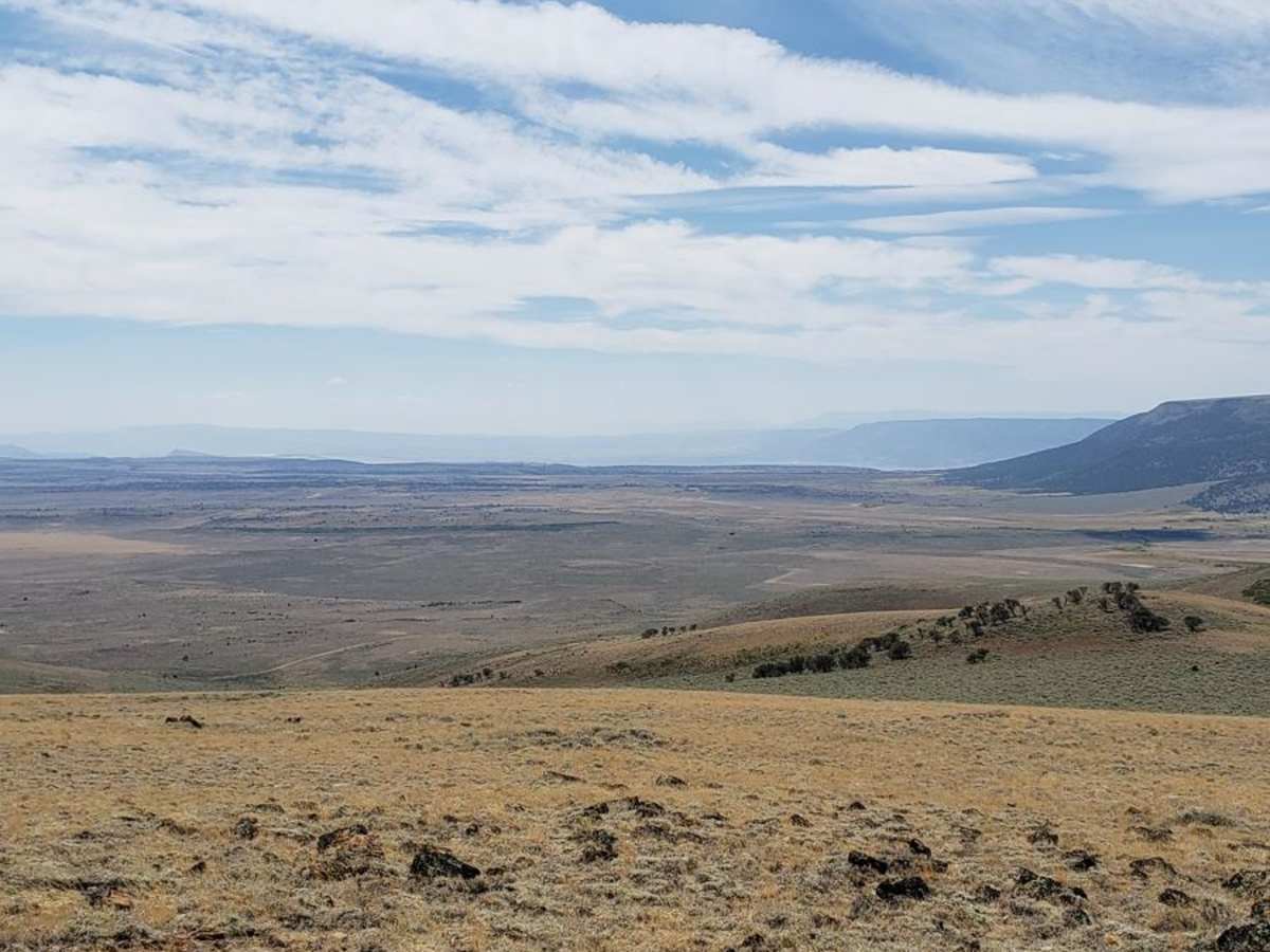
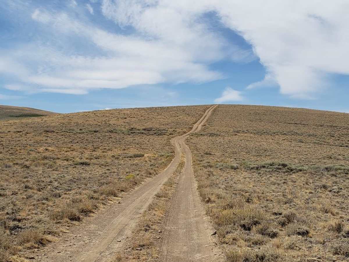
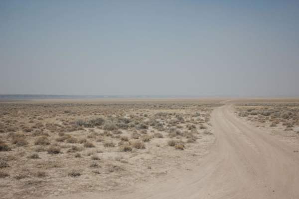
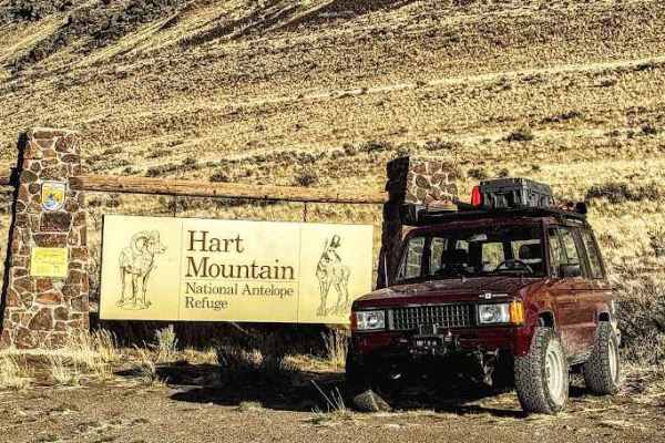
Skyline Drive Trail is a scenic, moderately challenging overland route designed for high-clearance four-wheel-drive vehicles seeking sweeping views across Oregon's remote Hart Mountain National Antelope Refuge. This approximately eight-mile unmaintained trail climbs from Lookout Point at 6,184 feet up into high-altitude plains, reaching a maximum elevation of 7,157 feet, where travelers can enjoy stunning 360-degree vistas of the surrounding desert basin. The trail features a mixture of dirt, loose gravel, and rocky sections that require careful line selection, making a high-clearance four-wheel-drive vehicle or capable SxSs highly recommended. While the route is generally straightforward when accessed from Blue Sky Road, the terrain demands attention as it traverses steep inclines and uneven surfaces through this pristine, high-desert wilderness.
The trail is typically open seasonally from mid-July through mid-December, though winter weather and snowpack can easily extend closures at these high elevations. Those looking for a more technical challenge can access or exit the route via Barnhardy Road, which introduces steep, rutted climbs, loose rocky obstacles, and seasonal water crossings. The area is home to diverse wildlife including pronghorn antelope, bighorn sheep, and sage-grouse, making wildlife viewing a primary highlight of the trip. Plan for a self-sufficient journey with plenty of fuel and water, as there are no services nearby, and be prepared for rapid weather shifts while navigating this spectacular segment of the Warner Wetlands region.
Difficulty
This trail is relatively easy, but there are some rocky sections and some steep inclines. If you decide to enter or exit using Barnhardy, the trail becomes much more difficult due to some loose rocky and rutted climbs.

 Offroad