
Beginner Off-Road Trails
Near Pigeon Forge, Tennessee
Explore All Beginner Trails Near Pigeon Forge, Tennessee
Beginner Off-Road Trails Near Pigeon Forge, Tennessee
Discover the best beginner-friendly off-road trails near you. These easier, lower-rated trails are a great place to start — browse trail maps, check difficulty ratings, and find your next adventure.
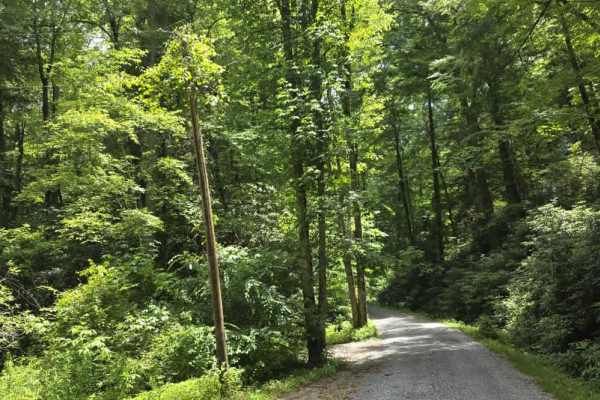
Little Greenbrier Road
Little Greenbrier Road is an easy gravel trail that offers a peaceful drive through a historic section of the Great Smoky Mountains. The route is primarily a single-lane road and begins with signage advising that passing opportunities are very limited and that vehicles towing trailers are prohibited...
Learn more about Little Greenbrier Road
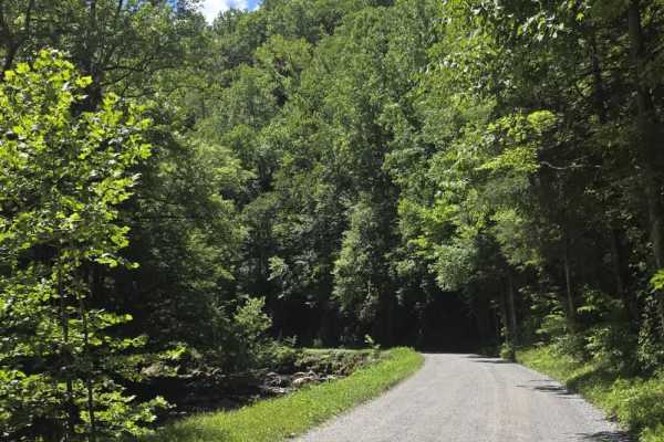
Upper Tremont Road
Upper Tremont Road is an easy gravel route that follows the scenic Middle Prong Little River through Great Smoky Mountains National Park. The well-maintained road offers a relaxing drive with gentle grades and beautiful river views for much of its length. Numerous pull-off areas provide opportunitie...
Learn more about Upper Tremont Road
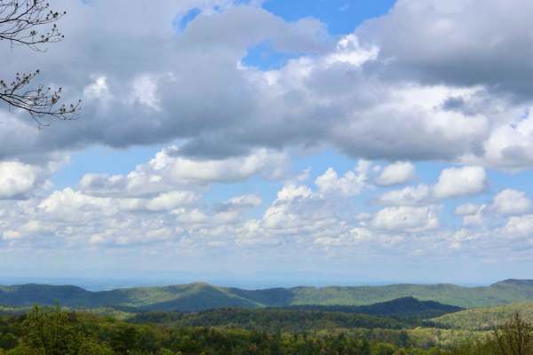
Rich Mountain Road
Rich Mountain Road is 6.6 miles and runs through the Smoky Mountain National Park and heads North out of the park. The trail is composed of loose gravel and has several twists and turns up and down the mountain. It is one way, but watch for State Park vehicles in addition to animals on the trail.
Learn more about Rich Mountain Road
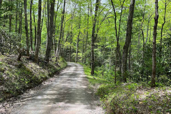
Parson Branch Road
Parson Branch is a full gravel, one-way, scenic route that leads through the Smoky Mountains. The road is maintained, however, you may find the occasional tree down after heavy storms. This is usually not a problem. There are also many shallow water crossings, all less than 1ft deep. 4WD is not need...
Learn more about Parson Branch Road
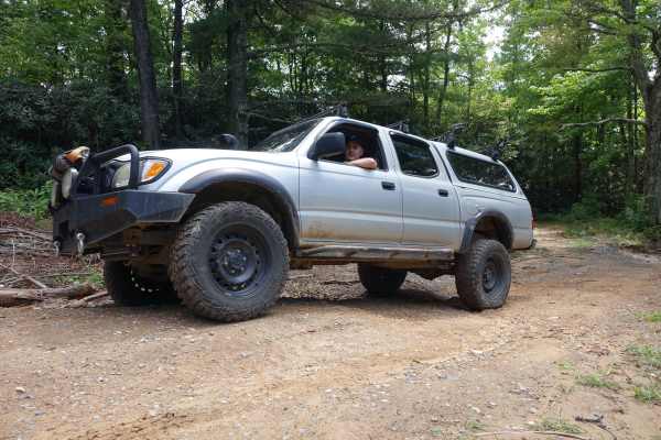
Hall Top Road
Hall Top climbs 1,500 feet over the five-mile route from the rhododendron shaded valley to the rocky peak above. The majority of the route is maintained, but some of the steeper sections are rocky and require a driver to slow down a bit or endure the bumpy ride. At the top, you'll find a fire tower ...
Learn more about Hall Top Road
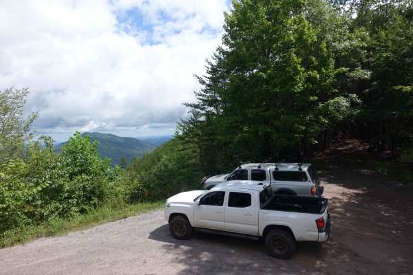
Hall Top Spur
The Hall Top Spur allows access to the Hall Top Fire Tower, Big Fill Road, and Rocky Top Road from the eastern border of this section of Cherokee National Forest. The road climbs steeply from the valley and gains 500 feet of elevation in just a few miles. The lower sections have recently been rework...
Learn more about Hall Top Spur
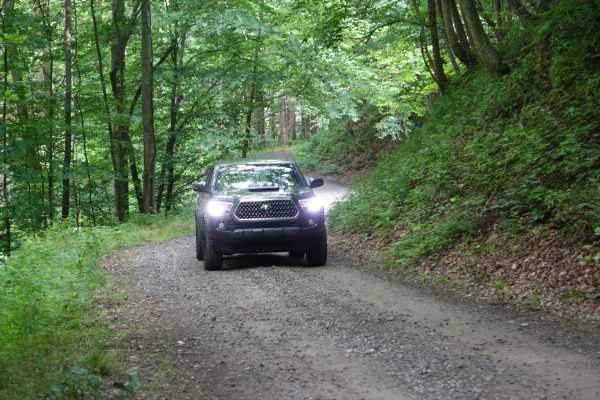
Old Buzzard Roost Road
Old Buzzard Roost Road is a nice adventure just a few miles from the interstate. You'll travel under the shadow of Mt. Sterling as you cross a few creeks and traverse switchbacks until you reach the top of the ridgeline and intersect with the Buzzard Roost Road. Initially, the route is mild gravel w...
Learn more about Old Buzzard Roost Road
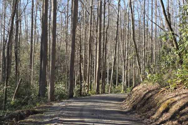
Flat Branch
Flat Branch is a short out-and-back gravel route located within Pisgah Game Land, offering a straightforward drive with a clearly defined endpoint. The road is well-maintained with a consistent gravel surface, making it accessible for most drivers under normal conditions. The trail follows gentle gr...
Learn more about Flat Branch
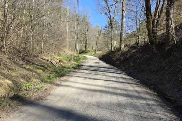
Mount Sterling Road
Mount Sterling Road is an easy gravel route that offers a straightforward drive with occasional exposure and light local traffic. The road is generally well-maintained with gentle grades, making it suitable for most drivers under normal conditions. While much of the route is wide enough for two vehi...
Learn more about Mount Sterling Road
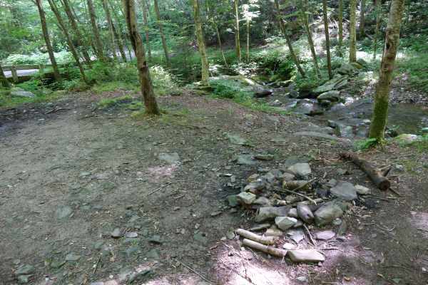
Buzzard Roost Road
While less exciting in terrain than the closely named Old Buzzard Roost Road, this route has some fantastic views and other exciting features. The road is mostly gravel, with a few sections holding water or small washouts. You can travel the Southern terminus up towards the ridgeline and trace along...
Learn more about Buzzard Roost Road
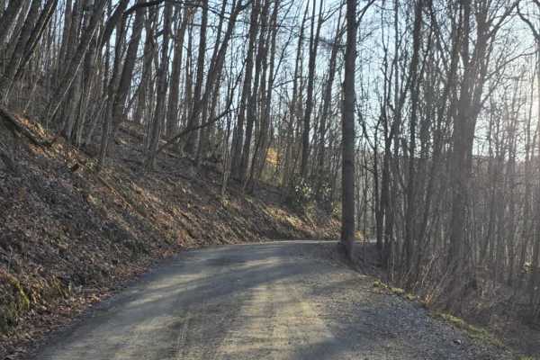
Long Arm
Long Arm is a varied trail that transitions from an easy gravel road into a more challenging off-road experience, making it important to understand the entry direction before starting. When entering from Buzzard Roost Road, the trail begins as a well-graded gravel drive that feels consistent with a ...
Learn more about Long Arm
Sutton
Sutton is a short out-and-back dirt route that offers a mostly easy drive with a brief change in terrain character. The trail begins as a graded path with a smooth, manageable surface before transitioning after a hairpin turn into a narrower, rocky two-track. In this section, rocks begin to protrude...
Learn more about Sutton
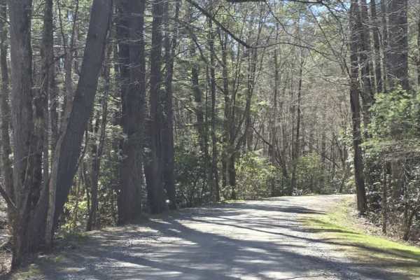
Cataloochee Creek Road
Cataloochee Creek Road is an easy gravel drive that provides access to one of the more historically rich areas in the region. The road is generally well-maintained and typically wide enough for two vehicles, making it a straightforward route suitable for most drivers. Gentle grades and a series of m...
Learn more about Cataloochee Creek Road
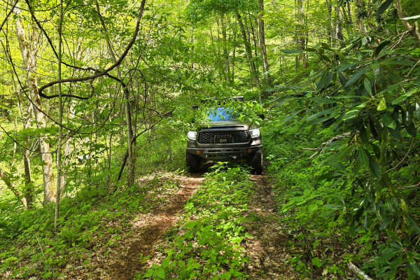
Shell Stand Road
Shell Stand Road - FR 418 is a narrow, low-traffic forest service route rated at 3/10 difficulty, primarily due to encroaching vegetation and tight passages resulting from limited maintenance and low use. Officially open only during March. Toward the end of the route, travelers are rewarded with str...
Learn more about Shell Stand Road
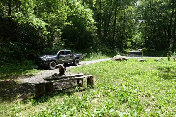
Gulf Road
Gulf Road is a great route to take to gain access to some of the tracks at higher elevations. From here you can head up to Max Patch, explore Martha Sundquist State Forest, head out into other sections of Pisgah, or take the long way to Hot Springs, NC. There are some houses at the lower elevations,...
Learn more about Gulf Road
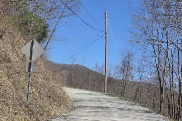
Cove Creek Road
Cove Creek Road is a short gravel route that offers a quick but scenic connection in the area, often used as an access point toward the Cataloochee Turnpike. The road surface is primarily gravel and generally well maintained, though it narrows to a single lane with several designated pull-offs for p...
Learn more about Cove Creek Road
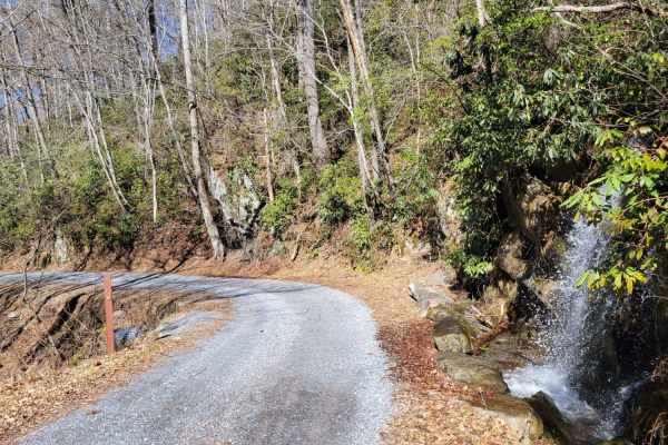
Cataloochee Turnpike to Big Creek
Gravel Road through the GSMNP Cataloochee area to Big Creek. The road is suitable for most vehicles, but higher clearance is recommended due to some rocky areas. The road will close during significant weather events like snowstorms, so checking the road status before departing is best. There are lov...
Learn more about Cataloochee Turnpike to Big Creek
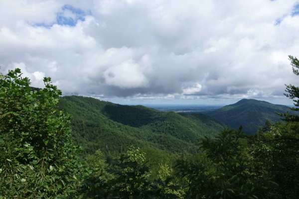
Big Clifty Road
Big Clifty is a mild introduction to the forest roads in the area. This seven-mile track climbs to the Meadow View Lookout Tower and is easily traversed by a 2WD vehicle. Cell service is available at the top. There are no camping spots on this road, but there are options close by. The tower is a gre...
Learn more about Big Clifty Road
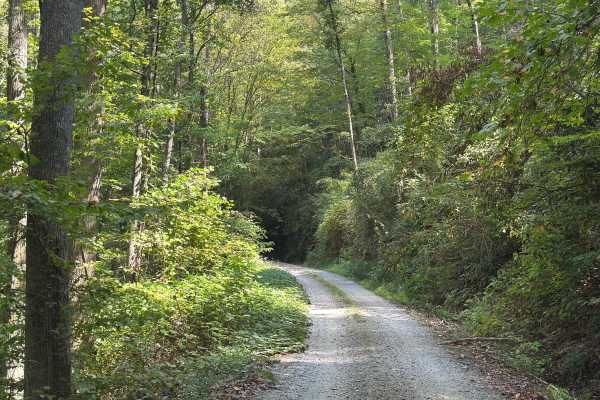
Slickrock Road
Slickrock Road is a gravel route that winds through the Nantahala National Forest. It is primarily one vehicle wide, though there are plenty of areas with room to pass. The road begins at Tapoco Road at an elevation of 1,277 feet and climbs to 3,062 feet over the course of seven miles. At the summit...
Learn more about Slickrock Road
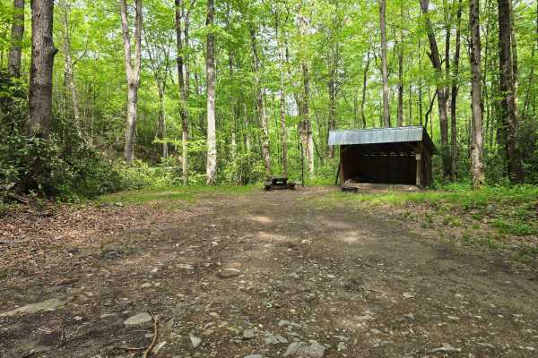
Deep Creek Road
Deep Creek Road - FS 445 is a freshly graded and well-maintained forest road that takes you right to one of the nicest campsites in the region alongside a small stream. The spot comes with a solid wood shed, making it super convenient for longer stays and keeping your firewood dry (it is often fully...
Learn more about Deep Creek Road
Beginner ATV trails near Pigeon Forge, Tennessee
Explore ATV-friendly trails near you. These trails are accessible for vehicles up to 50 inches wide, perfect for ATVs and smaller off-road machines.
Mount Sterling Road
Mount Sterling Road is an easy gravel route that offers a straightforward drive with occasional exposure and light local traffic. The road is generally well-maintained with gentle grades, making it suitable for most drivers under normal conditions. While much of the route is wide enough for two vehi...
Learn more about Mount Sterling Road
Sutton
Sutton is a short out-and-back dirt route that offers a mostly easy drive with a brief change in terrain character. The trail begins as a graded path with a smooth, manageable surface before transitioning after a hairpin turn into a narrower, rocky two-track. In this section, rocks begin to protrude...
Learn more about Sutton
Cataloochee Creek Road
Cataloochee Creek Road is an easy gravel drive that provides access to one of the more historically rich areas in the region. The road is generally well-maintained and typically wide enough for two vehicles, making it a straightforward route suitable for most drivers. Gentle grades and a series of m...
Learn more about Cataloochee Creek Road
Cove Creek Road
Cove Creek Road is a short gravel route that offers a quick but scenic connection in the area, often used as an access point toward the Cataloochee Turnpike. The road surface is primarily gravel and generally well maintained, though it narrows to a single lane with several designated pull-offs for p...
Learn more about Cove Creek Road
Beginner UTV/side-by-side trails near Pigeon Forge, Tennessee
Find UTV and side-by-side trails near you. These trails accommodate vehicles up to 60 inches wide, ideal for UTVs, side-by-sides, and wider off-road rigs.
Parson Branch Road
Parson Branch is a full gravel, one-way, scenic route that leads through the Smoky Mountains. The road is maintained, however, you may find the occasional tree down after heavy storms. This is usually not a problem. There are also many shallow water crossings, all less than 1ft deep. 4WD is not need...
Learn more about Parson Branch Road
Mount Sterling Road
Mount Sterling Road is an easy gravel route that offers a straightforward drive with occasional exposure and light local traffic. The road is generally well-maintained with gentle grades, making it suitable for most drivers under normal conditions. While much of the route is wide enough for two vehi...
Learn more about Mount Sterling Road
Sutton
Sutton is a short out-and-back dirt route that offers a mostly easy drive with a brief change in terrain character. The trail begins as a graded path with a smooth, manageable surface before transitioning after a hairpin turn into a narrower, rocky two-track. In this section, rocks begin to protrude...
Learn more about Sutton
Cataloochee Creek Road
Cataloochee Creek Road is an easy gravel drive that provides access to one of the more historically rich areas in the region. The road is generally well-maintained and typically wide enough for two vehicles, making it a straightforward route suitable for most drivers. Gentle grades and a series of m...
Learn more about Cataloochee Creek Road
The onX Offroad Difference
onX Offroad combines trail photos, descriptions, difficulty ratings, width restrictions, seasonality, and more in a user-friendly interface. Available on all devices, with offline access and full compatibility with CarPlay and Android Auto. Discover what you're missing today!
Open Trail Map