
Beginner Off-Road Trails
Near Nashville, Wisconsin
Explore All Beginner Trails Near Nashville, Wisconsin
Beginner Off-Road Trails Near Nashville, Wisconsin
Discover the best beginner-friendly off-road trails near you. These easier, lower-rated trails are a great place to start — browse trail maps, check difficulty ratings, and find your next adventure.
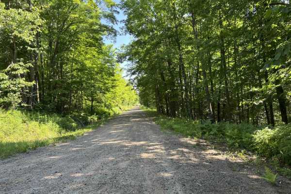
Tower Road
Tower Road is a multi-use county forest road that navigates from its intersection with Cole Lane to its intersection with Highway 8 and the Highway 8 ATV/ SxS trail. This trail is a semi-maintained gravel road that ranges in width from two vehicles to one vehicle wide. The trail is very stable and f...
Learn more about Tower Road
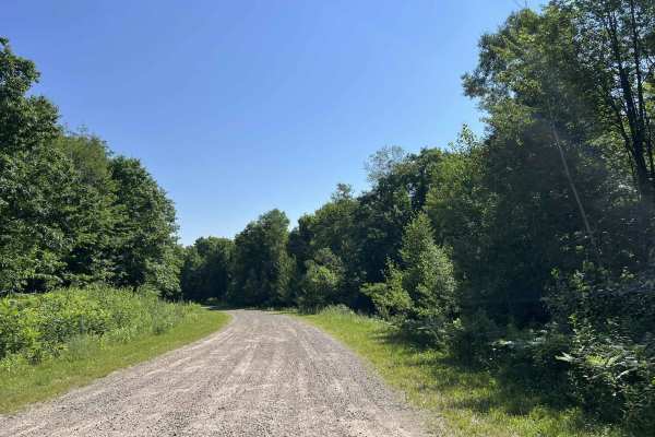
Sokagon Chippewa ATV/UTV Trail - Indian Route 10
Sokagon Chippewa ATV/ UTV Trail, India Route 10, is an ATV/ SxS trail that navigates from the trail's intersection with India Route 10 to the trail's intersection with County Road B. This trail begins as a wide open two-lane gravel road; after 1 mile of traveling north, the trail transitions into a ...
Learn more about Sokagon Chippewa ATV/UTV Trail - Indian Route 10
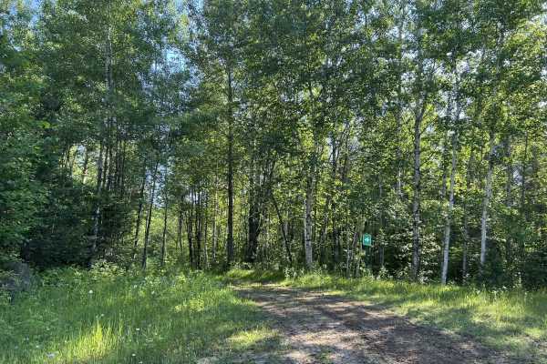
Wolf River Trail Forest County ATV/ SxS Access Trail
This is the access route to navigate from the Wolf River Trail onto the Forest County ATV/ SxS Trail System. This is a tight dirt two-track trail, surrounded by dense mature forest. Sight lines throughout this trail can be challenging due to the dense undergrowth around the trail. The loop portion o...
Learn more about Wolf River Trail Forest County ATV/ SxS Access Trail
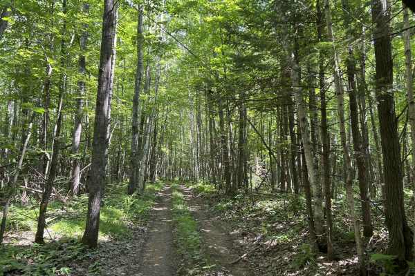
Forest County ATV/ SxS 8 Mile Loop Trail 6
Trail 6 is a part of the Forest County ATV/ SxS trail network and navigates from its intersection with Trail 2 to its intersection with Trail 4. Similar to all other trails in this trail system, Trail 6 is a rugged, tight two-track trail. It has a dirt base that has some small to medium-sized rocks,...
Learn more about Forest County ATV/ SxS 8 Mile Loop Trail 6
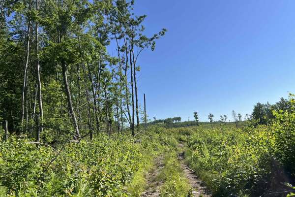
Forest County ATV/ SxS Loop 2 Bypass
This is a small detour that navigates further south from the main Loop 2 trail. This is a tight dirt two-track trail. This trail has a large portion of its length that navigates through an old cut block from when this section of forest was harvested. Thanks to the elevation of this region, this can ...
Learn more about Forest County ATV/ SxS Loop 2 Bypass
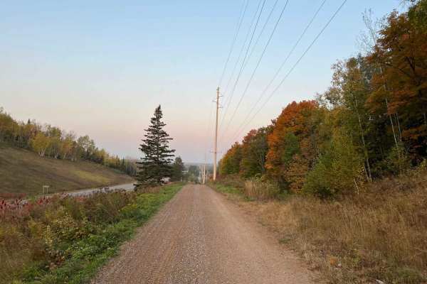
Crandon Highway 8 Trail
This ATV/ SxS trail runs from the town of Crandon to the town of Monico alongside US Highway 8. This trail serves as a great access point to the Crandon area trail systems, as well as the Enterprise/ Pelican Lake, and Harrison Hills Trails. This trail has several speed-restricted areas along the way...
Learn more about Crandon Highway 8 Trail
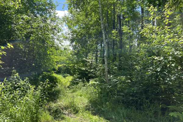
Forest County ATV/ SxS 8 Mile Loop Trail 1 Bypass
The Trail 1 bypass connects the north and south sides of Trail 1. This trail is especially useful for the individual looking to further explore this trail network, or for someone who is looking to avoid the mud holes located at the west end of Trail 1. This is a relatively new, untraveled trail, so ...
Learn more about Forest County ATV/ SxS 8 Mile Loop Trail 1 Bypass
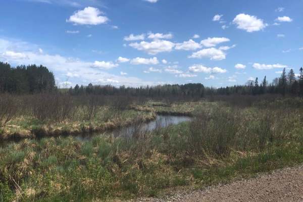
Pratt Junction
The best trail to take that conjoins Post Lake with Pelican Lake, which can then lead to the Harrison Hills system. The trail is mostly a gravel road, but has a small section of dirt on the Pelican Lake side. Along the way, there are excellent views of the woodlands and a stream. Good chance to see ...
Learn more about Pratt Junction
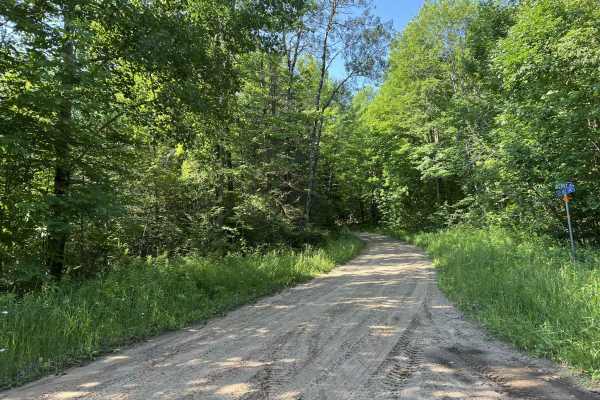
Deep Hole Lake Road
Deep Hole Lake Road navigates from its intersection with Berry Lane to its intersection with Sand Lake Road. This is a multi-use county forest road that is a popular trail for ATV's and SxSs, as the trail provides access to the Mole Lake area and is one of the ways that the Langlade County ATV and S...
Learn more about Deep Hole Lake Road
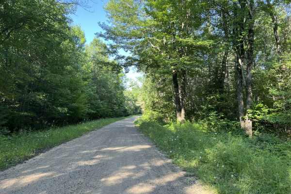
Berrys Lane
Berrys Lane is a there-and-back style trail with an endpoint turnaround that provides access to a couple of other trails in this section of the Nicolet National Forest. This trail begins at its intersection with West Lane and navigates northwest along the state forest's boundary with the Forest Coun...
Learn more about Berrys Lane
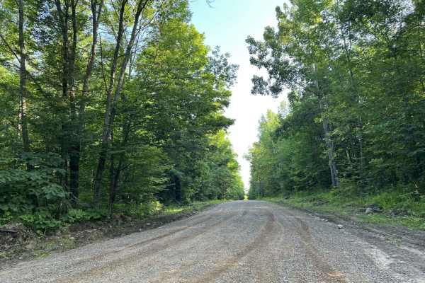
Johnson Road
Johnson Road begins at its intersection with Lundt Road and travels north to its intersection with County Road P. This is a moderately maintained county gravel forest road. The hard-pack gravel does a good job of mitigating washboard, as well as mud holes on the trail. The trail is very tame and has...
Learn more about Johnson Road
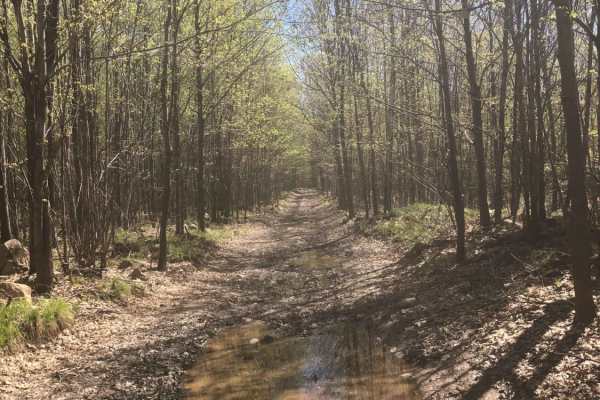
South Pelican
South Pelican is an easy, scenic 1.9-mile trail ideal for beginners and casual offroaders looking for a quick woodland escape near Pelican Lake. The route offers a pleasant mix of roadside riding and deeper forest immersion, beginning near the Boiling Springs Tavern on the east side and winding west...
Learn more about South Pelican

Wolf River State Trail
This portion of the Wolf River State Trail will run from County Road Q into the town of Crandon. This portion of the railroad grade passes several residential areas with a posted speed limit of 10 MPH to help with dust control. There are also several great viewing spots to overlook Lake Metonga. Sev...
Learn more about Wolf River State Trail
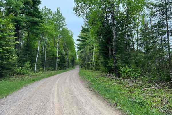
Wolf River Road Trail
This trail is a great multi-purpose trail accessible by both ATV/ SxS and full-size vehicles. This trail is a great access point to the north woods trails, as well as trails and forest roads contained within the Nicolet National Forest. The trail is a good mix of gradual rolling hills, as well as wi...
Learn more about Wolf River Road Trail
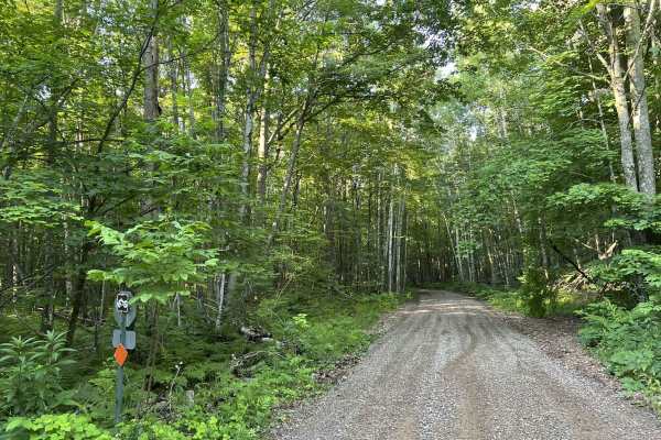
Fireside Market and Station Access Trail
This is the only trail available for ATV and SxS traffic to access the Fireside Market and Gas Station. This trail navigates from Bug Lake Road to Fireside Market. The trail is well-maintained, as it has a firm gravel base. The trail is not wide enough for two SxS's to pass each other at a high rate...
Learn more about Fireside Market and Station Access Trail
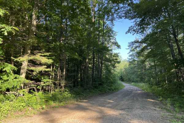
Bug Lake Road
Bug Lake Road is a multi-use trail open to ATVs, SxSs, and vehicles. This dirt road travels from its intersection with Lund Road, East to where the paved portion of Bug Lake Road begins. This trail is most popular with ATVs and SxSs as the access trail to the Fireside Market and gas station is locat...
Learn more about Bug Lake Road
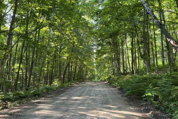
Brady Lake Road
Brady Lake Road navigates from its intersection with Fire Tower Lane to its intersection with North Shore Drive. This is a mild, gravel county forest road that navigates along the west side of Lake Lucerne. The trail surface is hard in most areas, and holds up well to traffic. Sections of the trail ...
Learn more about Brady Lake Road
Star Lake Road
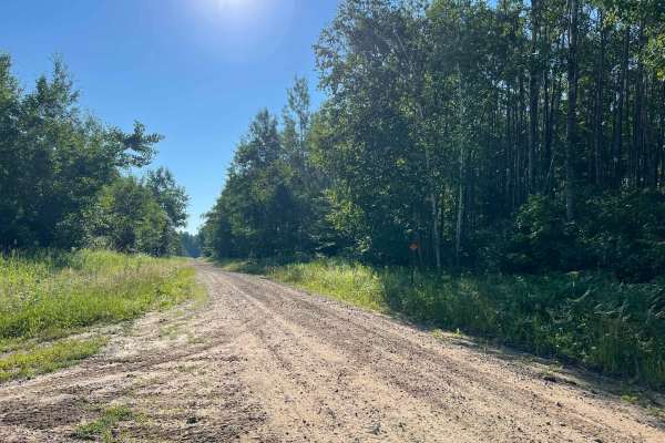
Star Lake Road is a there-and-back style trail that provides access to several properties in this area, as well as several other county forest roads. The trail begins at its intersection with Neal Road. This is a wide gravel/sand road that navigates across rolling hills and winding terrain. Sight li...
Learn more about Star Lake Road
Pelcho Cut Across
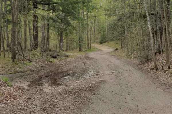
To get you off pavement and onto this rocky, winding trail you will cut through Enterprise Lake Road in Elcho and Old Elcho Road in Pelican Lake. Most times the trail has many low wet spots, but none of them are usually deep. Most corners are pretty tight, but oncoming traffic can usually be seen. T...
Learn more about Pelcho Cut Across
Otter Creek Road
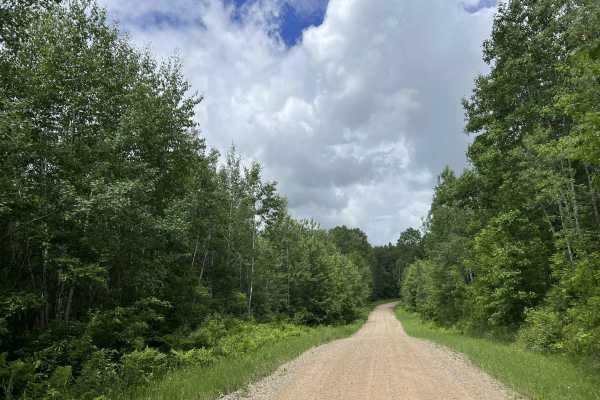
Otter Creek Road/ Peshtigo River Road begins at its intersection with Highway 8 and runs south to north to its intersection with County Road P. This is a moderately maintained dirt/ gravel road which varies in width but is on average between 1 and 2 vehicles wide. Most areas of the trail will requir...
Learn more about Otter Creek Road
Beginner ATV trails near Nashville, Wisconsin
Explore ATV-friendly trails near you. These trails are accessible for vehicles up to 50 inches wide, perfect for ATVs and smaller off-road machines.
Tower Road
Tower Road is a multi-use county forest road that navigates from its intersection with Cole Lane to its intersection with Highway 8 and the Highway 8 ATV/ SxS trail. This trail is a semi-maintained gravel road that ranges in width from two vehicles to one vehicle wide. The trail is very stable and f...
Learn more about Tower Road
Sokagon Chippewa ATV/UTV Trail - Indian Route 10
Sokagon Chippewa ATV/ UTV Trail, India Route 10, is an ATV/ SxS trail that navigates from the trail's intersection with India Route 10 to the trail's intersection with County Road B. This trail begins as a wide open two-lane gravel road; after 1 mile of traveling north, the trail transitions into a ...
Learn more about Sokagon Chippewa ATV/UTV Trail - Indian Route 10
Wolf River Trail Forest County ATV/ SxS Access Trail
This is the access route to navigate from the Wolf River Trail onto the Forest County ATV/ SxS Trail System. This is a tight dirt two-track trail, surrounded by dense mature forest. Sight lines throughout this trail can be challenging due to the dense undergrowth around the trail. The loop portion o...
Learn more about Wolf River Trail Forest County ATV/ SxS Access Trail
Forest County ATV/ SxS 8 Mile Loop Trail 6
Trail 6 is a part of the Forest County ATV/ SxS trail network and navigates from its intersection with Trail 2 to its intersection with Trail 4. Similar to all other trails in this trail system, Trail 6 is a rugged, tight two-track trail. It has a dirt base that has some small to medium-sized rocks,...
Learn more about Forest County ATV/ SxS 8 Mile Loop Trail 6
Beginner UTV/side-by-side trails near Nashville, Wisconsin
Find UTV and side-by-side trails near you. These trails accommodate vehicles up to 60 inches wide, ideal for UTVs, side-by-sides, and wider off-road rigs.
Tower Road
Tower Road is a multi-use county forest road that navigates from its intersection with Cole Lane to its intersection with Highway 8 and the Highway 8 ATV/ SxS trail. This trail is a semi-maintained gravel road that ranges in width from two vehicles to one vehicle wide. The trail is very stable and f...
Learn more about Tower Road
Sokagon Chippewa ATV/UTV Trail - Indian Route 10
Sokagon Chippewa ATV/ UTV Trail, India Route 10, is an ATV/ SxS trail that navigates from the trail's intersection with India Route 10 to the trail's intersection with County Road B. This trail begins as a wide open two-lane gravel road; after 1 mile of traveling north, the trail transitions into a ...
Learn more about Sokagon Chippewa ATV/UTV Trail - Indian Route 10
Wolf River Trail Forest County ATV/ SxS Access Trail
This is the access route to navigate from the Wolf River Trail onto the Forest County ATV/ SxS Trail System. This is a tight dirt two-track trail, surrounded by dense mature forest. Sight lines throughout this trail can be challenging due to the dense undergrowth around the trail. The loop portion o...
Learn more about Wolf River Trail Forest County ATV/ SxS Access Trail
Forest County ATV/ SxS 8 Mile Loop Trail 6
Trail 6 is a part of the Forest County ATV/ SxS trail network and navigates from its intersection with Trail 2 to its intersection with Trail 4. Similar to all other trails in this trail system, Trail 6 is a rugged, tight two-track trail. It has a dirt base that has some small to medium-sized rocks,...
Learn more about Forest County ATV/ SxS 8 Mile Loop Trail 6
The onX Offroad Difference
onX Offroad combines trail photos, descriptions, difficulty ratings, width restrictions, seasonality, and more in a user-friendly interface. Available on all devices, with offline access and full compatibility with CarPlay and Android Auto. Discover what you're missing today!
Open Trail Map