Trail Overview
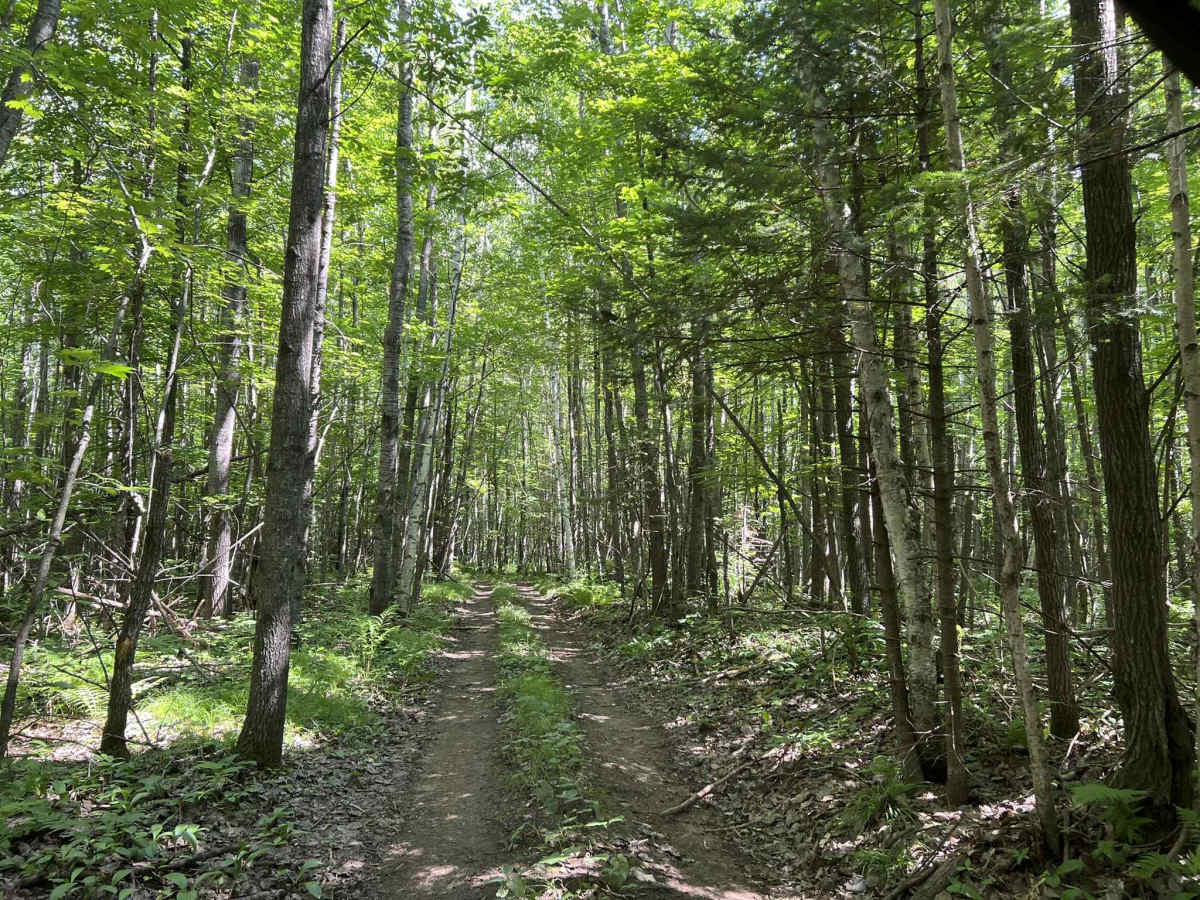
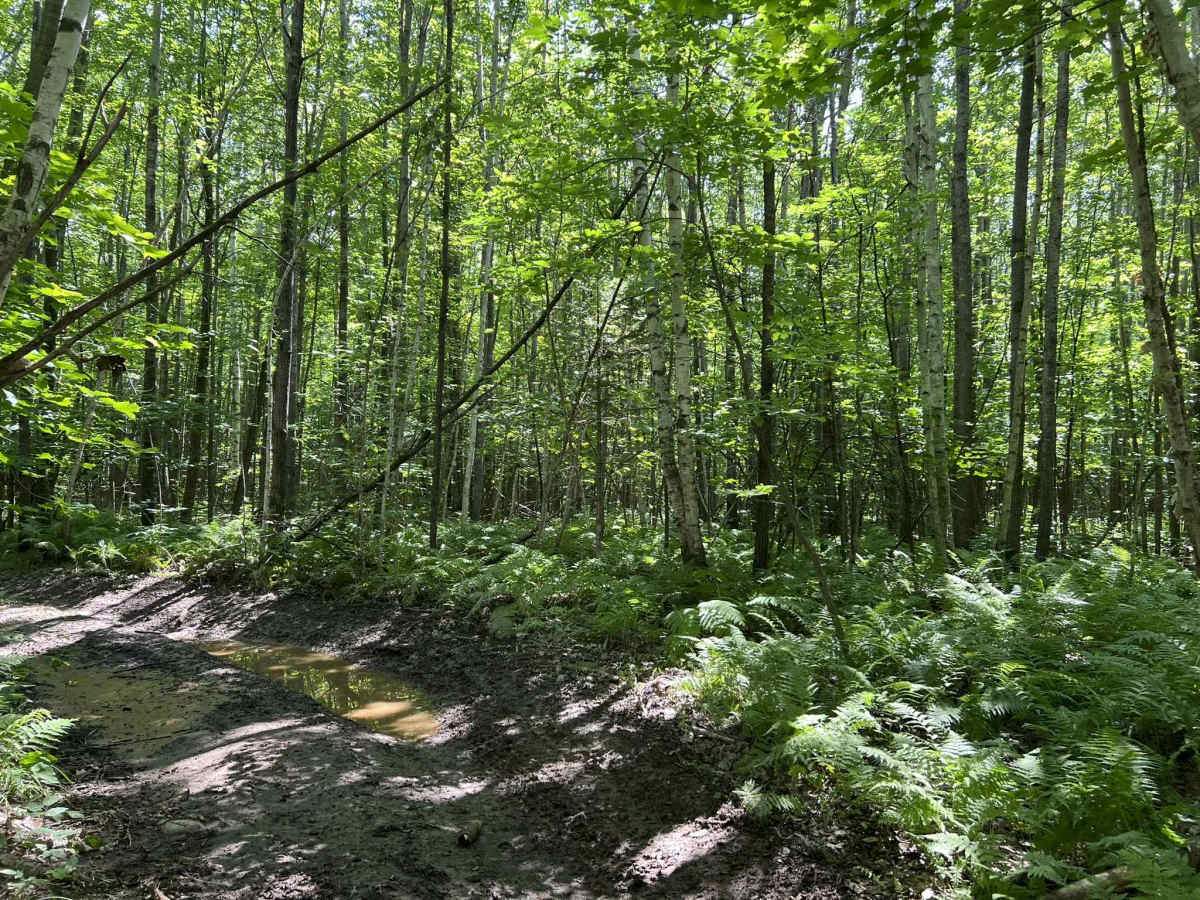
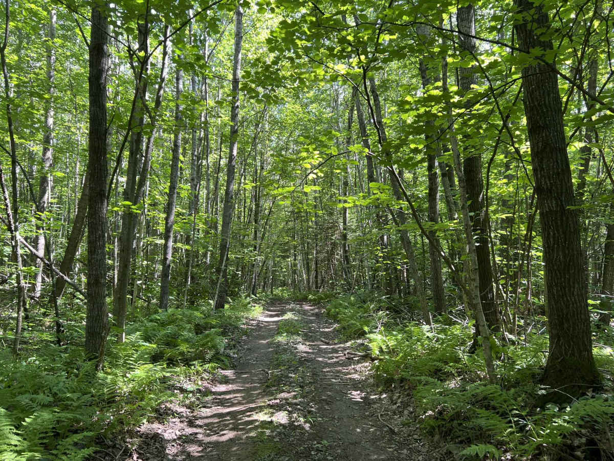
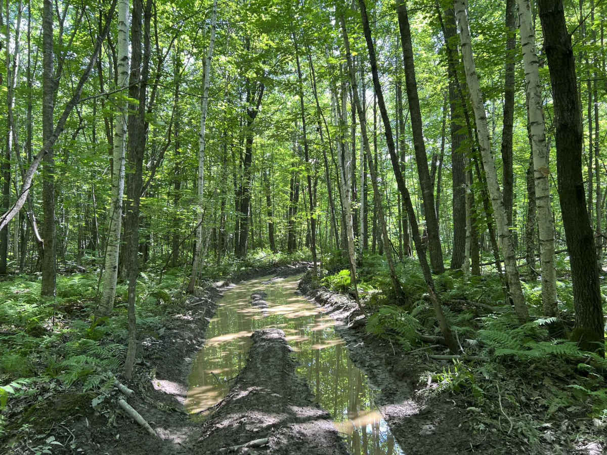
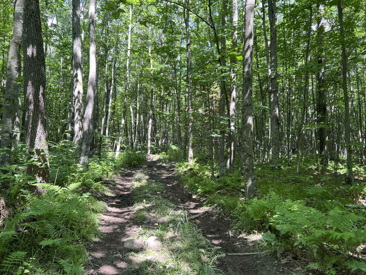
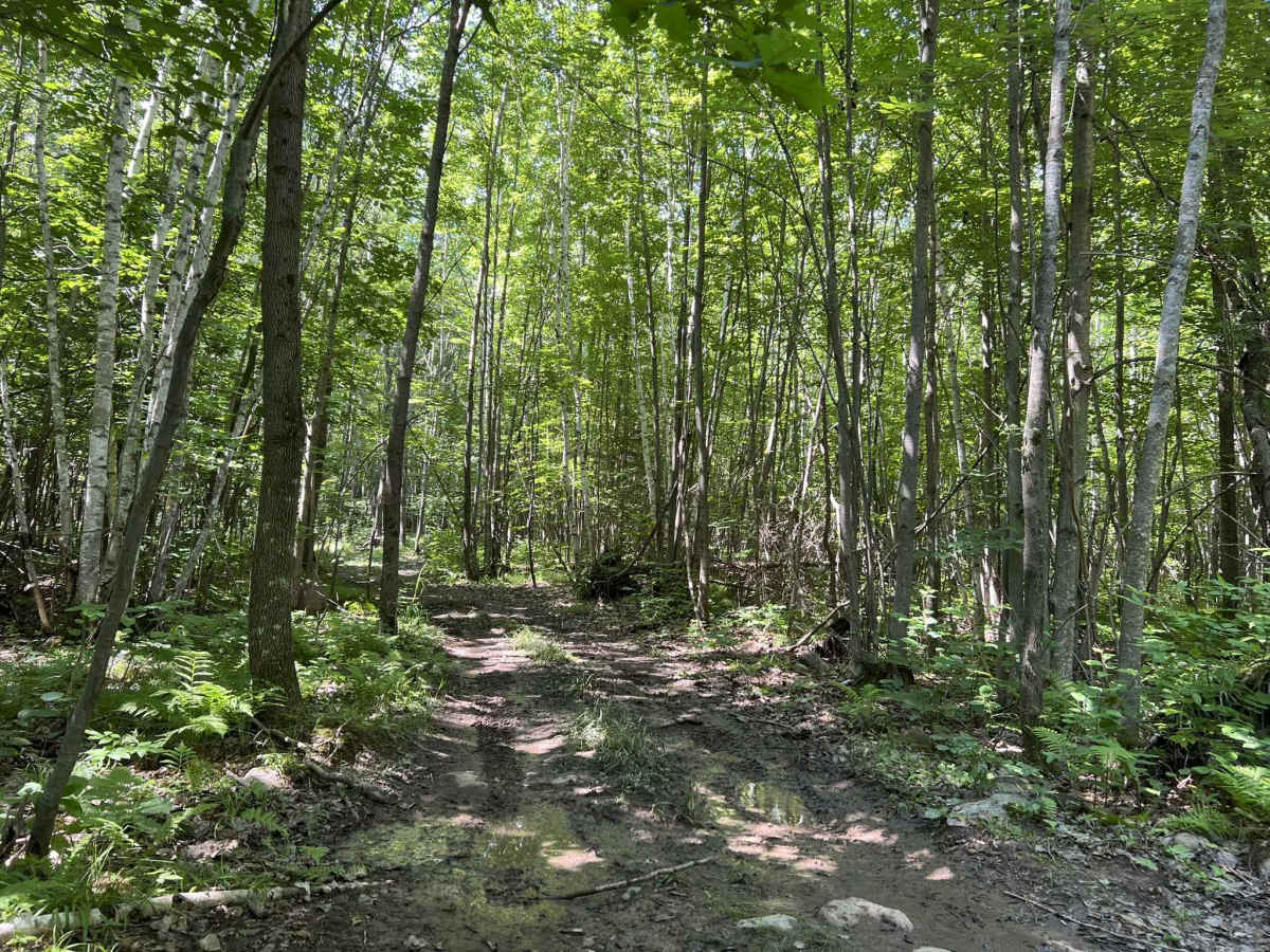
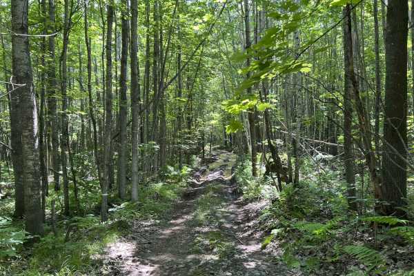
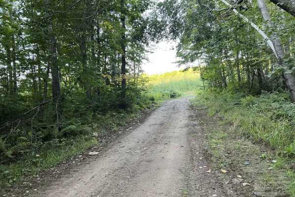
Trail 6 is a part of the Forest County ATV/ SxS trail network and navigates from its intersection with Trail 2 to its intersection with Trail 4. Similar to all other trails in this trail system, Trail 6 is a rugged, tight two-track trail. It has a dirt base that has some small to medium-sized rocks, roots, and the occasional stump that protrude through the trail. This trail system is known for its rutted mud holes, and this trail is no different. There are several small to medium-sized mud holes located throughout this short section of trail. This trail is less traveled than the 3 main trails in this system, so the mud holes present are not as deep or rutted as others. This trail remains semi-flat in elevation change for most of its length, with only a couple of sections experiencing minor elevation change. The surrounding forest is very dense with a moderate amount of undergrowth that hangs over and into the trail. It is not uncommon to find a downed tree or tree branch sitting in the trail after a recent storm. This trail's difficulty remains the same when traveled from either direction. Due to the lack of hills on this portion of trail, there are also no scenic spots that can be seen when traveling in either direction. Cell service in this area is generally good but can be slowed in the summer months due to increased demand on the local towers. If new to this area, traveling with downloaded maps helps with navigation and ensures only official trails are ridden.
Difficulty
This trail is one of the easier trails in this system since it is less traveled than others. The infrequent use means that the mud holes and ruts are not as deep as others within the trail network, currently being under 12 inches in depth throughout the trail. As the trail sees more use, this will change. The trail is very tight, as is the rest of the trail system, and speeds need to remain low to ensure everyone's safety. There are lots of blind corners with very few places that allow for a quick pull-off. For vehicles to safely pass, speeds will need to be slowed or stopped. Reversing to an open area may be required in some sections.

 Offroad