Trail Overview
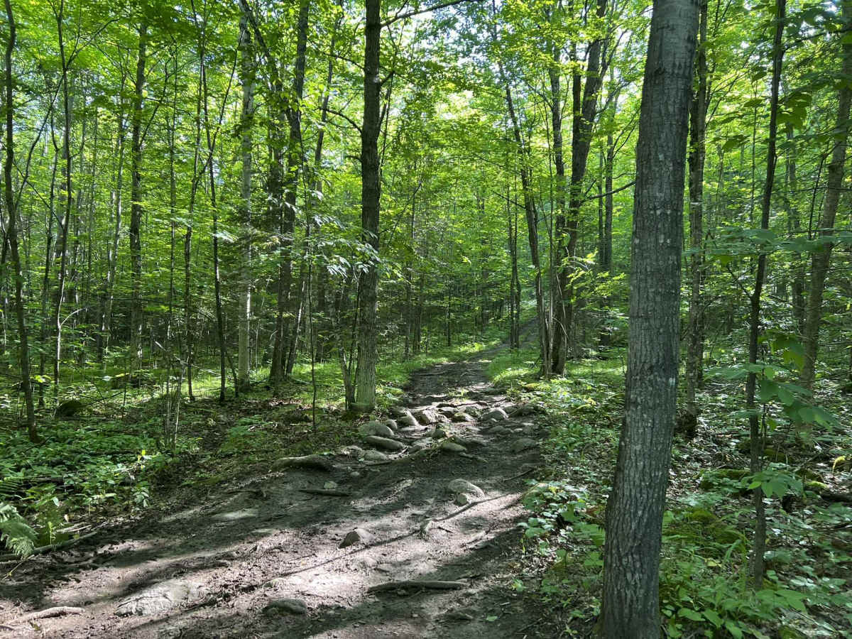
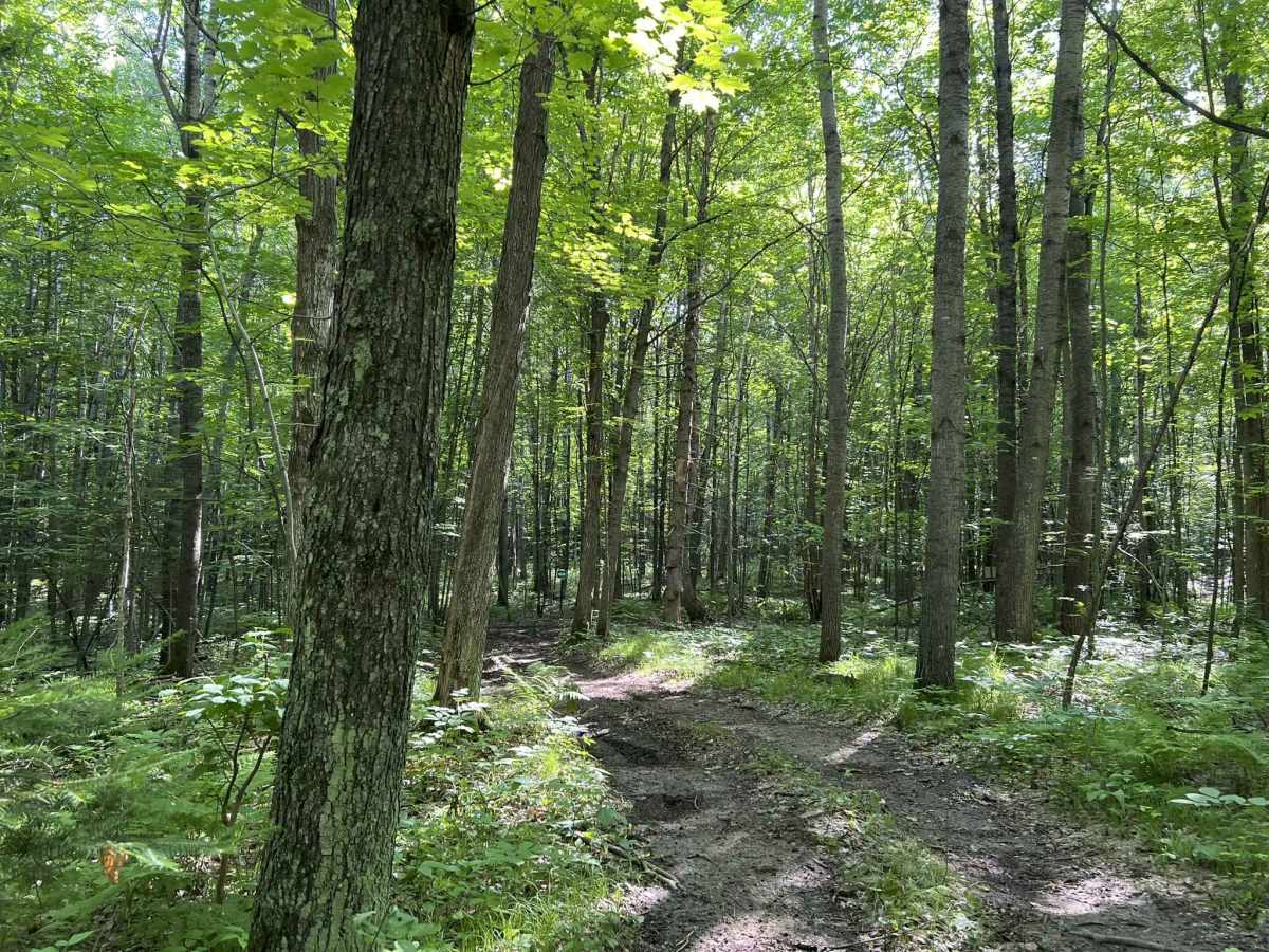
This is the second access trail for the Forest County ATV and SxS area when coming from the Wolf River State Trail. This is a steep and rough dirt trail, with large rocks and stumps that protrude through the trail's surface. If looking for the highest challenge, the trail is best ridden from West to East. This direction follows the trail's path up the hillside. There are numerous large holes located throughout the trail, as well as small to medium-sized rocks and stumps. There are also several very sharp corners, which will test the turning radius of longer vehicles. Small water spots can develop on the trail after a recent rain; additionally, heavy rain could lead to slick spots in some sections of the trail, as well as ruts created by the water running down the hillside.
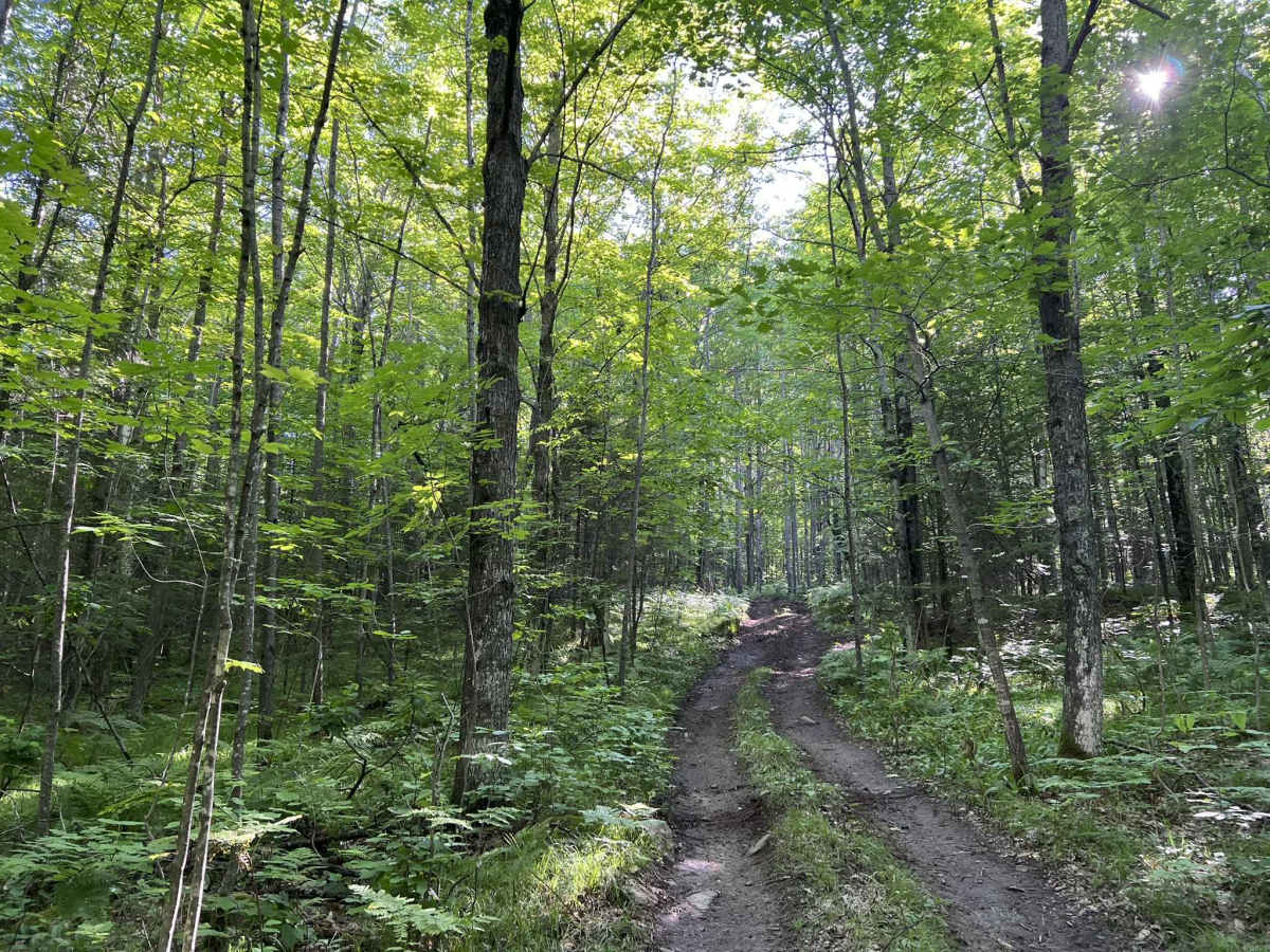
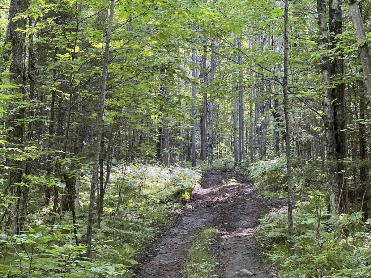
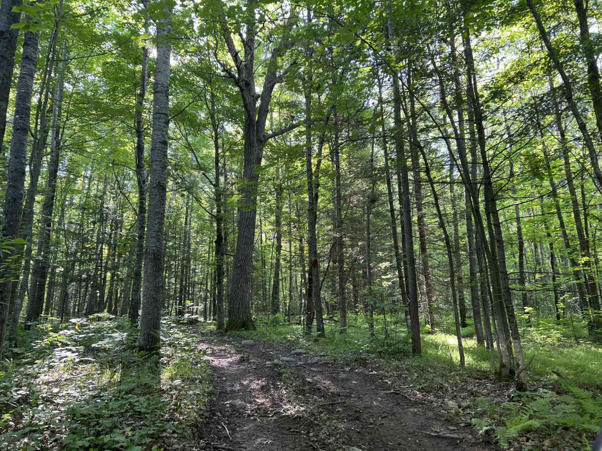
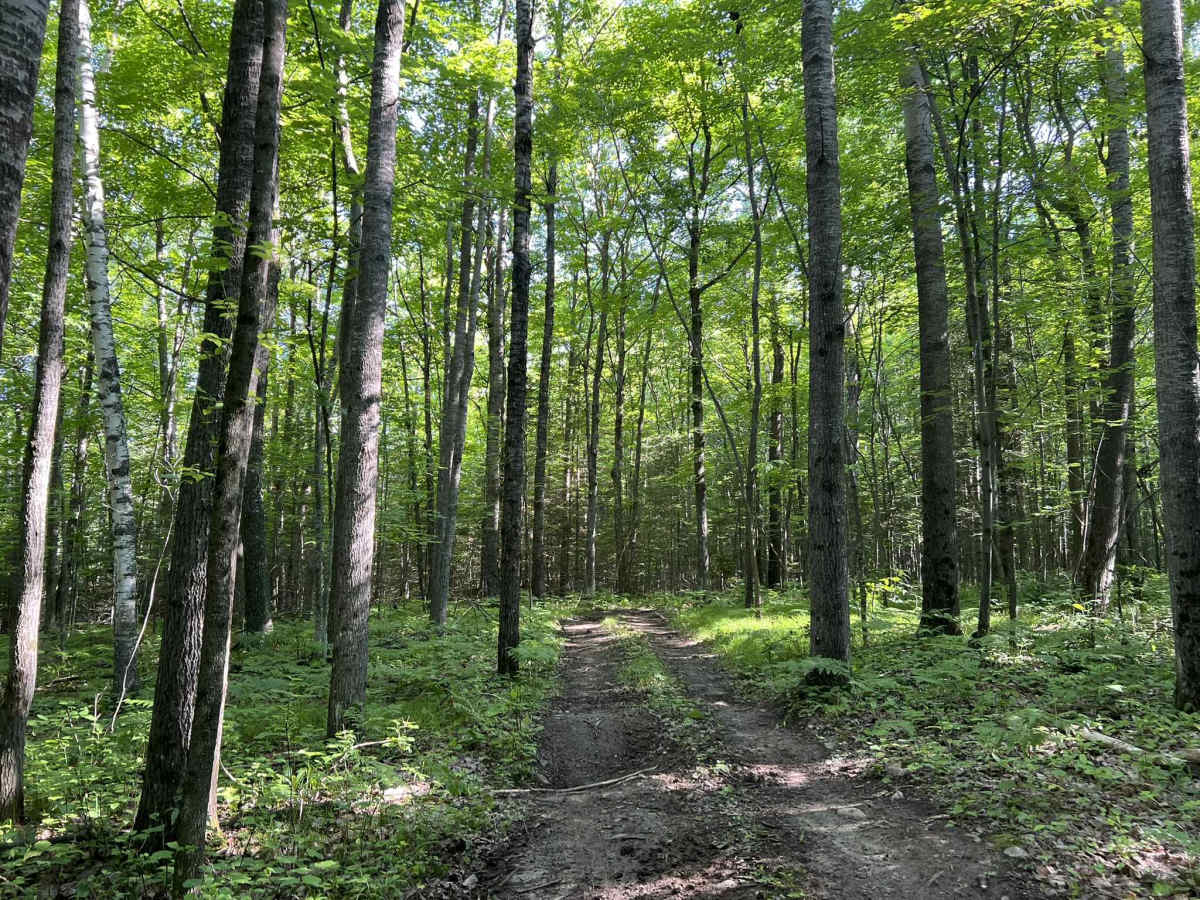
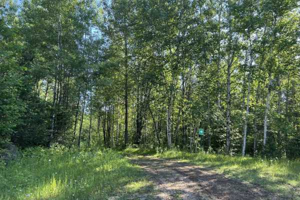
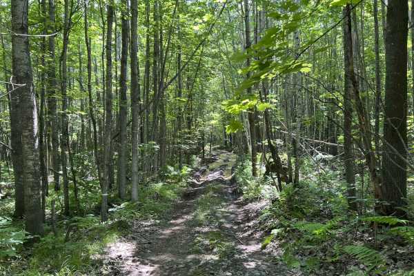
The scenery around the trail is mostly mature hardwoods, with some pines mixed throughout. There is little undergrowth, so the sight lines on and around the trail are pretty good. This trail is narrow and will require vehicles to move over and stop to allow for passage. As is the case with all trails in this area, there is the potential for downed trees or other brush on the trail after heavy storms. Cell service in this area is generally good but can be impacted in peak summer months due to the increased demand on local towers.
Difficulty
This trail is navigable by riders of all experience levels. However, the holes, stumps, and sharp turns will test less capable and larger vehicles, but decent tires, 4x4, and patience will solve these issues. The trail is very narrow and will require vehicles to pull over to allow for passing. Some sections of the trail have small branches or brush that overhang the edges of the trail. Sight lines throughout the trail are good thanks to the limited undergrowth in this section of the forest.

 Offroad