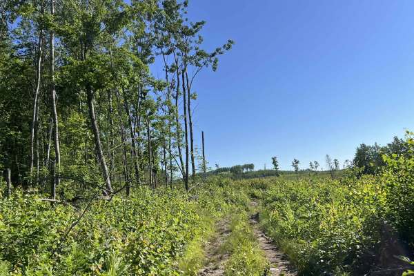
Trail Overview
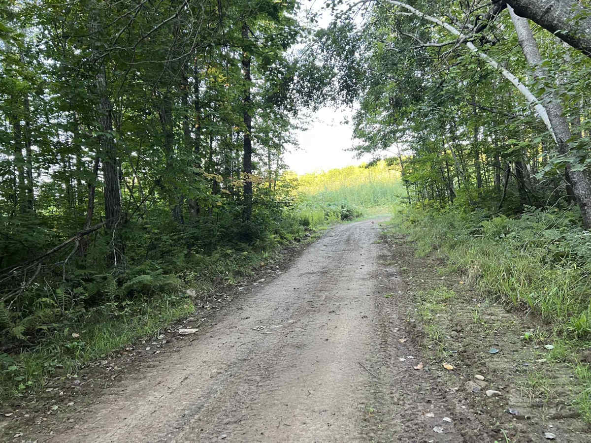
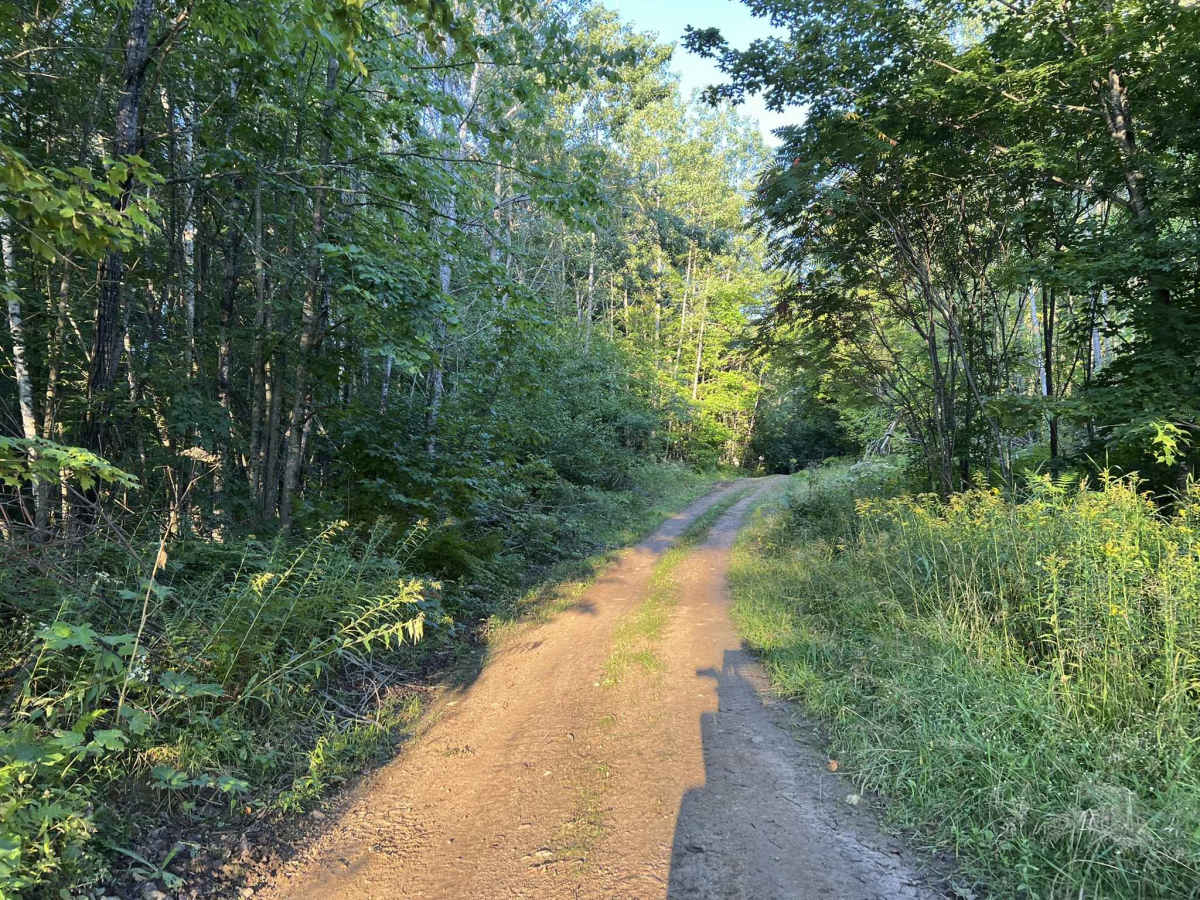
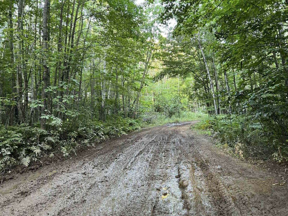
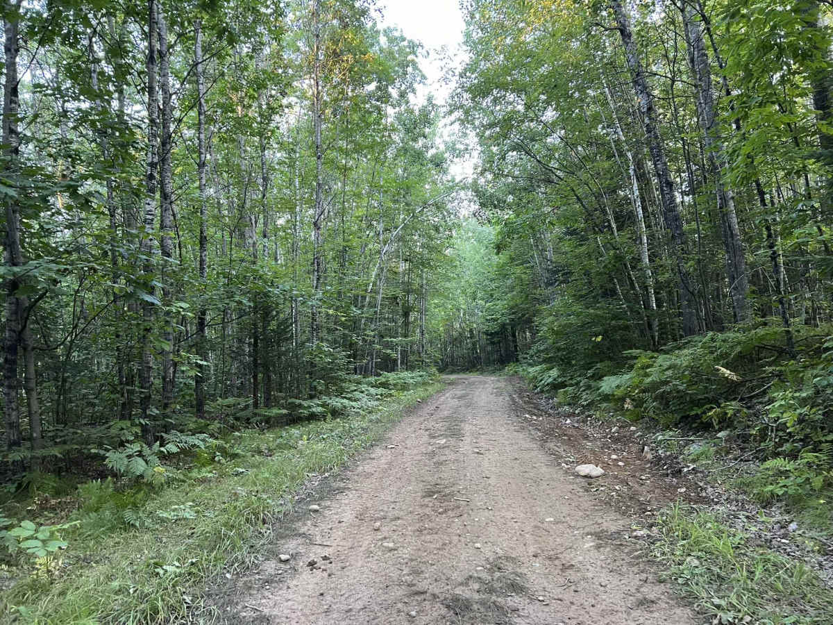
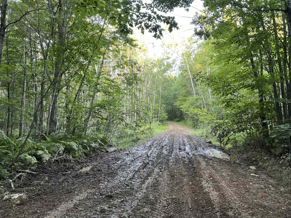
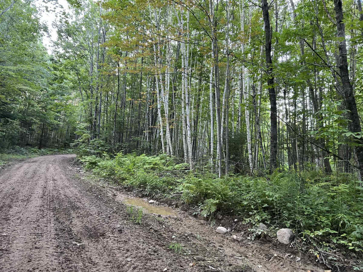
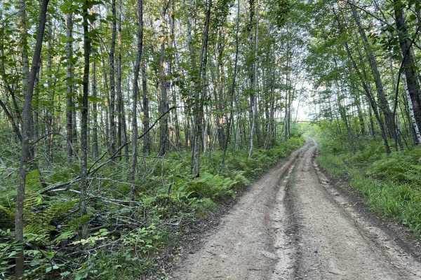
This is Forest County ATV/SXS 8 Mile Loop Trail 3. This is the last "Loop" trail within this section of the forest county trail system. This portion of the trail begins with a step, rutted, and rocky hill climb up the hillside. This quickly transitions into a grass trail, where ruts and water can easily be hidden. Once atop the hill, the trail transitions back to dirt and begins to navigate through the tight forest. Similar to all the other trails in this system, the trail has large ruts throughout, as well as countless mud holes/ water spots. These have an average depth of 6 to 18 inches, depending on how recently it rained. These also have soft bottoms in most areas, making some of the holes difficult for less capable vehicles.
Difficulty
This trail has a large number of mud holes varying in size. These mud holes provide the largest challenge throughout the trail. Depending on the last rainfall, these mud holes will vary in depth from 6 to 18 inches, while some also have a very soft and loose bottom. Large ruts also accompany most of these mud holes, which can make choosing a line challenging for SxSs that have low clearance or less aggressive tires. A Winch or second recovery machine should be considered for these types of machines when there has been recent rainfall. The trail also remains very narrow with few spots to pass for most of its length, coupled with dense vegetation, as well as rapid elevation changes, and sharp corners, making sight lines on this trail poor. The hill climb at the entrance of this trail can also be challenging if there has been recent rainfall, as the hillside will become slick with mud.