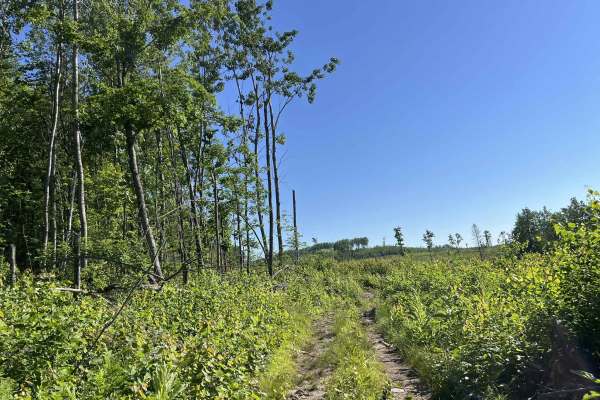
Trail Overview
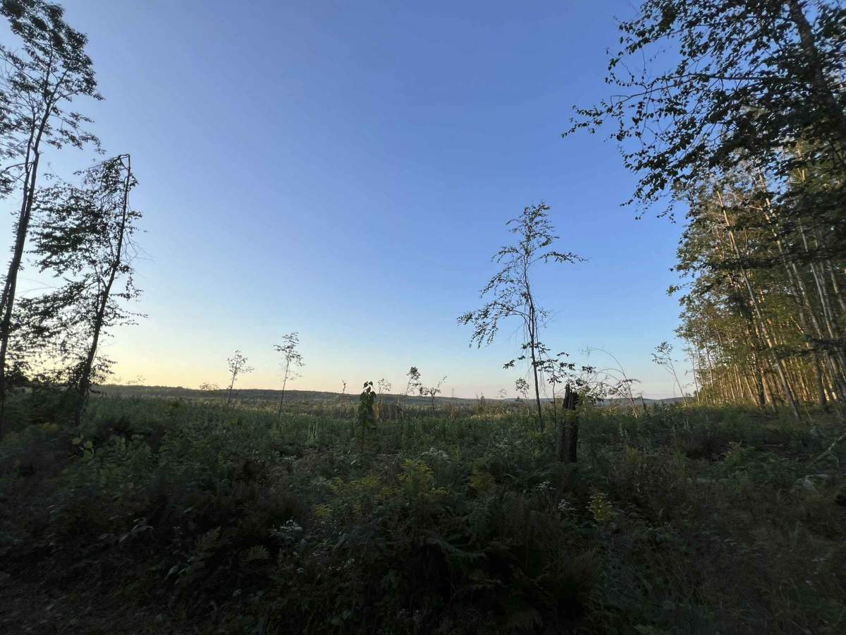
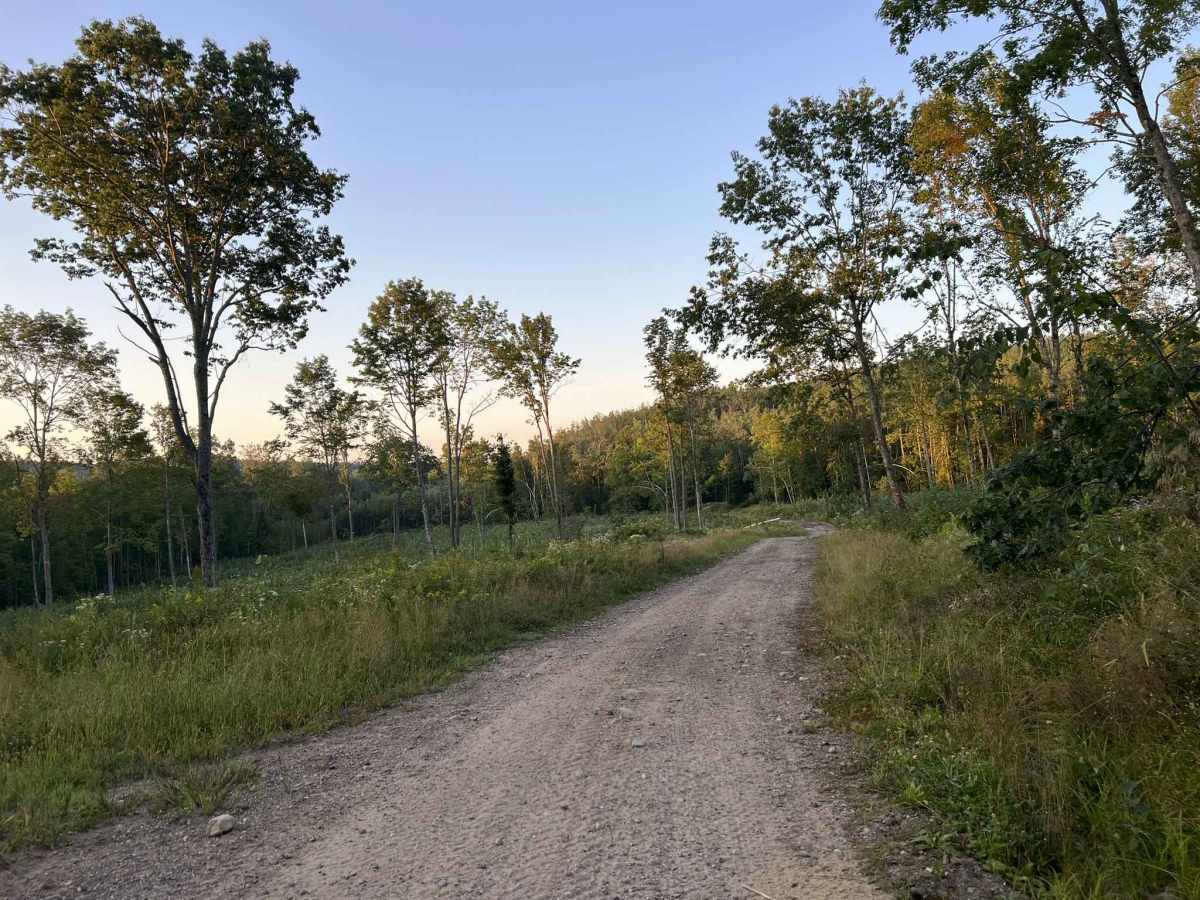
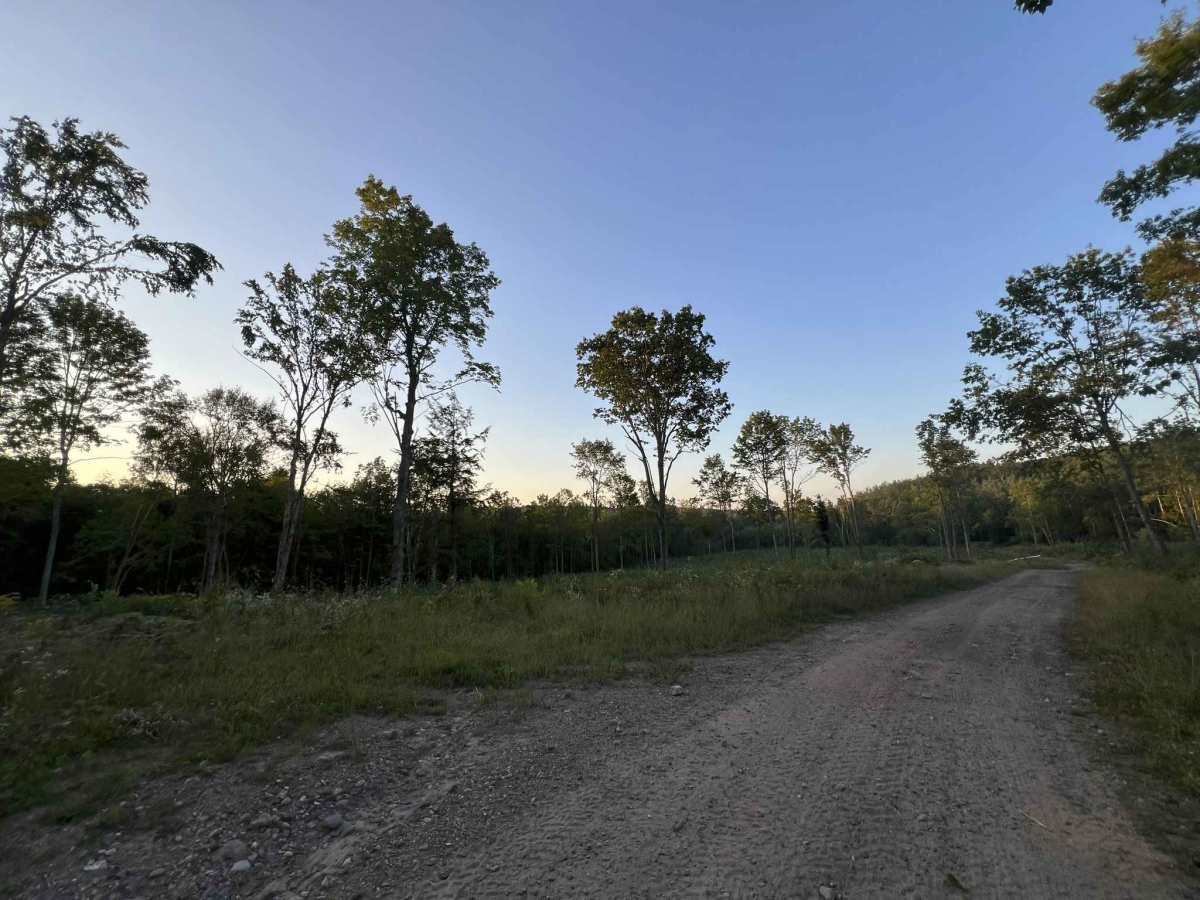
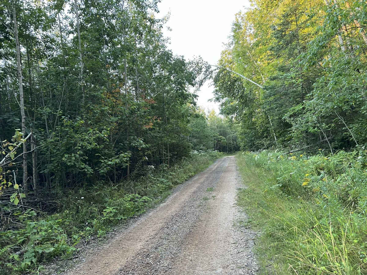
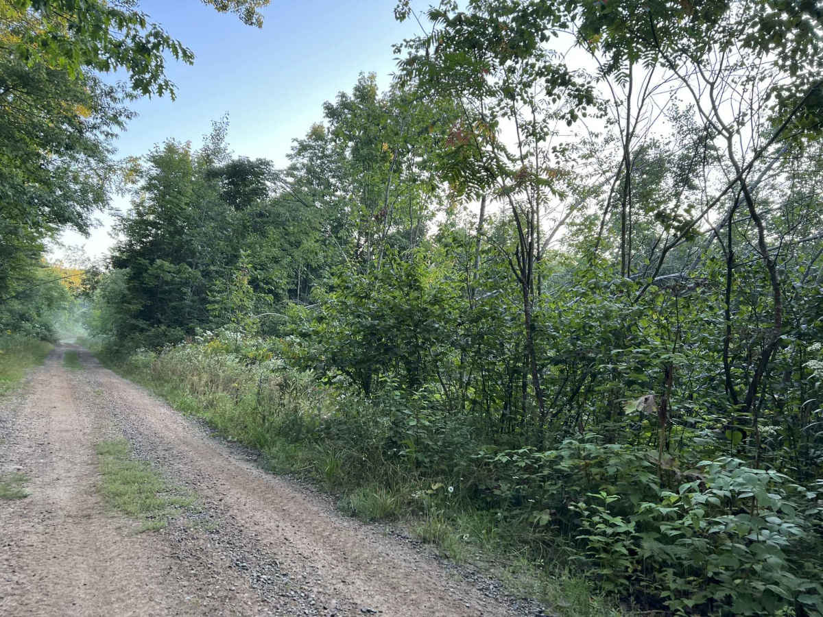
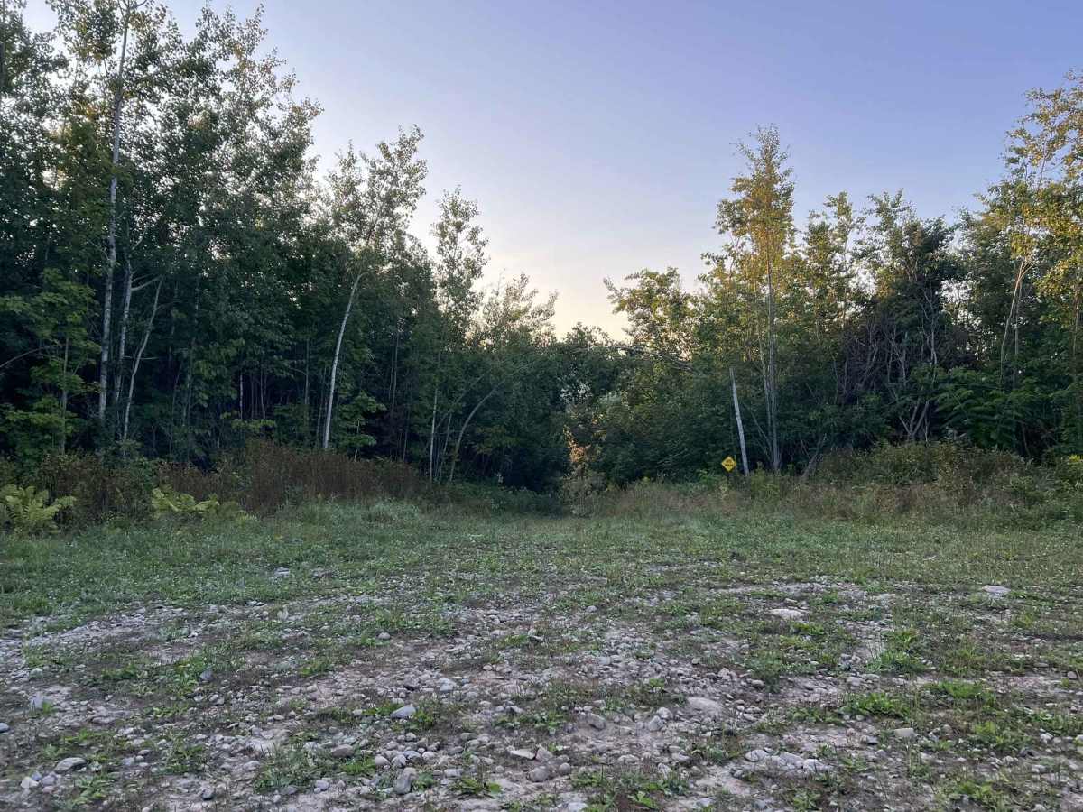
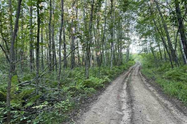
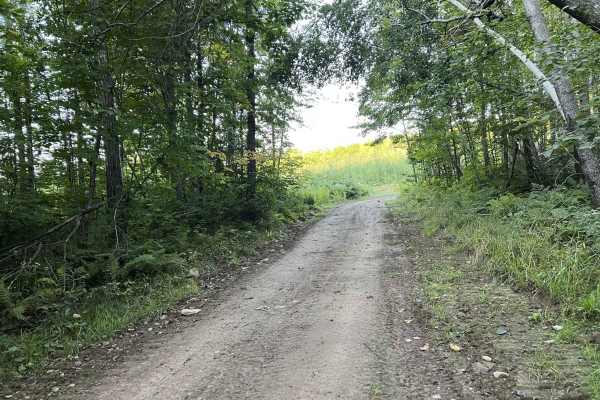
This is the second trail in the Forest County ATV recreation area. This trail heads south in the trail system and can be used as an outer ring trail, allowing access to some of the other trails on the interior of the system. This trail begins at the parking/ staging area located off Duff Road (45.53263, -88.8669). The trail starts out as a wide, rolling, and winding fire road but quickly narrows up into a tight two-track. The trail remains this width for the rest of its length. Surrounded by thick forest, the trail winds through the rolling forest county landscape, occasionally giving way to a clearing that allows for excellent views of the overlooking terrain. This trail, like all the trails in the Forest County ATV recreation area, has countless wet spots, which remain in place even after extended droughts. Deep ruts are present through most of these mud and water holes. This can make picking a line a challenge, especially for SxSs with low clearance or less aggressive tires. Most mud holes in this section of the trail have an average depth of 6 to 18 inches, depending on how recently it rained. These mud holes typically also have a soft bottom.
Difficulty
This trail has a large number of mud holes varying in size. These mud holes provide the largest challenge throughout the trail. Depending on the last rainfall, these mud holes will vary in depth from 6 to 18 inches, while some also have a very soft and loose bottom. Large ruts also accompany most of these mud holes, which can make choosing a line challenging for SxS that have low clearance or less aggressive tires. A Winch or second recovery machine should be considered for these types of machines when there has been recent rainfall. The trail also remains very narrow with few spots to pass for most of its length, coupled with dense vegetation, as well as rapid elevation changes, and sharp corners, making sight lines on this trail poor.