Trail Overview
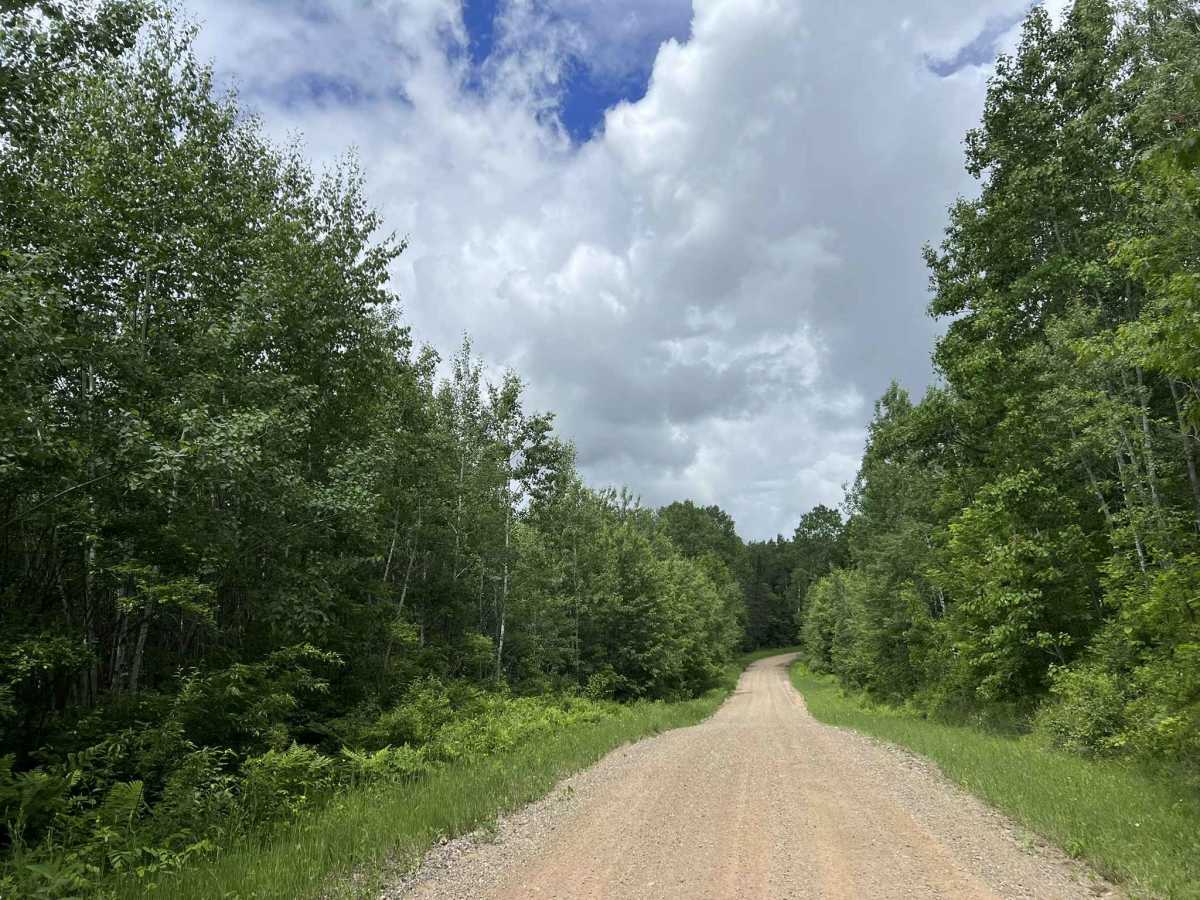
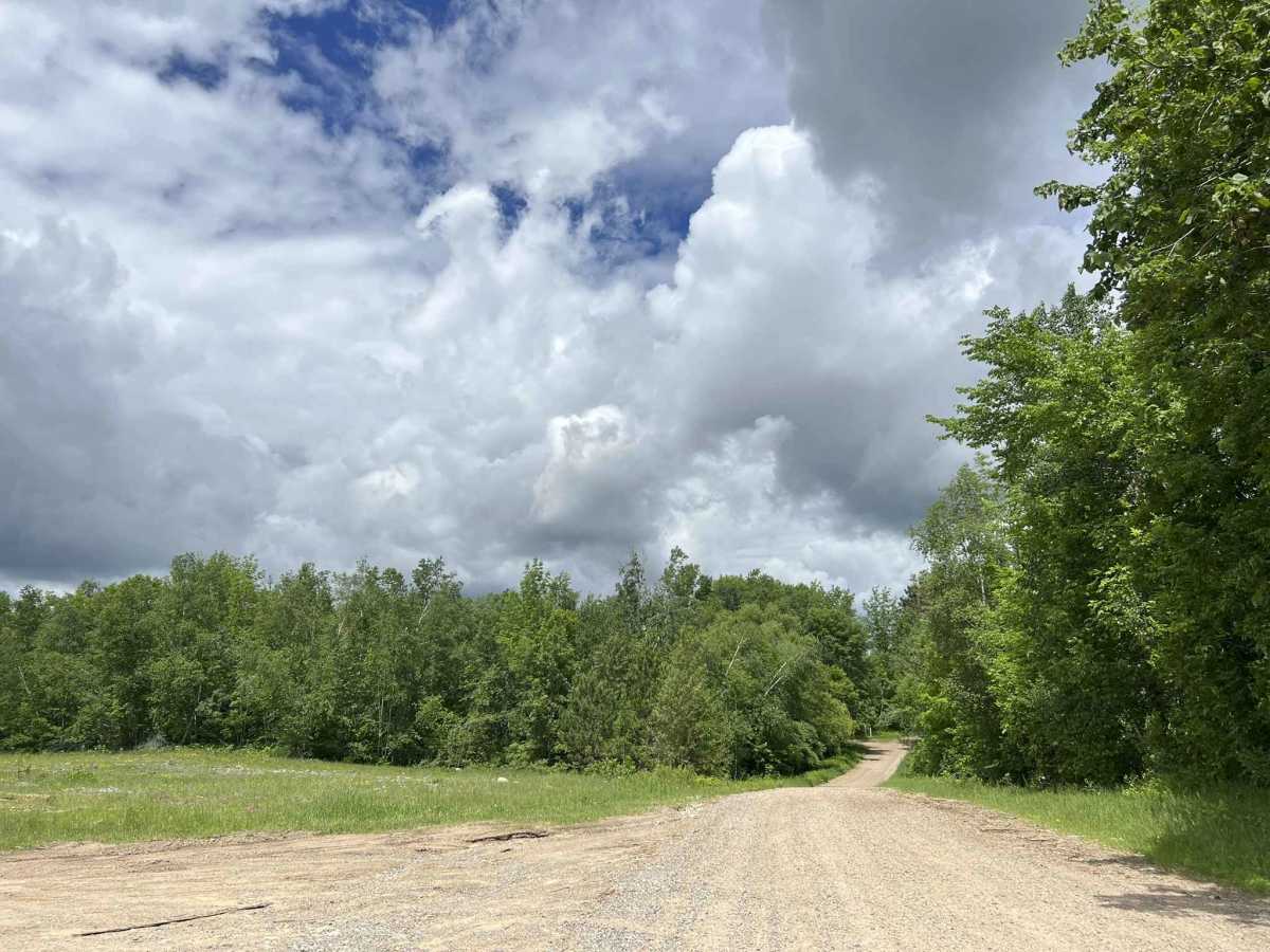
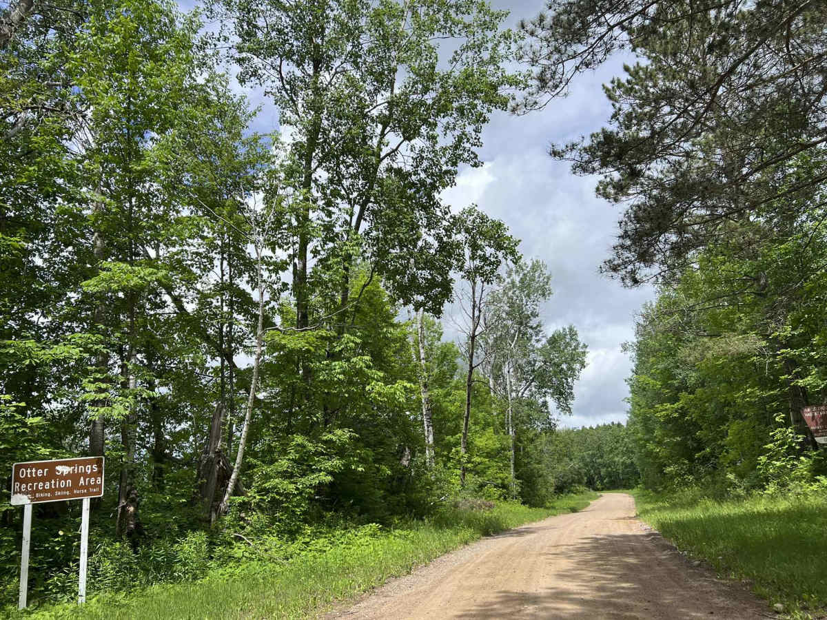
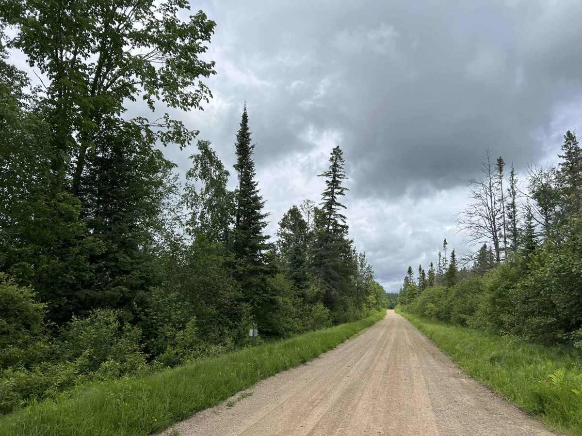
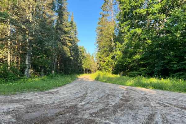
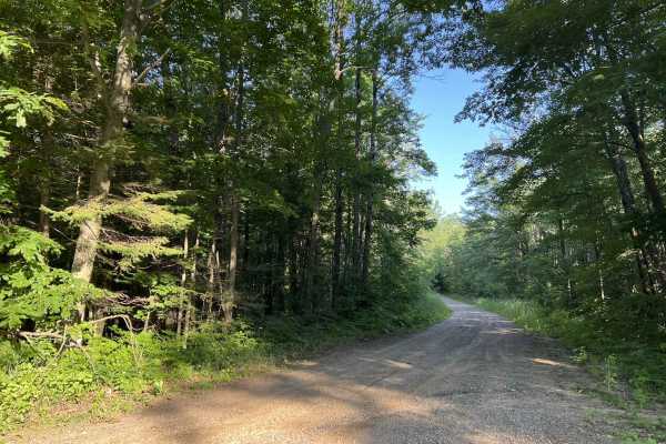
Otter Creek Road/ Peshtigo River Road begins at its intersection with Highway 8 and runs south to north to its intersection with County Road P. This is a moderately maintained dirt/ gravel road which varies in width but is on average between 1 and 2 vehicles wide. Most areas of the trail will require a vehicle to slow down to allow for safe passing. The trail has a good mix of moderate rolling elevation, as well as sweeping corners. The scenery around the trail is mostly mature trees; however, some sections will have younger trees. There is little undergrowth in this area, allowing for excellent sight lines through the forest. There are also several portions of this trail that run through the center of a valley, which allow for some good views of the surrounding scenery. Cell service in this area is okay, but can become slow due to increased demand on the towers in the summer months. Downloaded maps can be of benefit during this time.
Difficulty
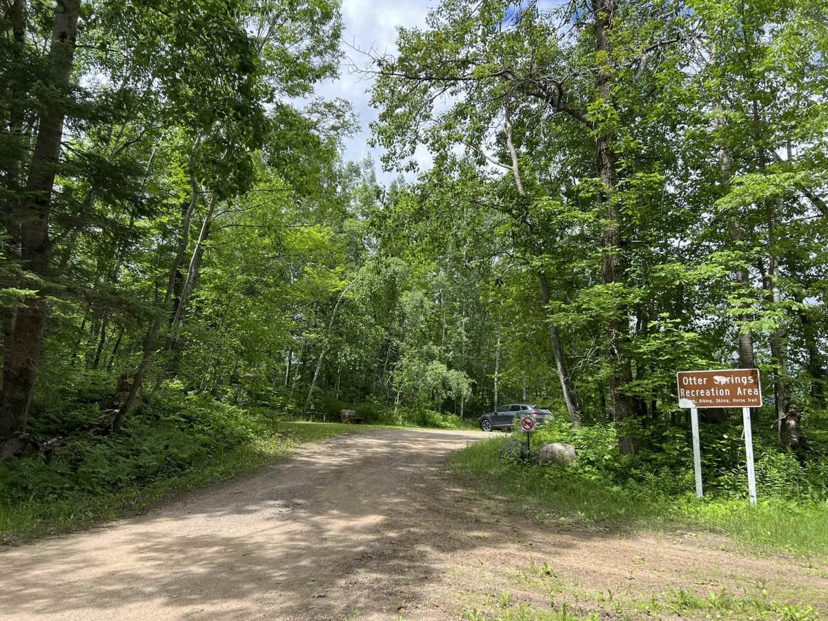
This trail can be navigated by individuals of all experience levels. The terrain is very forgiving and is also very mild, allowing for a pleasant driving experience. There are horse trails/hiking trails that cross the trail in the southern region, so be sure to remain aware of your surroundings. Shallow water spots can develop in several areas after periods of rain. These are typically no more than 6 inches deep.

 Offroad