Trail Overview
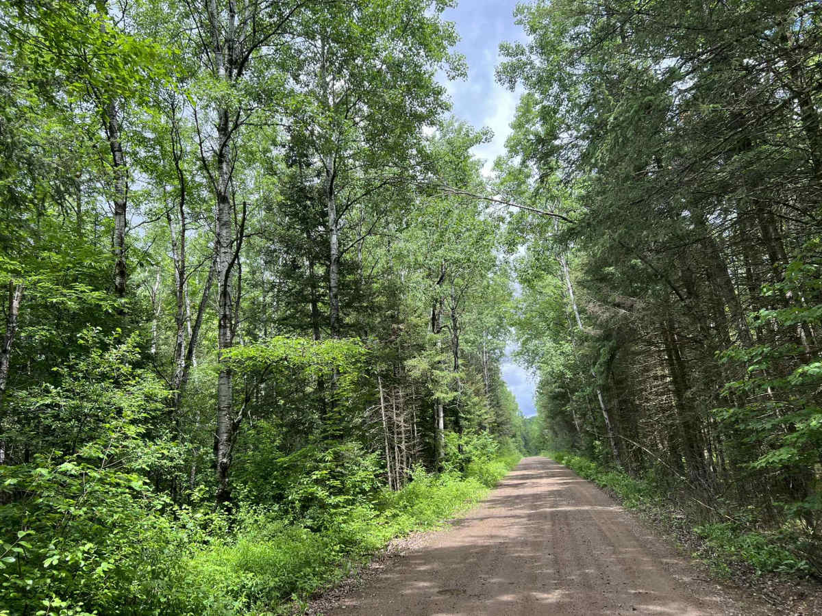
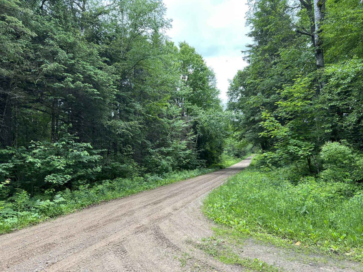
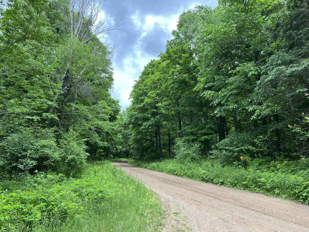
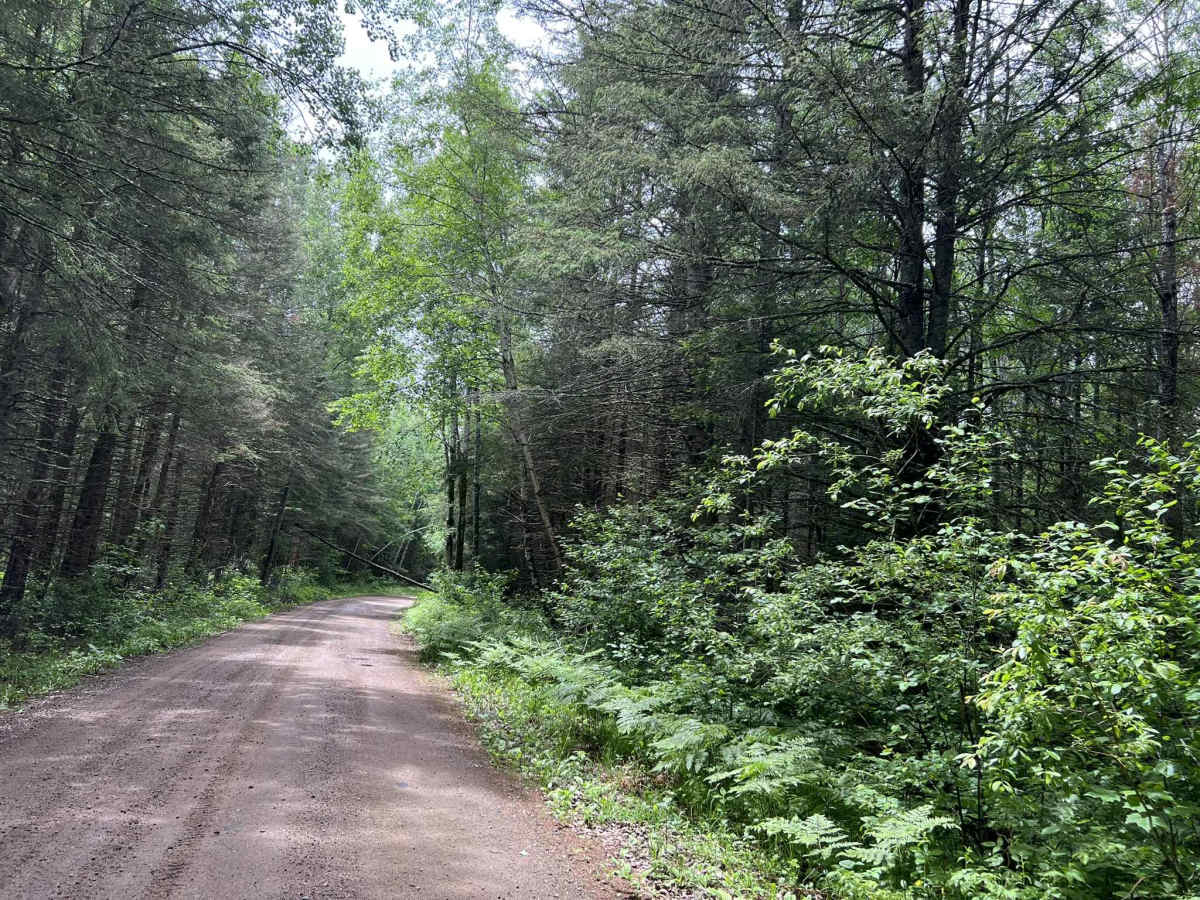
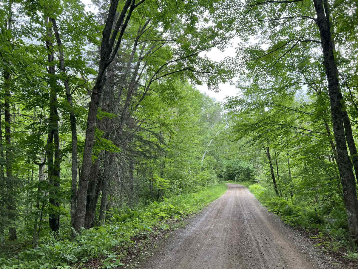
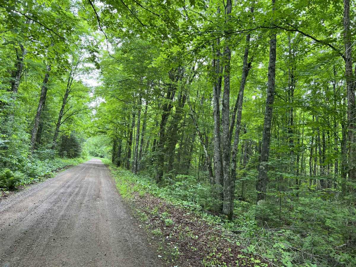
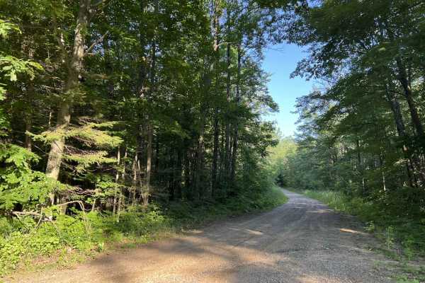
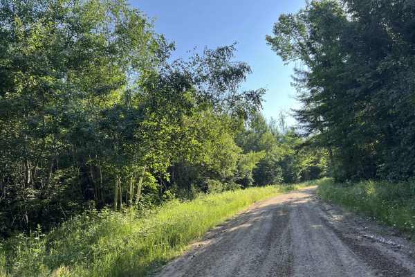
FS 2378 begins at its intersection with Otter Creek Road and navigates north to its end point at its intersection with County Road G. This trail is a moderately maintained forest road, with a mix of gravel and dirt for the base. The trail changes width several times, but there are a few sections of the trail that are not much wider than one vehicle wide. Most of these areas have enough room for vehicles to hug the edge of the trail and pass each other at slower speeds. The terrain in this area is very scenic thanks to the elevation changes that take place frequently on and around the trail. The trail navigates through mostly mature forests, with medium to large trees on both sides. Some areas of this trail navigate through valleys, which means that after strong storms, debris can be pushed onto the trail. Cell coverage in this area is okay but can be spotty at times due to increased demand on the local towers during peak summer months. Downloaded maps should be considered before traveling.
Difficulty
This trail can be navigated by individuals of all experience levels. The terrain is very forgiving and is also very mild, allowing for a pleasant driving experience. Shallow water spots can develop in several areas after periods of rain. These are typically no more than 6 inches deep.

 Offroad