Trail Overview
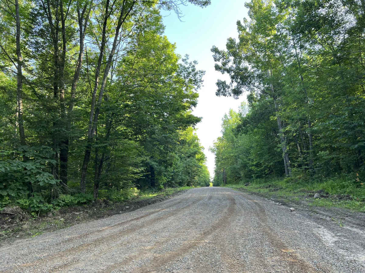
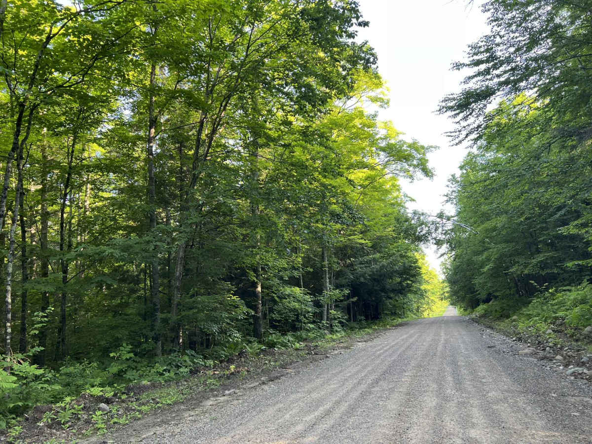
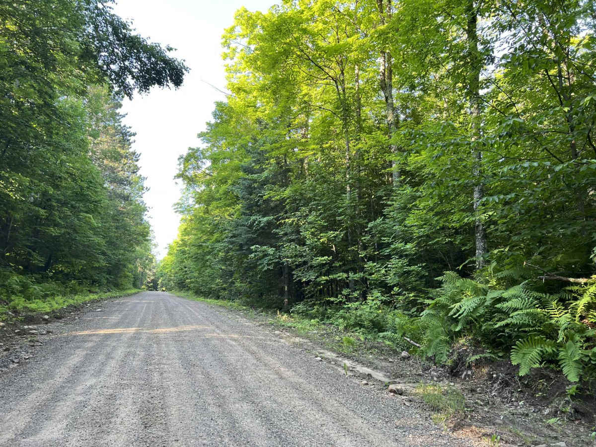
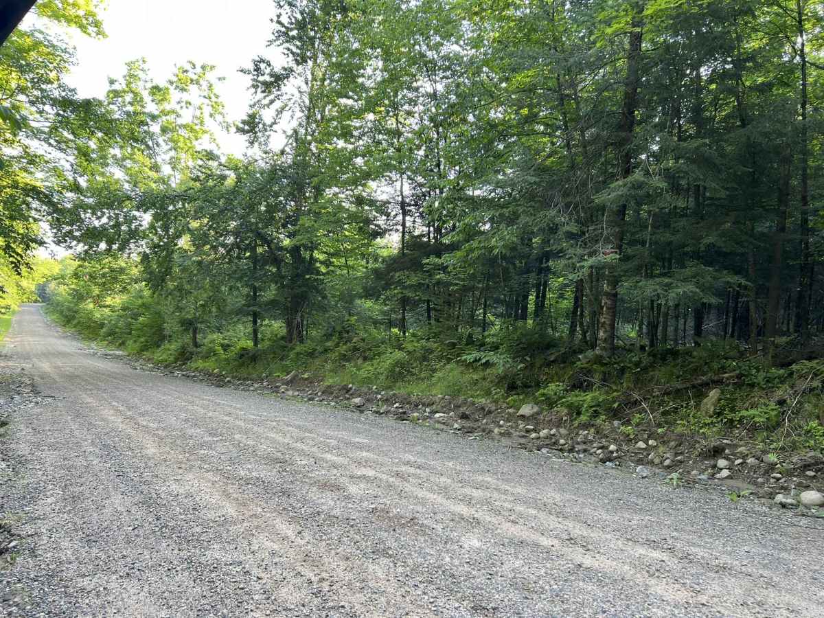
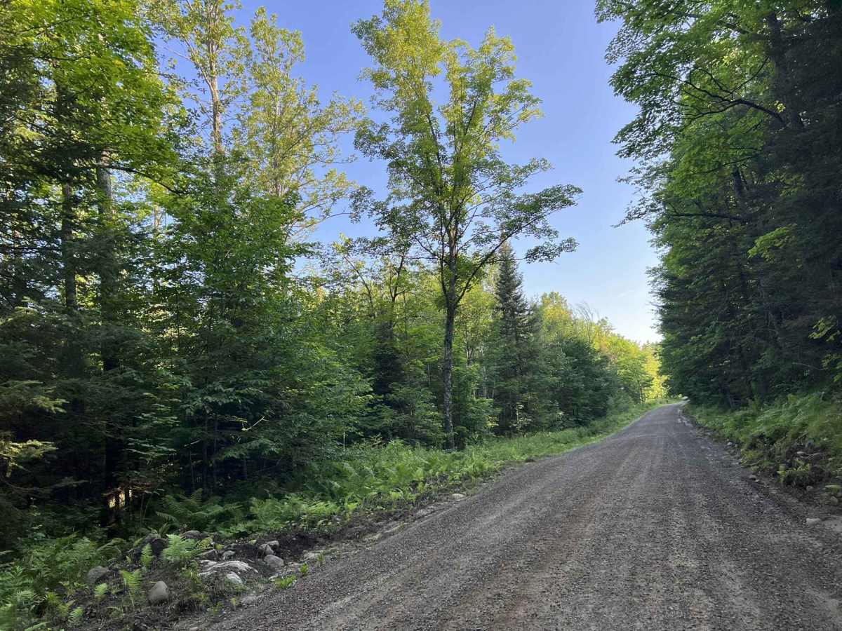
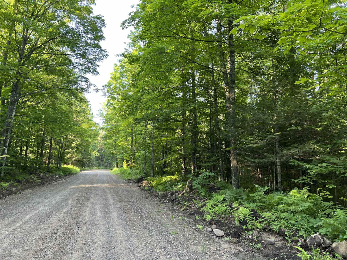
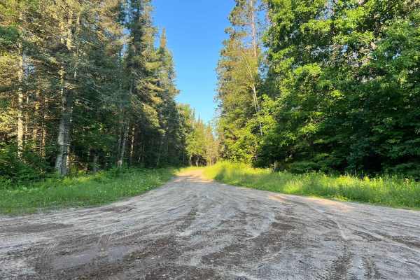
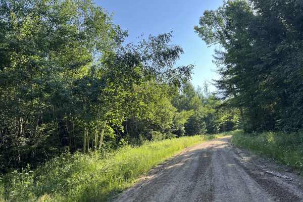
Johnson Road begins at its intersection with Lundt Road and travels north to its intersection with County Road P. This is a moderately maintained county gravel forest road. The hard-pack gravel does a good job of mitigating washboard, as well as mud holes on the trail. The trail is very tame and has several long winding corners, with a small amount of elevation change throughout. The scenery around the trail is a continually changing mix of dense hardwood, sparse hardwood, and softwood. Views beyond this trail to see the surrounding landscape are challenging to see most times of the year due to the coverage that is provided by the surrounding forest. This trail is an excellent way to begin a day if looking to navigate through this section of Forest County or ending a Day. Providing direct access to County P allows for easy navigation from Highway 32, which is located just to the west. Cell service in this area is good for the most part; however, service can be slow in peak summer months. Traveling with downloaded maps is always a safe bet. A small section of the north end of this trail, located by County P, is a groomed snowmobile trail in the winter months.
Difficulty
This trail is a very mild gravel forest road suitable for individuals of all experience levels. The trail has no large obstacles, which makes it a very peaceful ride for someone just looking to get off the pavement. While the gravel base of this trail is very packed, there is always the potential for washboard sections, as well as water spots/ mud holes depending on how frequently the trail is used. Additionally, the trail can also become dusty after long dry spells.