
Beginner Off-Road Trails
Near Crandon, Wisconsin
Explore All Beginner Trails Near Crandon, Wisconsin
Beginner Off-Road Trails Near Crandon, Wisconsin
Discover the best beginner-friendly off-road trails near you. These easier, lower-rated trails are a great place to start — browse trail maps, check difficulty ratings, and find your next adventure.
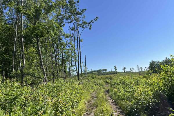
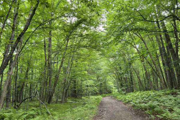
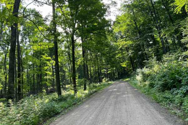
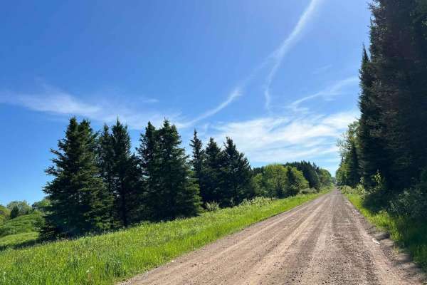
Forest County ATV/ SxS Loop 2 Bypass
This is a small detour that navigates further south from the main Loop 2 trail. This is a tight dirt two-track trail. This trail has a large portion of its length that navigates through an old cut block from when this section of forest was harvested. Thanks to the elevation of this region, this can ...
Learn more about Forest County ATV/ SxS Loop 2 Bypass
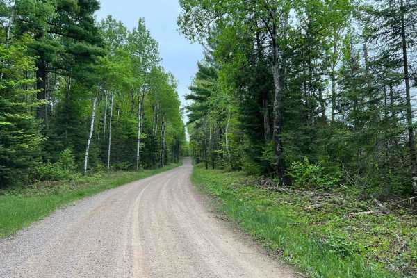
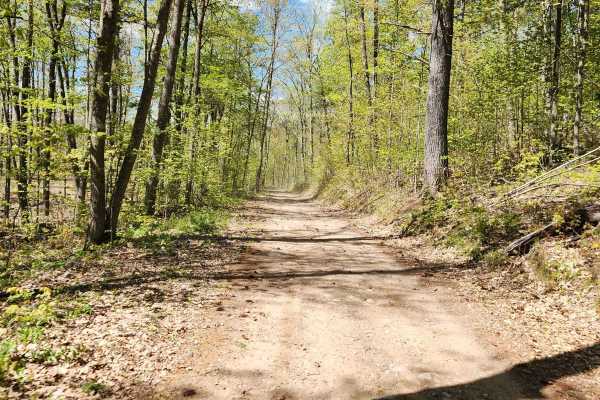
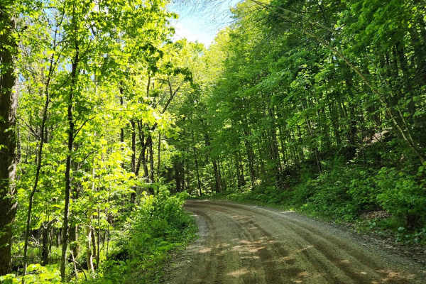
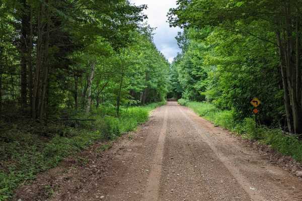
FS 2378
FS 2378 begins at its intersection with Otter Creek Road and navigates north to its end point at its intersection with County Road G. This trail is a moderately maintained forest road, with a mix of gravel and dirt for the base. The trail changes width several times, but there are a few sections of ...
Learn more about FS 2378
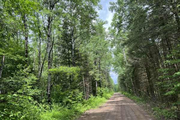
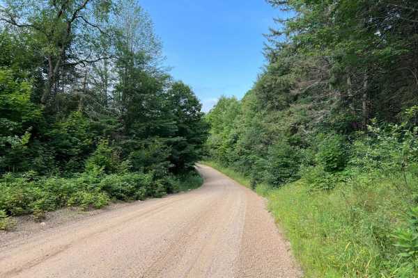
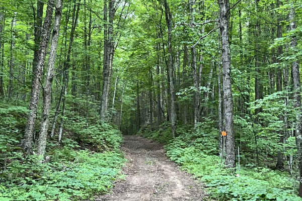
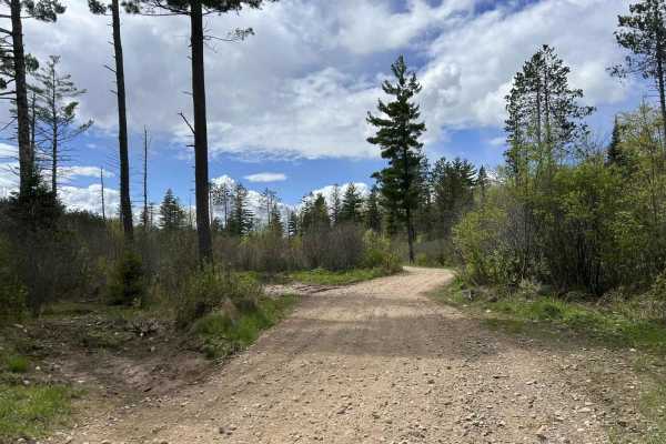
Otter Creek Road
Otter Creek Road/ Peshtigo River Road begins at its intersection with Highway 8 and runs south to north to its intersection with County Road P. This is a moderately maintained dirt/ gravel road which varies in width but is on average between 1 and 2 vehicles wide. Most areas of the trail will requir...
Learn more about Otter Creek Road
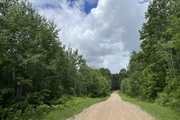
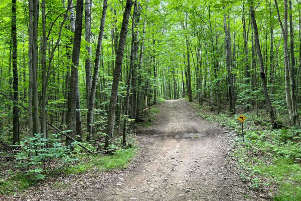
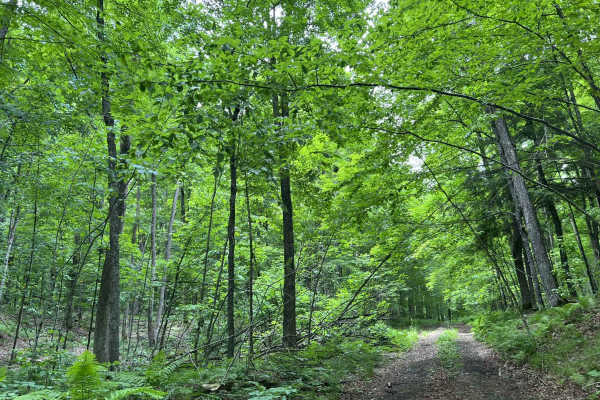
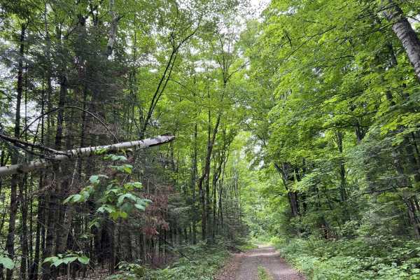
Wolf River Road Trail
This trail is a great multi-purpose trail accessible by both ATV/ SxS and full-size vehicles. This trail is a great access point to the north woods trails, as well as trails and forest roads contained within the Nicolet National Forest. The trail is a good mix of gradual rolling hills, as well as wi...
Learn more about Wolf River Road Trail
FS 2379
FS 2379 begins at its intersection with FS 2378 and navigates north to its intersection with Peshtigo River Road. This is a narrow, low-overhead clearance two-track trail. The trail's surface is mostly dirt with some small to medium-sized rocks protruding through the surface. There are several trees...
Learn more about FS 2379

Wolf River State Trail
This portion of the Wolf River State Trail will run from County Road Q into the town of Crandon. This portion of the railroad grade passes several residential areas with a posted speed limit of 10 MPH to help with dust control. There are also several great viewing spots to overlook Lake Metonga. Sev...
Learn more about Wolf River State Trail
Bushafer 3876
This trail has an easy-going gravel and dirt base and will be greatly enjoyed by anyone traveling by ATV or SxS, though it's open to other road-going vehicles. It's a tight forest road with some of the most elevation changes in the area. A winding trail towards the beginning stretch, it straightens ...
Learn more about Bushafer 3876
Roberts Lake Road - FS 2144 - Northern Half
This is the northern portion of Roberts Lake - FR 2144. This trail contains a great mix of long sweeping corners and a few tighter turns throughout. Elevation changes are also frequent on this trail. While there is nothing that is super drastic. These elevation changes are very nice and create an ex...
Learn more about Roberts Lake Road - FS 2144 - Northern Half
Snowmobile Trl Lkln Forest 55541
This trail consists of a tight two-track running through tight twist hills. There is little area on either side of the trail for run-off or room to pull over. The trail has several small water/mudholes with an average depth of roughly 1 foot. This is a slow technical trail due to the width. There is...
Learn more about Snowmobile Trl Lkln Forest 55541
Borske Road - FS 2366
This trail is a great trailhead for several other forest road trails in this area. With direct access off Highway 32, it is very easily accessible for any road-legal vehicle. This trail is full of long sweeping corners, with slight elevation changes mixed throughout. Sightlines are good to excellent...
Learn more about Borske Road - FS 2366
Roberts Lake - FS 2144
This trail has a packed gravel base with areas of loose gravel. Traffic flows in both directions and the trail is fairly wide. There are plenty of areas to pull over on the side and take a break. Passing a few lakes, there are opportunities for some other recreation during your trip.
Learn more about Roberts Lake - FS 2144
FS 2376BA
FS 2376BA begins at its intersection with FS 2376 and navigates to its intersection with FS 2613. This is a tight two-track forest road; portions of this trail were originally converted from an old railroad grade, which means a good amount of the trail is elevated above the surrounding forest. It al...
Learn more about FS 2376BA
FS 2613
FS 2613 is a short spur trail that navigates from FS 2376 to FS 2376BA. The terrain on this trail is similar to that of other trails in this region. This is a two-track dirt trail with small to medium-sized rocks that protrude through the trail surface. There is a good mix of elevation and elevation...
Learn more about FS 2613
Double Bend FR 2166
This route runs from Highway 55 just north of the town of Argonne to the town of Newald, where the Nicolet National Trail intersects it (ATV/SxS use only). Entering this trail from Highway 55, this trail starts as straight wide-open gravel lanes. There are good elevation changes and sight lines are ...
Learn more about Double Bend FR 2166
The Wolf - Jungle Lake Stretch
North of Woodlawn past Jungle Lake, this is part of the Wolf River Trail system. Mostly gravel with some large rocks mixed in and running north/south, this trail has a ton of spurs that can be taken. Even in this short stretch, they're just waiting to be explored. The trail itself is mostly flat and...
Learn more about The Wolf - Jungle Lake Stretch
Starks Settlement Road Nicolet State Trail Access
This is a very short access trail that will lead to or from the Nicolet State Trail. This trail also provides access to Roberts Lake Road - FS 2144 - Northern Half via Stark Settlement Rd. The trail travels through mostly lowland marsh, which can become muddy after recent rainfall. The scenery is mo...
Learn more about Starks Settlement Road Nicolet State Trail Access
FS 2376
FS 2376 is a there-and-back style trail which is accessed from its intersection with Highway 8. This trail has several offshoots along its way that can be used for some different scenery on either the way there or back. This trail has several different riding experiences depending on what portion of...
Learn more about FS 2376
Crandon Highway 8 Trail
This ATV/ SxS trail runs from the town of Crandon to the town of Monico alongside US Highway 8. This trail serves as a great access point to the Crandon area trail systems, as well as the Enterprise/ Pelican Lake, and Harrison Hills Trails. This trail has several speed-restricted areas along the way...
Learn more about Crandon Highway 8 Trail
FR 2183 Eastern Section
This trail is the eastern portion of Forest Road 2183. This trail is wide with mostly long flowing corners. Elevation changes are subtle, noticeable, and enjoyable with a few larger elevation changes mixed in as well. This trail remains wide with exceptional sight lines throughout. The trail surface...
Learn more about FR 2183 Eastern Section
Tour Road
The route takes you through the Pelican River Forest in the North Woods of Wisconsin. The Pelican River Forest is privately owned by The Conservation Fund and open for public use when the gates are open and the roads are passable. This route loops from US 45 to the east back to US 45 on a gentle rol...
Learn more about Tour Road
Beginner ATV trails near Crandon, Wisconsin
Explore ATV-friendly trails near you. These trails are accessible for vehicles up to 50 inches wide, perfect for ATVs and smaller off-road machines.
Forest County ATV/ SxS Loop 2 Bypass
This is a small detour that navigates further south from the main Loop 2 trail. This is a tight dirt two-track trail. This trail has a large portion of its length that navigates through an old cut block from when this section of forest was harvested. Thanks to the elevation of this region, this can ...
Learn more about Forest County ATV/ SxS Loop 2 Bypass
FS 2378
FS 2378 begins at its intersection with Otter Creek Road and navigates north to its end point at its intersection with County Road G. This trail is a moderately maintained forest road, with a mix of gravel and dirt for the base. The trail changes width several times, but there are a few sections of ...
Learn more about FS 2378
Otter Creek Road
Otter Creek Road/ Peshtigo River Road begins at its intersection with Highway 8 and runs south to north to its intersection with County Road P. This is a moderately maintained dirt/ gravel road which varies in width but is on average between 1 and 2 vehicles wide. Most areas of the trail will requir...
Learn more about Otter Creek Road
Wolf River Road Trail
This trail is a great multi-purpose trail accessible by both ATV/ SxS and full-size vehicles. This trail is a great access point to the north woods trails, as well as trails and forest roads contained within the Nicolet National Forest. The trail is a good mix of gradual rolling hills, as well as wi...
Learn more about Wolf River Road Trail
Beginner UTV/side-by-side trails near Crandon, Wisconsin
Find UTV and side-by-side trails near you. These trails accommodate vehicles up to 60 inches wide, ideal for UTVs, side-by-sides, and wider off-road rigs.
Forest County ATV/ SxS Loop 2 Bypass
This is a small detour that navigates further south from the main Loop 2 trail. This is a tight dirt two-track trail. This trail has a large portion of its length that navigates through an old cut block from when this section of forest was harvested. Thanks to the elevation of this region, this can ...
Learn more about Forest County ATV/ SxS Loop 2 Bypass
FS 2378
FS 2378 begins at its intersection with Otter Creek Road and navigates north to its end point at its intersection with County Road G. This trail is a moderately maintained forest road, with a mix of gravel and dirt for the base. The trail changes width several times, but there are a few sections of ...
Learn more about FS 2378
Otter Creek Road
Otter Creek Road/ Peshtigo River Road begins at its intersection with Highway 8 and runs south to north to its intersection with County Road P. This is a moderately maintained dirt/ gravel road which varies in width but is on average between 1 and 2 vehicles wide. Most areas of the trail will requir...
Learn more about Otter Creek Road
Wolf River Road Trail
This trail is a great multi-purpose trail accessible by both ATV/ SxS and full-size vehicles. This trail is a great access point to the north woods trails, as well as trails and forest roads contained within the Nicolet National Forest. The trail is a good mix of gradual rolling hills, as well as wi...
Learn more about Wolf River Road Trail
The onX Offroad Difference
onX Offroad combines trail photos, descriptions, difficulty ratings, width restrictions, seasonality, and more in a user-friendly interface. Available on all devices, with offline access and full compatibility with CarPlay and Android Auto. Discover what you're missing today!
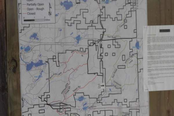
Open Trail Map