Trail Overview
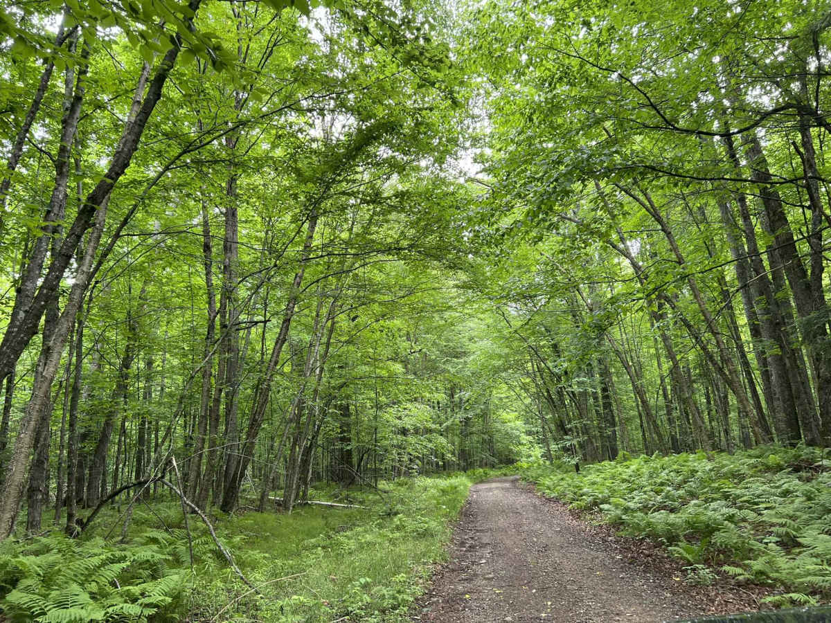
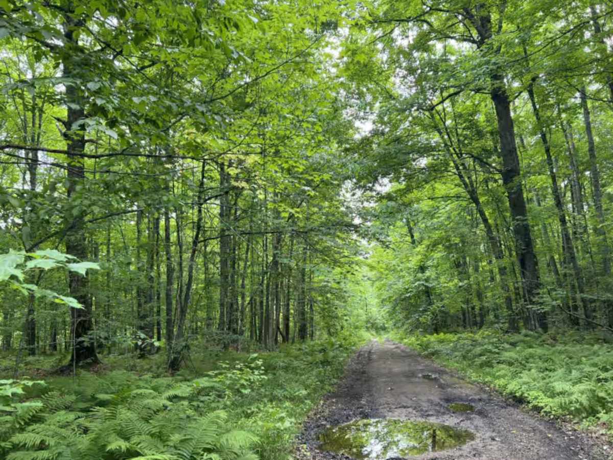
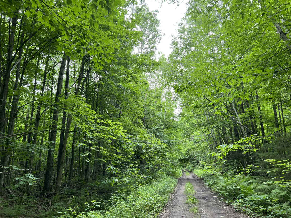
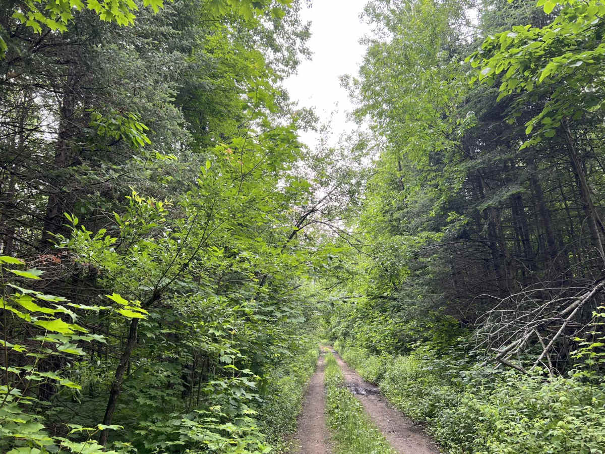
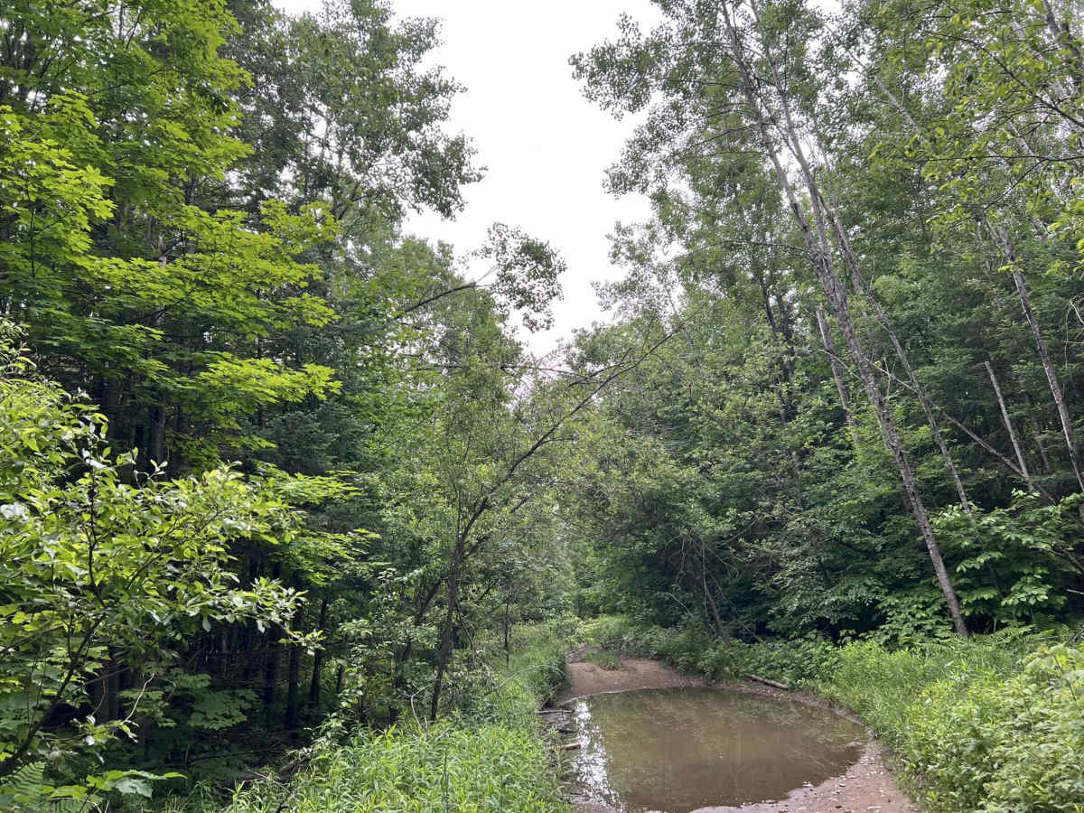
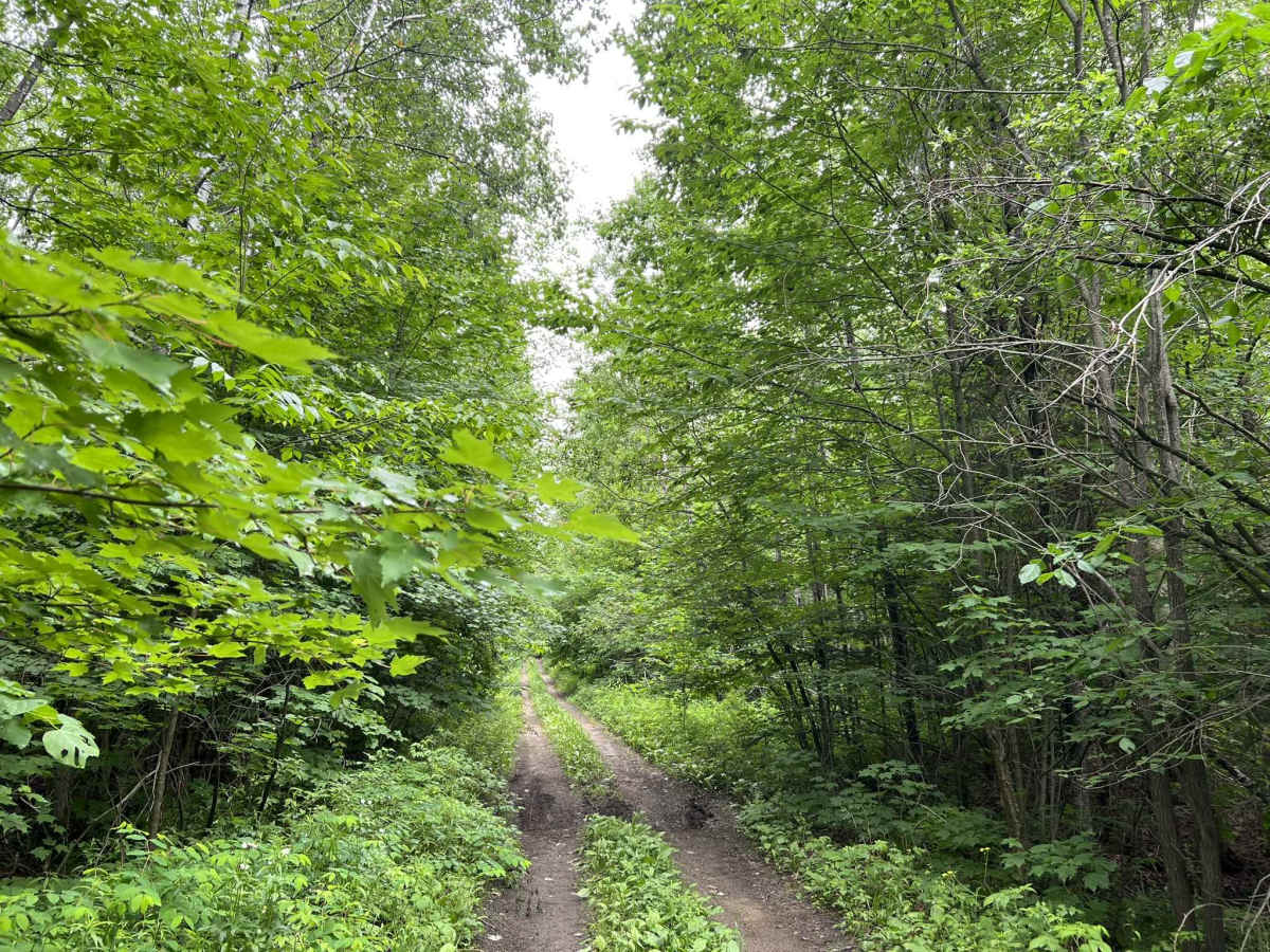
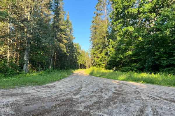
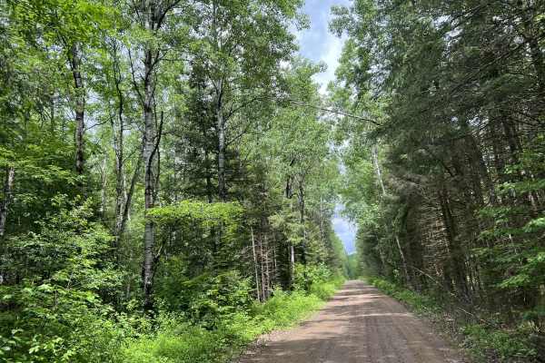
FS 2379 begins at its intersection with FS 2378 and navigates north to its intersection with Peshtigo River Road. This is a narrow, low-overhead clearance two-track trail. The trail's surface is mostly dirt with some small to medium-sized rocks protruding through the surface. There are several trees that are down over the top of the trail, which creates the low overhead. Any vehicle under 7 - 8 feet tall should be able to navigate this trail. The trail is a good mix of mild rolling hills thanks to the surrounding landscape. The forest around this trail is very dense, creating a canopy above the trail that allows very little light to penetrate to the trail. However, this means there is very little undergrowth on the forest floor, allowing for excellent sight lines and views of the surrounding area. Several low areas will collect water after a rainstorm and turn into water spots/ mud holes. Several drainages from the forest lead to this trail. This can lead to increased water on the trail surface during or after a rainstorm and could also push debris from the forest onto the trail. Cell coverage in this area is okay but can be spotty at times due to increased demand on the local towers during peak summer months. Downloaded maps should be considered before traveling.
Difficulty
This is an easy-to-moderate trail that anyone can complete. The most challenging part of the trail comes in the way of the water/ mud holes located throughout the trail. Taller vehicles will also be challenged as they navigate around the trees that are downed and overhang the trail. Sight lines are good, and traction on the trail surface also remains okay to good even in wetter periods due to the exposed rocks.