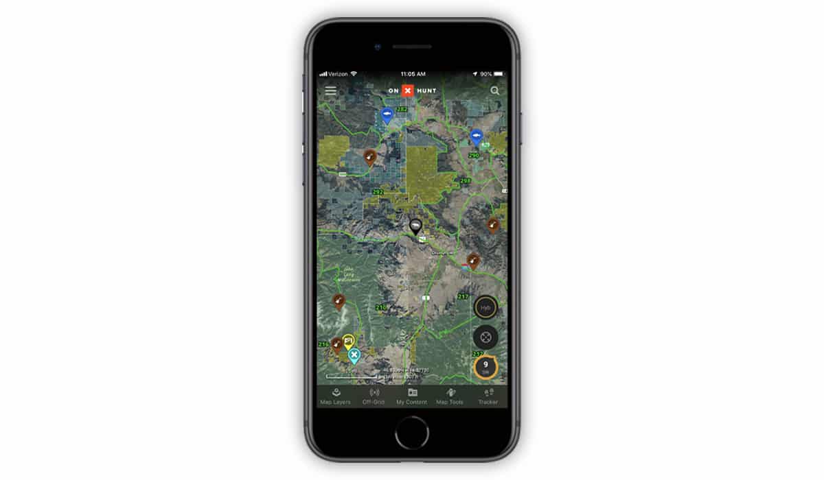
Curious about the best way to keep your Waypoints, lines, shapes, tracks, and various details organized within the onX Hunt App? Are you using onX in multiple states, and need to find a way to sort and organize your information?
One of the most-asked questions our Customer Success team receives this time of year is “How do I organize or manage my map markups in the Hunt App?” Summer is a busy time of year; as people gather their information and prepare for hunting season—and get in some good, old-fashioned playtime in the great outdoors—it’s easy to mark a plethora of places on your map and then quickly lose organization.
When you’re in the field, the last thing you want to deal with is wading through an overwhelming number of disorganized markups. You need to have the ability to quickly sort through your information on the Hunt App and find the answers you’re looking for, so you can get back to doing what you do best—chasing adventures.
Color-Coded Waypoints
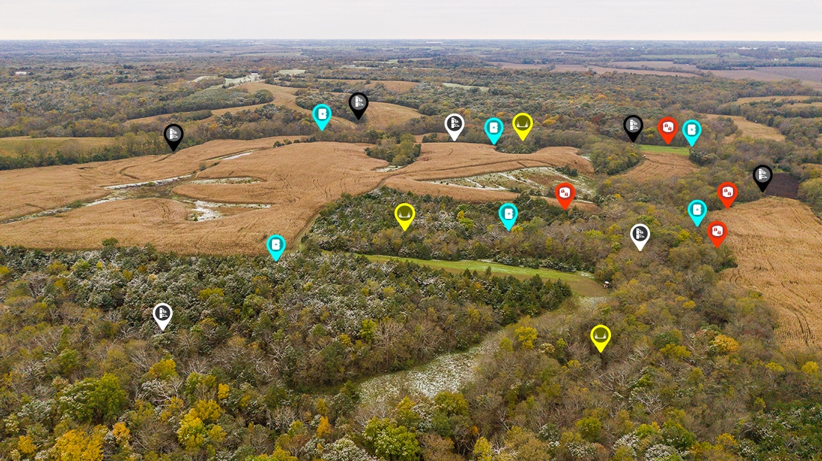
We all have our own ways of organizing our information. We recently added a new Colored Waypoints feature (and many new Waypoints) that allows you to color-code your Waypoints, ensuring you can craft your own system to then organize and easily find your information.

“I designated certain colors to certain icons,” shares Zach Condon, an onX Customer Success Technician in Missoula. “ Any river access or fishing spots are blue elk/deer are brown, mountain goats are white, etc. Pretty straightforward. As we get deeper into the Montana summer and my various hobbies like floating, trail running and scouting start to intertwine, these different colors and icons become invaluable to me.”
Decide what kind of system you’d like to use for your own markups. Maybe you use color-coding for certain Waypoints, like Zach did above. You could choose to assign each year a particular color, so you can compare year-to-year data and see game movement patterns. Markups are also a valuable tool for land management: Hunters can use the shape tool to mark a food plot, measure their hike with tracks, and draw point-to-point lines to measure distance.
onX Marketing Specialist Jared Larsen finds the new colored Waypoints a useful tool for organizing land management markups. “As a whitetail hunter, the recent addition of colored Waypoints has made a world of difference when managing my farm with the Hunt App,” he notes. “The ability to mark predominantly morning and evening stand locations, trail cameras, and each type of sign with different colors allows me to piece together the whitetail puzzle that much more easily.”

Organize “My Content”
We have a complete article detailing how to manage your “My Content” menu here. This menu is where all your personalized content lives—Waypoints, lines, shapes, and tracks. From here, you can display or hide these markings on your map.
The onX “My Content” Menu lets you sort markups by either date or by type (Waypoint, line, shape, or track). Read through “Hunt App—My Content Menu” for step-by-step instructions on how to sort your content.
Want to Learn More?
- How to Create and Edit Waypoints
- How to Make a Back-up of Your Waypoints, Lines, Shapes and Tracks
- Overview of the Map Tools Menu
- How to Use the onX Hunt App
Don’t already have the best hunting app for yourself? Try it free for 7 days today.