Get the ultimate backcountry ski and hike navigation app. onX Backcountry was designed for real decision-making: 3D Offline, LiDAR-based topo, avalanche terrain maps. Save 60% on onX Backcountry and a portion of every purchase goes to local avalanche centers.
Don’t miss out – Our biggest sale of the year ends in
More Than a Map
Lock in our best price of the year on onX Backcountry during the Support Your Forecast Sale. Limited-time discount, same full-featured app.
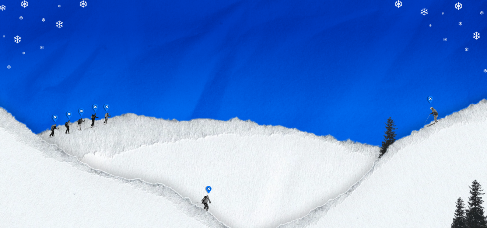
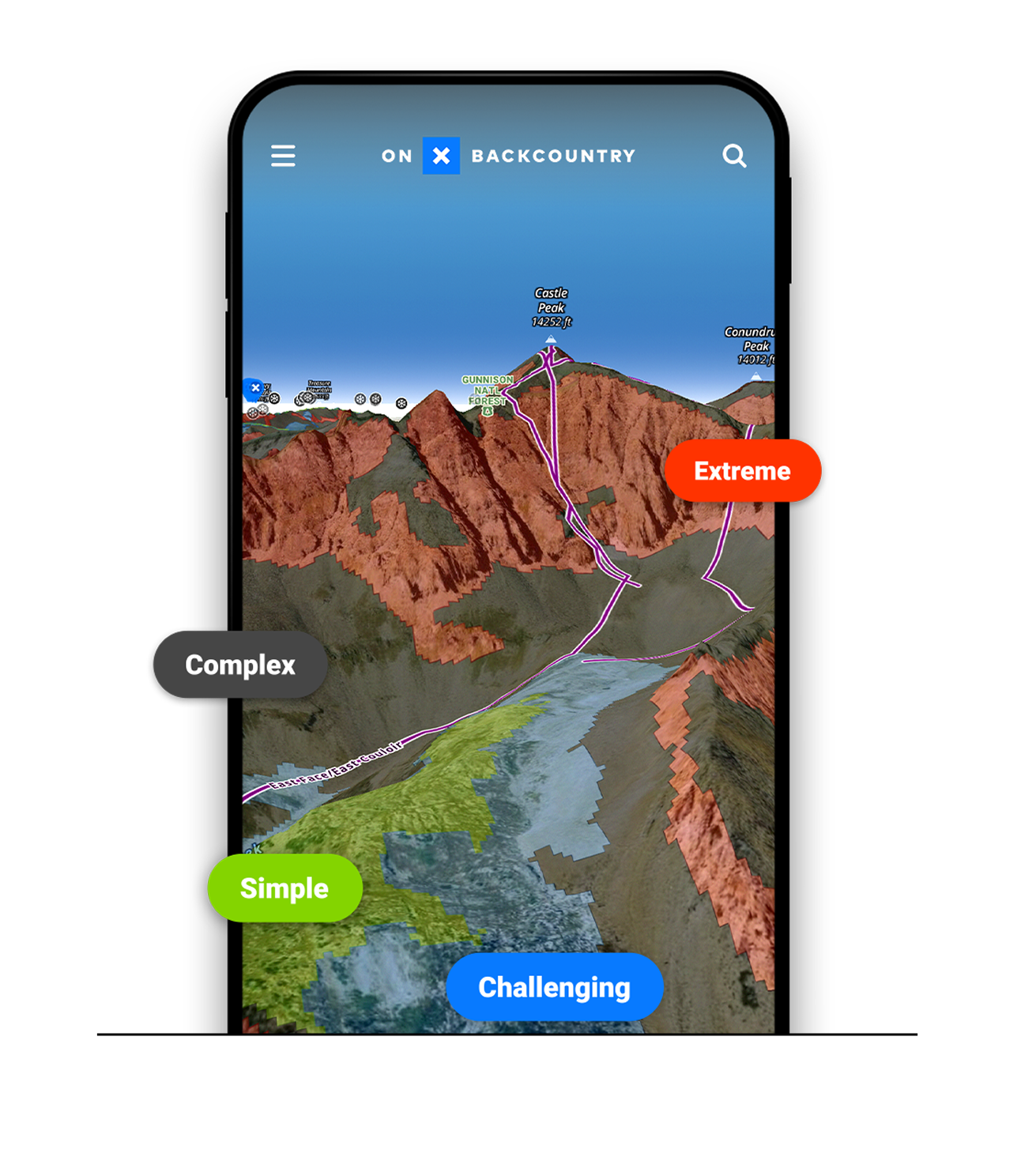
onX Backcountry is built for ski touring and splitboarding. The only app with Offline 3D and LiDAR-based Topo, Avalanche Terrain Exposure Scale (ATES) maps, Avalanche Simulator, Snow Imagery, Recent Imagery, new expert-built Beacon Routes, real-time weather and communication layers and so much more. Never guess what you’re standing in or heading toward.

A portion of every purchase goes to support local avalanche centers
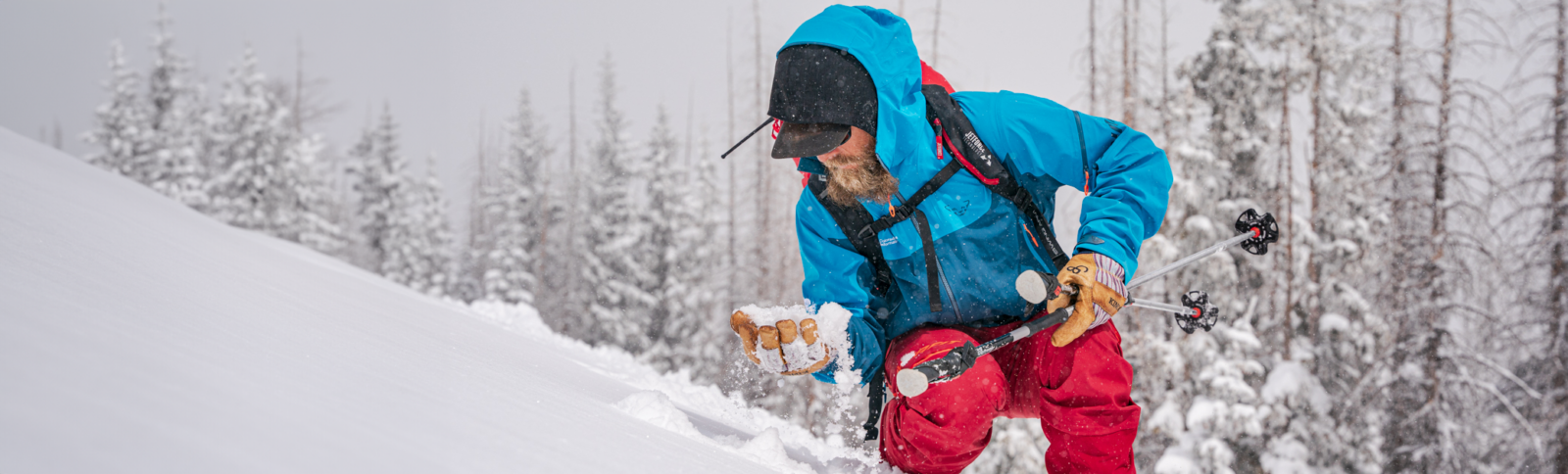
Avalanche centers are the backbone of backcountry decision-making. During this sale, a portion of every purchase goes to support local avalanche centers.
What You Get With onX Backcountry

Offline on Purpose
View and understand complex terrain clearly, with vivid, LiDAR-based topo, 3D maps, slope angle and slope aspect—just download to access offline for total in-field confidence.
Plan Smart with ATES and Avalanche Simulator
Understand terrain exposure and evaluate avalanche risks more intuitively. ATES ratings and the Avalanche Simulator provide vital clarity when making critical decisions before and during your tour. Learn More.

Easily Transition Base Maps
Switch between Snow Imagery, Recent Satellite Imagery, Hybrid, and Topo layers while planning your tour, ensuring you have the best possible view of the terrain ahead.

Never Get Lost
Always know exactly where you are and what’s ahead. Navigate confidently with precise GPS positioning, detailed offline terrain, and clearly market routes. Even when weather or plans change Learn More.
Discover New Ski Tours
Access expert-built Beacon Routes, complete with clear decision points, detailed terrain insights, and reliable beta. Discover new objectives in Mount Rainier, Mount St. Helens, Mount Adams, Silverton, Vail Pass, and beyond. Learn More

Create & Save Custom Routes
Use the Route Builder tool to create, save, and share your own custom routes using trails and paths on the map with just a few clicks of a button.

Safety Note
onX Backcountry is a planning and navigation tool. Always get avalanche training and check local forecasts before traveling in avalanche terrain.