SE Face of Mt Columbia
In year four of Cody Townsend’s “The Fifty Project,” we’re showcasing his lines and route descriptions in onX Backcountry. Go deeper on The Fifty Project and get the beta from Cody on how he plans, executes, and accomplishes these 50 descents.
Watch The Fifty: SE Face of Mt Columbia
Skiing the epicenter of water in North America, the highest peak in Alberta…in a full blown white out. A marathon of a day for the last line of Year 4 of The FIFTY.
View Cody’s Line in onX Backcountry
Below is an interactive map of Cody’s line for the SE Face of Mt Colubmia. Use Control + Drag to rotate in 3D on desktop or two fingers to pinch, zoom and rotate on mobile. Login or create an account to gain full functionality.
The Fifty Project Guidebook: SE Face of Mt Columbia
onX Backcountry has partnered with Cody Townsend to bring you guidebook quality descriptions of routes in The Fifty Project from Cody himself. Read his beta on the SE Face of Mt Columbia. Start your free trial of onX Backcountry today to view these lines and descriptions in the App.
Overview
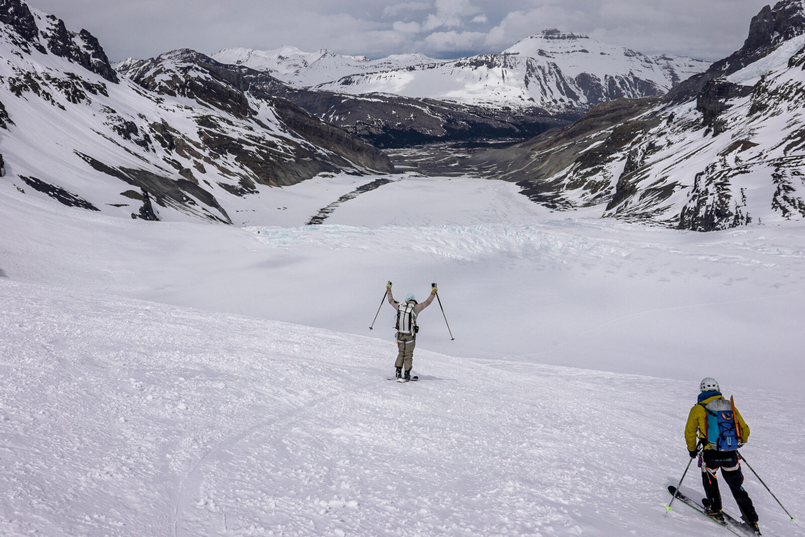
The hydrological apex of North America. This line passes through and on top of one of, if not the only, Triple Continental Divides in the world where three major rivers start and flow to three different oceans. The highest mountain entirely in Alberta, Mt. Columbia is a very long walk away from the Columbia Icefields Parkway. The challenge is mainly in evaluating and timing weather conditions as Mt. Columbia itself can be it’s own generator of unique weather. The marathon of mileage and 8000 vert can be done in a day by those fit enough and fast enough to accomplish. But most do this line as a multi-day excursion. This line is more about the travel and where you are in the world than extraordinary skiing.
Photo: @the.fifty.project
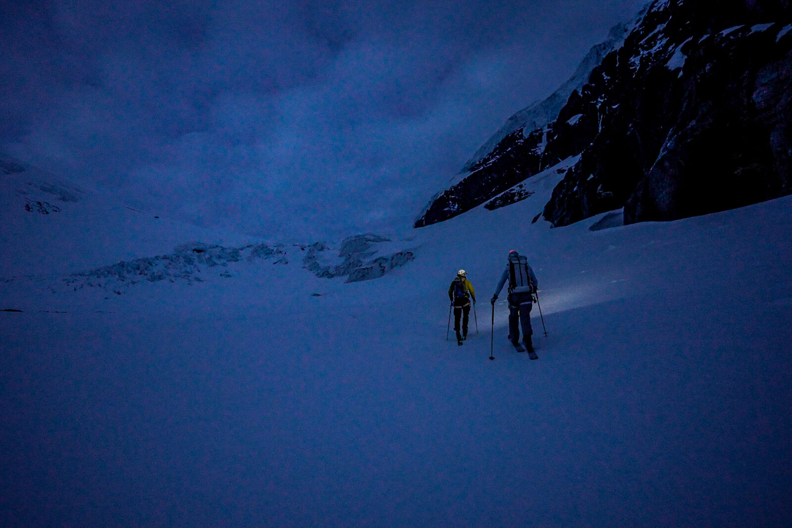
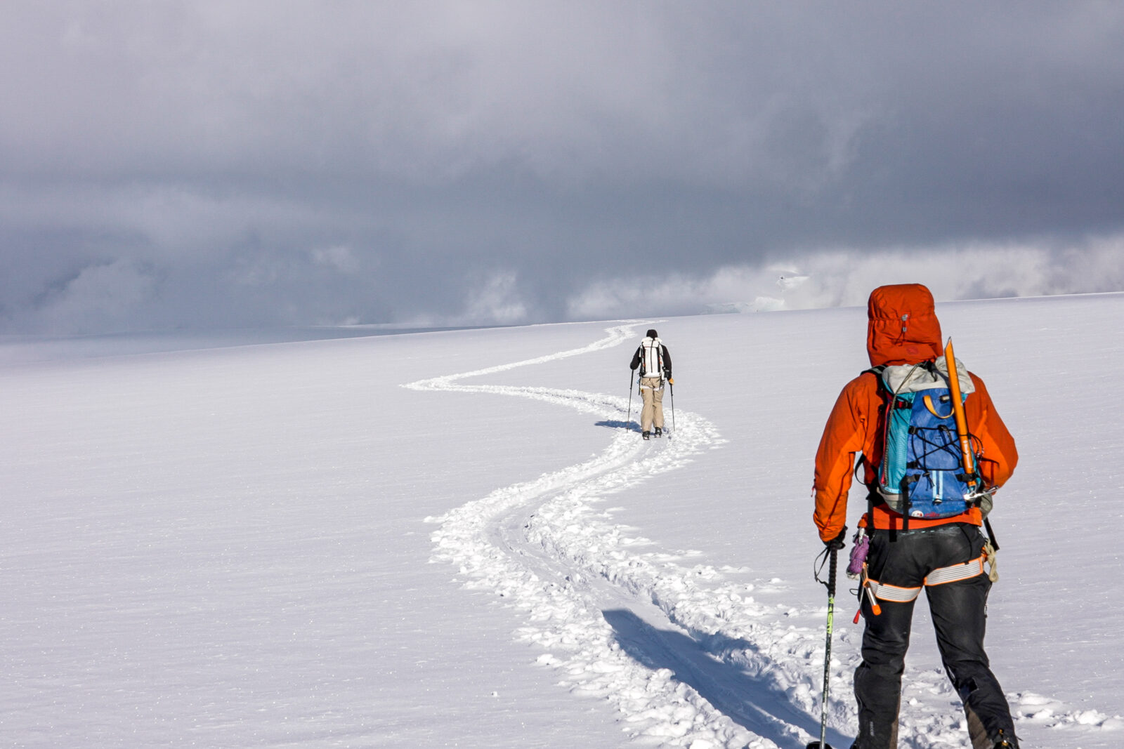
Ascent Description
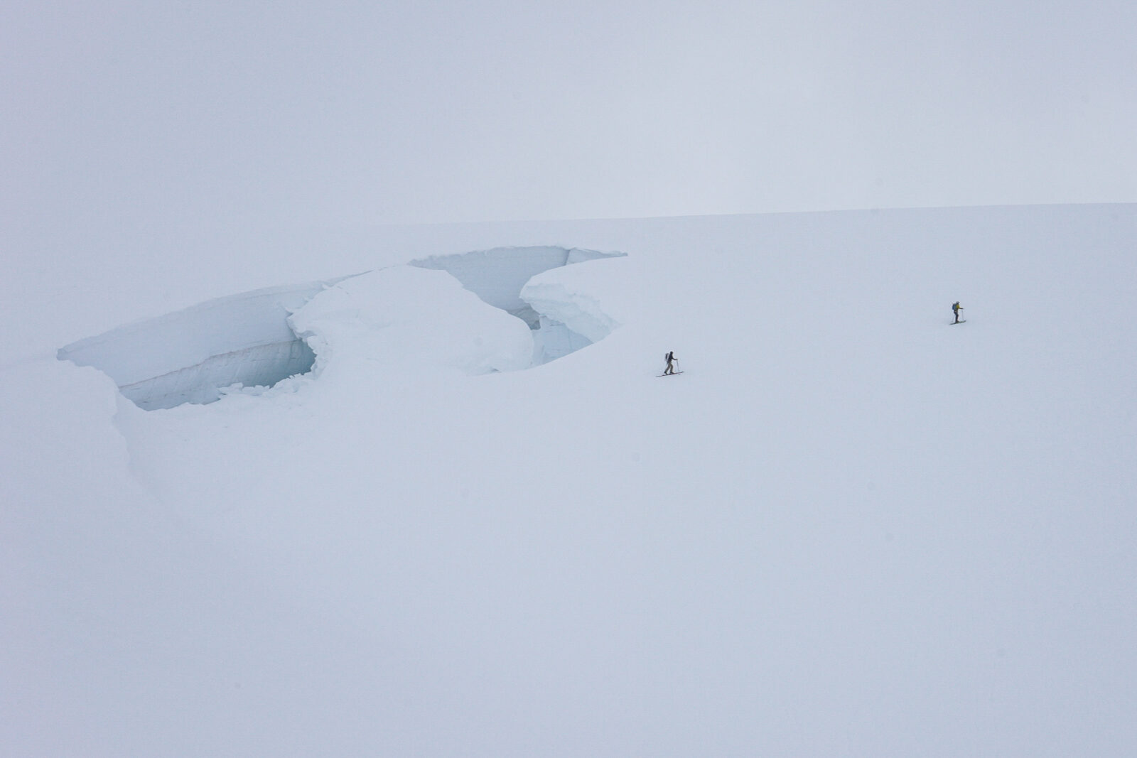
The ascent starts at the tongue of the Athabasca glacier, scarily passes under the often falling seracs of Snow Dome and takes a straight but very long shot through the ice fields of the triple continental divide. About 13 miles in, the ascent up the glaciated SE Face of Mt. Columbia begins. A little bit of crevasse crossing and bergshrund crossing is required to make the bootpack ascent to the top of Mt. Columbia.
Photo: @the.fifty.project
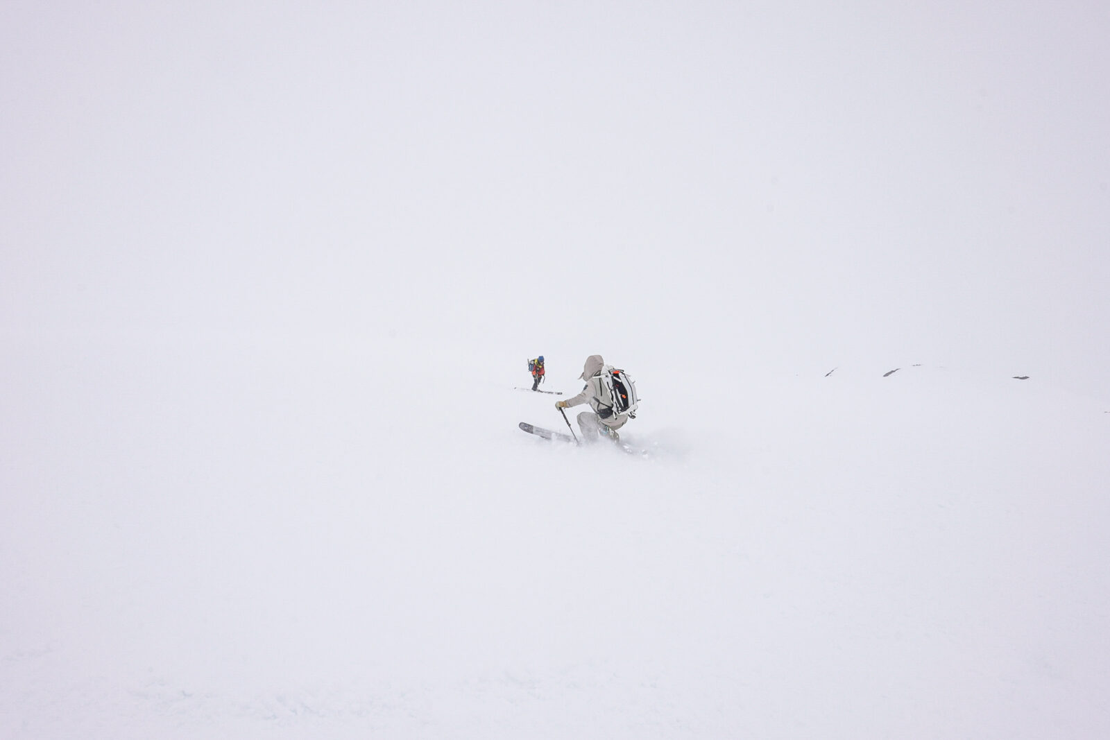
The Descent
The descent is steep, fun and a little bit short considering the distance it takes to get to. But if the conditions are right, it is a worthwhile and fun ski.
Photo: @The.Fifty.Project
Hazards
The ascent’s main hazard is crossing under the Snow Dome seracs on the Athabasca Glacier. The serac fall is often, frequent and unpredictable. Speed, spacing out and pure luck is required to pass through safely. If taking another route, extreme crevasse navigation is required. The other main hazards are avalanches on the SE Face of Columbia along with unpredictable and blinding white out storms that can envelope you in moments.
Photo: @the.fifty.project
Exit
The exit follows your exit ascent route and is not all downhill. Many hours of skinning is required after your descent of the SE Face of Columbia. Be prepared physically, mentally and provisionally for a long exit.
Photo: @The.Fifty.Projet
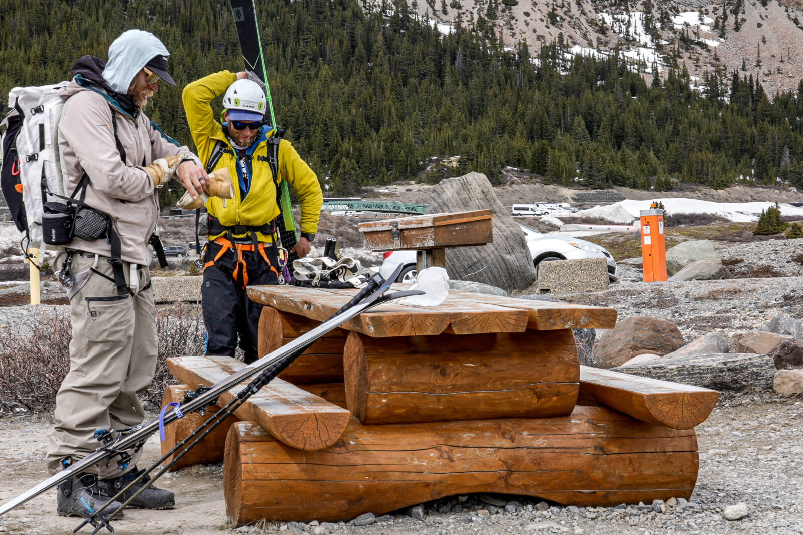
Access
Access is at the Columbia Icefields Center. Easy and plentiful parking as well as overnight parking exists. National Park passes are required for entrance.
Photo: @the.fifty.project
Try onX Backcountry for free for 7 days.