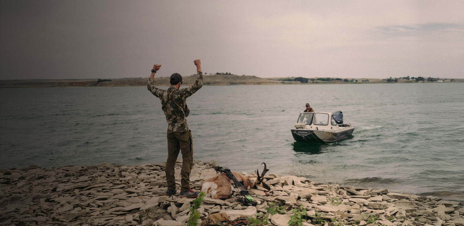
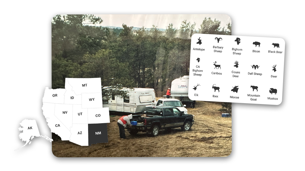
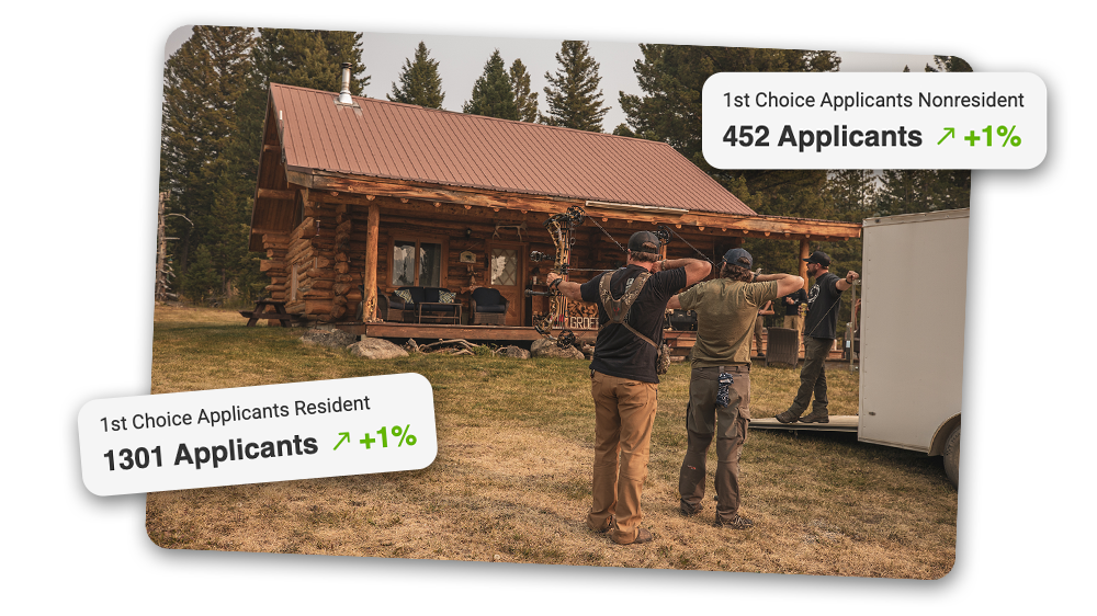
Drawing a mountain goat tag is a once-in-a-lifetime thrill, and this year, the excitement doubled when a friend drew the same tag—two tags, four close friends, and the chance to hunt together in the high country.
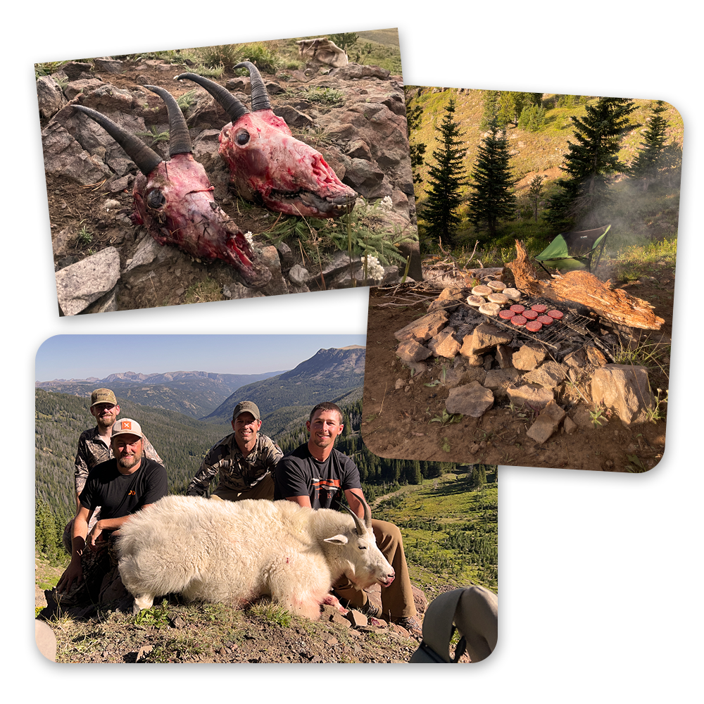
We pushed deep into the wilderness, navigating cliffs and rugged terrain, fully committed to the challenge of pursuing these elusive animals. On back-to-back days, we both harvested mountain goats, testing our endurance and skill to the limit. The shared success in such a demanding environment made the experience one we’ll never forget. – Matt Seidel