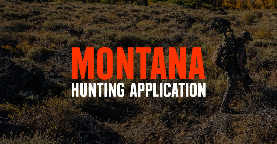
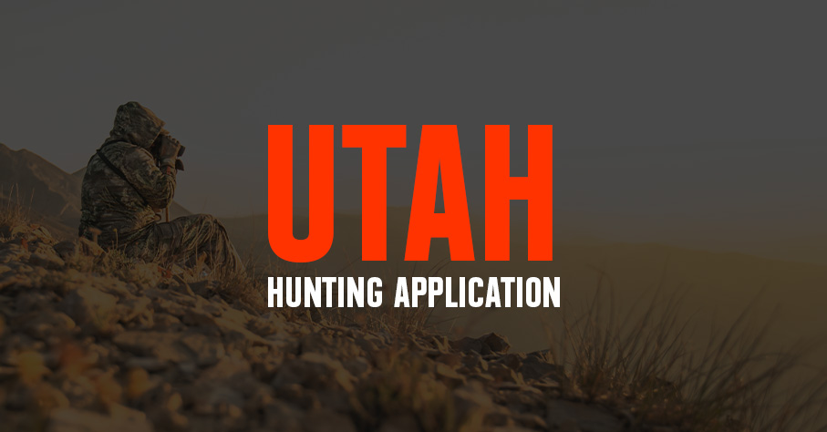
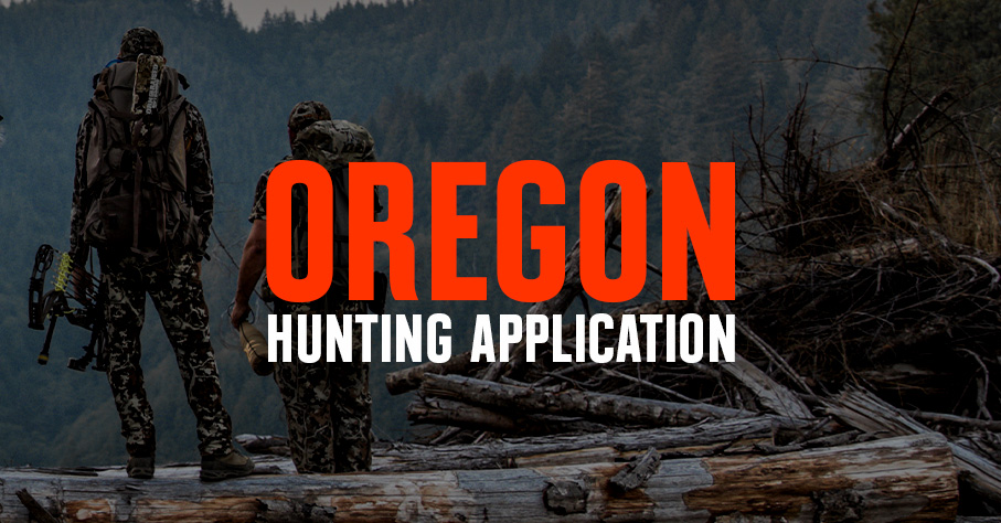
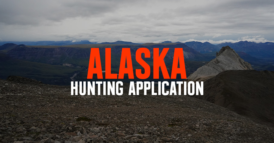
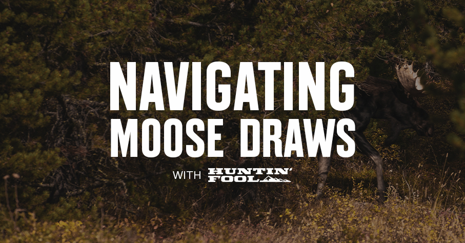
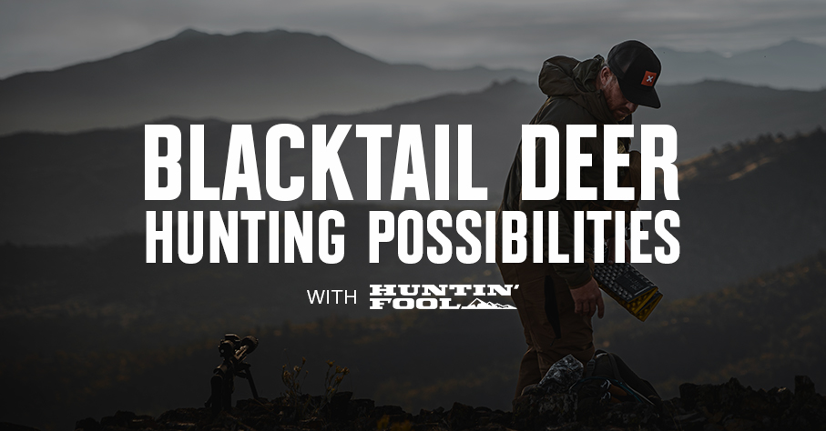
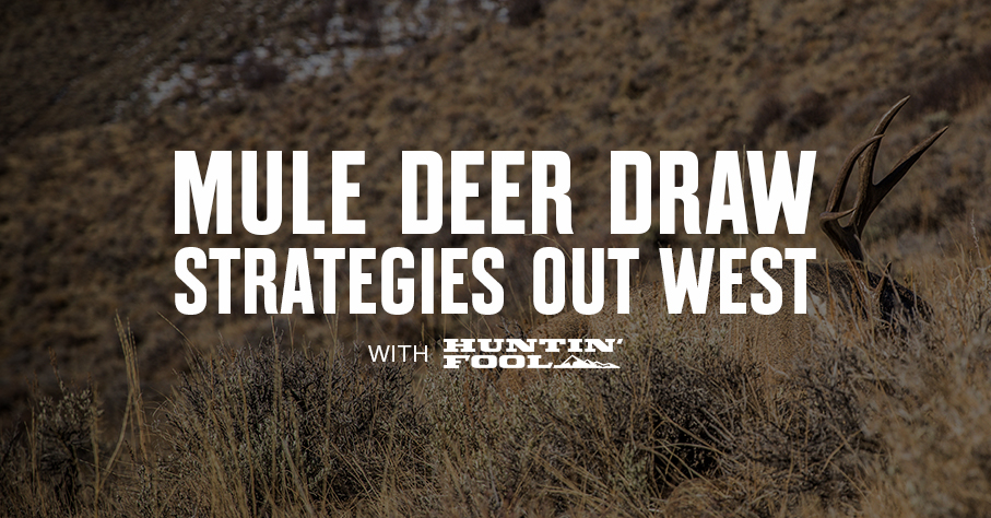
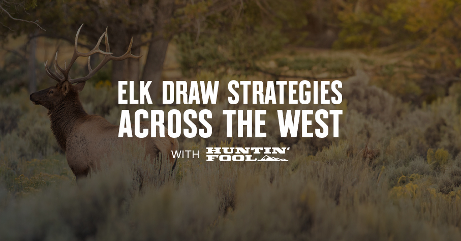
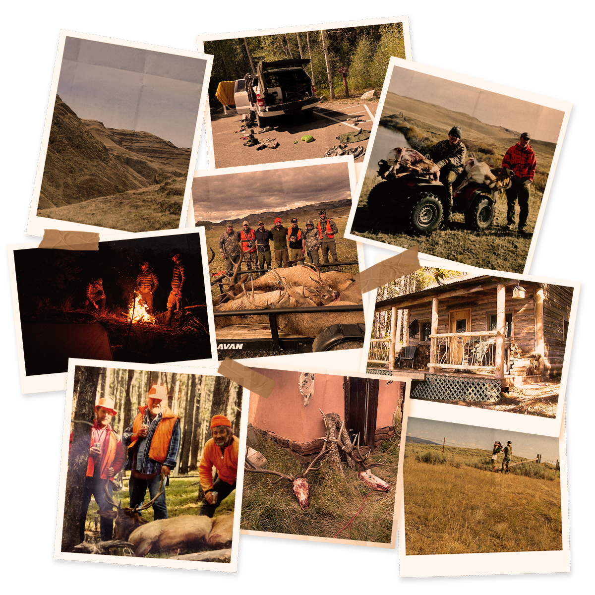
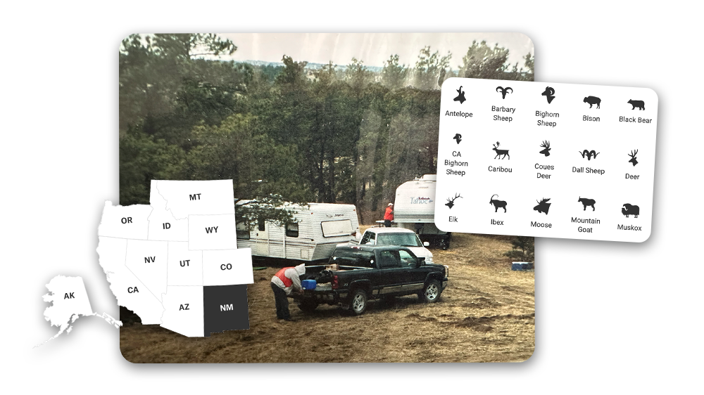
STATE DIGESTS
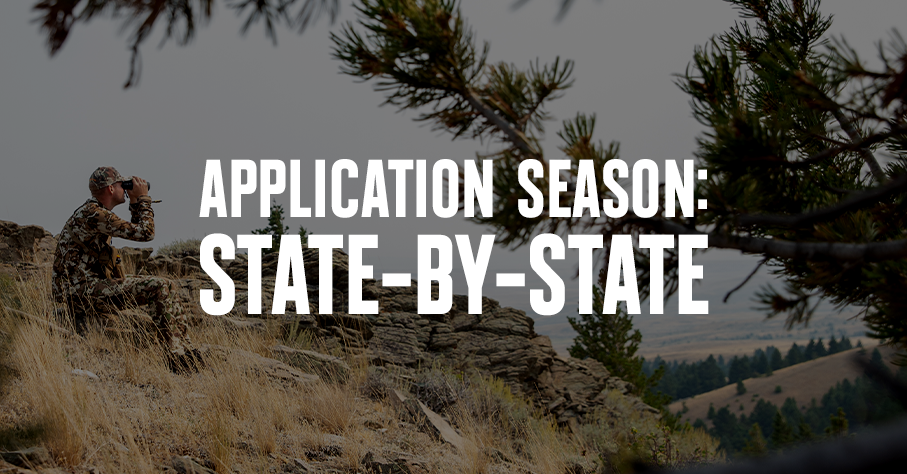
Prep for the Draw
Every state is different and draw processes change year to year. Huntin’ Fool’s state breakdowns give you the high-level info you need to plan a season that takes you where you want to go.


Draw odds, deadlines, trusted insights, and the best maps in hunting—all in one membership to make the most of your season.
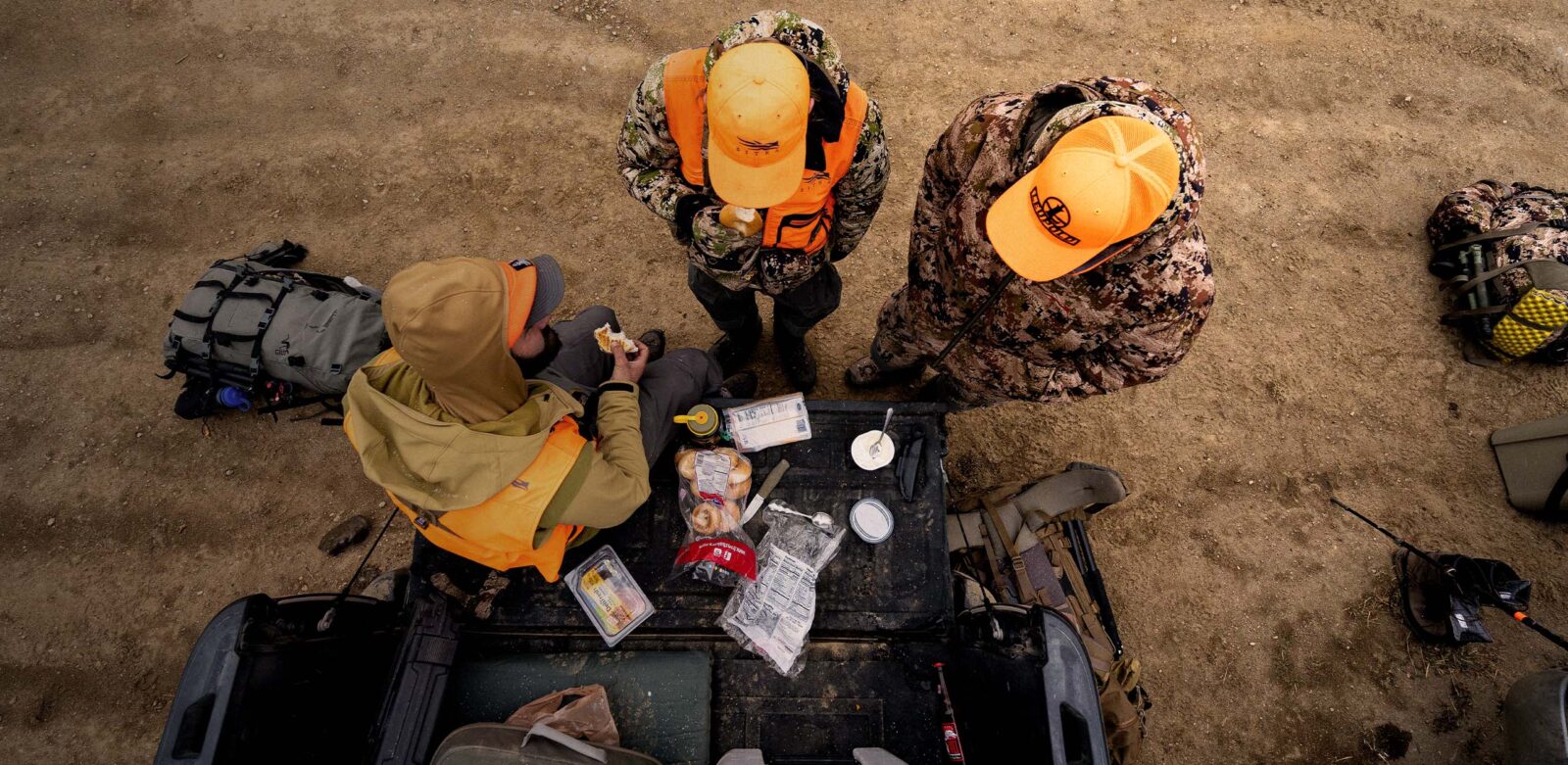
Application season’s a mix of luck and legwork. You can’t control the draw, but you can control how prepared you are. Whether you’re chasing a once-in-a-lifetime hunt or just looking to fill the freezer, your season starts here. With an Elite Membership, you get:
One membership. Every tool you need to make 2026 the year.
Every hunter’s season looks different. onX Hunt Elite’s application season tools help you research, draw, and hunt with precision.
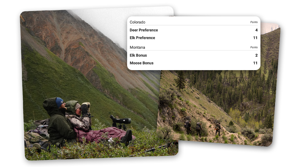
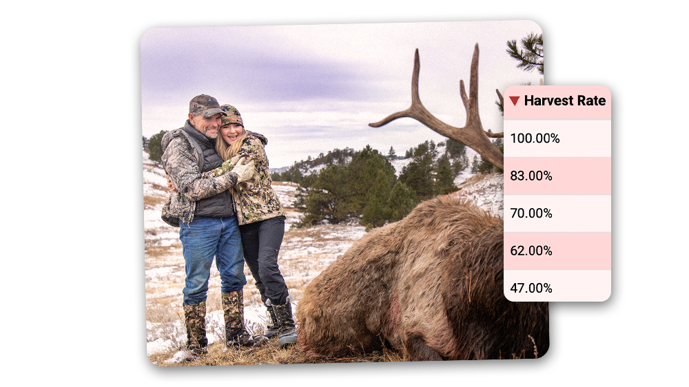
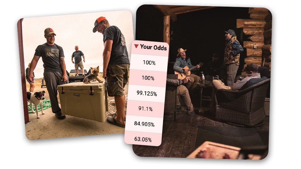
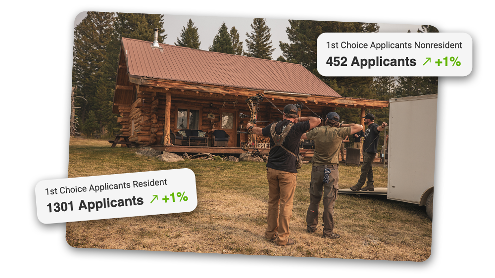
Application season moves fast. With an Elite Membership, use Huntin’ Fool to inform your strategy, Hunt Research Tools to find the hunts that fit your points, and HuntReminder to set deadline alerts.
| Date | State | Species/Residency |
|---|---|---|
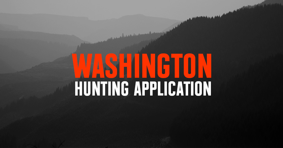
| June 1, 2026 | Montana | Antelope |
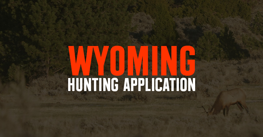
| June 1, 2026 | Wyoming | Deer, Antelope, Resident Elk |
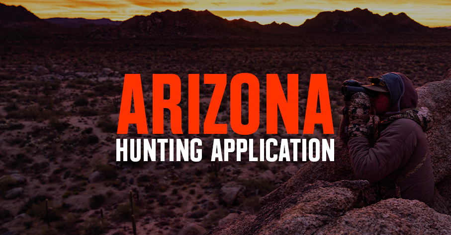
| June 2, 2026 | Arizona | Bighorn Sheep, Fall Bison, Deer |
| June 2, 2026 | California | All Species |
| June 5, 2026 | Idaho | Controlled Elk, Deer, Antelope |
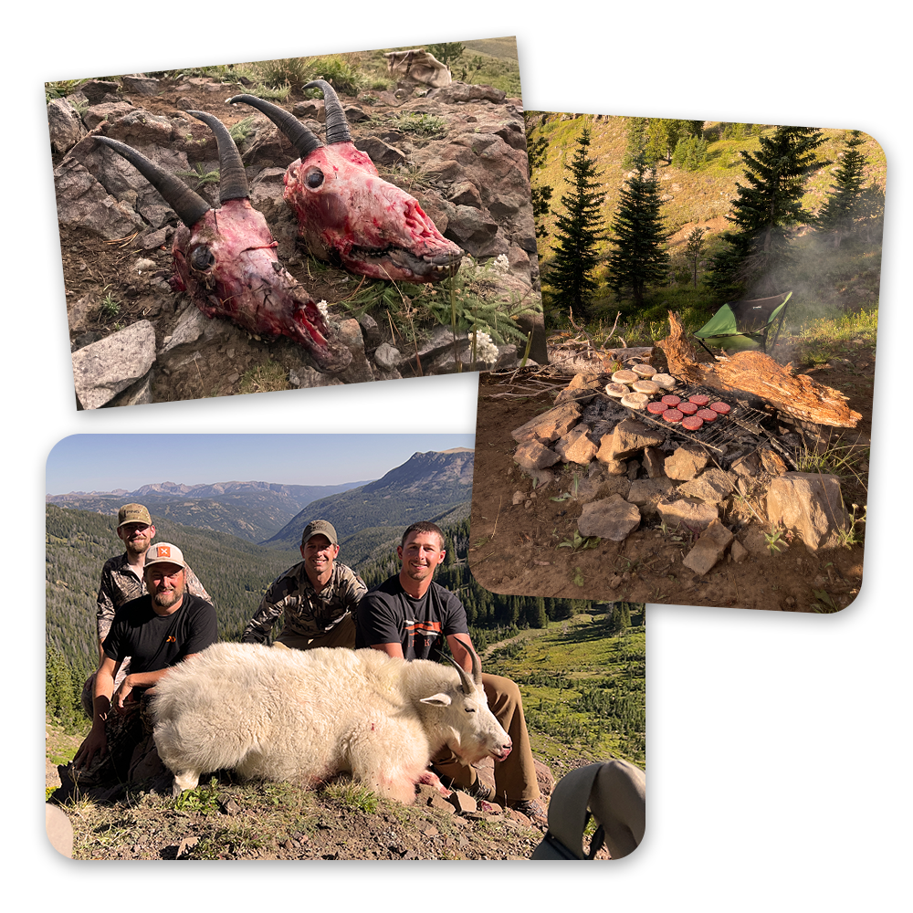
Drawing a mountain goat tag is a once-in-a-lifetime thrill, and this year, the excitement doubled when a friend drew the same tag—two tags, four close friends, and the chance to hunt together in the high country.
We pushed deep into the wilderness, navigating cliffs and rugged terrain, fully committed to the challenge of pursuing these elusive animals. On back-to-back days, we both harvested mountain goats, testing our endurance and skill to the limit. The shared success in such a demanding environment made the experience one we’ll never forget. – Matt Seidel