
Rugged Adventures Episode 14: Baja Backbone Route
With Legends Overlanding
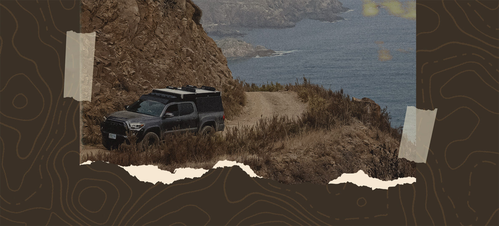
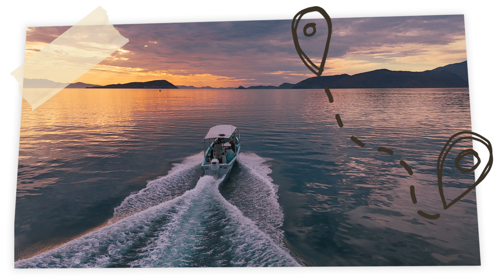
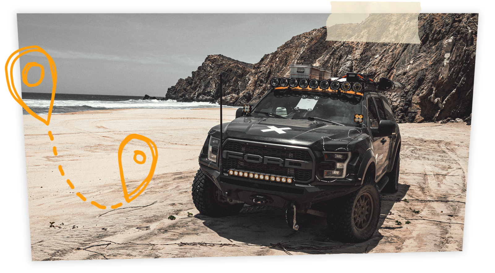
Prepare your rig, pack your courage, and join Legends Overlanding on a rugged journey down the Baja Backbone—a wild, ever-changing route that cuts through deserts, sierras, and forgotten coastline. This is a living expedition through the soul of Baja, where old mining tracks fade into cactus forests, and fishing villages cling to turquoise coves at the edge of nowhere. You’ll cross wind-carved arroyos, climb into the spine of the peninsula, and camp beneath skies so vast they swallow the horizon. Every mile carries a story—some carved by storms, others whispered by ranchers and wanderers who never left. Out here, every trail leads to discovery, and every turn reminds you why adventure still lives in Baja.
New onX Offroad Route:
Baja Backbone Route
The Baja Backbone
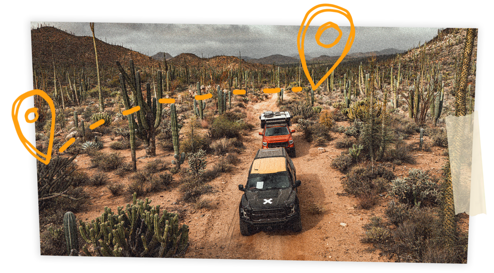
The Baja Backbone comes from 25 years of flat tires, busted shocks, and nearly 40,000 miles of dirt tracks explored on this wild peninsula. The idea was simple: build a route that works for everyone—from folks who haven’t caught the Baja Bug yet to the ones who can’t shake it.At just shy of 3,000 miles, we’ve broken it into three loops—Northern, Central, and Southern. Sure, you could muscle through each in a week, but I’d recommend two. A thousand miles in Baja can mean 30+ hours behind the wheel depending on what the roads look like.
A Living, Changing Route
Every year the Backbone changes. Pacific storms shred the north. Tropical systems hammer the south. Highway 1 will close at some point most years, but the government usually patches it quick. Off-road, it’s a different story.
Some years a stock 4×4 will carry you the whole way. Other years? Nobody’s getting through. How fast roads get fixed depends on what’s at the end. If there’s a fishing village or a mine, you’ll see a grader. If it’s an abandoned pit in the hills, don’t hold your breath.
Baja Regional Guide Tips
We’ve thrown in tips to help you along the way, but we’re not handing out secret camp spots. Baja isn’t meant to be given away in a checklist. Everyone has to make it their own adventure.
Practice your Spanish. The locals hold all the secrets, and the more you connect, the more gems you’ll uncover.
Why Ride the Backbone?
If you do one loop, you’ll be hooked. Do all three, and you’ll be changed. The Backbone is alive, unpredictable, and humbling. But it will also give you desert skies, remote beaches, mountain ranches, and memories no paved highway can touch.
So pick your loop, pack your gear, and get out there. Enjoy.— Nathan Stuart, Legends Overlanding

The North Loop
Route Description
The North Loop begins along the border between Mexicali and Tijuana, then heads south through the Sierra Juárez mountains before dropping into Uruapan, the Santo Tomás Valley, and out to the Pacific. Expect decomposed granite roads early, then clay and sand near the coast. From San Quintín, the trail winds through Cataviña’s central desert and crosses over to the Sea of Cortez before looping north through the San Felipe desert and returning to the border.
Seasonal Overview
Spring: Mild temps and steady weather. Windy on the Pacific early, calm by summer.
Summer: Cool and foggy along the Pacific. Hot and dry on the Sea of Cortez. Monsoons can hit the Sierras by late summer.
Fall: Warm water and pleasant air on the Cortez side. Light winds and scenic travel on both coasts.
Winter: Cold nights in the Sierras. Pacific sees storms, Cortez gets windier.
Guide Tips
If winter rain hits, move east—it stays drier. Spend summers on the Pacific and fall on the Cortez. Baja’s microclimates give you options, so adjust your plan instead of fighting the weather and choose camps carefully. Avoid big swell weekends if you want solitude, and always bring warm layers. Nights can be colder than you think.

The Central Loop
Route Description
The Central Loop runs from San Quintín through the heart of Baja’s desert country—Cataviña, the Sierra San Francisco, and down toward Bahía de los Ángeles. Expect long, remote stretches of dirt, rocky canyons, and wide desert plains broken up by oases and ancient cardón forests. From Bahía de los Ángeles, the route crosses back west through rugged mining country to the Pacific before turning north again.
Seasonal Overview
Spring: Mild days and cool nights. Desert flowers bloom and visibility is incredible.
Summer: Brutally hot inland, but the Pacific side stays bearable.
Fall: Warm, dry, and perfect for long miles. The Sea of Cortez is still good for swimming.
Winter: Crisp days and cold nights. Occasional storms hit the Pacific but mostly stable weather.
Guide Tips
Carry extra fuel and water—towns are far apart. Plan camp spots around natural shelters since wind can be intense. Avoid flash flood zones during monsoon season. If you want solitude and that classic “lost Baja” feeling, this is the loop. Stay flexible, stay respectful, and let the desert set the pace.

The Southern Loop
Route Description
The Southern Loop is a full-on culture shock. One minute you’re crawling through some of the most remote stretches in Baja, and the next you’re rolling into Cabo, where luxury resorts cling to cliffs above turquoise water. But before you start daydreaming about infinity pools and umbrella drinks, there’s over 370 miles of demanding off-road terrain waiting for you.
These routes take the brunt of tropical storms and hurricanes, making them the most prone to washouts and river crossings of all three loops. The payoff? Some of the most stunning beaches in Mexico and the dramatic sierras of La Laguna, Guadalupe, and La Giganta.
Camping here is highly seasonal. From June to October, the heat makes nights nearly unbearable. Fall and spring bring warm water and tolerable temps. Winter is comfortable but the ocean turns brisk. You’re far enough south to avoid northern low-pressure storms, though the wind can still whip. Summer offers perfect water for swimming and snorkeling—but unless you’ve got AC, sleeping will be rough. Hurricane season runs August through October, so if you’re traveling then, keep one eye on the weather.
Seasonal Overview
Spring: Warm days, cool nights, and stable weather. Excellent for camping and snorkeling.
Summer: Hot and humid. Evenings stay warm and hurricanes are possible from August to October.
Fall: Prime season—warm water, cooler air, and light winds. Best mix of comfort and scenery.
Winter: Mild temps overall but cold water. Occasional wind, especially near the East Cape.
Guide Tips
Watch for storm damage and washed-out crossings after heavy rain. Avoid camping in low arroyos. Fall and spring are ideal; summer requires shade or AC. Check forecasts often—hurricane season can shift quickly. Plan for long stretches without supplies, and always respect local ranch access.
Guide to Baja Travel
Baja has many lifetimes of secrets to share, but to access them it helps to know the local customs, access rules, and generally adventure with an open mind and a little preparedness.
Gas Station Tips in Mexico
Full Service Only
You don’t pump your own gas—attendants do. Sit tight and enjoy the service.
Watch the Meter
Attendants usually show you the pump is set to 0 before starting. That’s your cue to know they aren’t shorting you.
Know Your Tank Size
Some pumps can be tampered with. Having a good idea of your tank’s capacity in liters helps you catch if the numbers don’t line up.
Be Polite
The workers don’t control the pumps—they just work there. Stay respectful, even if something feels off.
Tips Are Customary
If the attendant washes your windows, tops off fluids, or just gives good service, tip $1–3 USD (20–50 pesos).
Payment
Not every station takes cards. Always ask first, and keep cash on hand. Cash rules in Baja, and ATMs can be few and far between.
Camping Rules in Baja
Respect Private Land: Most coastal areas above the high-tide line are private, so check in with locals and pay any camping fees.
Leave No Trace: Pack out all trash and toilet paper, and keep the beaches pristine.
Give Others Space: Leave plenty of room for fellow campers—everyone’s here for solitude.
Be Prepared: Bring enough water, fuel, and supplies, and let someone know your plans if you’re going off the grid.
Baja Regional Guide Tip–Beach Driving
Generally speaking, driving on the beach at low tide on the Pacific side north of Guerrero Negro is fine. South of Guerrero Negro—and anywhere along the Sea of Cortez—it’s not recommended and in some cases illegal. Play it safe, respect the coastline, and don’t kill the baby turtles.
Stay on the Trails
Baja isn’t your personal OHV park. Driving off trail tears up fragile ecosystems, and those scars don’t just vanish—it can go years without rain to cover them, so others will follow the damage you left. A lot of this land is also private property. If you’re not sure the track is a real route locals use, head back to the main road. And trust me—you won’t feel like your style is being cramped. There are more trails here than you could scout in a lifetime, plenty of room to get lost and away from the crowds without trashing the wild beauty that draws us all to Baja.
You Need A Visa
Yes, you need a visa to enter Mexico—it’s called an FMM (Forma Migratoria Múltiple). The rule has always been in place, but enforcement is now common. You can be asked to show it at any point on your trip, whether you’re staying one day or 90. If you’re staying less than a week, it should be free. More than a week, it costs about $45 USD. When you cross the border, stop at the INM office, fill out the form, pay at the bank window, then return to INM to get it stamped. A bit of a hassle, but not half as bad as being stopped at a military checkpoint when an INM officer asks for yours and you don’t have it.
Military Checkpoints in Baja
Military checkpoints in Baja are set up to stop the movement of anything illegal traveling north or south, from drugs and guns to poached animals, protected plants, and fossils. If it’s your first time, it can feel a little intimidating seeing that much show of force, but the soldiers are usually young, polite, and a long way from home. A friendly attitude goes a long way.
Roll your front and rear windows down, take off your sunglasses, and if it’s dark, turn on your dome light so they can see inside. If you have a cooler, expect them to take a look. And if you look like the kind of person who does drugs, you’re going to get profiled—hopefully, you’re smart enough not to have any at this point. Most of the time it’s just a quick, routine inspection, but they do have the right to go through everything.
They’ll usually ask where you’re coming from and where you’re headed, typically in Spanish, so have that information ready. Occasionally, there are drug dogs on site, so if you have a dog with you, make sure it’s under control—your dog biting a soldier would be starting off on the wrong foot. They can also ask for your FMM or residency visa (FM2 or FM3), so keep that paperwork handy.
Finally, remember that you’re in remote Baja, where the rules can be flexible and not always applied the same way at every checkpoint. Don’t be surprised if there are inconsistencies or different levels of inspection. These guys are in the middle of nowhere and have complete control of the situation, so don’t give them a reason not to like you. A little patience, respect, and good attitude go a long way down here.
Propane in Baja
Propane tanks are a pain. You can’t bring extra fuel—gas, diesel, or propane—across the border, so don’t expect to roll in stocked. Mexican tanks also use a different connector than U.S. ones. Many stations can fill your U.S. tank, but in rural Baja you may only find swap-outs: rusty tanks with the wrong fittings for your stove. Pick up an adapter online and save yourself the headache. Check the route folder for a pin south of Tecate so you can cross empty and fill up in Baja.
Baja Winds
Wind is one of the biggest challenges we deal with in Baja. I’ve seen rooftop tents collapse and ground tents launched into the ocean by sudden gusts over 50 mph. Watch the weather and consider your campsites accordingly—nothing wrecks a good camp faster than wind.
The two winds to watch for, especially in the North and Central Loops, are the north and the west. In winter, the north can rip down the Sea of Cortez with gusts strong enough to lift clouds of water off the surface and carry them hundreds of yards. The west wind is the real danger for small boats, kayaks, and paddleboards. Every year, tourists get blown offshore and end up being rescued by local fishermen.
On the Pacific side, spring brings the harshest winds—cold but predictable. The rest of the year, mornings are usually calm and glassy before the afternoon breeze rolls in.
Be aware of your fellow travelers, know your own limits, and pay close attention to sudden changes in wind direction. A calm morning can turn into chaos in minutes out here. The wind doesn’t care about your plans, so stay alert, stay flexible, and always have a backup spot in mind.
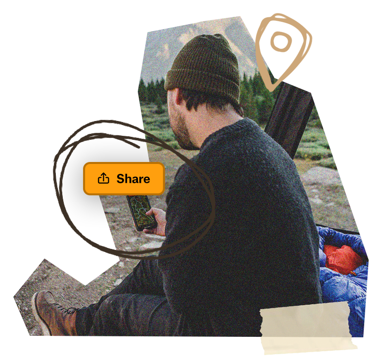
Save The Folder; Explore The Route
Download any or all three of the Baja Backbone Route trip Folders to save it right to your onX Offroad App and share it with friends. You’ll have all the information you need to prepare and safely execute the Route, including Photo Waypoints that mark suggested campsites, crossings, trail obstacles, fuel stations, meet-up points and more for these epic trips exploring the backbone of Baja.