Rugged Adventures Episode 17: Arctic Overland Adventure
With Rugged Destinations
Fire up your rig and set your sights on the Far North, where adventure meets the Arctic horizon. This Rugged Adventure traces the Alaska Highway from historic Mile 0 in Dawson Creek to the edge of the Arctic Ocean at Tuktoyaktuk—linking hot springs, mountain passes, and endless tundra under the midnight sun. The drive is steady but never dull: gravel stretches, ferries, and wide-open skies remind you that up here, the journey is the destination. Slow down, take it all in, and feel the pull of the true North with every mile.

New onX Offroad Route:
Arctic Overland Adventure
Chase the horizon on a journey where the road runs out and true adventure begins.
This route ties the Alaska Highway’s historic Mile 0 at Dawson Creek to the Arctic Ocean at Tuktoyaktuk, mixing approachable logistics with real northern remoteness. Paved highway takes you to Dawson City, then the legendary Dempster Highway (gravel, mud, and big potholes) carries you across tundra, mountains, and the Mackenzie Delta to Inuvik and finally the Inuvik–Tuktoyaktuk Highway (ITH), an all-season road opened in 2017 that reaches the Arctic coast.
Expect to move at a measured pace. We held most drive days to 4–6 hours, building in reset days for showers, laundry, and gear wrangling. The rhythm lets you enjoy the places that make this trip special: Liard Hot Springs’ natural pools, museum stops in Whitehorse (Beringia Centre) and Dawson Creek (Mile 0), and roadside bakeries and viewpoints that break up the miles.
North of Dawson City, the Dempster demands respect. Surfaces change quickly; speed can drop to 20–50 mph. Flats and windshield chips are common, so air down when appropriate, carry a full-size spare (start the trip with high quality tires to avoid punctures), and slow for potholes. Services are sparse: the longest fuel stretch is from the Dempster’s start to Eagle Plains (~369 km/229 mi); then fuel appears again at Fort McPherson and Inuvik. Two free ferries—Peel River and Mackenzie/Arctic Red River—add character and short waits to the journey (summer only; in winter these become ice crossings).
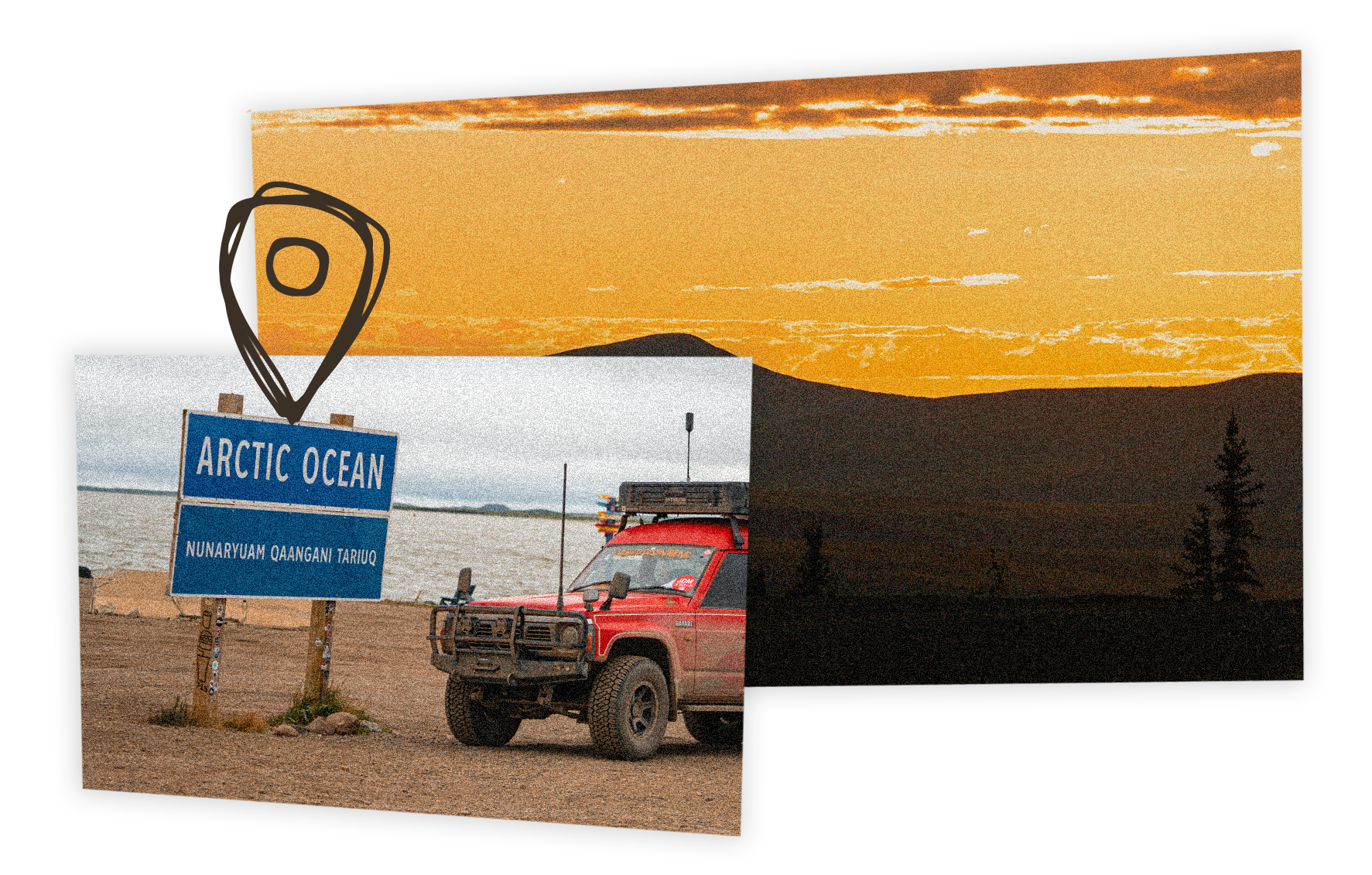
From Inuvik, the final leg to Tuktoyaktuk runs ~140 km/87 mi to the Arctic Ocean. Weather can be raw even in August: rain, wind, and low windchills are common—pack layers and waterproofs. Any street-legal vehicle can make this drive in summer conditions—we even saw minivans—but plan conservatively and build in time for construction, which is prevalent in the short northern work season.
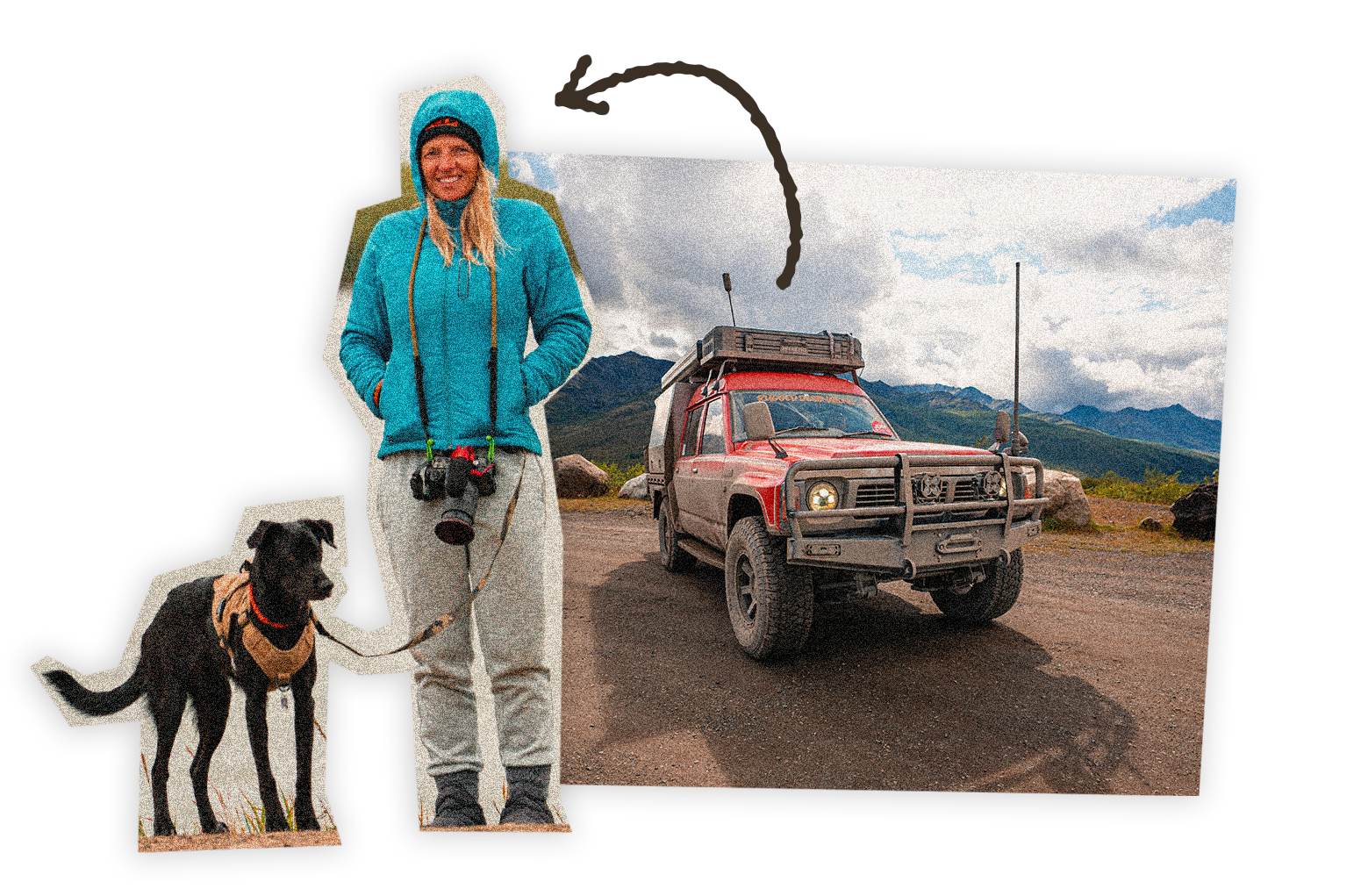
Family-friendly? Absolutely—at this pace. Visitor centers, short walks, hot springs (family-friendly at Liard; spa-style adult-only at Eclipse), and abundant wildlife sightings keep kids engaged. Pet-friendly? Generally yes; bring veterinary paperwork for the border and check individual park rules.
Pro Tips:
- Save Offline Maps in your onX Offroad App and use the Weather, Cell Service Layer, Wildfire Layer, and Dispersed Camping layer.
- Carry loonies & toonies for coin showers; potable water is widely available at campgrounds and some stations.
- Refill propane in big hubs (Kamloops/Prince George/Dawson Creek/Whitehorse) before heading north; availability becomes unreliable.
- Fuel rule: Top up whenever you can on the Dempster; always make sure you fill up whenever possible—including your jerry cans.
Segments
- Dawson Creek → Buckinghorse PP – Mile 0 reset → short hop to river camp; watch storms, stash gear.
- Buckinghorse → Liard Hot Springs – Classic soak; family-friendly pools.
- Liard → Watson Lake – Yukon sign + Sign Post Forest; public-land camp by Liard River.
- Watson Lake → Whitehorse – Last major hub: groceries, propane, Beringia Centre, Eclipse Hot Springs.
- Whitehorse → Carmacks (overlook) – onX-scouted bluff; loons and beaver below camp.
- Carmacks → Dawson City – Historic river town; bakery + museum; camp just outside town for space/value.
- Dawson City → Tombstone – Dempster begins; river camp at East Blackstone; weather swings.
- Tombstone → Ogilvie Ranges – High-vantage campsite; epic sunset conditions.
- Ogilvie → Inuvik – Two free ferries; market + showers at Happy Valley. (The Dempster Highway)
- Inuvik → Tuktoyaktuk – Short final push; pingos, Arctic Ocean sign; exposed coastal weather.
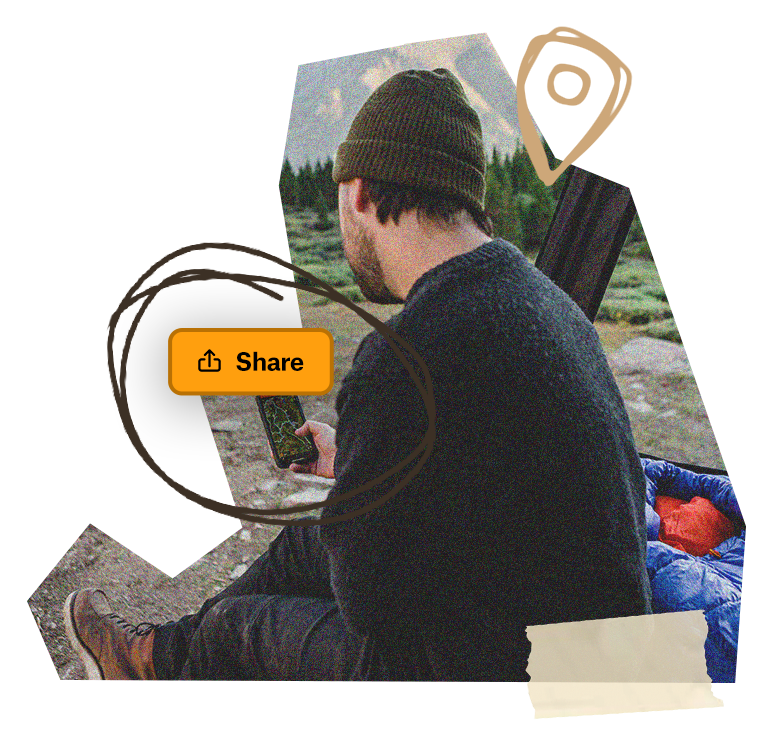
Save The Folder; Explore The Route
Download the Arctic Overland Adventure Folder to save it right to your onX Offroad App and share it with friends. You’ll have all the information you need to prepare and safely execute the Route, including Photo Waypoints that mark suggested campsites, crossings, trail obstacles, fuel stations, meet-up points and more for this epic Arctic adventure.