Rugged Adventures Episode 16: Maine’s Mighty Moose Traverse
With Our Way To Roam
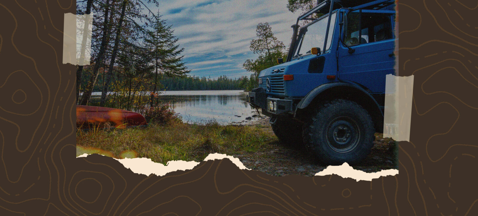
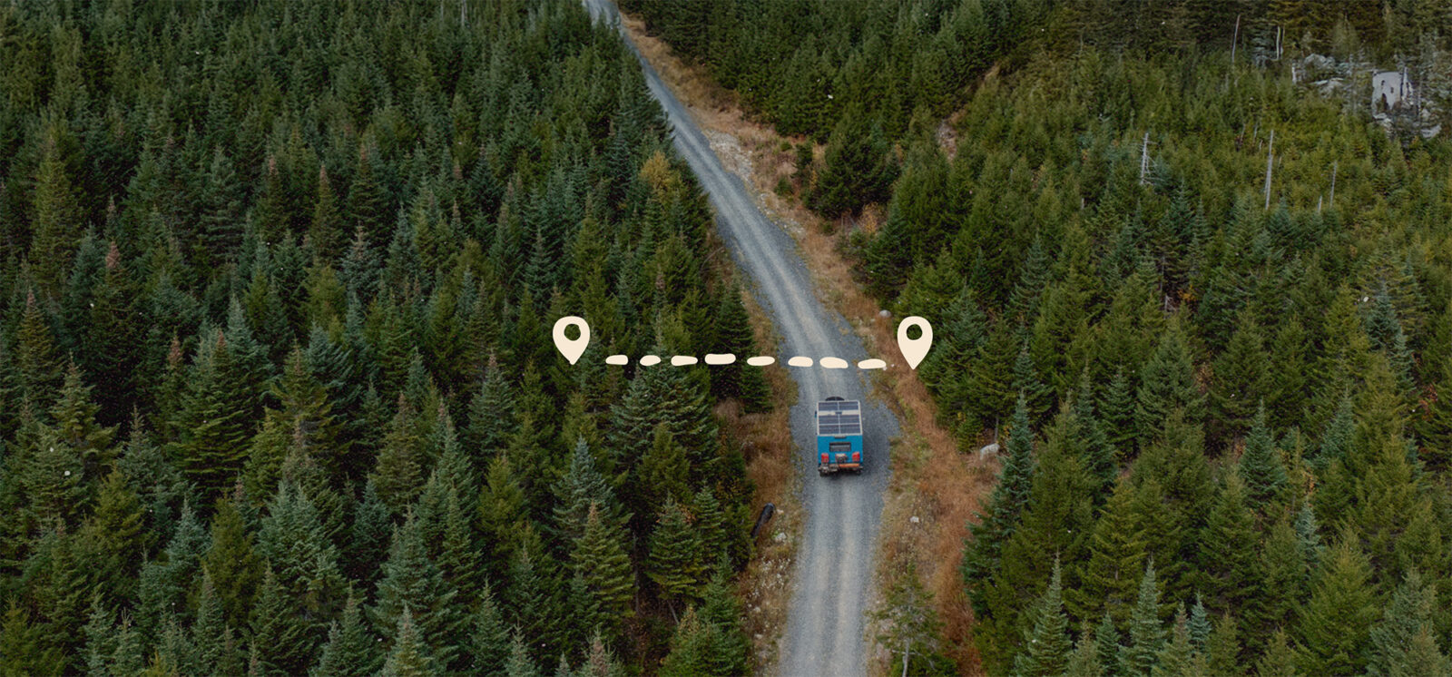
Venture into the wild heart of Maine on this unforgettable Rugged Adventure through more than 170 miles of remote backcountry. Starting in the small town of Greenville, the route follows a stretch of the legendary Golden Road before winding through the rolling mountains and hidden valleys of western Maine. Along the way, you’ll discover peaceful lakeside campsites, cross pristine rivers, experience abundant wildlife, and enjoy the solitude that defines this untamed landscape. A hike to an abandoned fire tower and restored caretaker’s cabin offers panoramic views and a window into Maine’s rich past, making this three-day, two-night journey a true taste of New England wilderness.
New onX Offroad Route:
Maine’s Mighty Moose Traverse
On Day 1, you’ll cover nearly 100 miles of rugged Maine wilderness. The route begins on a scenic stretch between Greenville and the entrance to the North Maine Woods, a road well-known for frequent moose sightings. After passing through the first checkpoint, you’ll join the legendary Golden Road, climbing to a high point of about 1,624 feet and taking in breathtaking views of Caribou Lake and Seboomook Lake along the way. An optional 43-mile addition branches off here, leading you onto smaller, quieter backroads deeper into the North Woods—if you take it, plan to camp at Lost Pond within the North Maine Woods overnight to make the most of this detour. Continuing onward, you’ll eventually leave the Golden Road behind, passing through the second official checkpoint as you exit the North Maine Woods and camp just outside its border for the night.
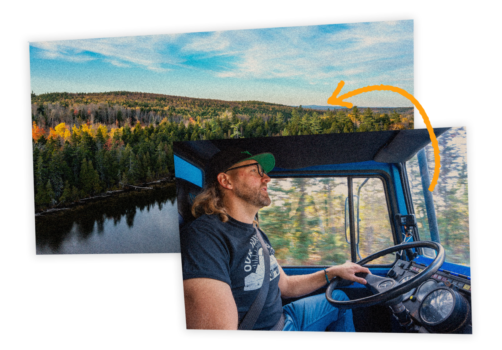
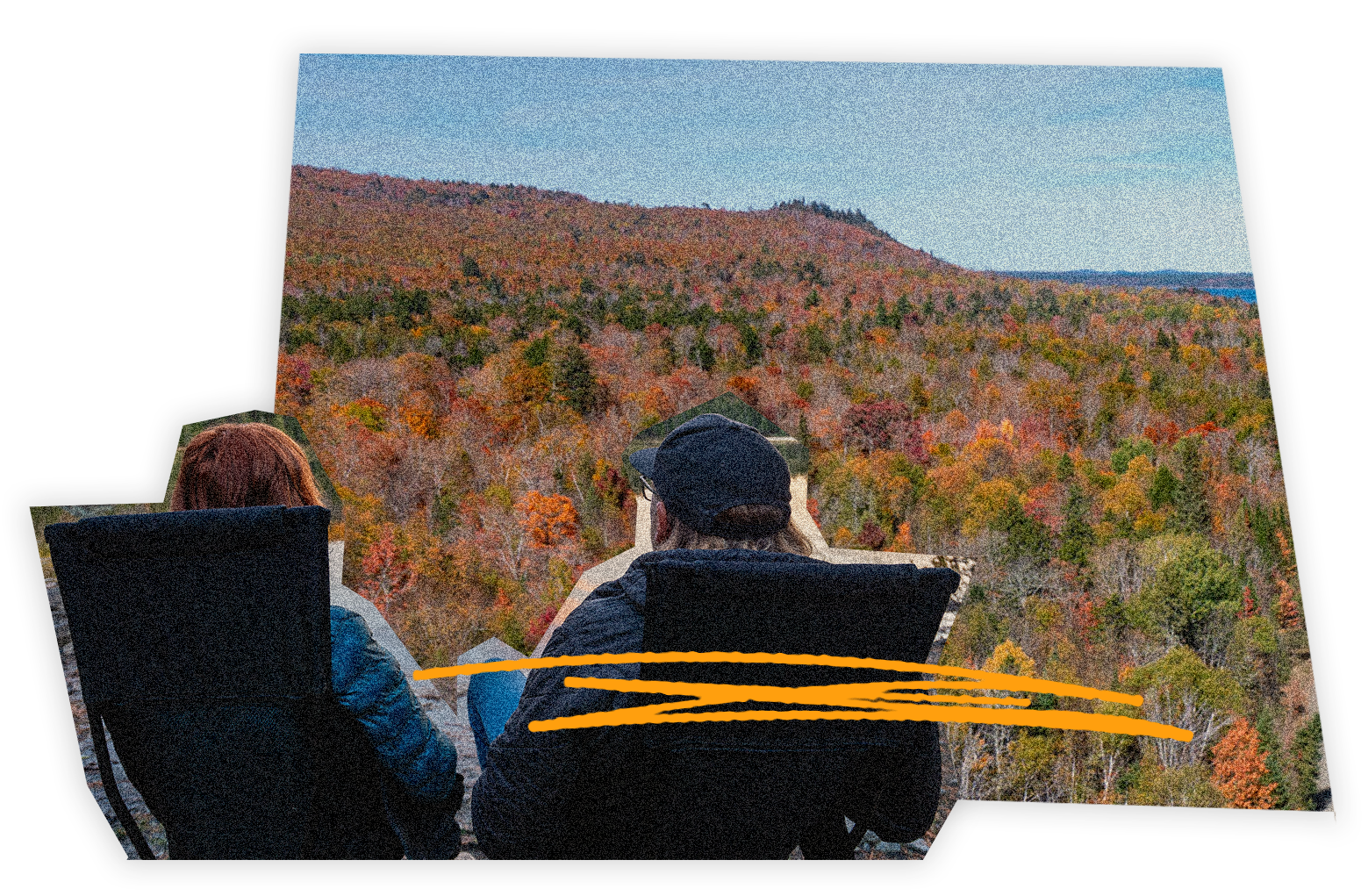
On Day 2, the route slows down, covering just 18 miles, a welcome change of pace after the long push yesterday. This stretch invites you to linger and take in the scenery, with plenty of time to stop, explore, and enjoy a hike. On the small road to the trailhead, you’ll encounter your first real obstacle on the route, where good clearance is a must. From there, a short but rewarding hike brings you to an abandoned fire tower and a beautifully preserved caretaker’s cabin offering sweeping views of the surrounding lakes and mountains. The day ends at a quiet lakeside campsite, one of the most stunning and peaceful spots on the entire route—the perfect place to unwind and enjoy the solitude of Maine’s backcountry.
On Day 3, the final leg is around 57 miles of mostly logging roads, but be ready: this is where you’ll encounter the toughest obstacles on the route. There are a few spots early on in the day where washouts and exposed culverts create rough terrain. This leg carries you through the public lands of Coldstream Forest and finishes on the gorgeous lakeside camping at Chain of Ponds Public Lands in western Maine.
Private Land Use & Logging
Much of this route travels through privately owned land managed by Maine’s logging companies. Access is generously permitted for public recreation, allowing overlanders and adventurers to explore some of the most beautiful and remote parts of the state. Please remember that this access is a privilege—practice Leave No Trace principles, pack out all trash, and show respect for the landowners and workers who maintain these forests. Be sure to yield to all logging trucks. They have the right of way and will not slow down or stop for you. Responsible travel helps ensure these rugged backcountry areas remain open for future explorers.
Camping
We’ve marked many camping options along the route. Camping within the North Maine Woods requires a fee at the fee station and you are required to stay in their designated camp spots.
Important Note
Motorcycles and bicycles are not allowed on this route.
Fuel Options
Before you head out, make sure to fuel up in Greenville. It’s one of your last reliable options for gas before you really plunge into the remote backcountry.
This is your only fuel station on the route without a detour. Other options include a detour into Rockwood at the end of Day 1 or a detour North into Jackman or South into West Forks on Day 3. We highly recommend carrying extra fuel with you!
Fee Information for the North Maine Woods Region
Access to the North Maine Woods is managed via the non-profit North Maine Woods Inc. (NMW). The current day-use registration fee is $13 per person per day for Maine residents and $18 per person per day for non-residents. Camping (in addition to the daily fee) is charged at $15 per night. Kids under the age of 18 get free day use and camping, and adults age 70 and over get free day use. There are reduced seasonal rates and seasonal passes, so check the NMW website for more information. If you follow our planned route, you will only need a day pass in the North Maine Woods. If you follow our optional 43-mile addition north in the North Maine Woods, we recommend you camp at Lost Pond, which will require a camping fee in addition to the day-use fee.
Best Time To Visit
Late summer or early fall.
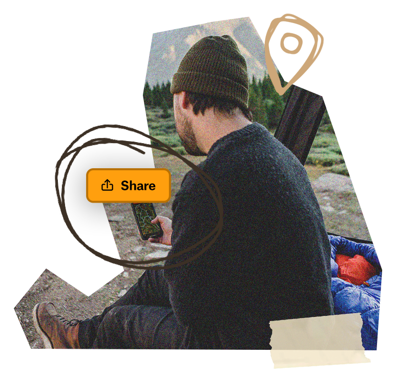
Navigation
Be sure to download offline maps in the onX Offroad App before heading out, as cell service is extremely limited along this route.Family & Pet Friendliness: This route makes for an incredible family-friendly adventure, offering the perfect blend of exploration, sightseeing, and time in nature. With moderate terrain and plenty of opportunities to stop, stretch, and take in the views, it’s an ideal trip for families looking to experience the wild beauty of Maine without tackling overly challenging trails. Kids will love spotting wildlife, exploring lakeshores, and hiking to the old fire tower for panoramic views of the surrounding mountains. The route is also pet-friendly, but dogs should be kept on a leash at all times. Moose, black bear, and other wildlife are commonly seen along the way.
Save The Folder; Explore The Route
Download the Maine’s Mighty Moose Traverse Route Folder to save it right to your onX Offroad App and share it with friends. You’ll have all the information you need to prepare and safely execute the Route, including Photo Waypoints that mark suggested campsites, crossings, trail obstacles, fuel stations, meet-up points and more for this journey into remote Maine.