Monument Hill Access - FS 401
Total Miles
14.0
Technical Rating
Best Time
Summer, Fall
Trail Type
Full-Width Road
Accessible By
Trail Overview
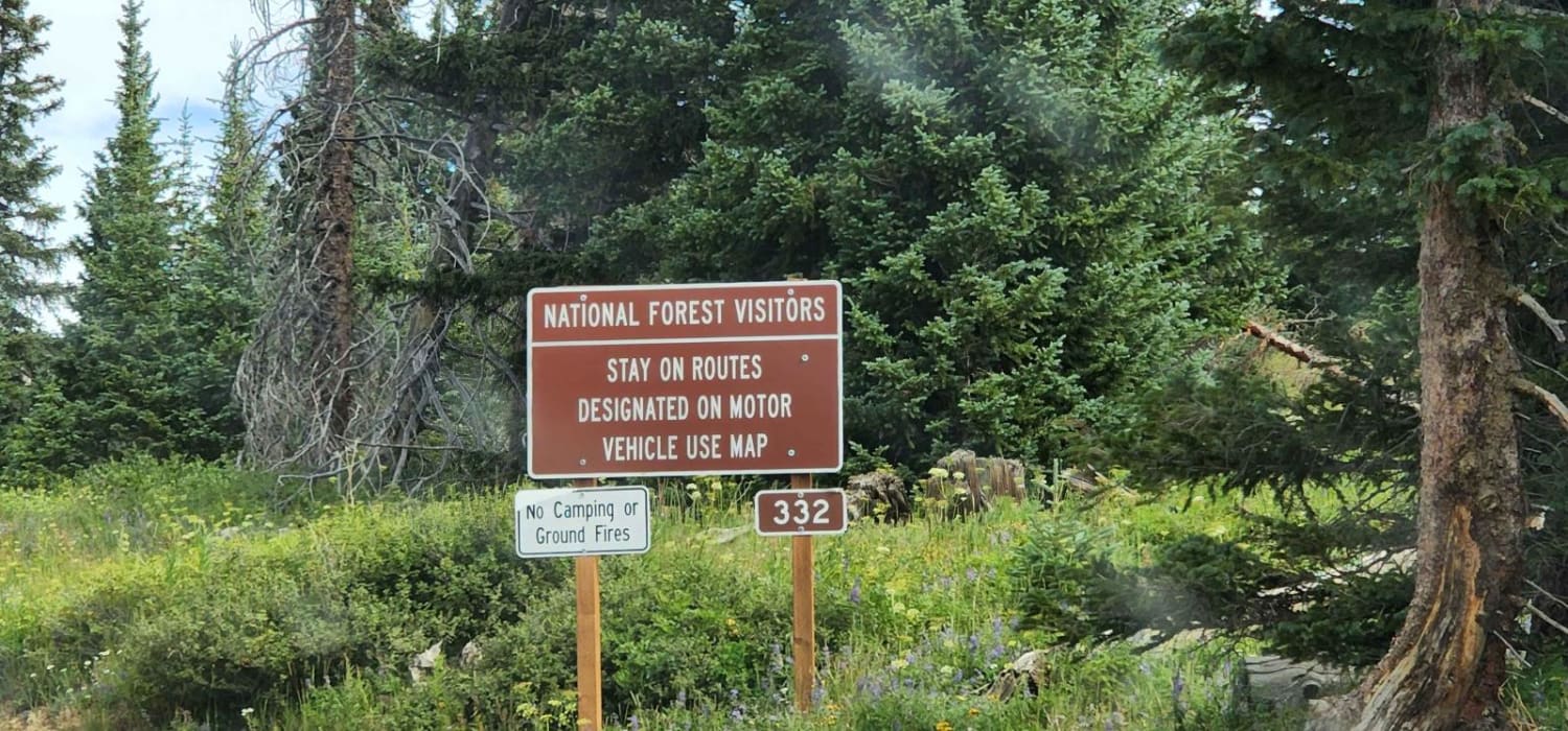
The trail begins at the end of Park County, Wyoming County Road 7UH. The first section is just gravel, level, county road, but turns more rugged further in. It is about 13.8 miles long with some ruts, rocks, and short but steep inclines. In wet weather, this could become very difficult. Although there are several spur roads to explore, there is no outlet, and you will need to return the way you came.
Photos of Monument Hill Access - FS 401

Difficulty
Although not too difficult, high clearance would be required, and with any amount of rainfall, the trail's difficulty will go up.
History
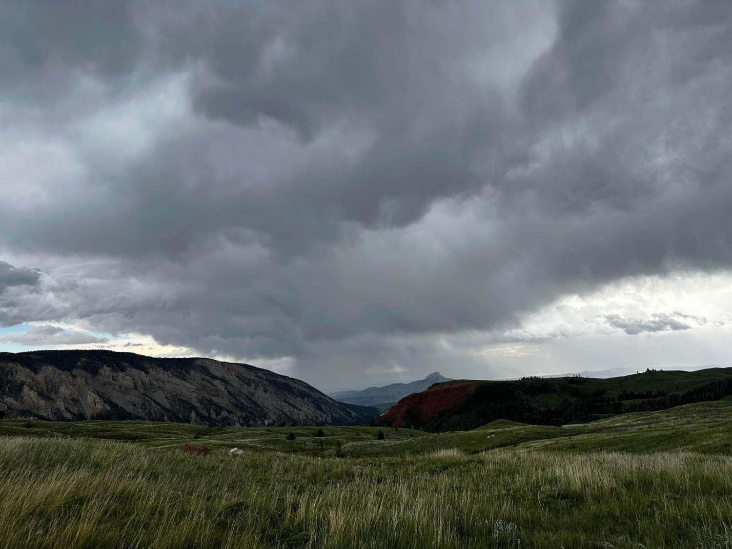
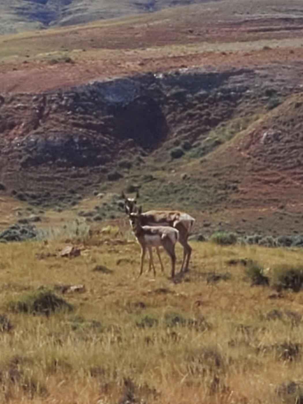
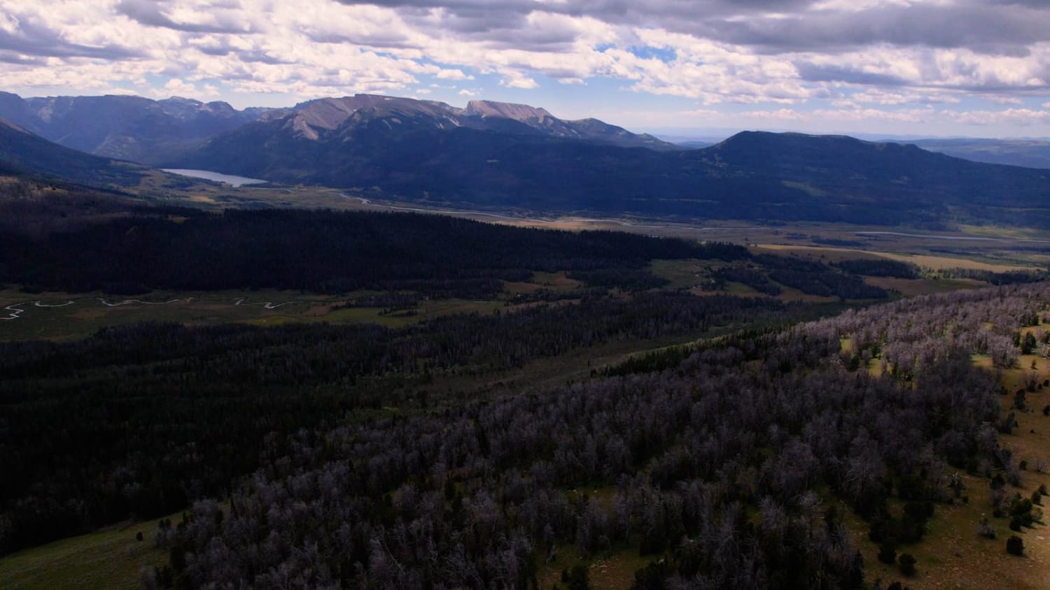
On the climb up Rattlesnake Mountain, going on the trail, you might notice that the area is lush and greener than most of the region. Numerous small ponds, lakes, and streams fill the valley. These are fed from many springs and seeps along the eastern slope of Rattlesnake Mountain, making this area a haven for wildlife. Note that most of the land leading into the area is private property. Please respect the landowner's property rights and keep this access open for everyone.
Status Reports
Monument Hill Access - FS 401 can be accessed by the following ride types:
- High-Clearance 4x4
- SUV
- SxS (60")
- ATV (50")
- Dirt Bike
Monument Hill Access - FS 401 Map
Popular Trails

Limestone Mtn Rd (FS 326)
Where the Deer and the Antelope Play
Grind up Pinon Pass
The onX Offroad Difference
onX Offroad combines trail photos, descriptions, difficulty ratings, width restrictions, seasonality, and more in a user-friendly interface. Available on all devices, with offline access and full compatibility with CarPlay and Android Auto. Discover what you’re missing today!