Matterhorn
Total Miles
0.2
Technical Rating
Best Time
Summer, Fall
Trail Type
Full-Width Road
Accessible By
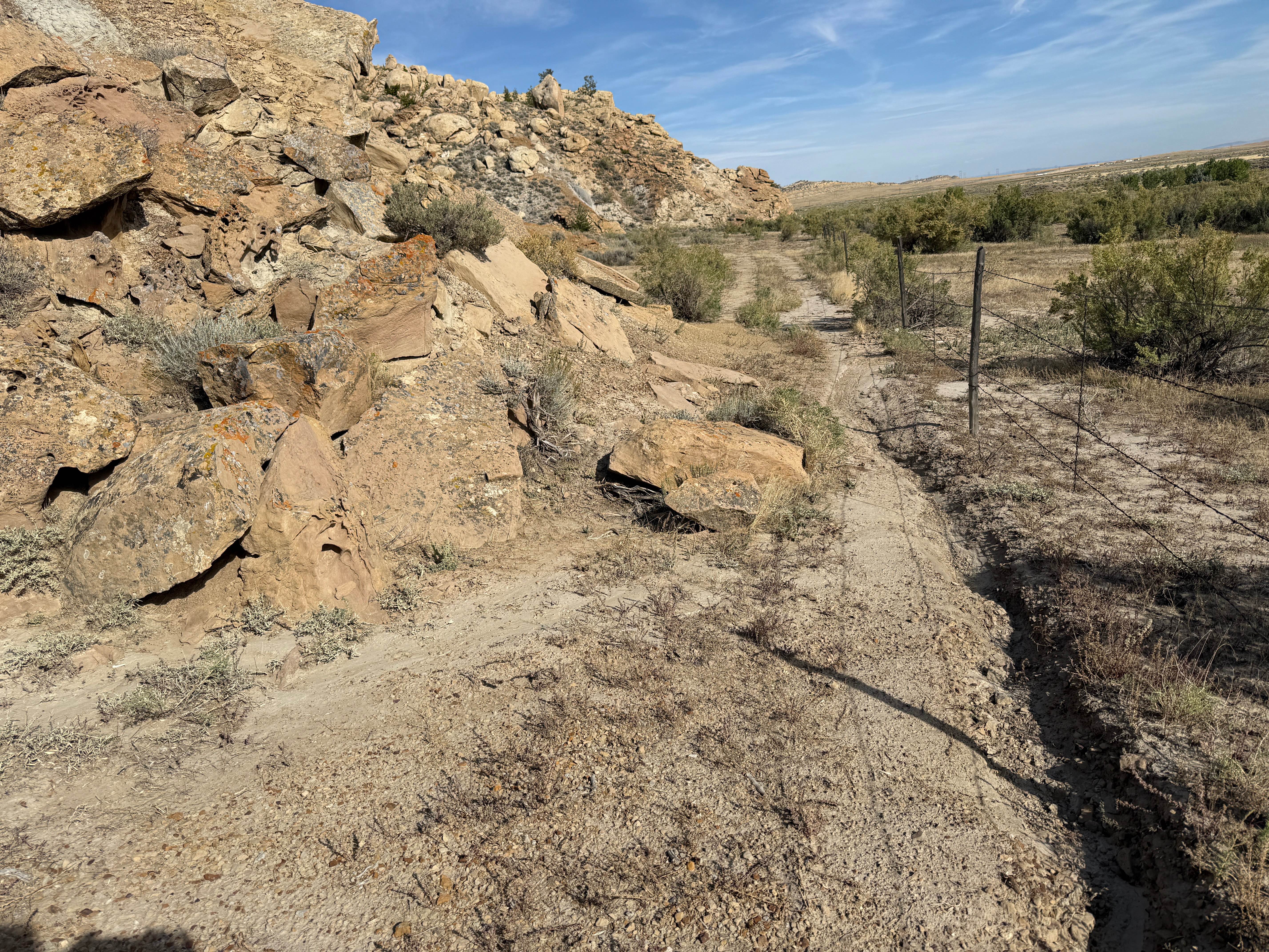
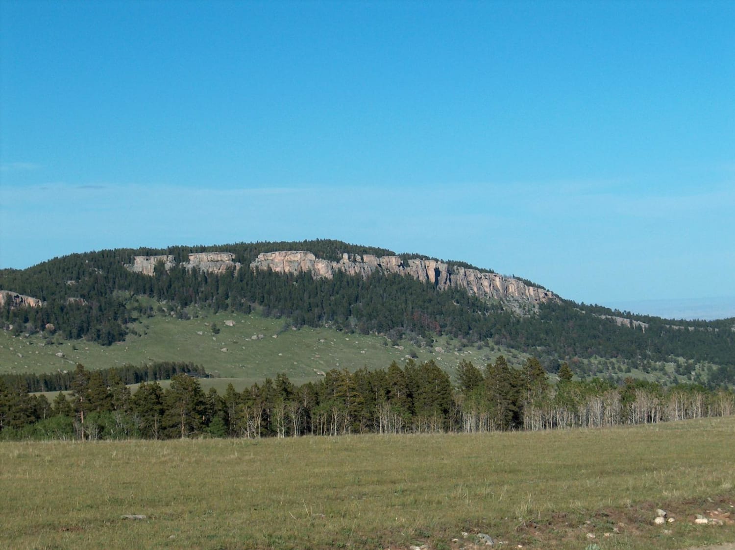
Trail Overview
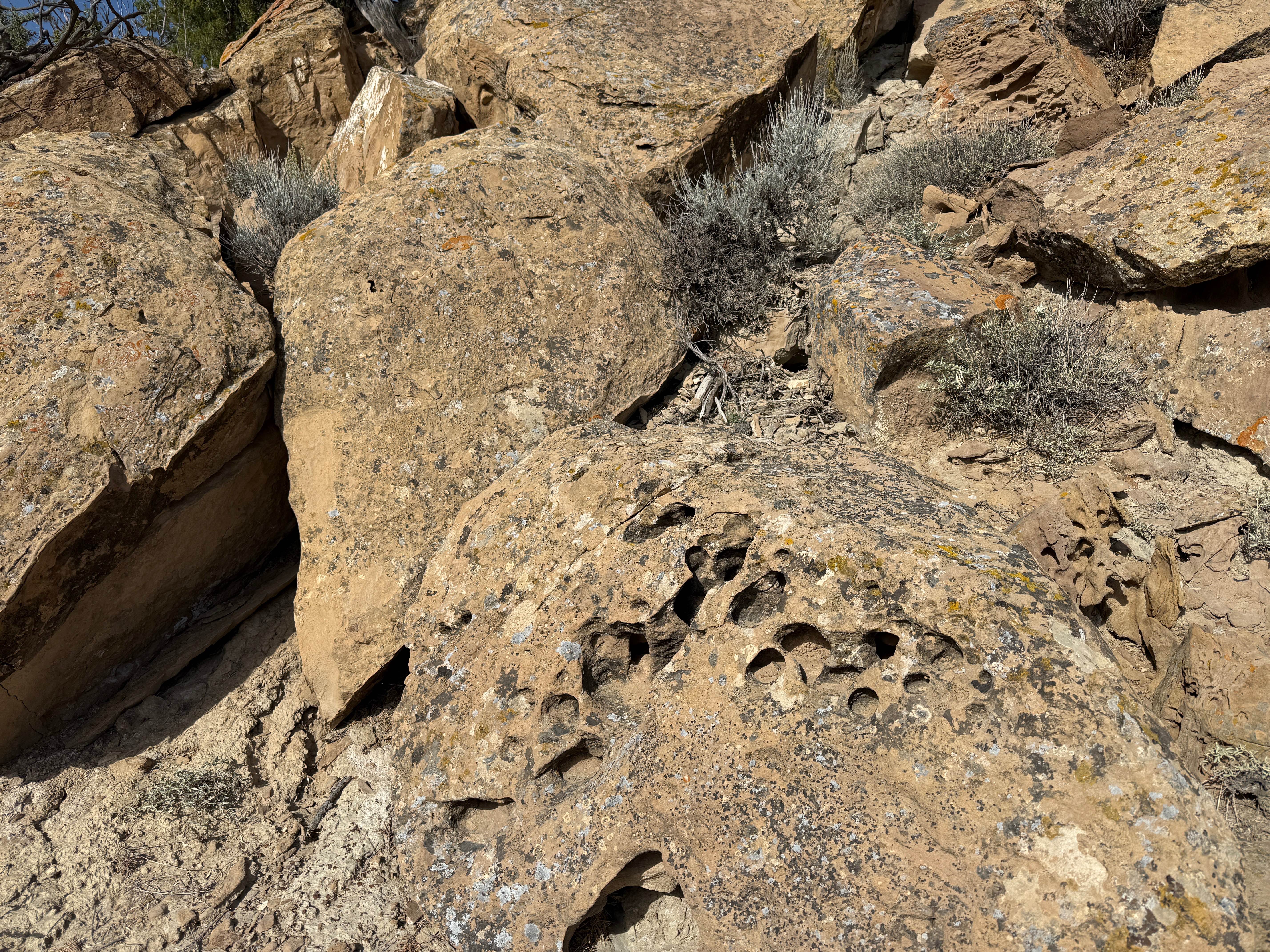
This dead-end trail is an optional trek near the southern ends of Escalator and Charlie, and within easy reach of the parking area. It winds its way along the base of some steep cliffs, then shoots up a steep and rocky climb. Wider vehicles might find the fence a bit too close.
Photos of Matterhorn
Difficulty
Steep, rocky, and technical in places. Expect difficult lines and likely some scrapes and bumps to your vehicle.
Status Reports
Matterhorn can be accessed by the following ride types:
- High-Clearance 4x4
- SUV
- SxS (60")
- ATV (50")
- Dirt Bike
Matterhorn Map
Popular Trails
North Three Forks
The onX Offroad Difference
onX Offroad combines trail photos, descriptions, difficulty ratings, width restrictions, seasonality, and more in a user-friendly interface. Available on all devices, with offline access and full compatibility with CarPlay and Android Auto. Discover what you’re missing today!