Leidy Lake Road - FS 30250
Total Miles
8.3
Technical Rating
Best Time
Summer, Fall
Trail Type
Full-Width Road
Accessible By
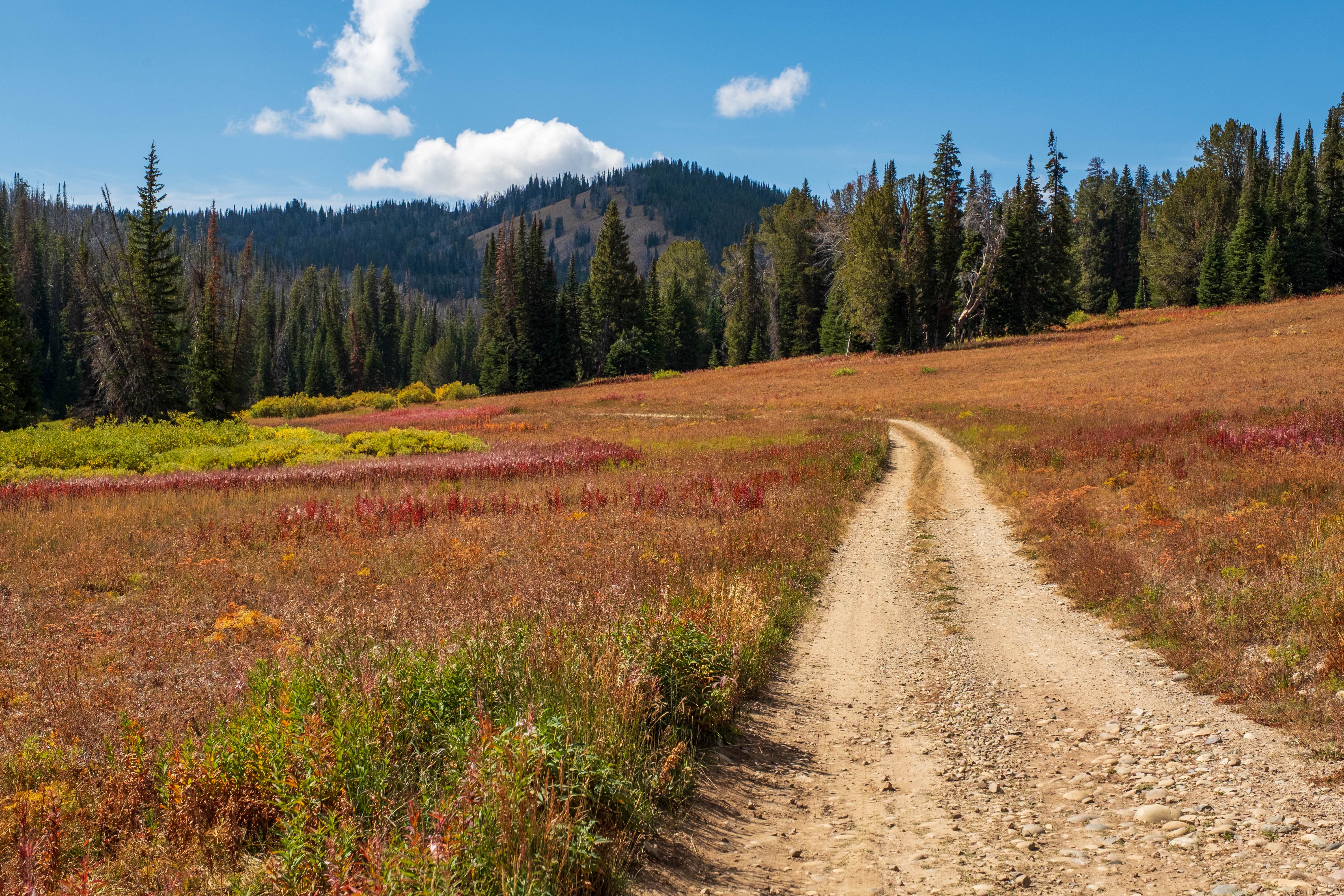
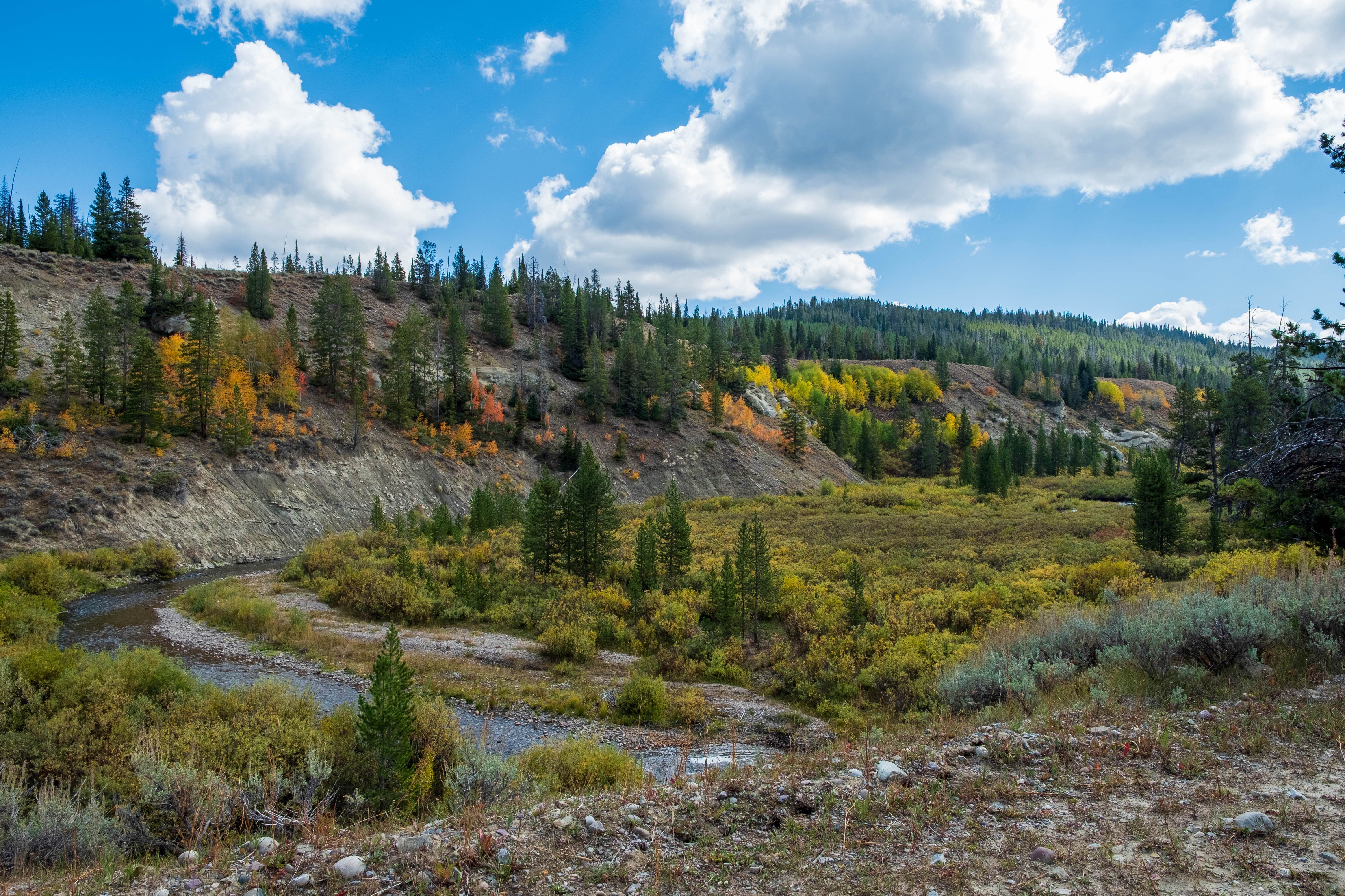
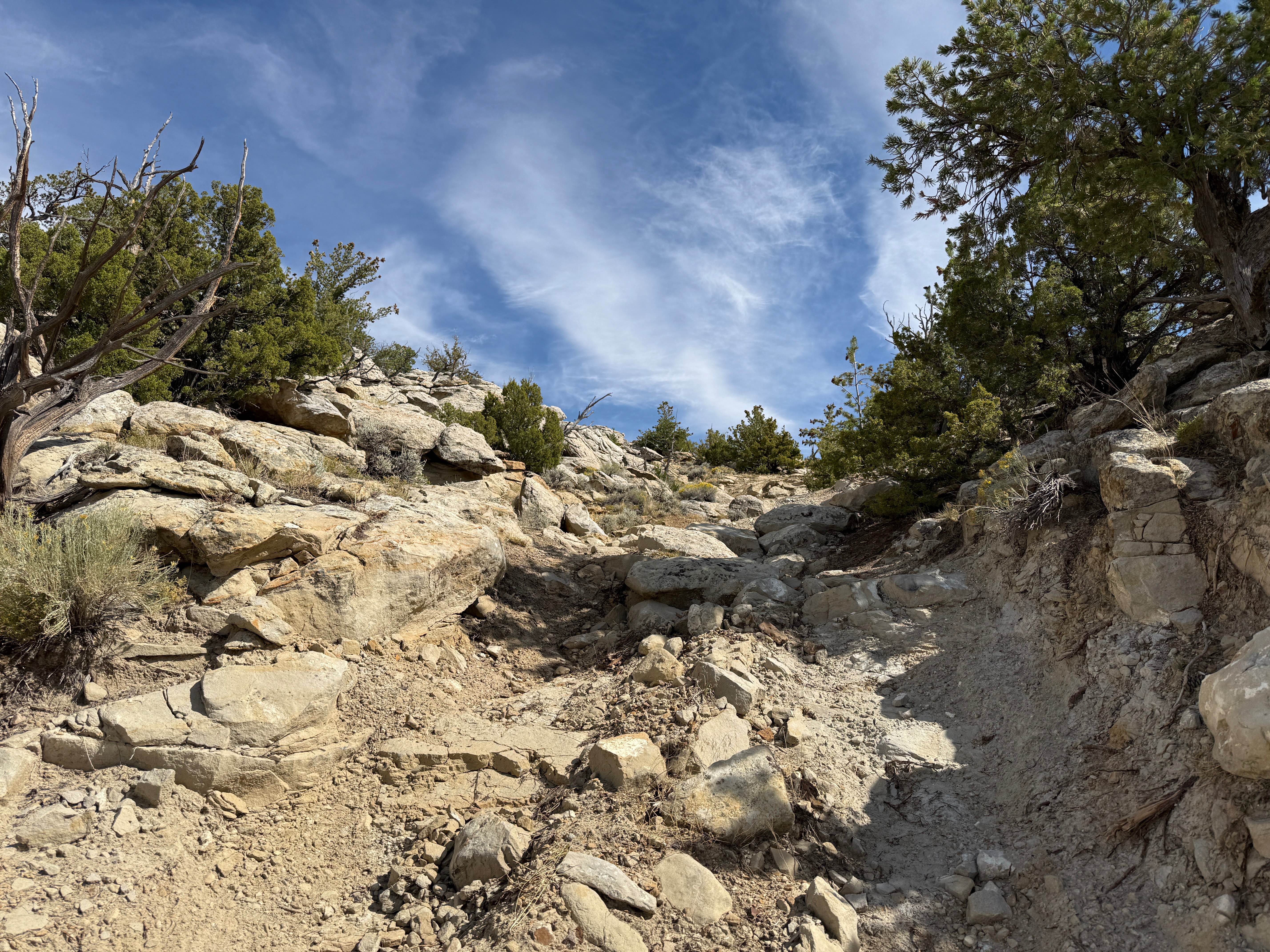
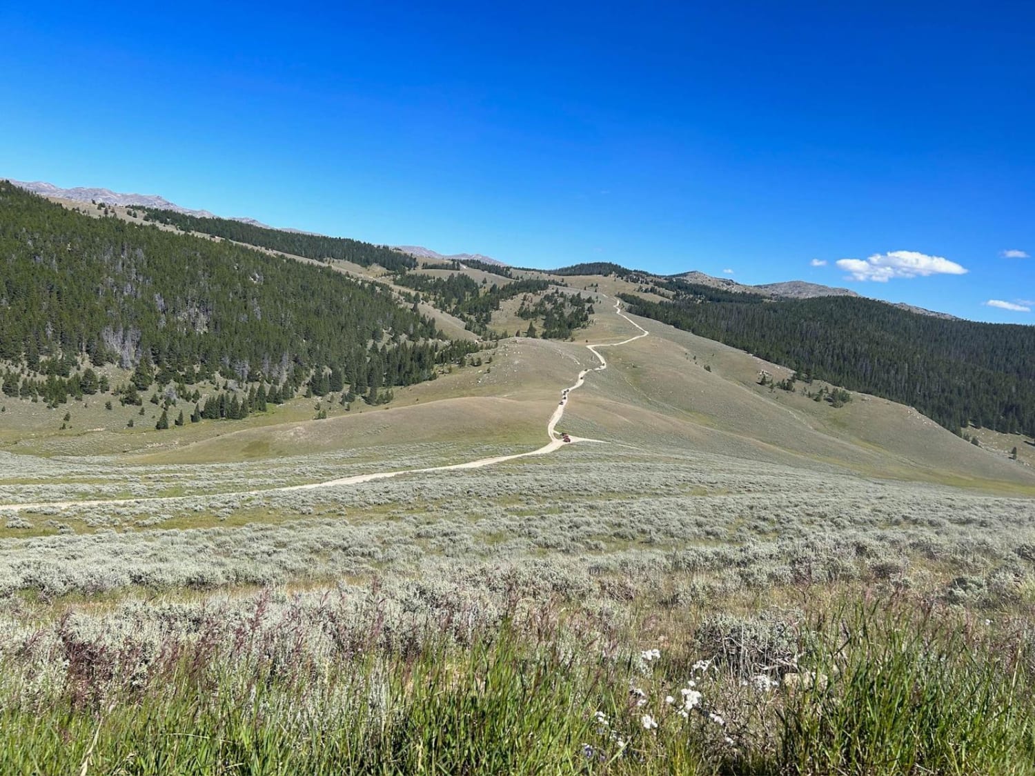
Trail Overview
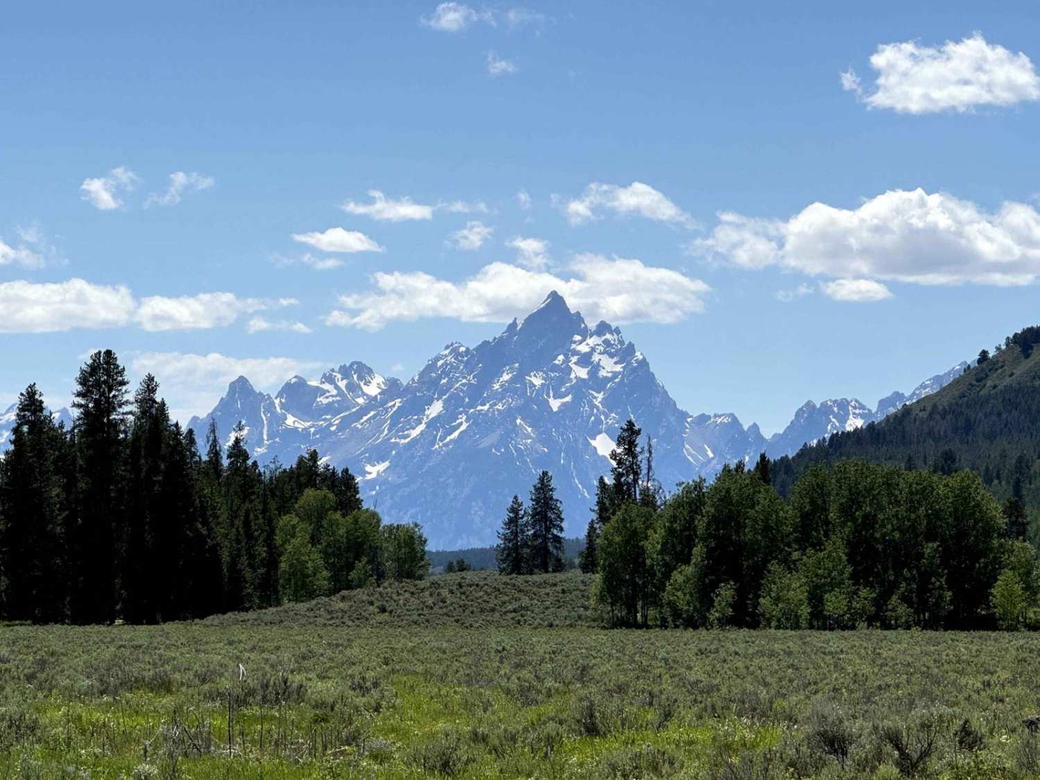
Leidy Lake Road is a gravel road in Bridger Teton National Forest that provides access to Leidy Lake, and, at the very end, the saddle between Mount Leidy and East Leidy. Numerous camping spots are found along the road; some have creek access, while others are large and spacious, serving as good staging areas for various activities. While not technical, good tires are recommended due to the remoteness of the trail. Not long after you pass where Leidy Creek and Spread Creek meet, the road takes a right and starts gaining elevation. At this point, the road starts to get rougher with more loose rock in the roadbed. Closer to Leidy Lake, there is an uphill section where the trees get a bit tighter, making passing for two full-size vehicles impossible without going off-trail. At Leidy Lake, the final stretch heading up to the saddle has some mild off-camber ruts that most standard 4x4s should manage without issue.
Photos of Leidy Lake Road - FS 30250
Difficulty
This trail features mostly packed gravel, multiple sections of loose rock, and, towards the very end, some mild off-camber ruts.
Status Reports
Leidy Lake Road - FS 30250 can be accessed by the following ride types:
- High-Clearance 4x4
- SUV
- SxS (60")
Leidy Lake Road - FS 30250 Map
Popular Trails

Spalding Bay Road
SR 17 Ranger/Battle Creek Road
Pacific Creek Wilderness Road
The onX Offroad Difference
onX Offroad combines trail photos, descriptions, difficulty ratings, width restrictions, seasonality, and more in a user-friendly interface. Available on all devices, with offline access and full compatibility with CarPlay and Android Auto. Discover what you’re missing today!