East Fork Ridge
Total Miles
3.1
Technical Rating
Best Time
Spring, Summer, Fall
Trail Type
60" Trail
Accessible By
Trail Overview
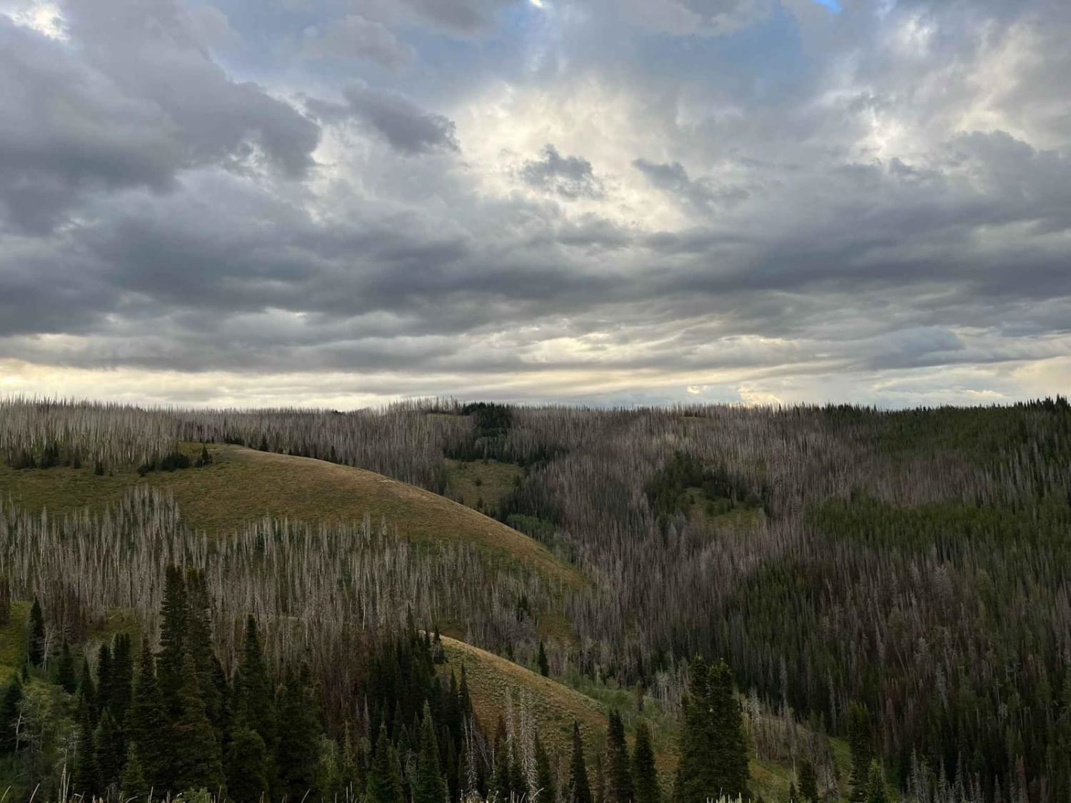
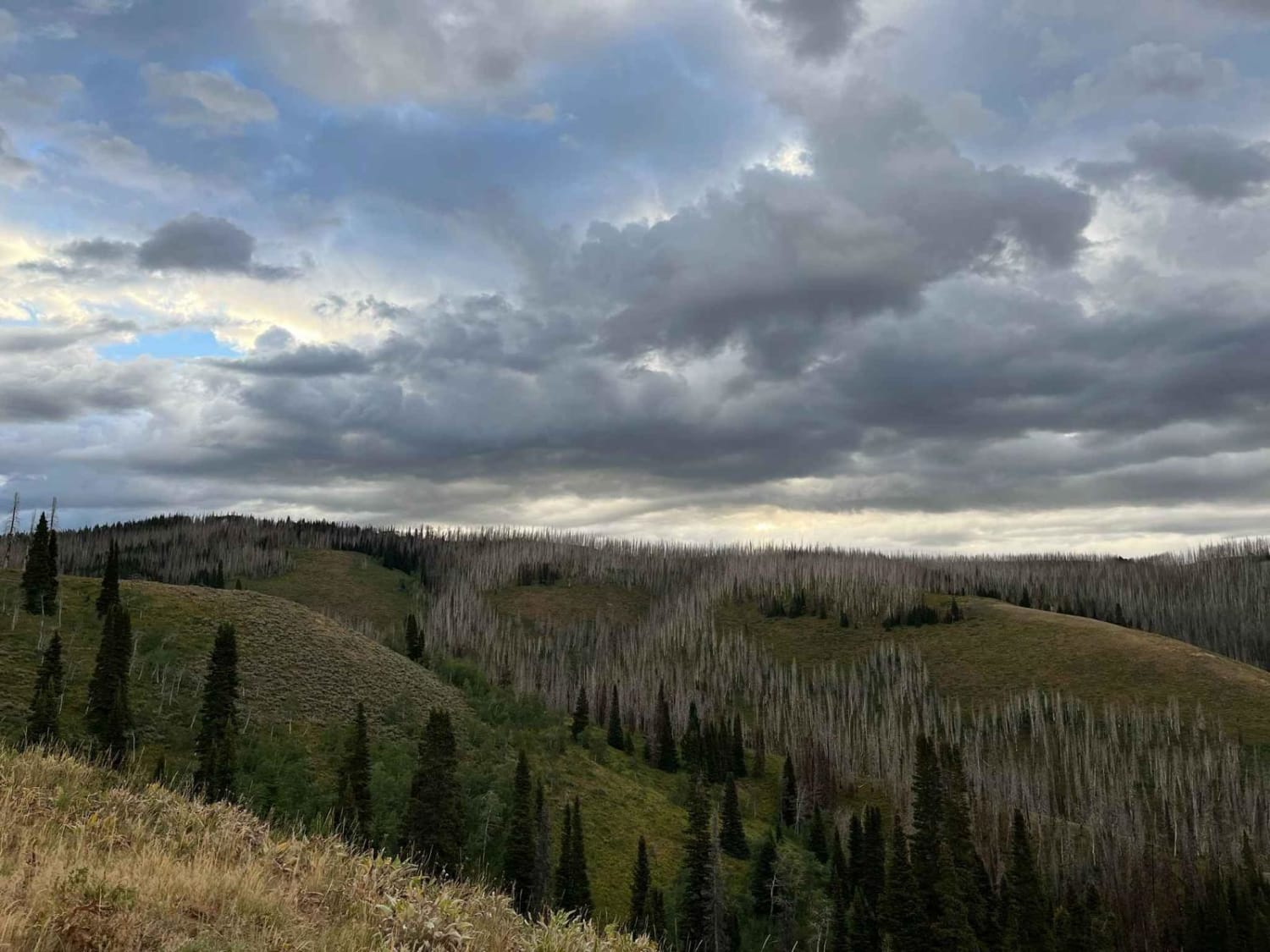
Starting out on a flat dirt road, the route snakes its way up East Fork Ridge. The higher the trail goes, the more narrow and technical it becomes. Near the summit, it enters a burn section where all that stands are the charred statues of a former forest. Taking advantage of the open canopy, a crop of Aspen Trees is beginning to fill in most of this section. They are between 3 and 6 feet tall and are quite dense in some areas. After picking its way through the burn section, the trail pops out on the nose of a ridge that affords views back to Viva Naughton and surrounding ridges.
Photos of East Fork Ridge
Difficulty
A 1/4 mile section of the road through the burn section is quite steep, has off-camber ruts, and filled with loose gravel and jutted with sharp rocks that will try to pitch you into the ruts. There is another section that winds around fallen trees and obstacles through the new aspen growth that are quite sharp and narrow turns.
Status Reports
East Fork Ridge can be accessed by the following ride types:
- SxS (60")
- ATV (50")
- Dirt Bike
East Fork Ridge Map
Popular Trails
Long Creek Trail
Barbie's Dreamhouse
SR 271 Shell Reservoir
The onX Offroad Difference
onX Offroad combines trail photos, descriptions, difficulty ratings, width restrictions, seasonality, and more in a user-friendly interface. Available on all devices, with offline access and full compatibility with CarPlay and Android Auto. Discover what you’re missing today!
