Trail Overview
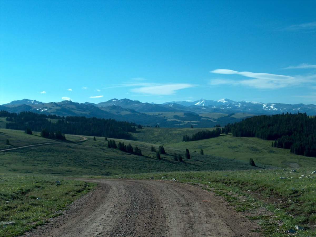
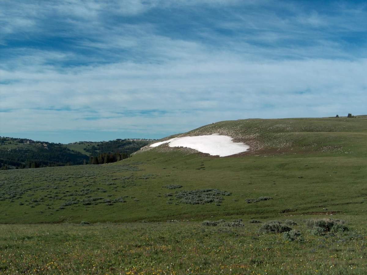
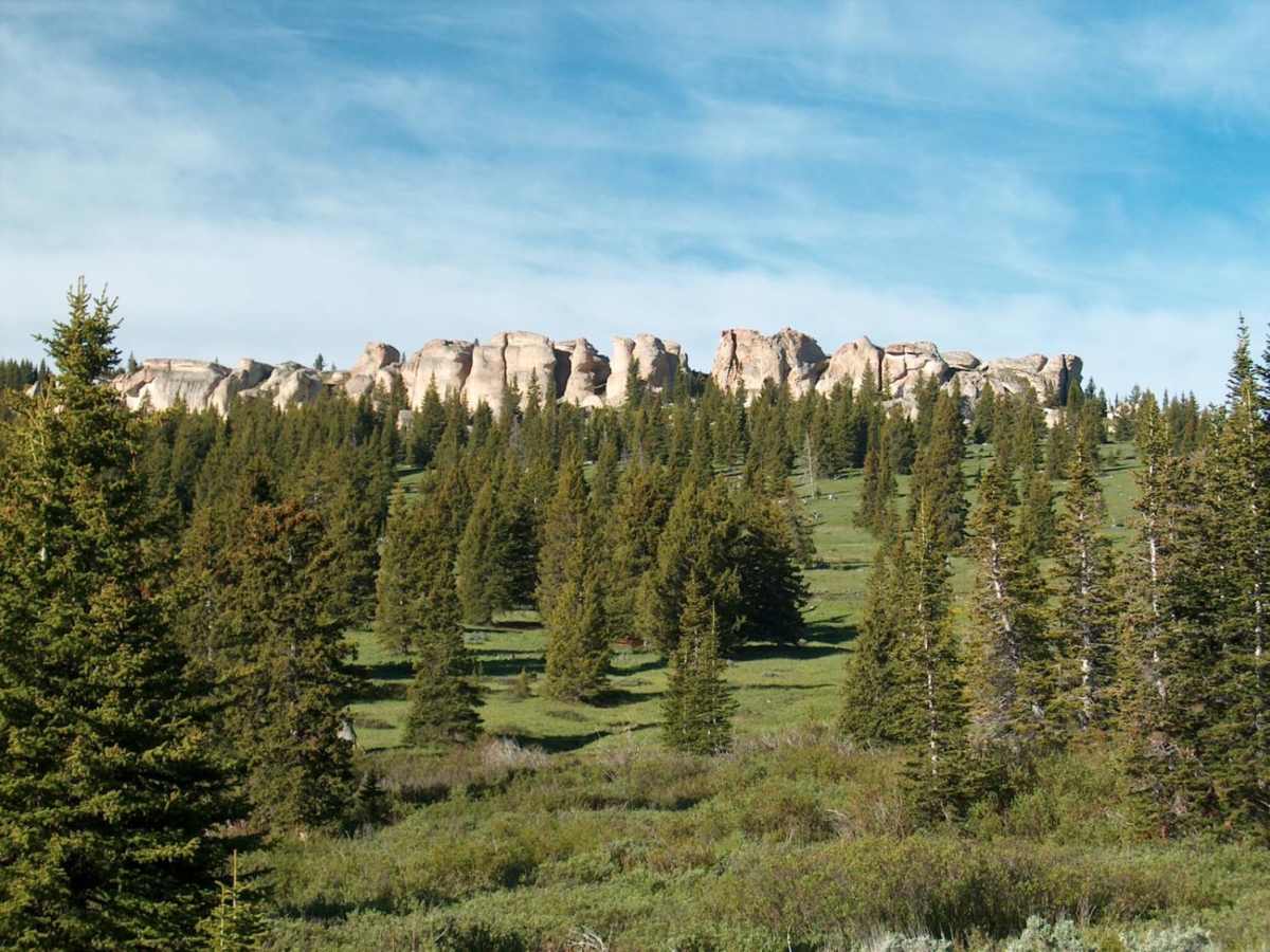
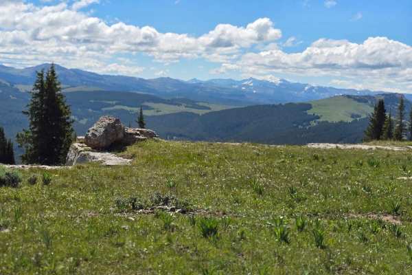
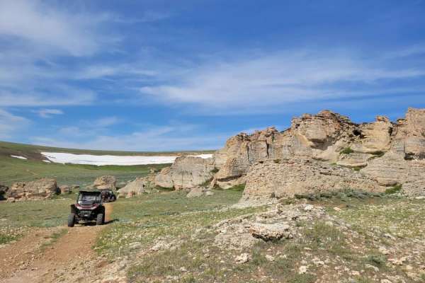
Hunt Mountain Road is a scenic 22.6-mile high-elevation traverse across the backbone of the northern Bighorn Mountains, perfect for high-clearance four-wheel-drive vehicles, SxSs, and dirt bikes looking for breathtaking views and access to more remote terrain. Ranging between 8,978 and 10,027 feet in elevation, this unpaved road delivers commanding vistas of the Bighorn Basin to the south and the distant Absaroka Range near Yellowstone to the west. The route winds through high-alpine meadows, small timber stands, and unique rock outcroppings, with snowdrifts frequently remaining across the road well into the summer months. Drivers will experience roughly 1,937 feet of cumulative elevation gain along this bumpy but generally straightforward route, which serves as a gateway to more challenging tracks descending toward the desert basin.
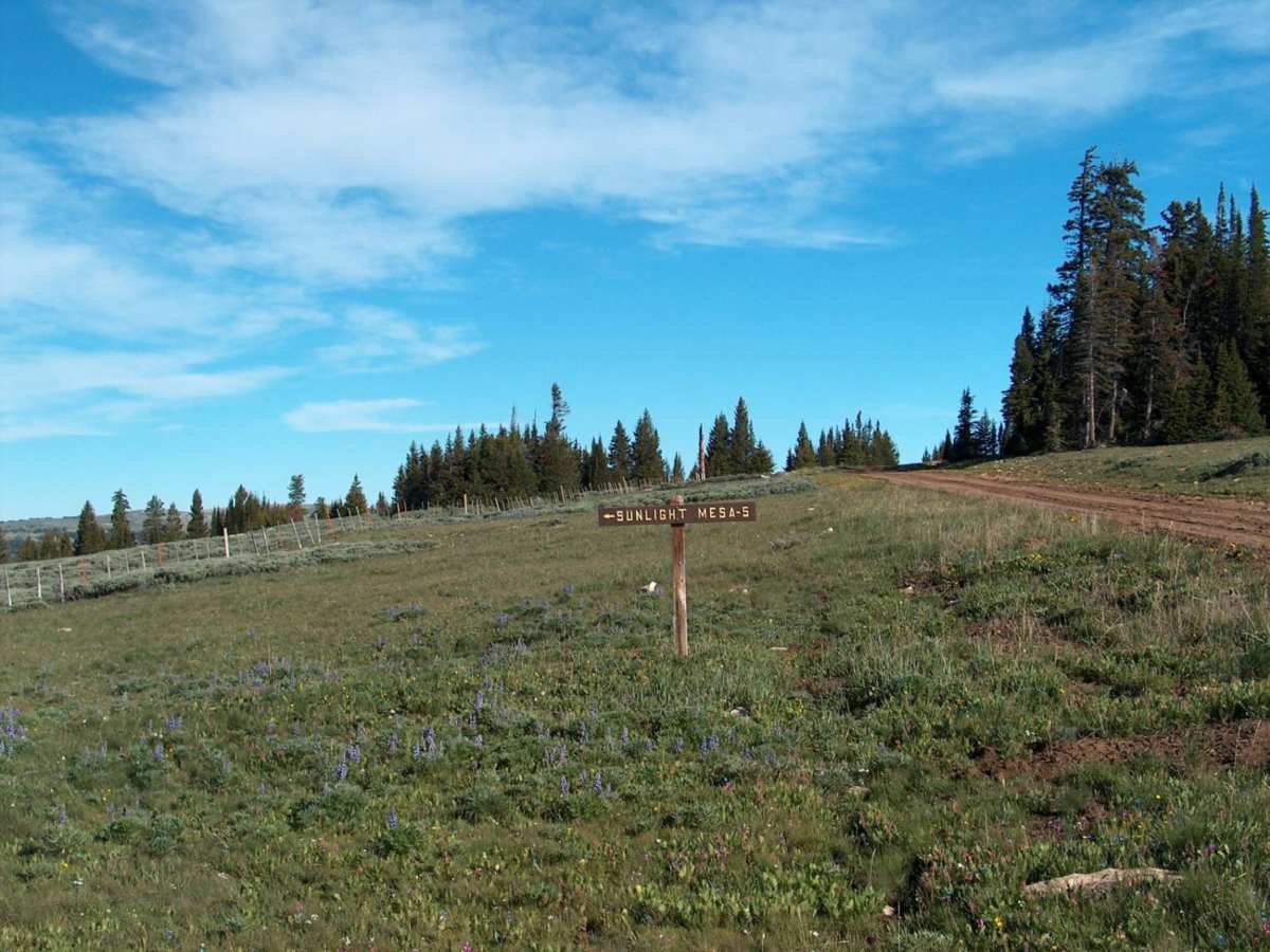
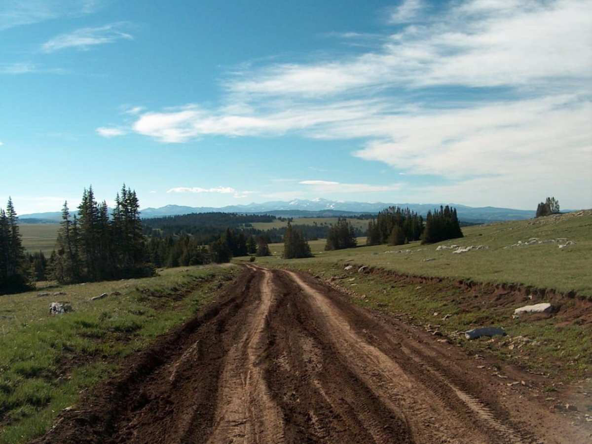
While typically rated as a mild, bumpy drive in dry conditions, wet weather can quickly transform the dirt surface into a slick, muddy corridor with deep, tire-grabbing ruts that demand careful navigation and proper equipment. High-clearance four-wheel-drive vehicles or SxSs are recommended to easily negotiate the uneven, rocky terrain and potential washouts. The route provides access to over a dozen miles of more demanding, primitive four-wheel-drive and ATV trails, including a popular spur leading to Sunlight Mesa at the edge of the Bighorn National Forest. Planning a trip in the late summer or early fall ensures the best trail conditions, as melting snowpack and heavy spring rains can render sections impassable early in the season.
Difficulty
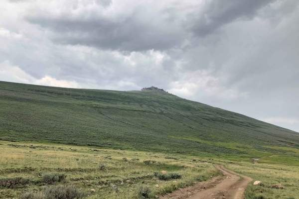
In dry conditions, this is an easy, though bumpy drive across the crest of the Bighorn Mountains. But when conditions are wet, the road becomes slippery and difficult with mud and deep, tire-grabbing ruts. Snowdrifts, even in late spring and early summer, can also make travel difficult.
History
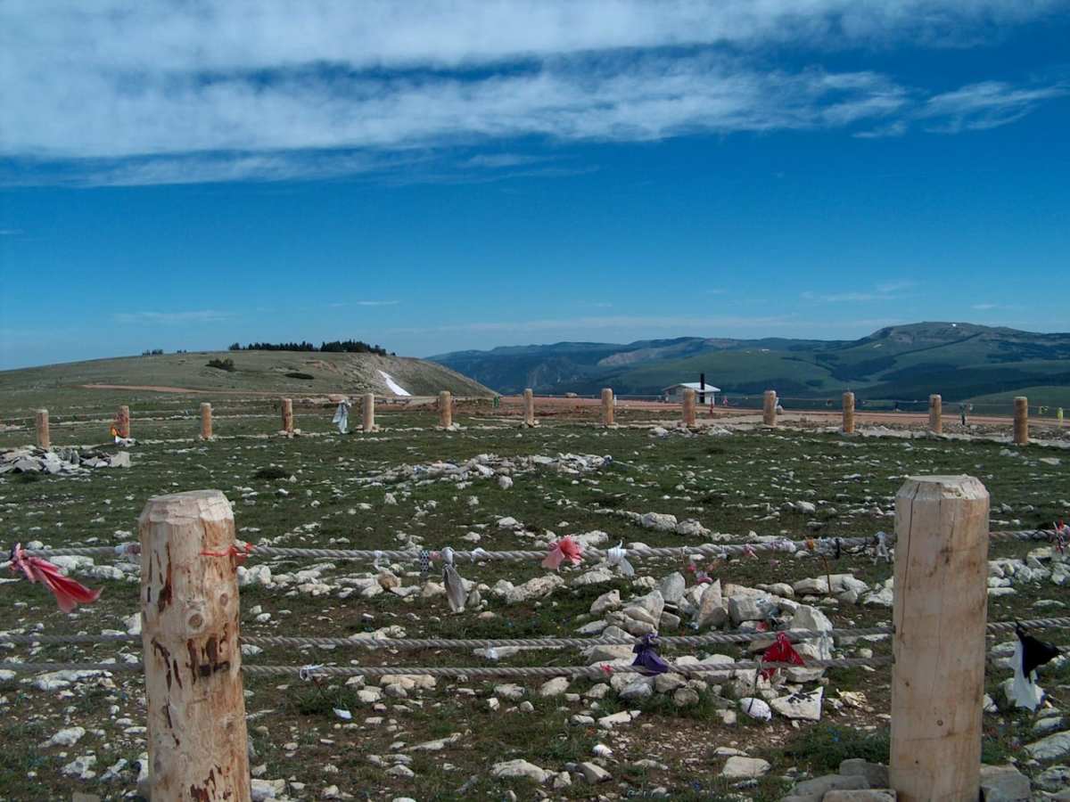
The Medicine Wheel/Medicine Mountain National Historic Landmark is situated a few miles west of Hunt Mountain Road on Highway 14A. Constructed by Native American tribes using white limestone rocks atop Medicine Mountain, this ancient wheel-shaped structure features an interpretive center and a closed access road where visitors can walk to the historic site.