Westside Road
Total Miles
12.8
Technical Rating
Best Time
Spring, Summer, Fall, Winter
Trail Type
Full-Width Road
Accessible By
Trail Overview
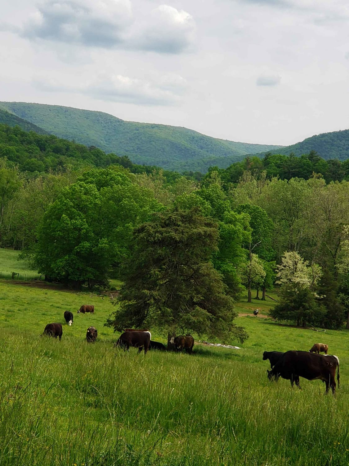
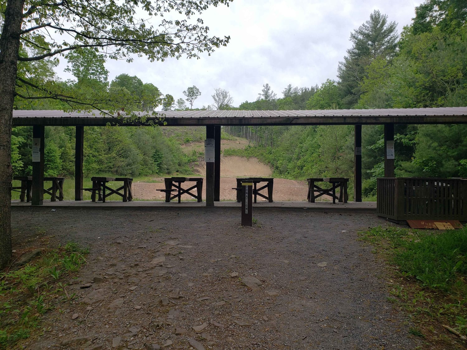
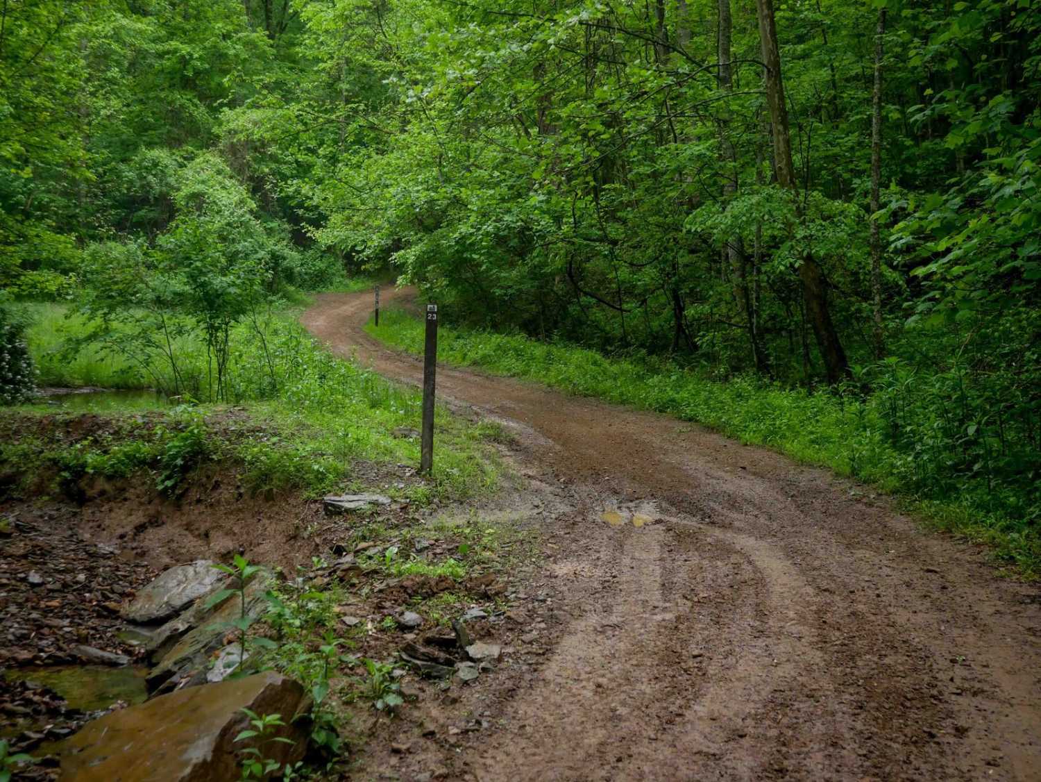
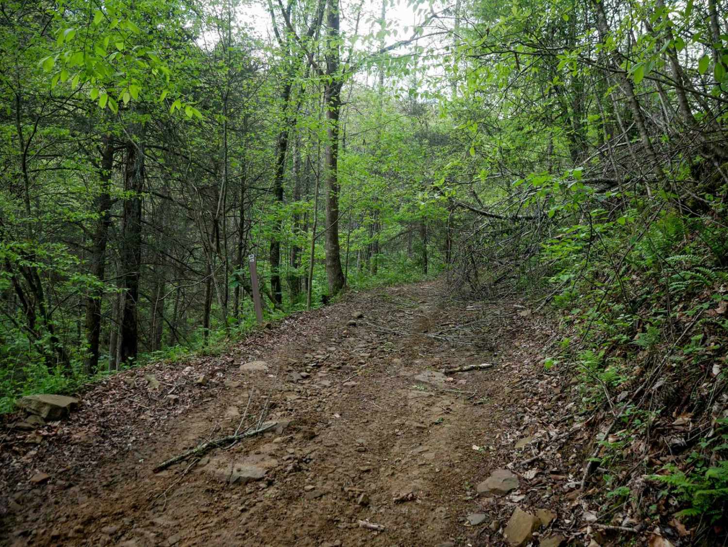
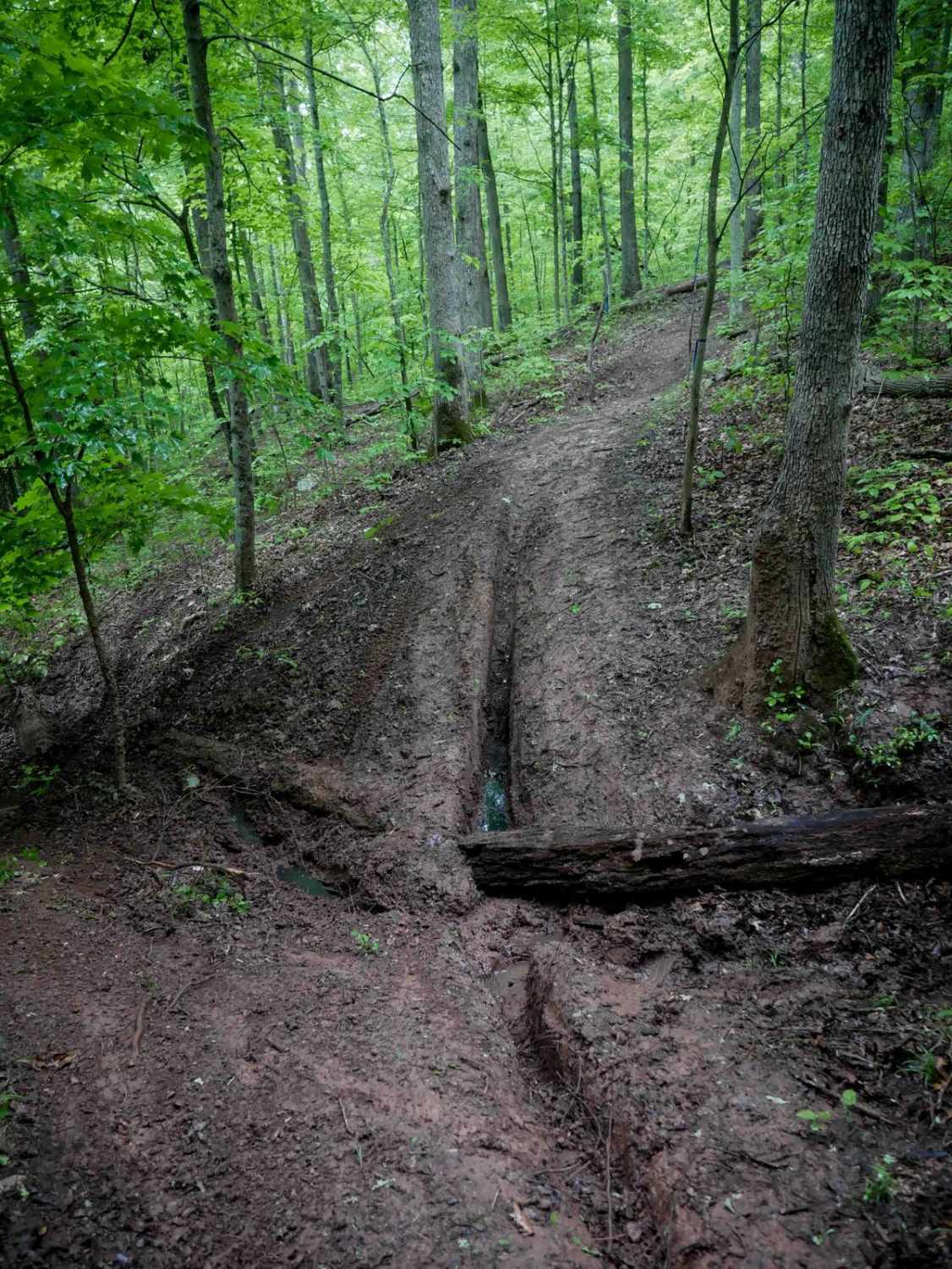
Westside Road travels along the western slope of Shenandoah mountain in WV. Be respectful while travelling through private property, from WV Co Route 34 to the National Forest boundary. The route is generally dirt with crushed stone in high erosion areas with some exposed natural rock. The route includes several small stream crossings and multiple dispersed camping areas.
Photos of Westside Road
Difficulty
Mostly all graded surface with some exposed rocky sections. Slopes entering and exiting streams may pose challenge for lower clearance vehicles.
Status Reports
Westside Road can be accessed by the following ride types:
- High-Clearance 4x4
- SUV
Westside Road Map
Popular Trails

The onX Offroad Difference
onX Offroad combines trail photos, descriptions, difficulty ratings, width restrictions, seasonality, and more in a user-friendly interface. Available on all devices, with offline access and full compatibility with CarPlay and Android Auto. Discover what you’re missing today!