IB 13
Total Miles
2.1
Technical Rating
Best Time
Fall, Spring, Summer, Winter
Trail Type
High-Clearance 4x4 Trail
Accessible By
Trail Overview
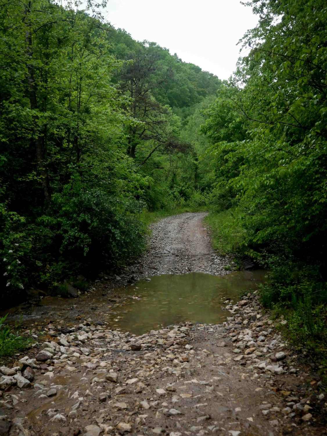
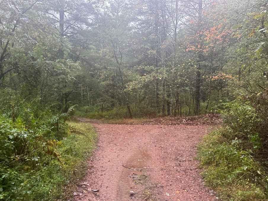
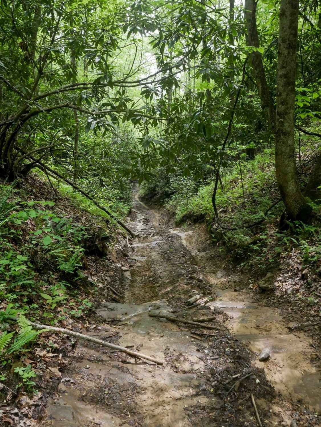
IB 13 is a 2.2-mile easy access route through the Ivy Branch system, connecting the start of IB 10 on the west end to IB 18 on the north end, with access to Ivy Branch Road. The trail is wide and mostly smooth, with numerous puddles and a shallow stream crossing through Ivy Creek that features loose and embedded rock. A short section of pavement is also present. Overall, the trail is suitable for all skill levels and provides convenient access across the area.
Photos of IB 13

Difficulty
This is an easy access trail with no obstacles, ideal for all skill levels.
IB 13 can be accessed by the following ride types:
- High-Clearance 4x4
- SxS (60")
- ATV (50")
- Dirt Bike
IB 13 Map
Popular Trails


The onX Offroad Difference
onX Offroad combines trail photos, descriptions, difficulty ratings, width restrictions, seasonality, and more in a user-friendly interface. Available on all devices, with offline access and full compatibility with CarPlay and Android Auto. Discover what you’re missing today!