W16
Total Miles
4.1
Technical Rating
Best Time
Spring, Fall, Summer, Winter
Trail Type
60" Trail
Accessible By
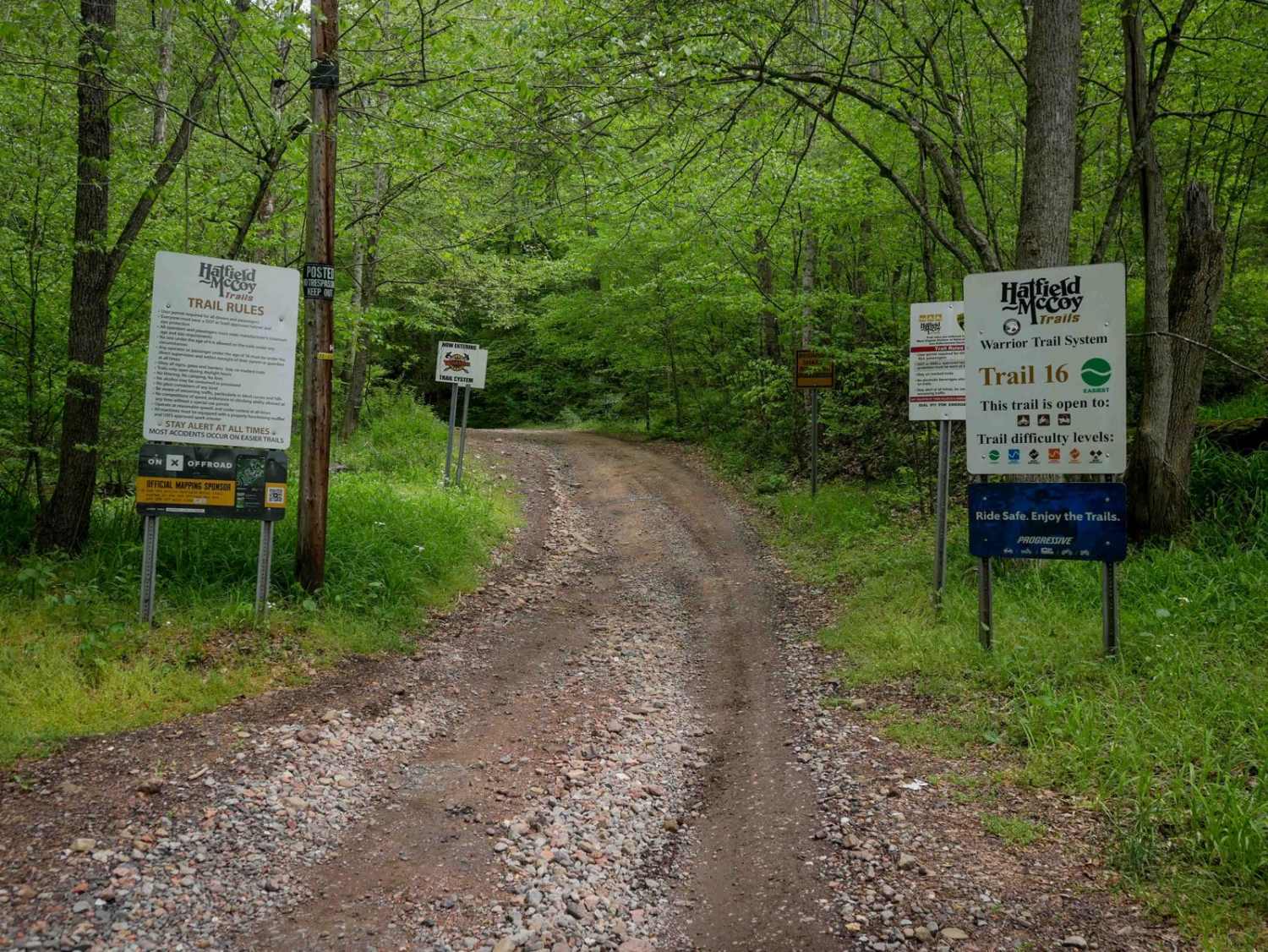
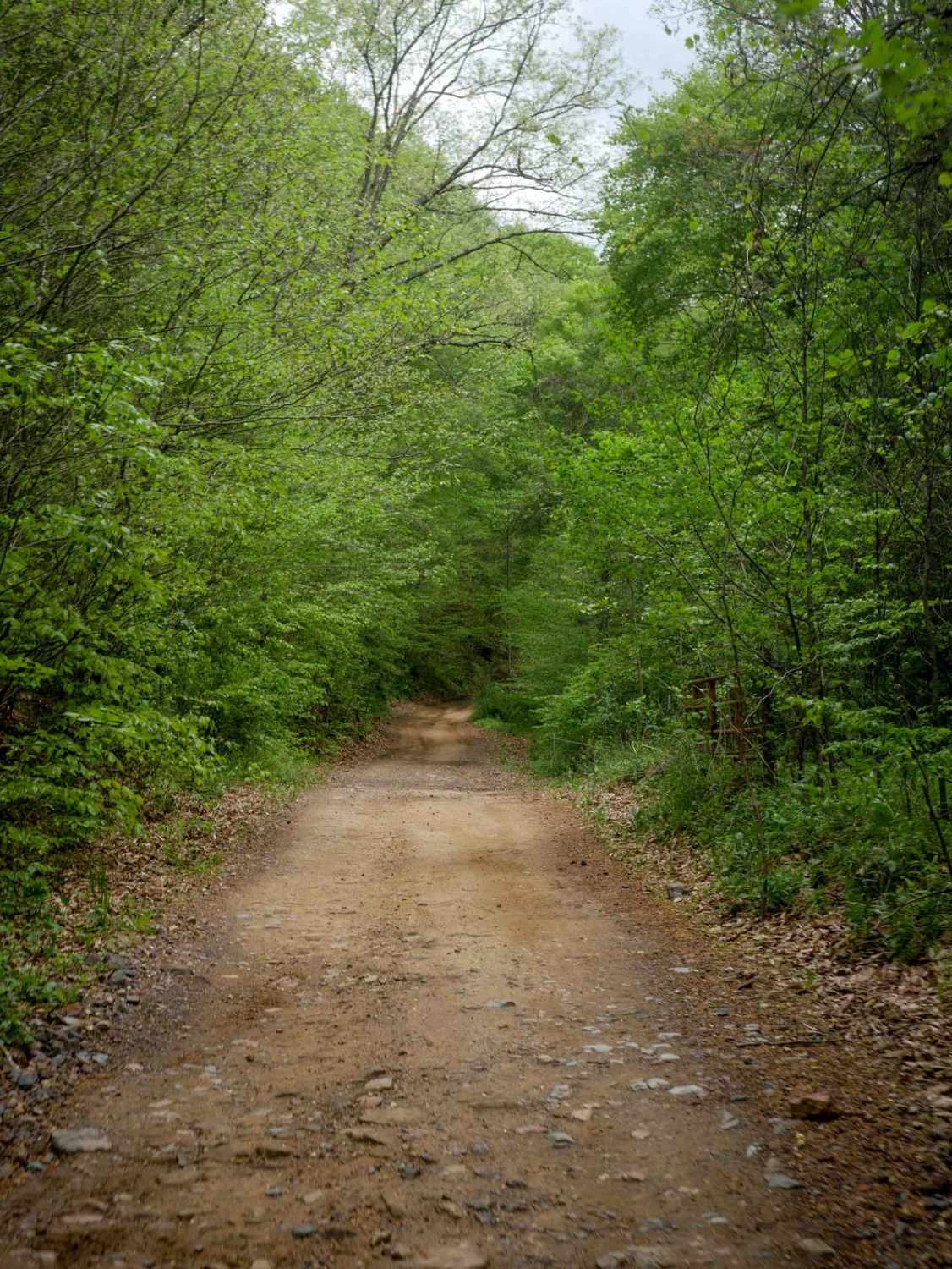
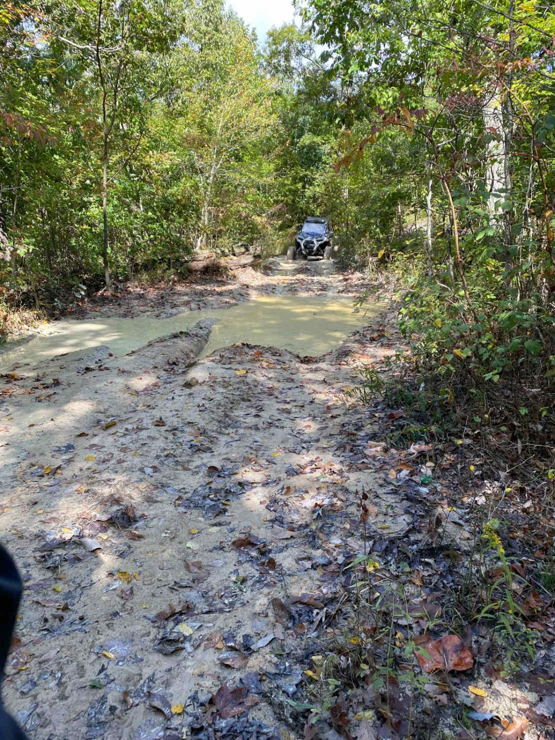
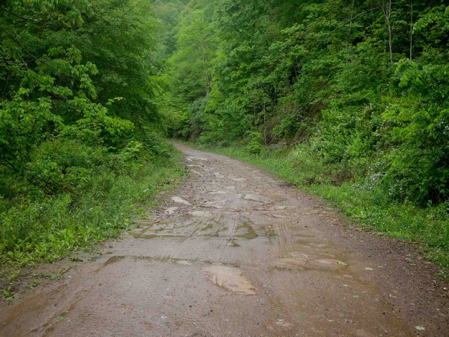
Trail Overview
Trail W16 is a 4.2-mile primary access route starting at the town of War, with a half-mile segment of pavement through a neighborhood before the official start of the trail. It begins wide through open hillsides and transitions into forested terrain, running shelf-like along a ravine at the base of a slope. The surface is mostly smooth with minor ruts and rocks, much of which is pushed to the sides, along with occasional waterbars. A long, gradual climb leads to its high point at the intersection with Trail 97. From there, it descends through similar terrain, passing the W58 loop, and continues to its endpoint at the intersection with Trail W17.
Photos of W16
Difficulty
This is an easy access route with minimal rock and ruts, but it does have some steep sections that riders should be prepared for.
Status Reports
W16 can be accessed by the following ride types:
- SxS (60")
- ATV (50")
- Dirt Bike
W16 Map
Popular Trails

Top of The Ridge Trail

The onX Offroad Difference
onX Offroad combines trail photos, descriptions, difficulty ratings, width restrictions, seasonality, and more in a user-friendly interface. Available on all devices, with offline access and full compatibility with CarPlay and Android Auto. Discover what you’re missing today!