Highland Scenic Highway
Total Miles
28.9
Technical Rating
Best Time
Spring, Fall, Winter, Summer
Trail Type
Full-Width Road
Accessible By
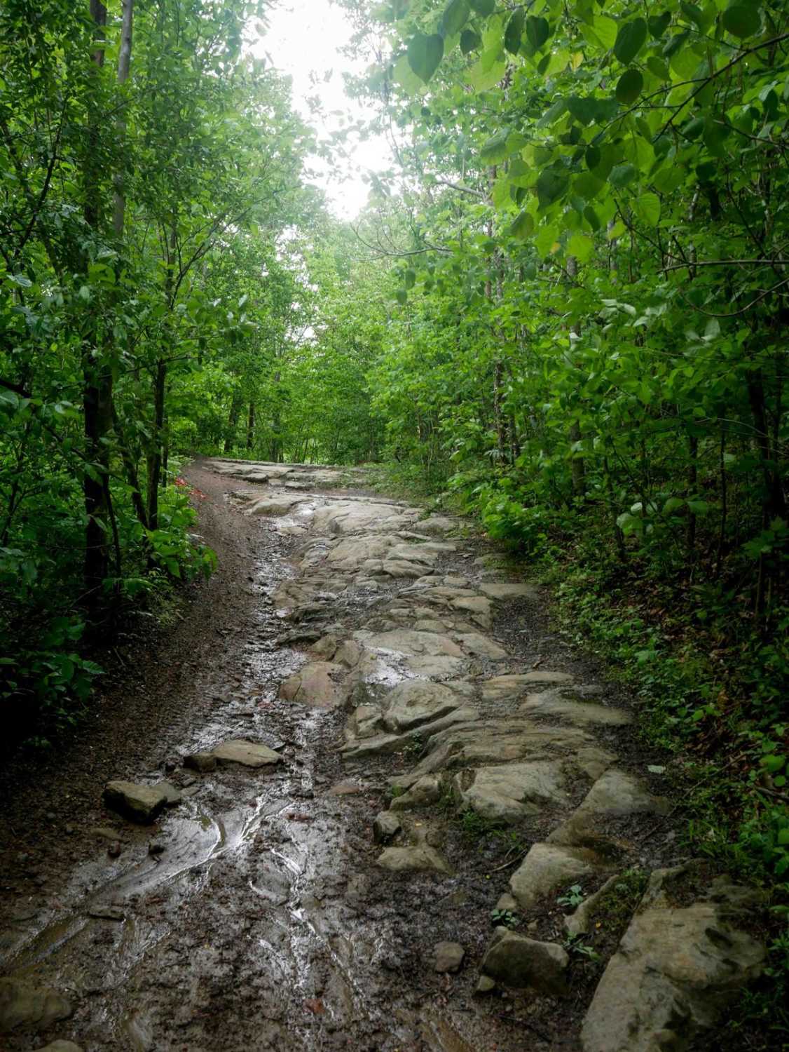
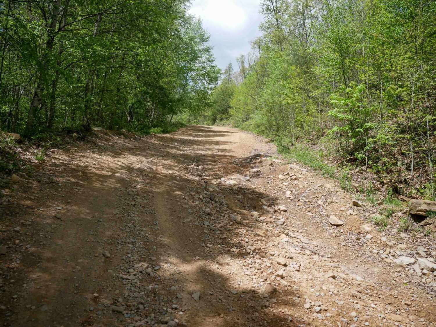
Trail Overview
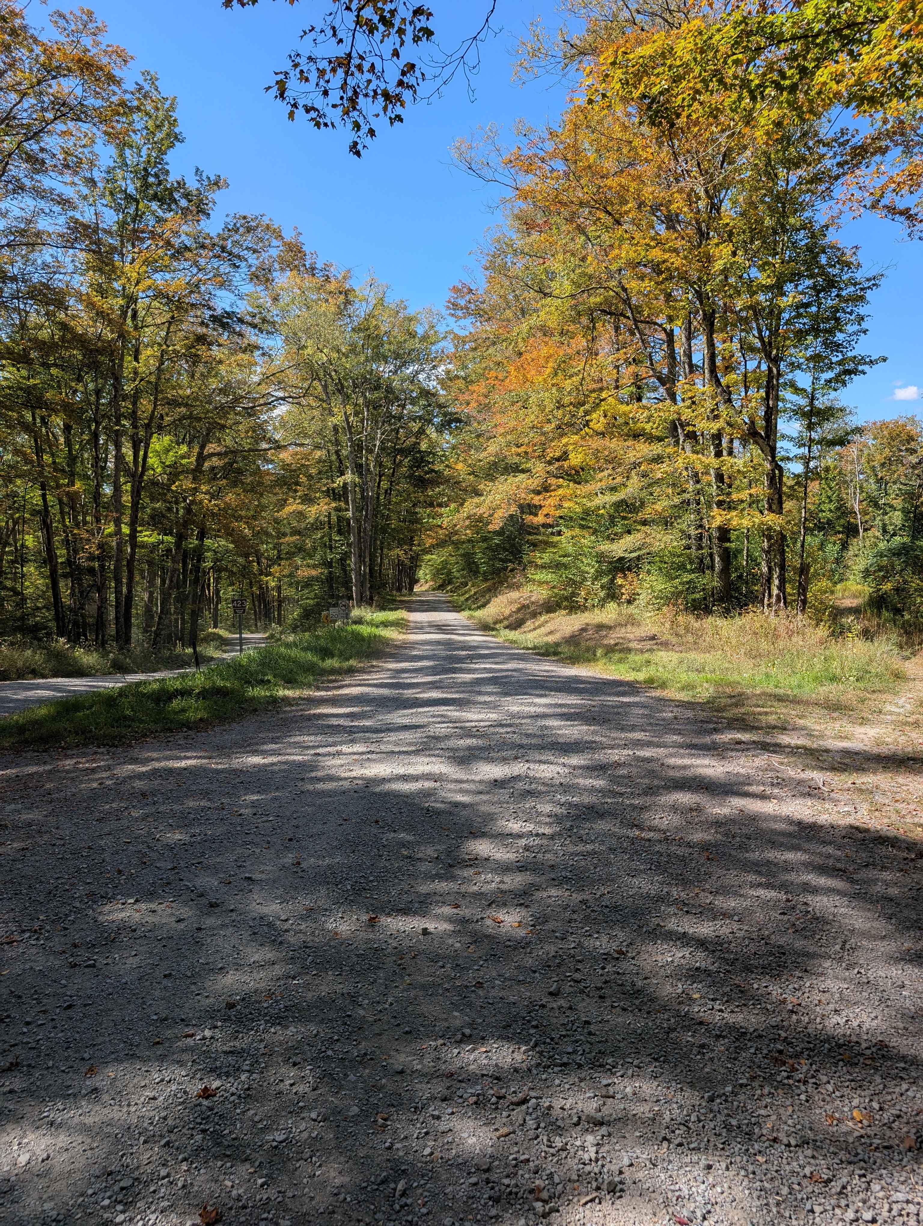
The Highland Scenic Highway is a beautiful corridor through Monongahela National Forest. This designated National Scenic Byway extends 43 miles from Richwood to US Route 219, north of Marlinton, WV. It has four developed scenic overlooks. Each site provides a comfortable rest stop, with a beautiful view of the surrounding mountains and valleys. The Highway traverses the mountainous terrain of the Allegheny Highlands and Plateau, and rises from Richwood, elevation 2,325 feet, to over 4,500 feet along the Parkway. The Highway is a paved two-lane road, designated as State Routes 39 and 150. Rt. 150 is a 23-mile Parkway section that is not maintained in the winter. Travel is discouraged on Rt. 150 between November and March, sometimes April. This location has something for everyone. Overland trails, bicycle, and a lot of hiking locations. The views are to die for!
Photos of Highland Scenic Highway


Difficulty
None driving, some of the hiking trails are difficult
Status Reports
Highland Scenic Highway can be accessed by the following ride types:
- High-Clearance 4x4
- SUV
Highland Scenic Highway Map
Popular Trails
Laurel Fork Overlook

The onX Offroad Difference
onX Offroad combines trail photos, descriptions, difficulty ratings, width restrictions, seasonality, and more in a user-friendly interface. Available on all devices, with offline access and full compatibility with CarPlay and Android Auto. Discover what you’re missing today!