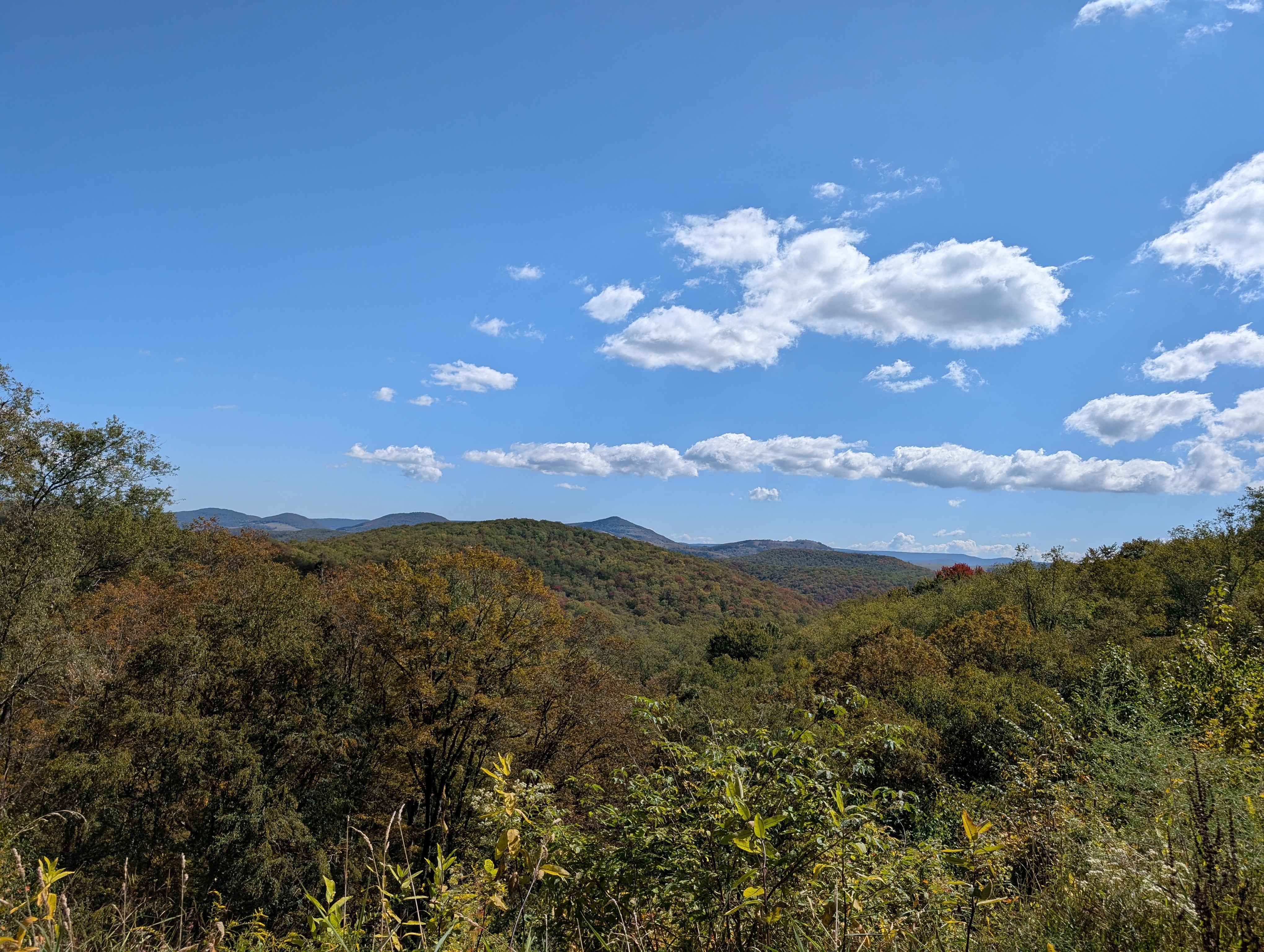
Laurel Fork Overlook
Total Miles
3.7
Technical Rating
Best Time
Fall
Trail Type
Full-Width Road
Accessible By
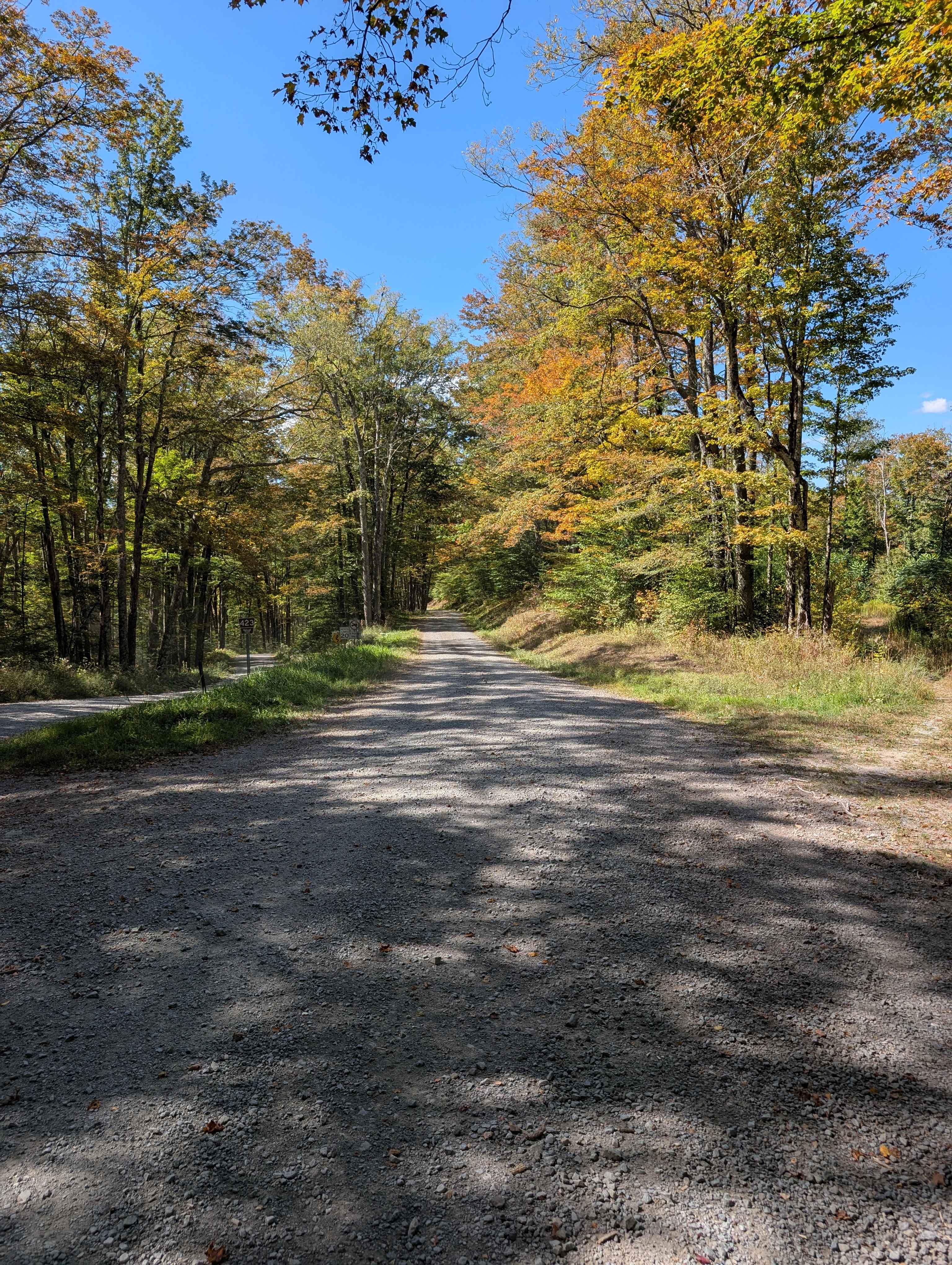
Trail Overview
Starting at Laurel Fork Campground, the route heads north along gravel roads, passing scenic areas and wildlife habitats. The trail proceeds toward the Laurel Fork Overlook, which provides stunning panoramic views of the surrounding wilderness. Continuing along the gravel roads, hikers or travelers follow marked paths that lead toward the southern boundary of the Laurel Fork Wilderness Area. The journey offers a peaceful, immersive experience in nature, with opportunities to observe local flora and fauna along the way. The route is ideal for outdoor enthusiasts seeking a picturesque and relatively easy trek through maintained roads and scenic overlooks, culminating at the protected wilderness boundary, where the area's pristine natural beauty is preserved and inviting for further exploration or camping.
Photos of Laurel Fork Overlook
Difficulty
The route follows all gravel roads with no notable obstacles.
Status Reports
Laurel Fork Overlook can be accessed by the following ride types:
- High-Clearance 4x4
- SUV
Laurel Fork Overlook Map
Popular Trails


The onX Offroad Difference
onX Offroad combines trail photos, descriptions, difficulty ratings, width restrictions, seasonality, and more in a user-friendly interface. Available on all devices, with offline access and full compatibility with CarPlay and Android Auto. Discover what you’re missing today!