B59
Total Miles
1.2
Technical Rating
Best Time
Fall, Spring, Summer, Winter
Trail Type
High-Clearance 4x4 Trail
Accessible By
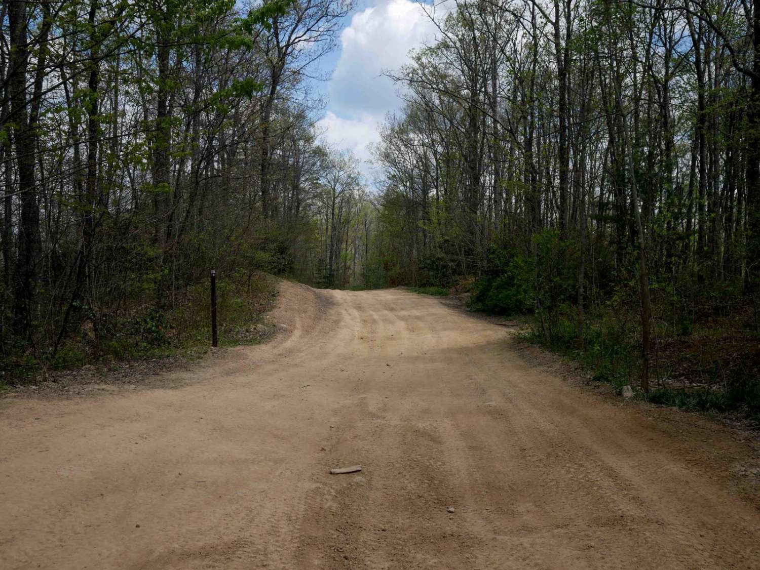
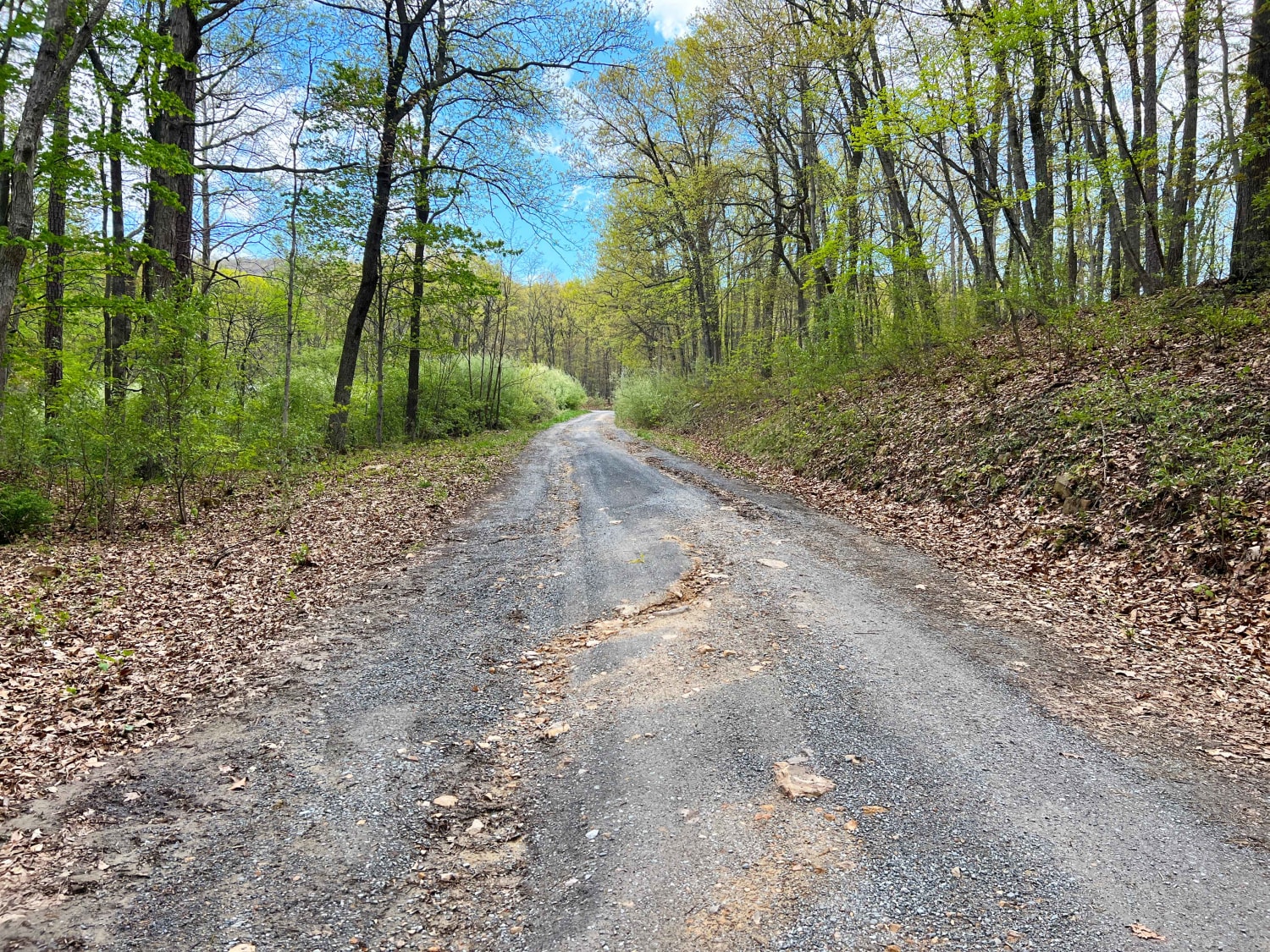
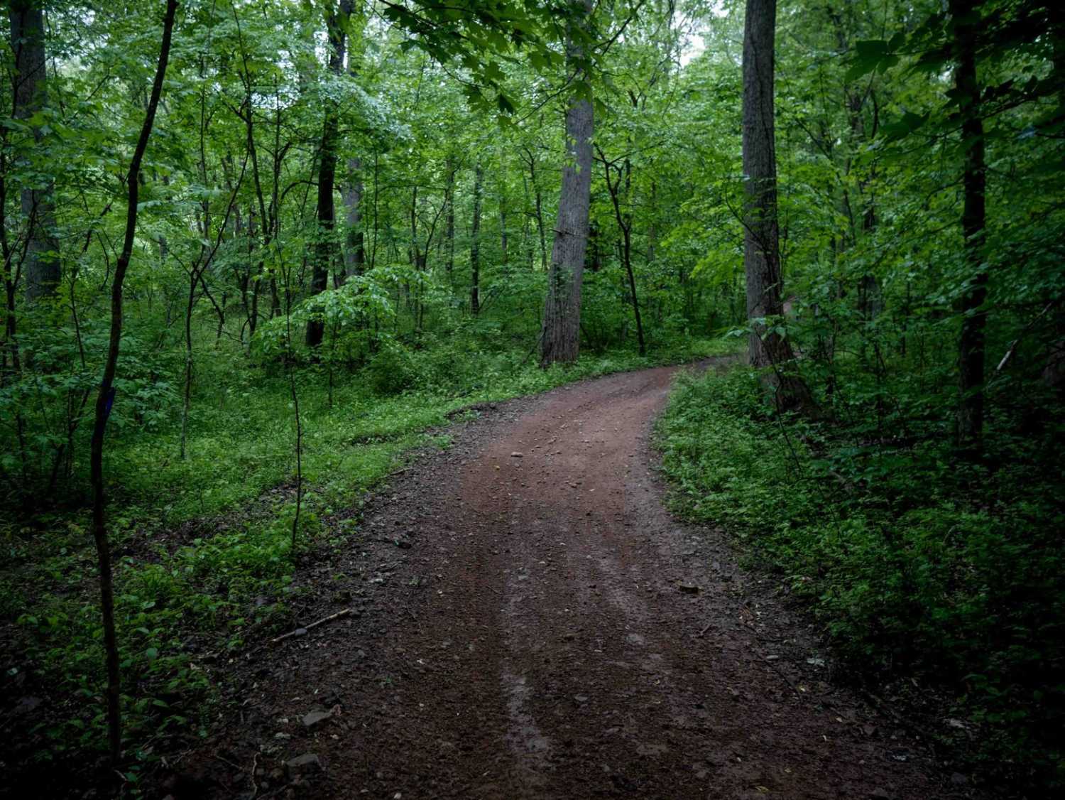
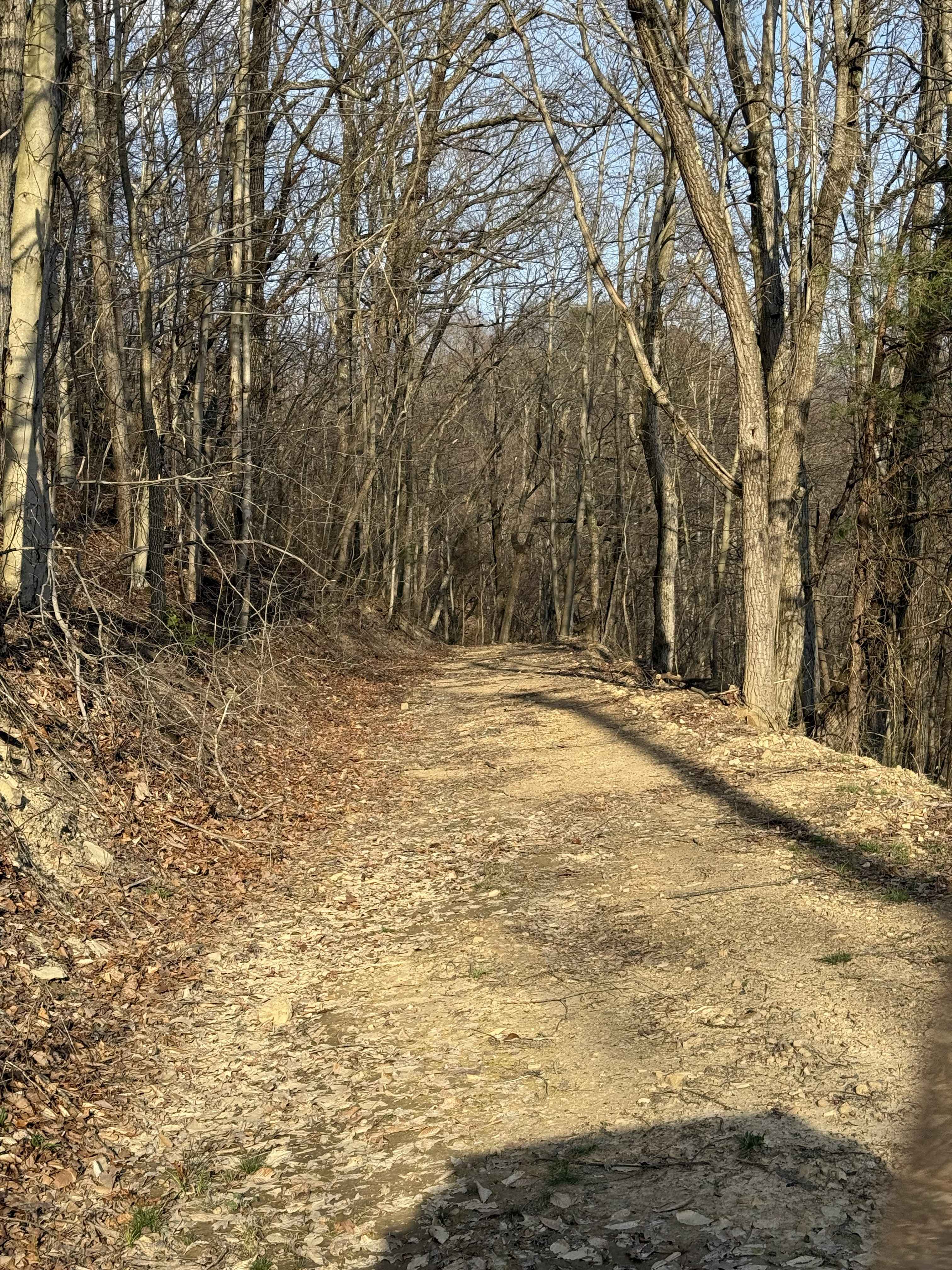
Trail Overview
This 1.2-mile loop off of B12 begins with a short, steep climb from the west end. The ascent includes embedded rock layers forming shelves less than a foot high - still easy and manageable. After the climb, the trail runs along a hilltop ridge on a gradual, easy path. Watch for downed trees and stick debris scattered along the way. The route then descends gradually down the hillside, reconnecting with Trail 12.
Photos of B59


Difficulty
This is an easy trail overall with small rock features and a steep climb, but still manageable and ideal for all skill levels. This is considered Most Difficult by Hatfield McCoy's rating system.
Status Reports
B59 can be accessed by the following ride types:
- High-Clearance 4x4
- SxS (60")
- ATV (50")
- Dirt Bike
B59 Map
Popular Trails
The onX Offroad Difference
onX Offroad combines trail photos, descriptions, difficulty ratings, width restrictions, seasonality, and more in a user-friendly interface. Available on all devices, with offline access and full compatibility with CarPlay and Android Auto. Discover what you’re missing today!