P16
Total Miles
1.7
Technical Rating
Best Time
Spring, Fall, Summer, Winter
Trail Type
60" Trail
Accessible By
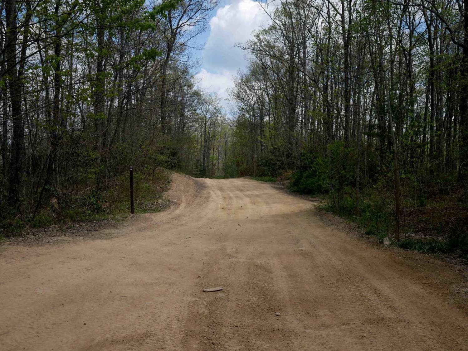
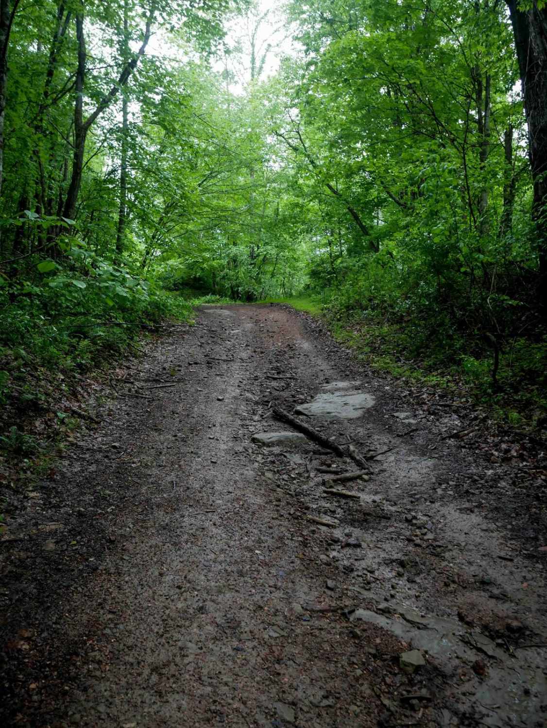
Trail Overview
Pocahontas 16 is an easy, 1.7-mile route with gradual grades, shallow ruts, and a wide path that allows for two-way travel, though riders should remain alert for oncoming traffic. The north end passes a small hot dog stand with picnic tables, offering a casual rest stop, likely only open during peak weekend hours. From the south end, riders can access the town of Matoaka via a designated OHV route on an approved highway (8.5 miles away), providing options for food and lodging.
Photos of P16

Difficulty
This is an easy SxS route with minimal features such as gradual grades and shallow ruts, but manageable for drivers of all skill levels.
Status Reports
P16 can be accessed by the following ride types:
- SxS (60")
- ATV (50")
- Dirt Bike
P16 Map
Popular Trails


The onX Offroad Difference
onX Offroad combines trail photos, descriptions, difficulty ratings, width restrictions, seasonality, and more in a user-friendly interface. Available on all devices, with offline access and full compatibility with CarPlay and Android Auto. Discover what you’re missing today!