B50
Total Miles
1.8
Technical Rating
Best Time
Fall, Spring, Summer, Winter
Trail Type
High-Clearance 4x4 Trail
Accessible By
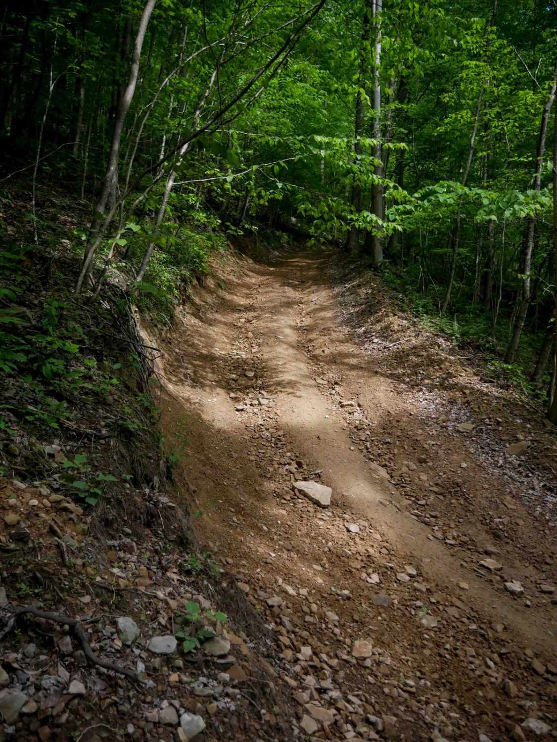
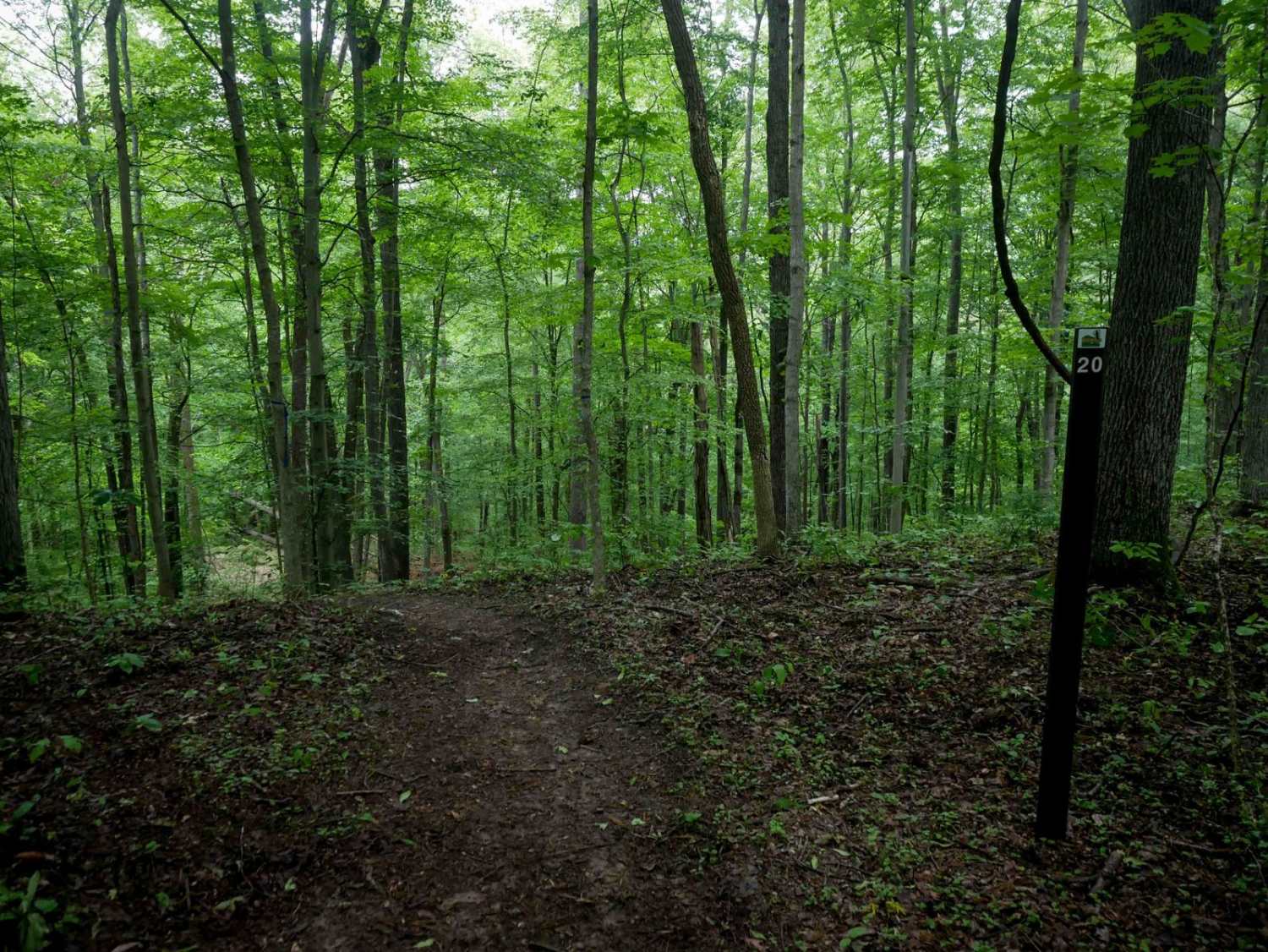
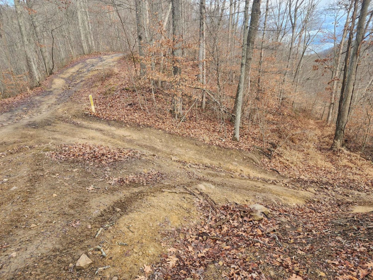
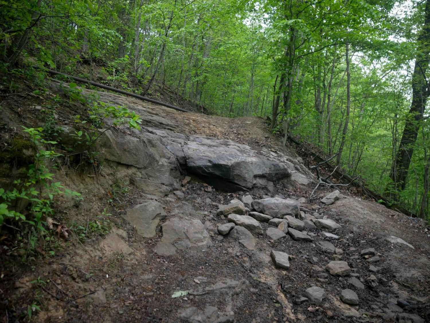
Trail Overview
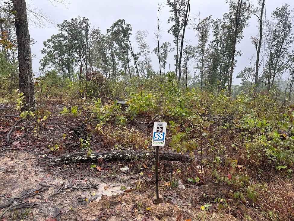
B50 is a moderate, one-lane trail that offers a steady 1.8-mile climb when heading north. The route features minor shallow ruts, loose rock, and occasional mud puddles. It begins with a steeper grade before easing into a more gradual middle section, then climbs again more steeply toward the top. As the trail winds up the hillside, drivers pass tight turns and a dug-out bank lined with exposed roots and undergrowth. The farther you climb, the bumpier it gets, with more embedded rock and deeper ruts. While not overly technical, the consistent incline and surface conditions require steady momentum to maintain traction.
Photos of B50

Difficulty
This is an intermediate trail due to the steep grade and loose rocks. This is considered Most Difficult by Hatfield McCoy's rating system.
Status Reports
B50 can be accessed by the following ride types:
- High-Clearance 4x4
- SxS (60")
- ATV (50")
- Dirt Bike
B50 Map
Popular Trails
Emily Creek
The onX Offroad Difference
onX Offroad combines trail photos, descriptions, difficulty ratings, width restrictions, seasonality, and more in a user-friendly interface. Available on all devices, with offline access and full compatibility with CarPlay and Android Auto. Discover what you’re missing today!