Emily Creek
Total Miles
1.0
Technical Rating
Best Time
Spring, Summer, Fall, Winter
Trail Type
High-Clearance 4x4 Trail
Accessible By
Trail Overview
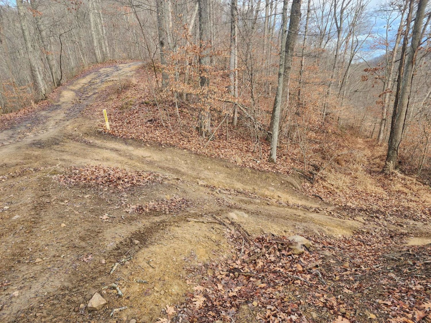
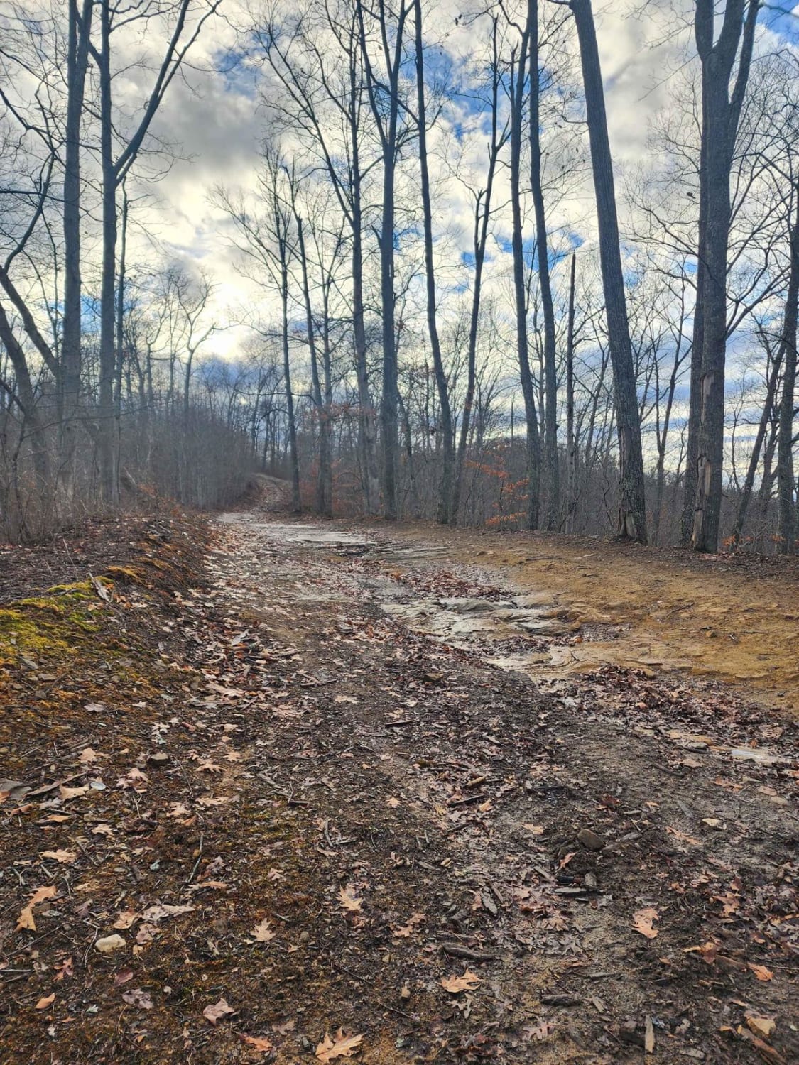
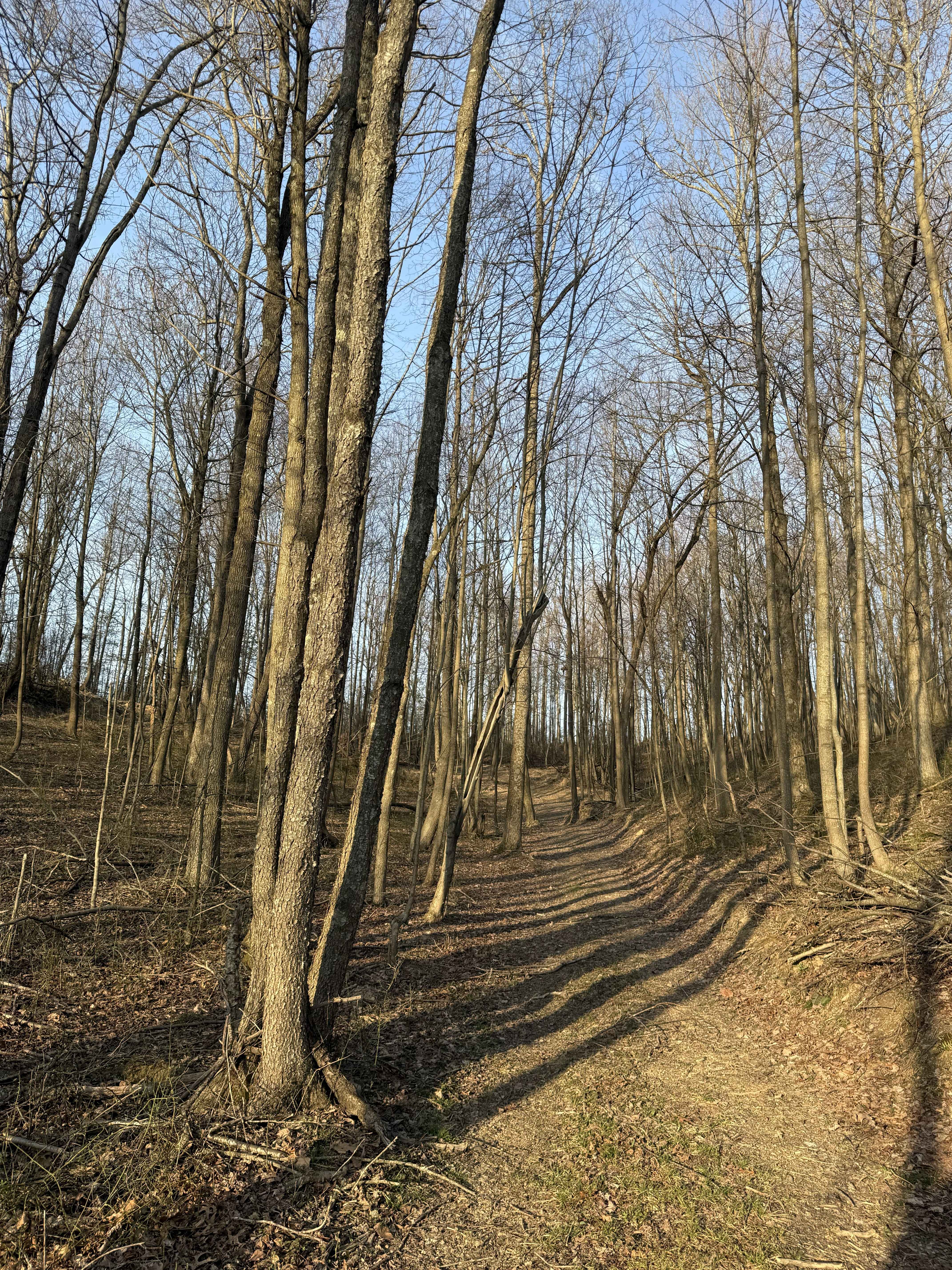
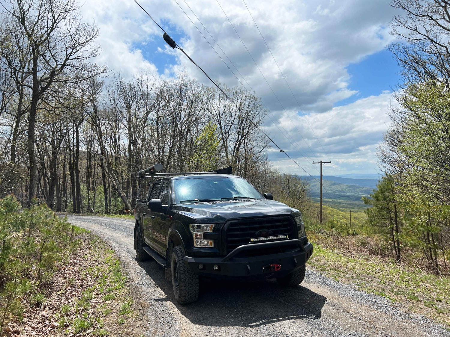
This trail will take you from "mud hole point" down to the "Right Fork of Hell Creek" to gain quick access out of the hills for help or repair. It does not have any side rides to confuse you and is pretty straightforward.
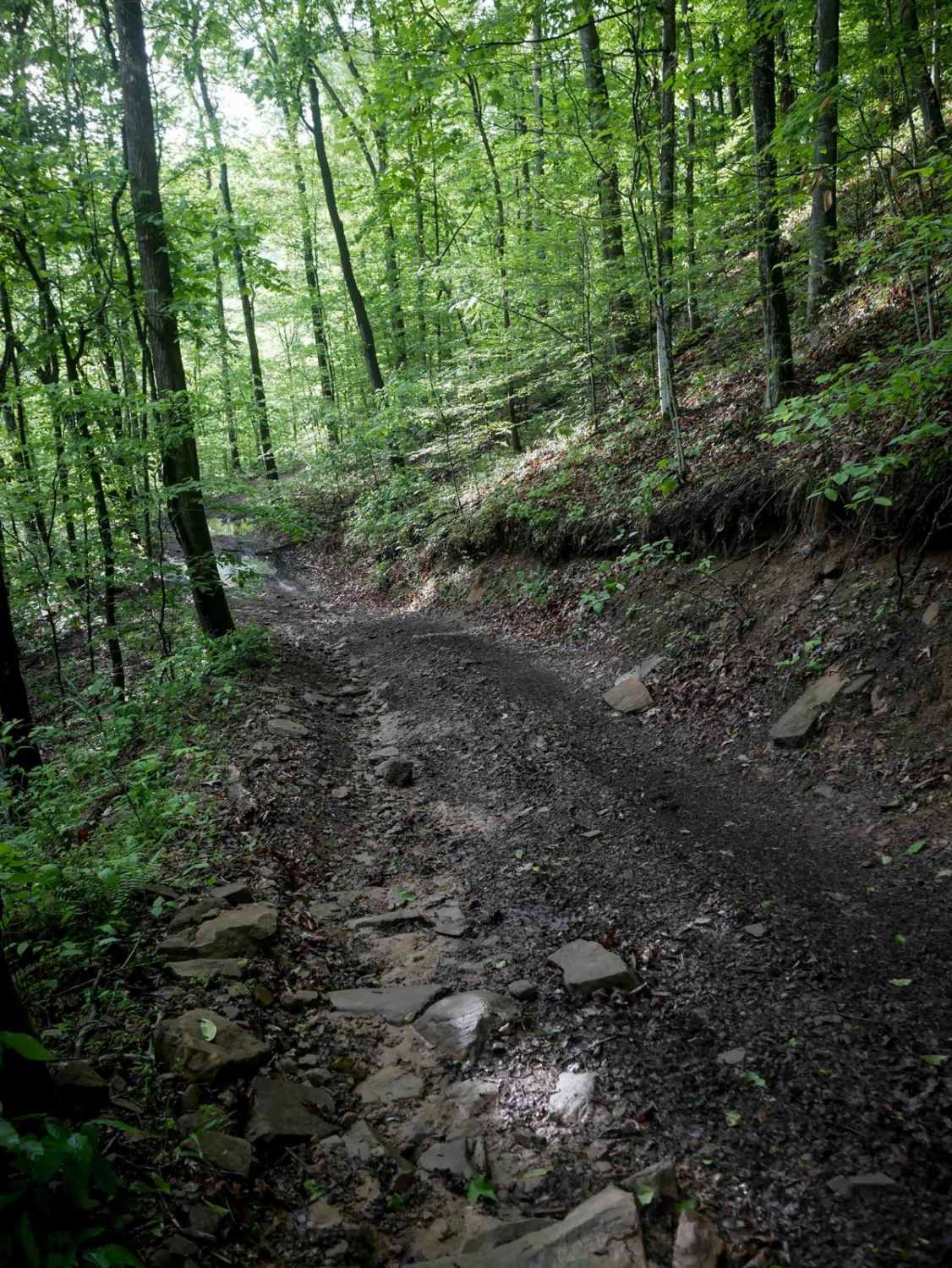
Photos of Emily Creek
Difficulty
The most difficult spot is a switchback turn, but there is plenty of room. There are some mud holes but none are deep.
Status Reports
Emily Creek can be accessed by the following ride types:
- High-Clearance 4x4
- SxS (60")
- ATV (50")
- Dirt Bike
Emily Creek Map
Popular Trails
Dry Gap Ridge

The onX Offroad Difference
onX Offroad combines trail photos, descriptions, difficulty ratings, width restrictions, seasonality, and more in a user-friendly interface. Available on all devices, with offline access and full compatibility with CarPlay and Android Auto. Discover what you’re missing today!